Hinkson Creek on:
[Wikipedia]
[Google]
[Amazon]
 Hinkson Creek is a
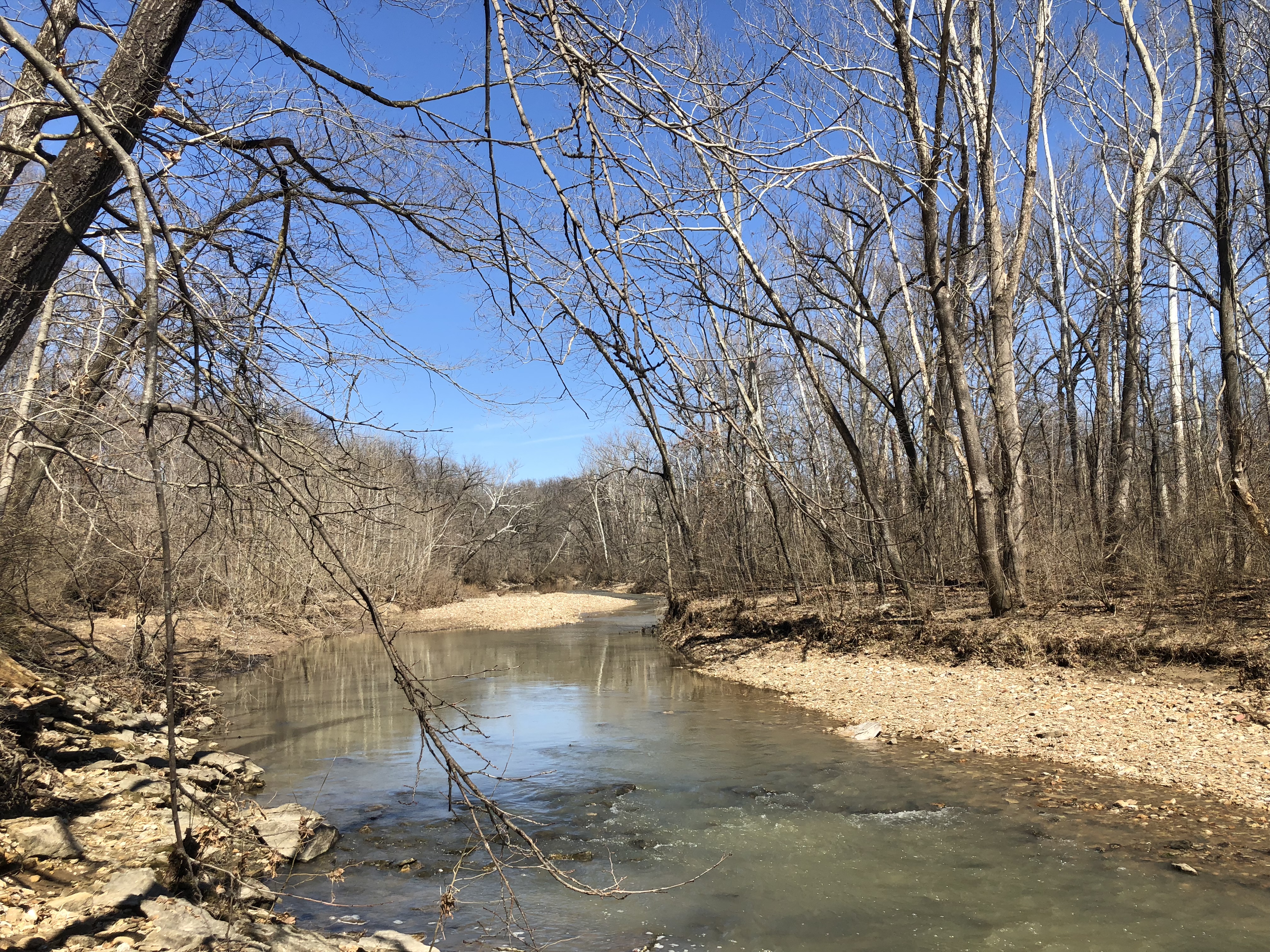
File:Hinkson Creek on a Winter Day (16606575305).jpg, Hinkson Creek in February 2015 after snow
File:Hinkson Creek Geese and Bridge.jpg, Canada geese near Stadium Blvd in 2019
File:Hinkson Creek Bluff in March 2019.jpg, A bluff near Old Highway 63 in 2019
USGS current conditions
{{authority control Geography of Columbia, Missouri Rivers of Boone County, Missouri Rivers of Missouri
 Hinkson Creek is a
 stream
A stream is a continuous body of water, body of surface water Current (stream), flowing within the stream bed, bed and bank (geography), banks of a channel (geography), channel. Depending on its location or certain characteristics, a strea ...
in Boone County in the U.S. state
In the United States, a state is a constituent political entity, of which there are 50. Bound together in a political union, each state holds governmental jurisdiction over a separate and defined geographic territory where it shares its so ...
of Missouri
Missouri (''see #Etymology and pronunciation, pronunciation'') is a U.S. state, state in the Midwestern United States, Midwestern region of the United States. Ranking List of U.S. states and territories by area, 21st in land area, it border ...
. Its middle section runs through the city of Columbia, Missouri
Columbia is a city in Missouri, United States. It was founded in 1821 as the county seat of Boone County, Missouri, Boone County and had a population of 126,254 as recorded in the 2020 United States census, making it the List of cities in Misso ...
It was named after Robert Hinkson, a pioneer citizen who lived along its banks. Several trails, conservation areas, and parks are along its path. it eventually empties into Perche Creek
Perche Creek, or Roche Perche Creek is a stream in Boone and Randolph counties in the U.S. state of Missouri. Besides the Missouri River it is the largest stream in Boone County, Missouri and forms much of the western border of the city of Colum ...
southwest of Columbia. The MKT Trail
The MKT Nature and Fitness Trail is a recreational rail trail in Columbia, Missouri, that runs in the right-of-way of the former Missouri–Kansas–Texas Railroad. Developed from 1982 onward, it is a spur of the longest rail trail in the United ...
follows the creek in Boone County.
The stream headwaters arise at approximately two miles northeast of Hallsville at an approximate elevation of 880 feet.''Centralia, MO,'' 7.5 Minute Topographic Quadrangle, USGS, 1969 (1979 rev) The stream flows south-southwest past Hallsville and through the east side of Columbia where it passes under US Route 63
U.S. Route 63 (US 63) is a , north–south United States Highway primarily in the Midwestern United States, Midwestern and Southern United States. The southern terminus of the route is at Interstate 20 (I-20) in Ruston, Louisiana; the north ...
and I-70
Interstate 70 (I-70) is a major east–west Interstate Highway in the United States that runs from I-15 near Cove Fort, Utah, to I-695 and Maryland Route 570 (MD 570) in Woodlawn, just outside Baltimore, Maryland.
I-70 appr ...
. South of Columbia the stream turns to the west-southwest and reaches its confluence with Perche Creek at at an elevation of 558 feet.
The Hinkson Woods Conservation Area is located within meanders of the creek. On June 25, 2021 the Hinkson flooded, reaching a record 23.04 feet in Columbia.
Gallery
See also
*List of rivers of Missouri
List of rivers in Missouri (U.S. state).
By drainage basin
This list is arranged by drainage basin, with respective tributaries indented under each larger stream's name.
Mississippi River
Arkansas River
*Mississippi River
**Arkansas River (AR ...
References
External links
USGS current conditions
{{authority control Geography of Columbia, Missouri Rivers of Boone County, Missouri Rivers of Missouri