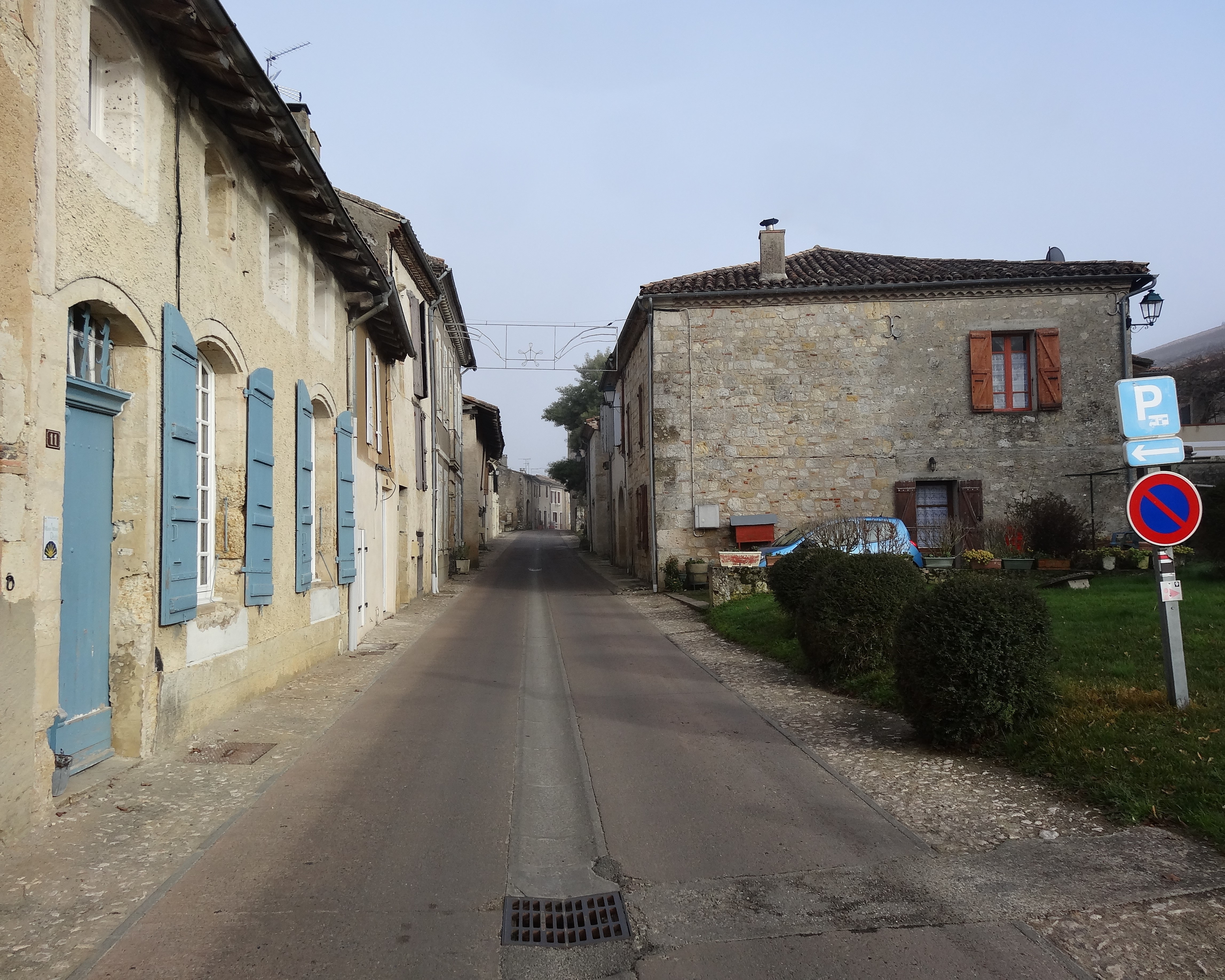
Flamarens on:
[Wikipedia]
[Google]
[Amazon]
Flamarens (Gascon: "Flamarens") is a commune located in the northeast of the 
Earthquake Plan
/ref>

Gers
Gers (; or , ) is a departments of France, department in the regions of France, region of Occitania (administrative region), Occitania, Southwestern France. Gers is bordered by the departments of Hautes-Pyrénées and Pyrénées-Atlantiques to ...
department in the Occitanie administrative region. Historically and culturally, the commune is in the Lomagne region, a former district of the Gascony
Gascony (; ) was a province of the southwestern Kingdom of France that succeeded the Duchy of Gascony (602–1453). From the 17th century until the French Revolution (1789–1799), it was part of the combined Province of Guyenne and Gascon ...
province.
Experiencing an altered oceanic climate, it is drained by the Métau stream and various other small streams.
The commune's architectural heritage includes two buildings protected as historic monuments of France: the Château de Flamarens, listed in 1965, and the Church of Saint-Saturnin in Flamarens, registered in 1993.

Geography
Location
Flamarens is a commune in Gascony located on the old National Road 653 between Valence (Tarn-et-Garonne) and Fleurance, in the Lomagne department. It borders the Tarn-et-Garonne department.Neighboring municipalities
Geology and relief
Lomagne is divided into two regions: the so-called limestone Lomagne and the earth Lomagne. Flamarens is located in the latter. This region of Gers is characterized by highly technical agriculture: wheat and maize, but also melon and garlic, and seeds, represent the main activity of a sparse population. Backyard livestock also play a major role. Flamarens is located in seismicity zone 1 (very low seismicity)./ref>
Hydrography
Geography

Population
See also
*Communes of the Gers department
The following is a list of the 458 communes of the Gers department of France.
The communes cooperate in the following intercommunalities (as of 2025):
References
Communes of Gers {{Gers-geo-stub