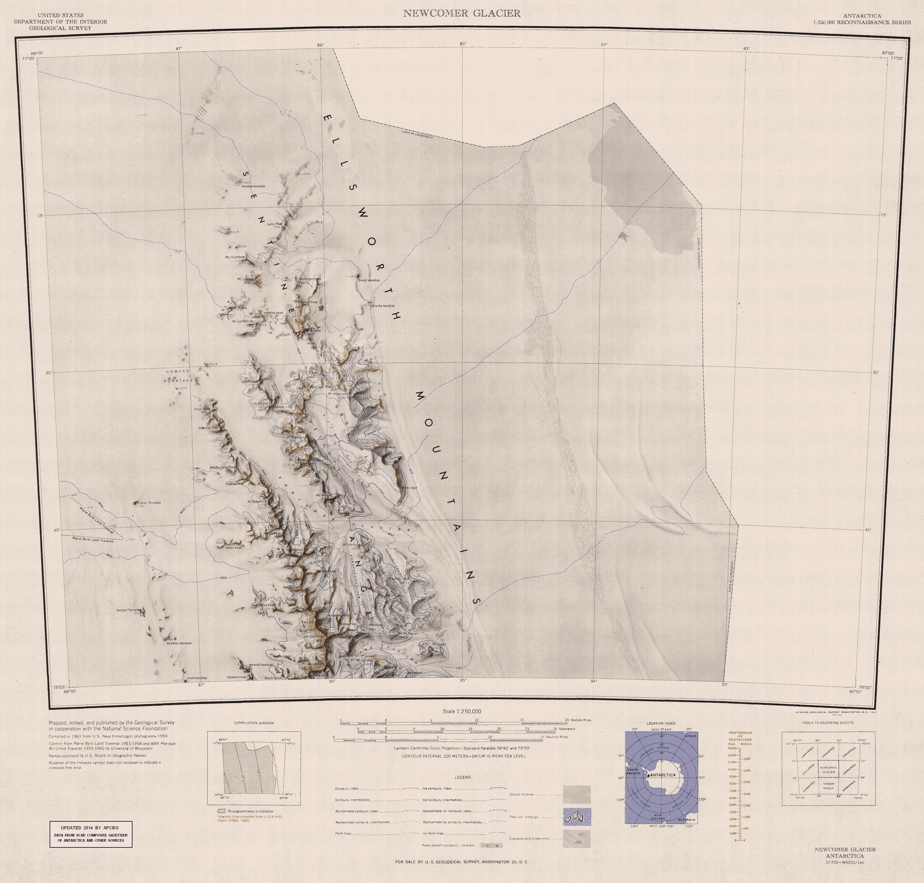
Fisher Nunatak on:
[Wikipedia]
[Google]
[Amazon]

 Fisher Nunatak is a

 Fisher Nunatak is a
 nunatak
A nunatak (from Inuit language, Inuit ) is the summit or ridge of a mountain that protrudes from an ice field or glacier that otherwise covers most of the mountain or ridge. They often form natural pyramidal peaks. Isolated nunataks are also cal ...
with rock exposure, standing west of Mount Crawford of the Sentinel Range
The Sentinel Range is a major mountain range situated northward of Minnesota Glacier and forming the northern half of the Ellsworth Mountains in Antarctica. The range trends NNW-SSE for about and is wide. Many peaks rise over and Vinson Mass ...
, in the Ellsworth Mountains
The Ellsworth Mountains are the highest mountain ranges in Antarctica, forming a long and wide chain of mountains in a north to south configuration on the western margin of the Ronne Ice Shelf in Marie Byrd Land. They are bisected by Minneso ...
of Antarctica. It was discovered by the Marie Byrd Land
Marie Byrd Land (MBL) is an unclaimed region of Antarctica. With an area of , it is the largest unclaimed territory on Earth. It was named after the wife of American naval officer Richard E. Byrd, who explored the region in the early 20th centu ...
Traverse party, 1957–58, under Charles R. Bentley
Charles Raymond Bentley (December 23, 1929 – August 19, 2017) was an American glaciologist and geophysicist, born in Rochester, New York. He was a professor emeritus at the University of Wisconsin–Madison. Mount Bentley and the Bentley Su ...
, and was named for Diana D. Fisher, director, Glaciological Headquarters, of the United States – International Geophysical Year
The International Geophysical Year (IGY; ), also referred to as the third International Polar Year, was an international scientific project that lasted from 1 July 1957 to 31 December 1958. It marked the end of a long period during the Cold War w ...
Program, 1956–59.
References
Nunataks of Ellsworth Land {{EllsworthLand-geo-stub