Erma Knoll on:
[Wikipedia]
[Google]
[Amazon]

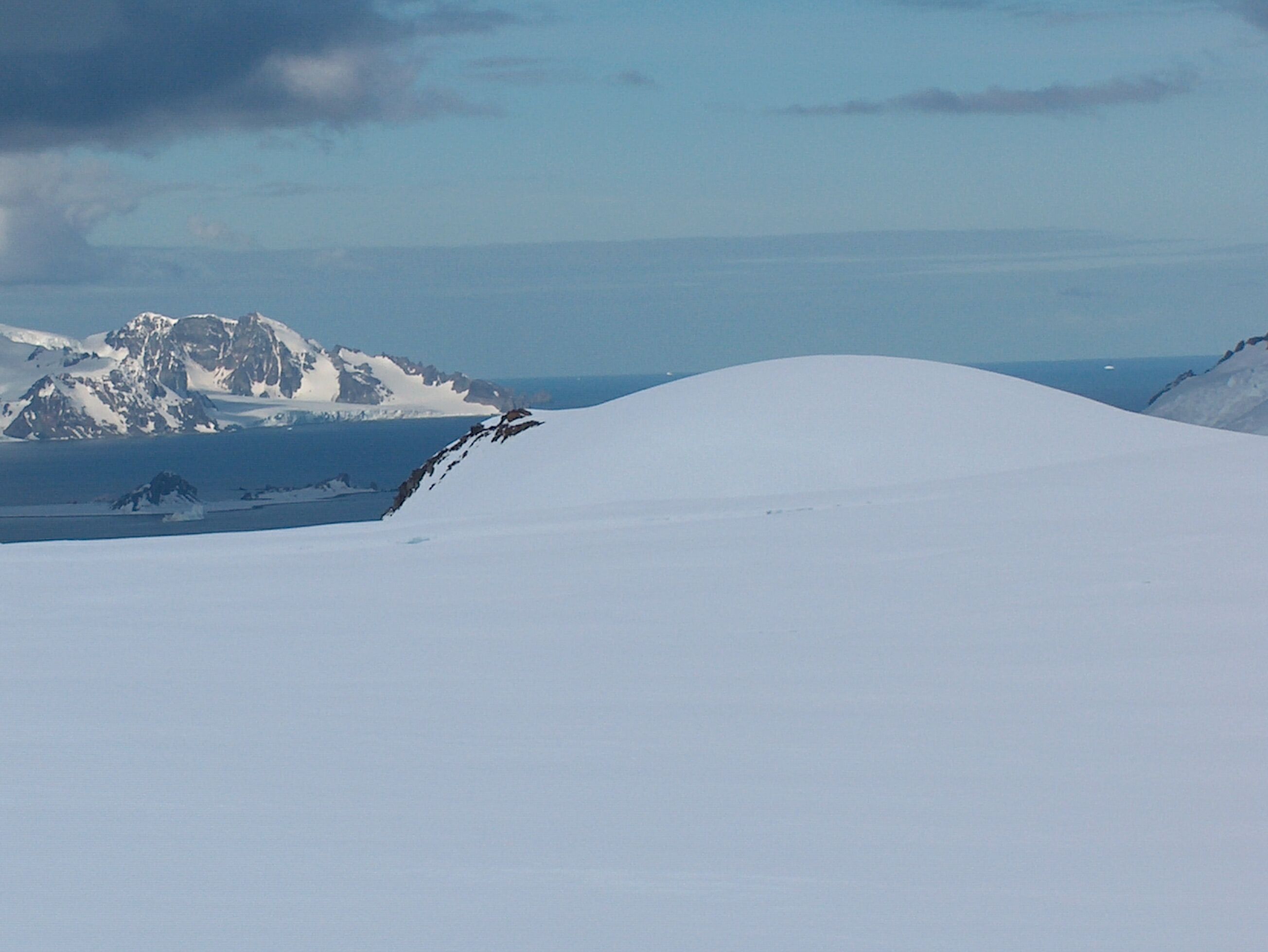
 Erma Knoll (, ) is a peak in upper
Antarctica: Livingston Island and Greenwich, Robert, Snow and Smith Islands
Scale 1:120000 topographic map. Troyan: Manfred Wörner Foundation, 2009. * A. Kamburov and L. Ivanov. Bowles Ridge and Central Tangra Mountains: Livingston Island, Antarctica. Scale 1:25000 map. Sofia: Manfred Wörner Foundation, 2023.
Erma Knoll.
SCAR
Bulgarian Antarctic Gazetteer.
basic data
in English)
Erma Knoll.
Copernix satellite image {{Bulgarian-named Antarctic place Hills of Livingston Island

 Erma Knoll (, ) is a peak in upper
 Huron Glacier
Huron Glacier is a } long and wide glacial flow on Livingston Island in the South Shetland Islands of Antarctica, situated east of Perunika Glacier, southeast of Kaliakra Glacier, south of Struma Glacier, west-northwest of Iskar Glacier and ...
, Livingston Island. The peak was first visited on 17 December 2004 by the Bulgarian Lyubomir Ivanov from Camp Academia
Camp Academia (, ) is a geographical locality in eastern Livingston Island, South Shetland Islands, Antarctica, named for the Bulgarian Academy of Sciences in appreciation of the Academy’s contribution to Antarctic exploration. The site was fir ...
, and was mapped by Bulgaria
Bulgaria, officially the Republic of Bulgaria, is a country in Southeast Europe. It is situated on the eastern portion of the Balkans directly south of the Danube river and west of the Black Sea. Bulgaria is bordered by Greece and Turkey t ...
in 2005 and 2009 from the Tangra 2004/05
The Tangra 2004/05 Expedition was commissioned by the Antarctic Place-names Commission at the Ministry of Foreign Affairs (Bulgaria), Ministry of Foreign Affairs of Bulgaria, managed by the Manfred Wörner Foundation, and supported by the ...
topographic survey. The knoll is named after Erma River in western Bulgaria.
Location
The knoll is located at which is 1.6 km east-southeast ofKuzman Knoll
Kuzman Knoll (Kuzmanova Mogila \'kuz-ma-no-va mo-'gi-la\) is a solitary ice-covered knoll rising to 620 m in eastern Livingston Island in the South Shetland Islands, Antarctica. The knoll forms a conspicuous landmark in Wörner Gap area, overl ...
, 1.3 km northeast of Zograf Peak and 390 m northeast of Lozen Nunatak
Lozen Nunatak (, ) is a 440m hill in upper Huron Glacier, Livingston Island. It is part of a minor ridge in the north foothills of Tangra Mountains including also Erma Knoll and Aheloy Nunatak, and linked to Zograf Peak by Lozen Saddle. The ...
.
Maps
* L.L. Ivanov et al. Antarctica: Livingston Island and Greenwich Island, South Shetland Islands. Scale 1:100000 topographic map. Sofia: Antarctic Place-names Commission of Bulgaria, 2005. * L.L. IvanovAntarctica: Livingston Island and Greenwich, Robert, Snow and Smith Islands
Scale 1:120000 topographic map. Troyan: Manfred Wörner Foundation, 2009. * A. Kamburov and L. Ivanov. Bowles Ridge and Central Tangra Mountains: Livingston Island, Antarctica. Scale 1:25000 map. Sofia: Manfred Wörner Foundation, 2023.
References
Erma Knoll.
SCAR
Composite Antarctic Gazetteer
The Composite Gazetteer of Antarctica (CGA) of the Scientific Committee on Antarctic Research (SCAR) is the authoritative international gazetteer containing all Antarctic toponyms published in national gazetteers, plus basic information about th ...
Bulgarian Antarctic Gazetteer.
Antarctic Place-names Commission
The Antarctic Place-names Commission was established by the Bulgarian Antarctic Institute in 1994, and since 2001 has been a body affiliated with the Ministry of Foreign Affairs (Bulgaria), Ministry of Foreign Affairs of Bulgaria.
The Commis ...
. (details in Bulgarianbasic data
in English)
External links
Erma Knoll.
Copernix satellite image {{Bulgarian-named Antarctic place Hills of Livingston Island