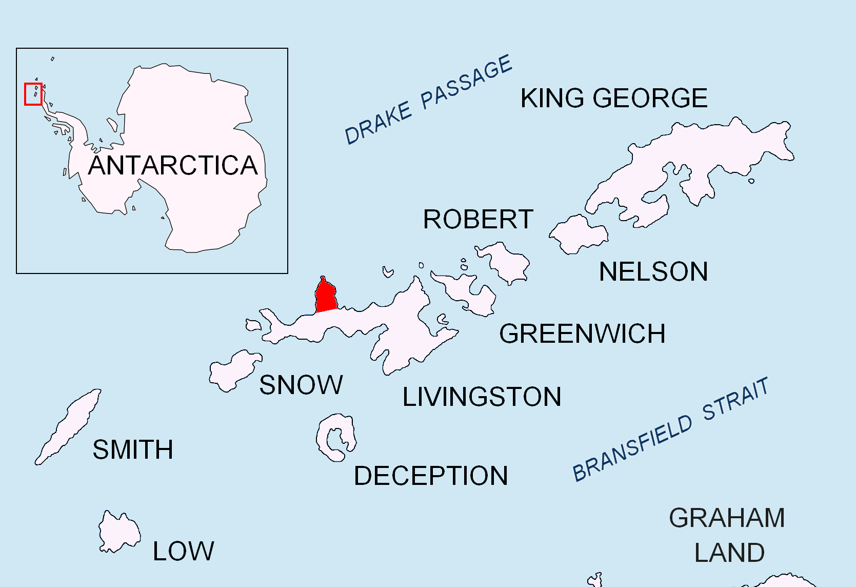
Dreyfus Point on:
[Wikipedia]
[Google]
[Amazon]

 Dreyfus Point is a rounded low point on the west coast of
Antarctica: Livingston Island and Greenwich, Robert, Snow and Smith Islands
Scale 1:120000 topographic map. Troyan: Manfred Wörner Foundation, 2009.
SCAR Composite Antarctic Gazetteer
Headlands of Livingston Island {{LivingstonIsland-geo-stub
 Dreyfus Point is a rounded low point on the west coast of
 Ioannes Paulus II Peninsula
Ioannes Paulus II Peninsula (, ) is an ice-covered peninsula on the north coast of Livingston Island in the South Shetland Islands, Antarctica that is bounded by Hero Bay to the east and Barclay Bay to the west. It extends 13 km in length in ...
, western Livingston Island
Livingston Island (Russian name ''Smolensk'', ) is an Antarctic island in the Southern Ocean, part of the South Shetland Islands, South Shetlands Archipelago, a group of List of Antarctic and subantarctic islands, Antarctic islands north of the ...
in the South Shetland Islands
The South Shetland Islands are a group of List of Antarctic and subantarctic islands, Antarctic islands located in the Drake Passage with a total area of . They lie about north of the Antarctic Peninsula, and between southwest of the n ...
, Antarctica
Antarctica () is Earth's southernmost and least-populated continent. Situated almost entirely south of the Antarctic Circle and surrounded by the Southern Ocean (also known as the Antarctic Ocean), it contains the geographic South Pole. ...
.
The feature is named after Iván Dreyfus, an Air Force engineer who participated in the 1949 Chilean Antarctic Expedition
The First Chilean Antarctic Expedition (1947–1948) was an expedition to Antarctica mounted by the Chilean government and military to enforce its territorial claims against British challenges, namely Operation Tabarin.
Among other accomplishmen ...
.
Location
Dreyfus Point is located at which is 2 km north-northeast of Scesa Point, 3.15 km south-southwest of Mercury Bluff, 7 km south-southwest ofCape Shirreff
Cape Shirreff is a prominent cape at the north end of the rocky peninsula which separates Hero Bay and Barclay Bay on the north coast of Livingston Island, in the South Shetland Islands of Antarctica. The cape was named by Edward Bransfield ...
and 800 m southwest of Kudoglu Point (British mapping in 1968 and Bulgarian in 2005 and 2009).
Maps
* L.L. Ivanov et al. Antarctica: Livingston Island and Greenwich Island, South Shetland Islands. Scale 1:100000topographic map
In modern mapping, a topographic map or topographic sheet is a type of map characterized by large- scale detail and quantitative representation of relief features, usually using contour lines (connecting points of equal elevation), but histori ...
. Sofia: Antarctic Place-names Commission
The Antarctic Place-names Commission was established by the Bulgarian Antarctic Institute in 1994, and since 2001 has been a body affiliated with the Ministry of Foreign Affairs (Bulgaria), Ministry of Foreign Affairs of Bulgaria.
The Commis ...
of Bulgaria, 2005.
* L.L. IvanovAntarctica: Livingston Island and Greenwich, Robert, Snow and Smith Islands
Scale 1:120000 topographic map. Troyan: Manfred Wörner Foundation, 2009.
References
SCAR Composite Antarctic Gazetteer
Headlands of Livingston Island {{LivingstonIsland-geo-stub