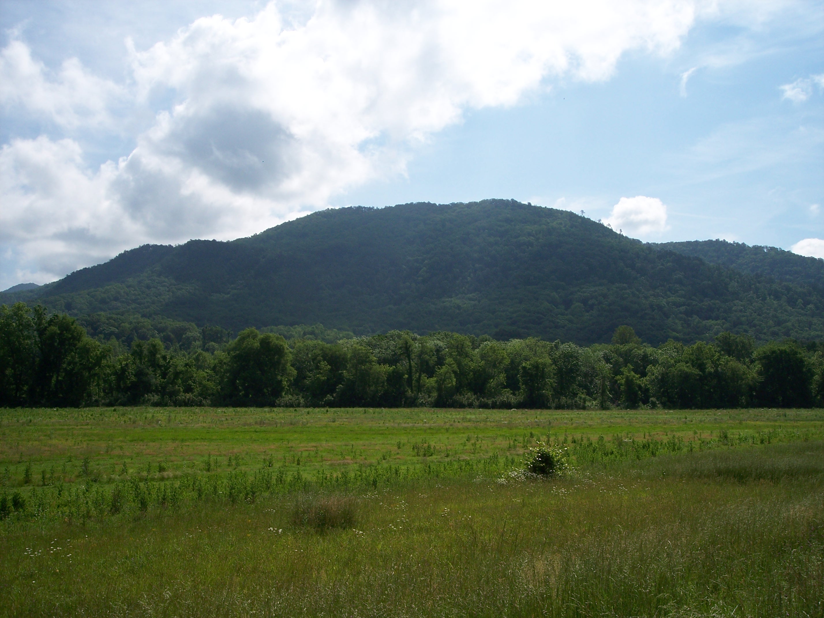
Chilhowee Mountain on:
[Wikipedia]
[Google]
[Amazon]
Chilhowee Mountain is the name of two non-contiguous 
ridge
A ridge is a long, narrow, elevated geomorphologic landform, structural feature, or a combination of both separated from the surrounding terrain by steep sides. The sides of a ridge slope away from a narrow top, the crest or ridgecrest, wi ...
s in the U.S. state of Tennessee
Tennessee (, ), officially the State of Tennessee, is a landlocked U.S. state, state in the Southeastern United States, Southeastern region of the United States. It borders Kentucky to the north, Virginia to the northeast, North Carolina t ...
. The ridges run in a northeastern to southwestern direction. The northern section is at the outer edge of the Great Smoky Mountains, stretching from the Little Pigeon River watershed at the northeast to the Little Tennessee River and Chilhowee Dam to the southwest. The southern section runs from Tellico Plains to the Ocoee River in Polk County. The northern section is traversed by the Foothills Parkway from Walland to its terminus near Chilhowee.
Background
While the northern ridge is long, it rarely reaches a width of more than or . Little River cuts a large gap in the middle of the mountain (near Walland), dividing it into northeastern and southwestern sections. The highest point on the southwestern section is at a knob known as Look Rock. The highest point on the northeastern section, known as The Three Sisters, rises to , and is visible from nearbyMaryville, Tennessee
Maryville is a city in and the county seat of Blount County, Tennessee. Its population was 31,907 at the 2020 United States census, 2020 census.
History
The Great Indian Warpath (which was used to build the route U.S. Route 411, US-411) was long ...
.
The southern ridge is about long and sits entirely within the Cherokee National Forest. The Ocoee River passes along its southwestern base, along with the Ocoee Scenic Byway, part of U.S. Route 64. The mountain is separated from Oswald Dome to the north by a saddle, although both are technically part of the same ridge. The highest point on this section is . The mountain is accessible from US 64 via a paved forest service road, which contains multiple overlooks. A campground with an artificial lake, operated by the Forest Service, is located atop the mountain. Benton Falls is a waterfall
A waterfall is any point in a river or stream where water flows over a vertical drop or a series of steep drops. Waterfalls also occur where meltwater drops over the edge
of a tabular iceberg or ice shelf.
Waterfalls can be formed in seve ...
on the eastern escarpment of the mountain and is accessible via a trail that begins at the campground.
Name
Chilhowee Mountain derives its name from Chilhowee, aCherokee
The Cherokee (; , or ) people are one of the Indigenous peoples of the Southeastern Woodlands of the United States. Prior to the 18th century, they were concentrated in their homelands, in towns along river valleys of what is now southwestern ...
village in the 18th century. The etymology of the Cherokee name is unclear, and may be derived from the Muscogean name Chalahume, an earlier Creek name for the village. In English it has also been written "Chilhoe". Notes and references
* {{Mountains of Tennessee Ridges of Tennessee Great Smoky Mountains Mountains of Great Smoky Mountains National Park Mountains of Blount County, Tennessee Landforms of Polk County, Tennessee