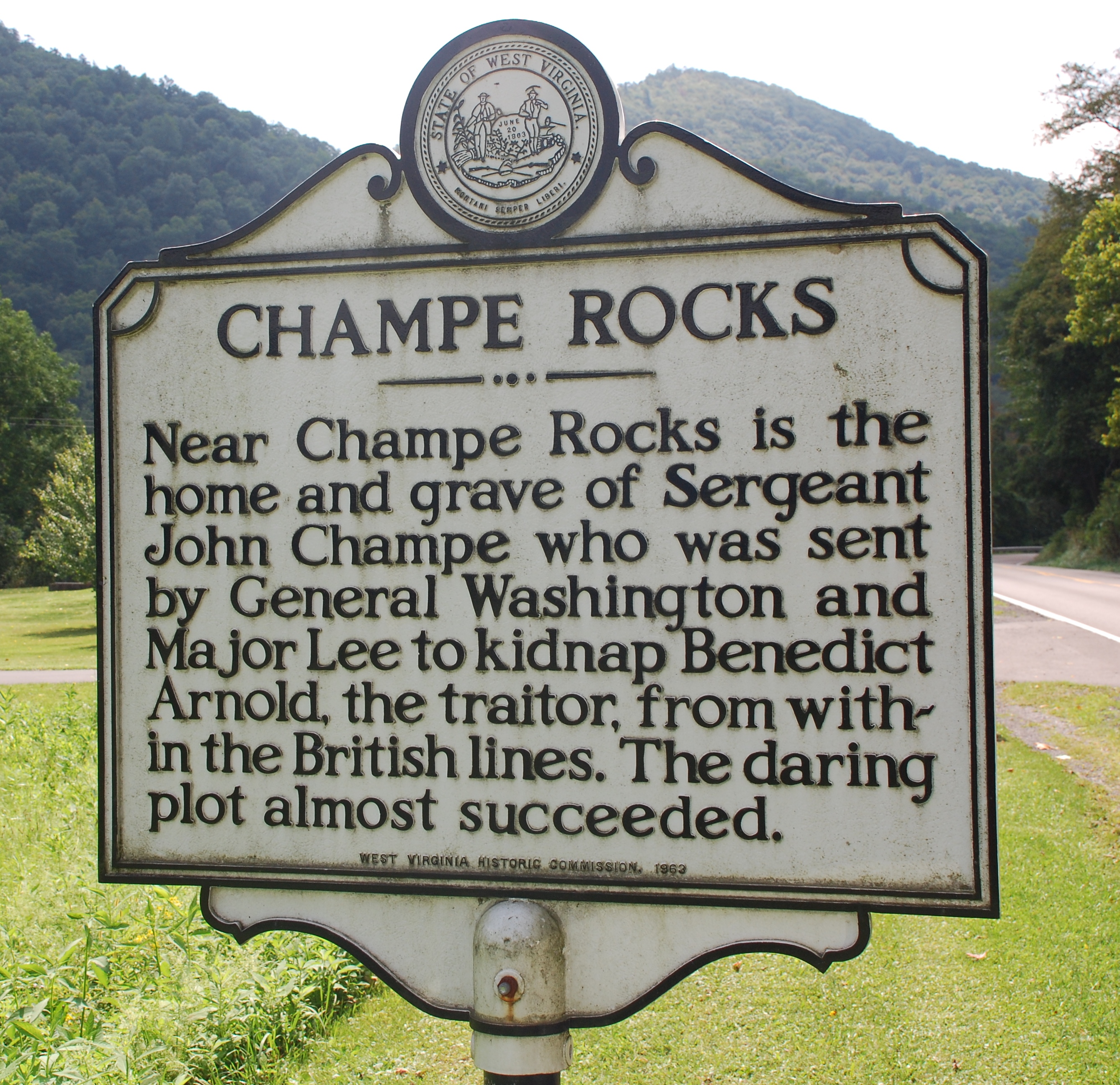
Champe Rocks on:
[Wikipedia]
[Google]
[Amazon]
Champe Rocks are a pair of large crags in Pendleton County in the
 Champe Rocks are named for
Eastern Panhandle
The Eastern Panhandle is the eastern of the two panhandles in the U.S. state of West Virginia; the other is the Northern Panhandle. It is a small stretch of territory in the northeast of the state, bordering Maryland and Virginia. Some source ...
of West Virginia
West Virginia is a state in the Appalachian, Mid-Atlantic and Southeastern regions of the United States.The Census Bureau and the Association of American Geographers classify West Virginia as part of the Southern United States while the ...
, USA. Easily visible from West Virginia Route 28
West Virginia Route 28 is a north–south route through the Potomac Highlands of the U.S. state of West Virginia. The southern terminus of the route is at West Virginia Route 39 in Huntersville. The northern terminus is at the Maryland stat ...
, they are situated within the Spruce Knob–Seneca Rocks National Recreation Area. They are — along with the nearby and more celebrated Seneca Rocks
Seneca Rocks is a large crag and local landmark in Pendleton County in the Eastern Panhandle of West Virginia, United States. The south peak is one of a small number of peaks inaccessible except by technical rock climbing techniques on the East ...
— the most imposing examples in eastern West Virginia of several formations of the white/gray Tuscarora Tuscarora may refer to the following:
First nations and Native American people and culture
* Tuscarora people
**''Federal Power Commission v. Tuscarora Indian Nation'' (1960)
* Tuscarora language, an Iroquoian language of the Tuscarora people
* ...
quartzite
Quartzite is a hard, non- foliated metamorphic rock which was originally pure quartz sandstone.Essentials of Geology, 3rd Edition, Stephen Marshak, p 182 Sandstone is converted into quartzite through heating and pressure usually related to tec ...
and are a popular challenge for rock climbers
Rock climbing is a sport in which participants climb up, across, or down natural rock formations. The goal is to reach the summit of a formation or the endpoint of a usually pre-defined route without falling. Rock climbing is a physically an ...
.
Champe Knobs, from which the Rocks emerge, are a northern extension of the River Knobs, which contain other similar "razorback" ridges or "fins
A fin is a thin component or appendage attached to a larger body or structure. Fins typically function as foils that produce lift or thrust, or provide the ability to steer or stabilize motion while traveling in water, air, or other fluids. F ...
" such as Judy Rocks at Judy Gap, and Nelson Rocks at Nelson Gap. Champe Rocks are 2,257 feet above sea level.
History
 Champe Rocks are named for
 Sergeant Major
Sergeant major is a senior non-commissioned rank or appointment in many militaries around the world.
History
In 16th century Spain, the ("sergeant major") was a general officer. He commanded an army's infantry, and ranked about third in t ...
John Champe (1752–1798), a Revolutionary War soldier who became a double agent
In the field of counterintelligence, a double agent is an employee of a secret intelligence service for one country, whose primary purpose is to spy on a target organization of another country, but who is now spying on their own country's organ ...
in an attempt to capture the American traitor General Benedict Arnold
Benedict Arnold ( Brandt (1994), p. 4June 14, 1801) was an American military officer who served during the Revolutionary War. He fought with distinction for the American Continental Army and rose to the rank of major general before defect ...
. Commanded by Major Henry "Light-Horse Harry" Lee and handpicked by George Washington for the mission, Champe "defected" to the British side and came very close to succeeding, but at the last moment, Arnold changed plans and the whole endeavor had to be called off. Champe, who was born in Loudoun County, Virginia
Loudoun County () is in the northern part of the Commonwealth of Virginia in the United States. In 2020, the census returned a population of 420,959, making it Virginia's third-most populous county. Loudoun County's seat is Leesburg. Loudoun C ...
, settled near the Rocks after the War.
Access
Although Champe Rocks lie within Spruce Knob–Seneca Rocks National Recreation Area and are clearly visible fromWest Virginia Route 28
West Virginia Route 28 is a north–south route through the Potomac Highlands of the U.S. state of West Virginia. The southern terminus of the route is at West Virginia Route 39 in Huntersville. The northern terminus is at the Maryland stat ...
, there is no direct access to the formation from the public road without trespassing through private property. The Rocks are therefore only rarely climbed.
References
Rock formations of West Virginia Landforms of Pendleton County, West Virginia Quartzite formations Silurian geology Silurian West Virginia Landmarks in West Virginia Monongahela National Forest Protected areas of Pendleton County, West Virginia Climbing areas of the United States {{PendletonCountyWV-geo-stub