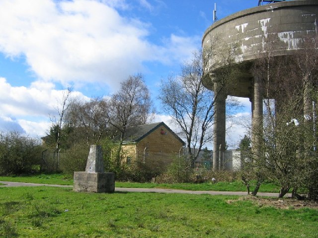
Carrickstone, Cumbernauld on:
[Wikipedia]
[Google]
[Amazon]


 Carrickstone is an area of


 Carrickstone is an area of
 Cumbernauld
Cumbernauld (; ) is a large town in the Shires of Scotland, historic county of Dunbartonshire and council area of North Lanarkshire, Scotland. It is the tenth List of towns and cities in Scotland by population, most-populous locality in Scotl ...
, Scotland
Scotland is a Countries of the United Kingdom, country that is part of the United Kingdom. It contains nearly one-third of the United Kingdom's land area, consisting of the northern part of the island of Great Britain and more than 790 adjac ...
. It is on the north of the M80 and west of Cumbernauld Town Centre
The Centre Cumbernauld (formerly Cumbernauld town centre) is the commercial centre of the new town of Cumbernauld, Scotland. It was designed in the 1950s—as what became known as a megastructure—to be a town centre consisting of "one huge mul ...
. The area it now occupies used to be covered by Carrickstone farm with the 25 inch Ordnance Survey map showing it between an ancient "standing stone" and The Village.
Toponymy
The historical etymology of Carrickstone's name is uncertain although it is now undoubtedly tied to the Roman altar.History
Carrickstone is named after the only Roman altar still in the open air in Scotland. John Watson in the New Statistical Account of Scotland described the stone long before the modern settlement took shape. The stone has also been linked withRobert Bruce
Robert I (11 July 1274 – 7 June 1329), popularly known as Robert the Bruce (), was King of Scots from 1306 until his death in 1329. Robert led Scotland during the First War of Scottish Independence against England. He fought successfully dur ...
, being the place where he reportedly set up his standard on his way to Bannockburn
Bannockburn () is an area immediately south of the centre of Stirling in Scotland. It is part of the City of Stirling. It is named after the Bannock Burn, a stream running through the town before flowing into the River Forth.
History
Land in ...
. There is a some evidence that coffins were laid on top of the stone on their way to the cemetery in Kirkintilloch
Kirkintilloch (; ; ) is a town and a Burgh of Barony (The Baron of Kirkintilloch) in East Dunbartonshire, Scotland. It lies on the Forth and Clyde Canal and on the south side of Strathkelvin, about northeast of central Glasgow. Historically ...
and that the stone has been somewhat worn away. Several old documents show Carrickstone including maps by Charles Ross, and William Roy
Major-General William Roy (4 May 17261 July 1790) was a Scottish military engineer, surveyor, and antiquarian. He was an innovator who applied new scientific discoveries and newly emerging technologies to the accurate geodetic mapping of Gr ...
.
References
{{Areas of Cumbernauld Areas of Cumbernauld