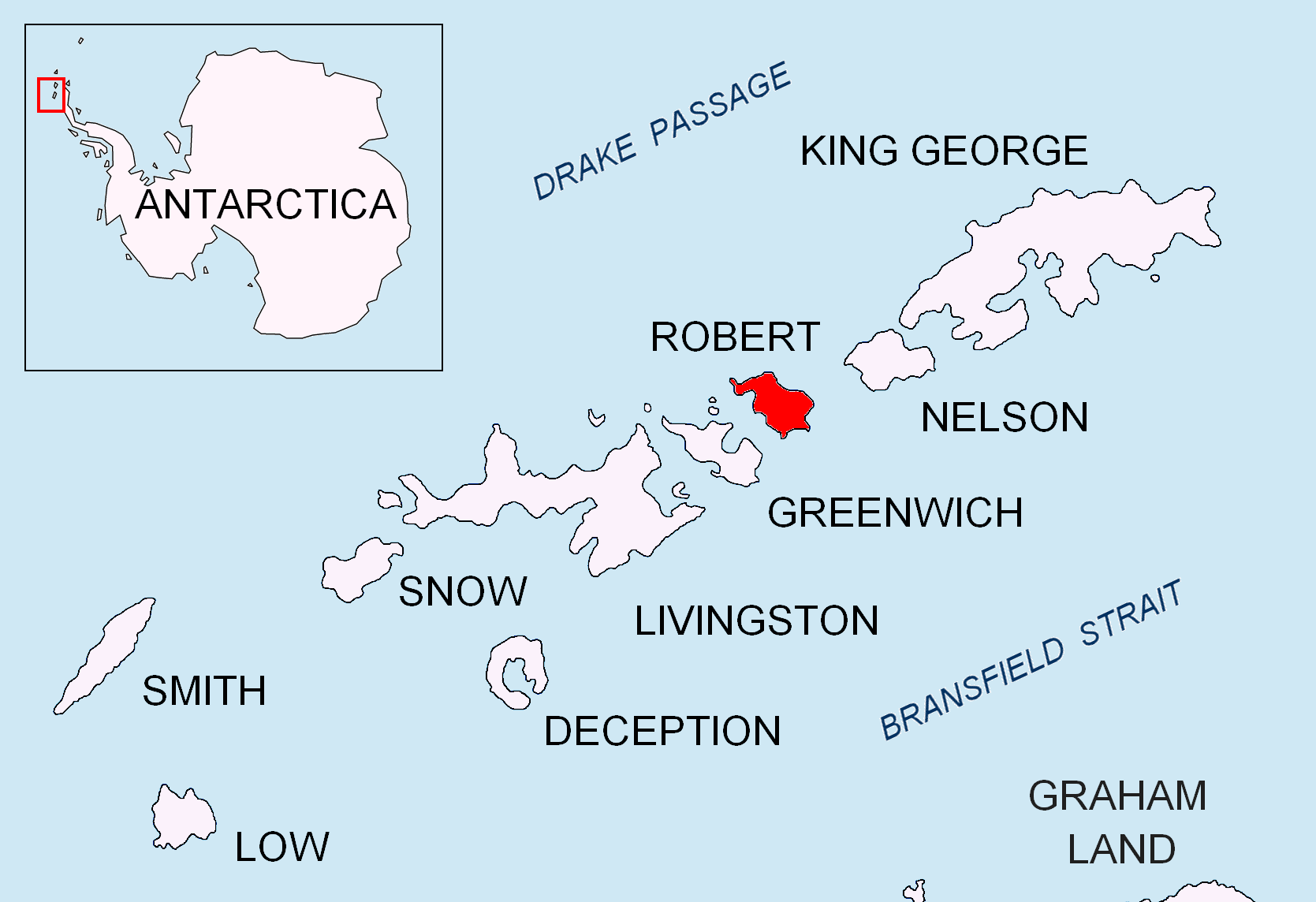
Carlota Cove on:
[Wikipedia]
[Google]
[Amazon]


 Carlota Cove is the 1.9 km wide cove indenting for 1.14 km the northwest coast of Alfatar Peninsula,
Antarctica: Livingston Island and Greenwich, Robert, Snow and Smith Islands
Scale 1:120000
SCAR Composite Antarctic Gazetteer
Coves of Robert Island {{RobertIsland-geo-stub


 Carlota Cove is the 1.9 km wide cove indenting for 1.14 km the northwest coast of Alfatar Peninsula,
 Robert Island
Robert Island or Mitchells Island or Polotsk Island or Roberts Island is an island
An island or isle is a piece of land, distinct from a continent, completely surrounded by water. There are continental islands, which were formed by being ...
in the South Shetland Islands
The South Shetland Islands are a group of List of Antarctic and subantarctic islands, Antarctic islands located in the Drake Passage with a total area of . They lie about north of the Antarctic Peninsula, and between southwest of the n ...
, Antarctica
Antarctica () is Earth's southernmost and least-populated continent. Situated almost entirely south of the Antarctic Circle and surrounded by the Southern Ocean (also known as the Antarctic Ocean), it contains the geographic South Pole. ...
next east of Coppermine Peninsula
Coppermine Peninsula is the rugged, rocky promontory forming the northwest extremity of Alfatar Peninsula and Robert Island in the South Shetland Islands, Antarctica. It lies between the English Strait to the west and Carlota Cove to the east. ...
, and entered between Fort William and Misnomer Point. The area was visited by early 19th century sealers Sealer may refer either to a person or ship engaged in seal hunting, or to a sealant; associated terms include:
Seal hunting
* Sealer Hill, South Shetland Islands, Antarctica
* Sealers' Oven, bread oven of mud and stone built by sealers around 1800 ...
operating from neighbouring Clothier Harbour.
The feature was surveyed and named by the 1949 Chilean Antarctic Expedition
The First Chilean Antarctic Expedition (1947–1948) was an expedition to Antarctica mounted by the Chilean government and military to enforce its territorial claims against British challenges, namely Operation Tabarin.
Among other accomplishmen ...
under Captain Leopoldo Fontaine.
Location
The cove's midpoint is located at (British mapping in 1935, 1967 and 1968, Argentine in 1957 and 1980, Chilean in 1961 and 1971, and Bulgarian in 2009).See also
* Alfatar Peninsula *Robert Island
Robert Island or Mitchells Island or Polotsk Island or Roberts Island is an island
An island or isle is a piece of land, distinct from a continent, completely surrounded by water. There are continental islands, which were formed by being ...
Map
* L.L. IvanovAntarctica: Livingston Island and Greenwich, Robert, Snow and Smith Islands
Scale 1:120000
topographic map
In modern mapping, a topographic map or topographic sheet is a type of map characterized by large- scale detail and quantitative representation of relief features, usually using contour lines (connecting points of equal elevation), but histori ...
. Troyan: Manfred Wörner Foundation, 2009.
References
SCAR Composite Antarctic Gazetteer
Coves of Robert Island {{RobertIsland-geo-stub