Cape Renard on:
[Wikipedia]
[Google]
[Amazon]
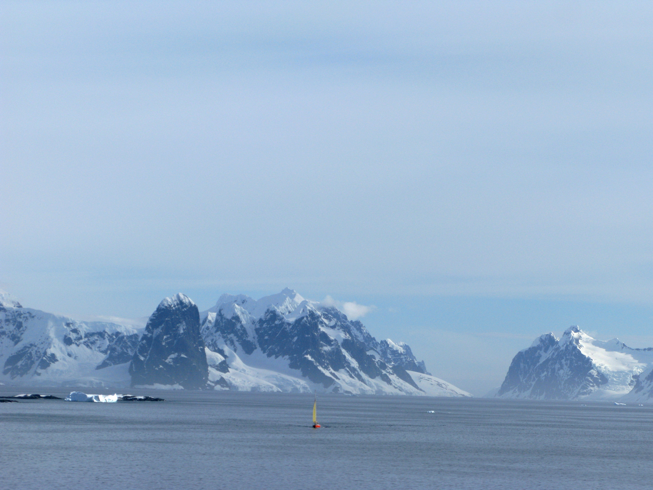
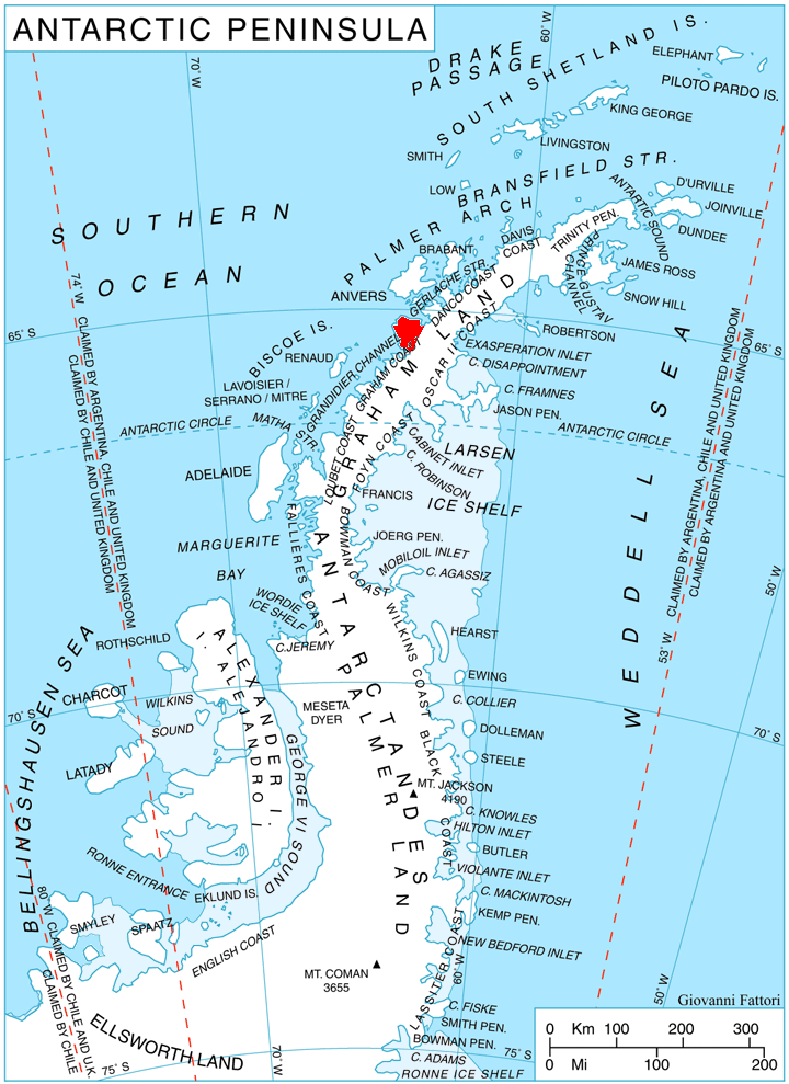
Cape Renard () is a cape forming the south side of the entrance to
Antarctic Digital Database (ADD).
Scale 1:250000 topographic map of Antarctica. Scientific Committee on Antarctic Research (SCAR). Since 1993, regularly upgraded and updated.
Cape Renard.
SCAR
 Renard
Danco Coast
Graham Coast
Lighthouses in Antarctica
{{DancoCoast-geo-stub
Flandres Bay Flandres Bay is a large bay lying between Cape Renard and Cape Willems, along the west coast of Graham Land, Antarctica. It was explored in 1898 by the Belgian Antarctic Expedition under Gerlache, who named it, probably after the historical area of ...
and separating the Danco and Graham Coast
Graham Coast is the portion of the west coast of Graham Land in Antarctic Peninsula, extending 172 km between Cape Bellue to the southwest and Cape Renard to the northeast.
The coast is named after Sir James Graham, First Lord of the Admir ...
s on the west coast of Antarctic Peninsula
The Antarctic Peninsula, known as O'Higgins Land in Chile and Tierra de San Martín in Argentina, and originally as Graham Land in the United Kingdom and the Palmer Peninsula in the United States, is the northernmost part of mainland Antarctic ...
. Situated on the minor Renard Island just off the north extremity of Kyiv Peninsula
Kyiv Peninsula (, ) is the predominantly ice-covered, oval shaped peninsula projecting 35 km in northwest direction from the west side of Graham Land, Antarctic Peninsula. It is bounded by Flandres Bay to the northeast and Beascochea Bay to ...
, and surmounted by Una's Peaks. Discovered in 1898 by the Belgian Antarctic Expedition
The Belgian Antarctic Expedition of 1897–1899 was the first expedition to winter in the Antarctic region. Led by Adrien de Gerlache de Gomery aboard the RV ''Belgica'', it was the first Belgian Antarctic expedition and is considered the first ...
under Gerlache and named by him for Professor A. Renard, a member of the Belgica Commission and of the Belgian Royal Academy
Belgian may refer to:
* Something of, or related to, Belgium
* Belgians, people from Belgium or of Belgian descent
* Languages of Belgium, languages spoken in Belgium, such as Dutch, French, and German
*Ancient Belgian language, an extinct language ...
.
Azufre Point Azufre Point () is a headland lying southeast of Cape Renard on the south side of Flandres Bay, on the west coast of Graham Land. It was first charted by the Belgian Antarctic Expedition under Adrien de Gerlache, 1897–99, and later charted ...
lies about 3 miles (5 km) southeast.
Maps
Antarctic Digital Database (ADD).
Scale 1:250000 topographic map of Antarctica. Scientific Committee on Antarctic Research (SCAR). Since 1993, regularly upgraded and updated.
See also
*List of lighthouses in Antarctica
This is a list of lighthouses in Antarctica.
Lighthouses
See also
* Lists of lighthouses and lightvessels
References
External links
*
{{Lighthouses
Antarctica
Antarctica () is Earth's southernmost and least-populated contin ...
References
Cape Renard.
SCAR
Composite Gazetteer of Antarctica
The Composite Gazetteer of Antarctica (CGA) of the Scientific Committee on Antarctic Research (SCAR) is the authoritative international gazetteer containing all Antarctic toponyms published in national gazetteers, plus basic information about ...
