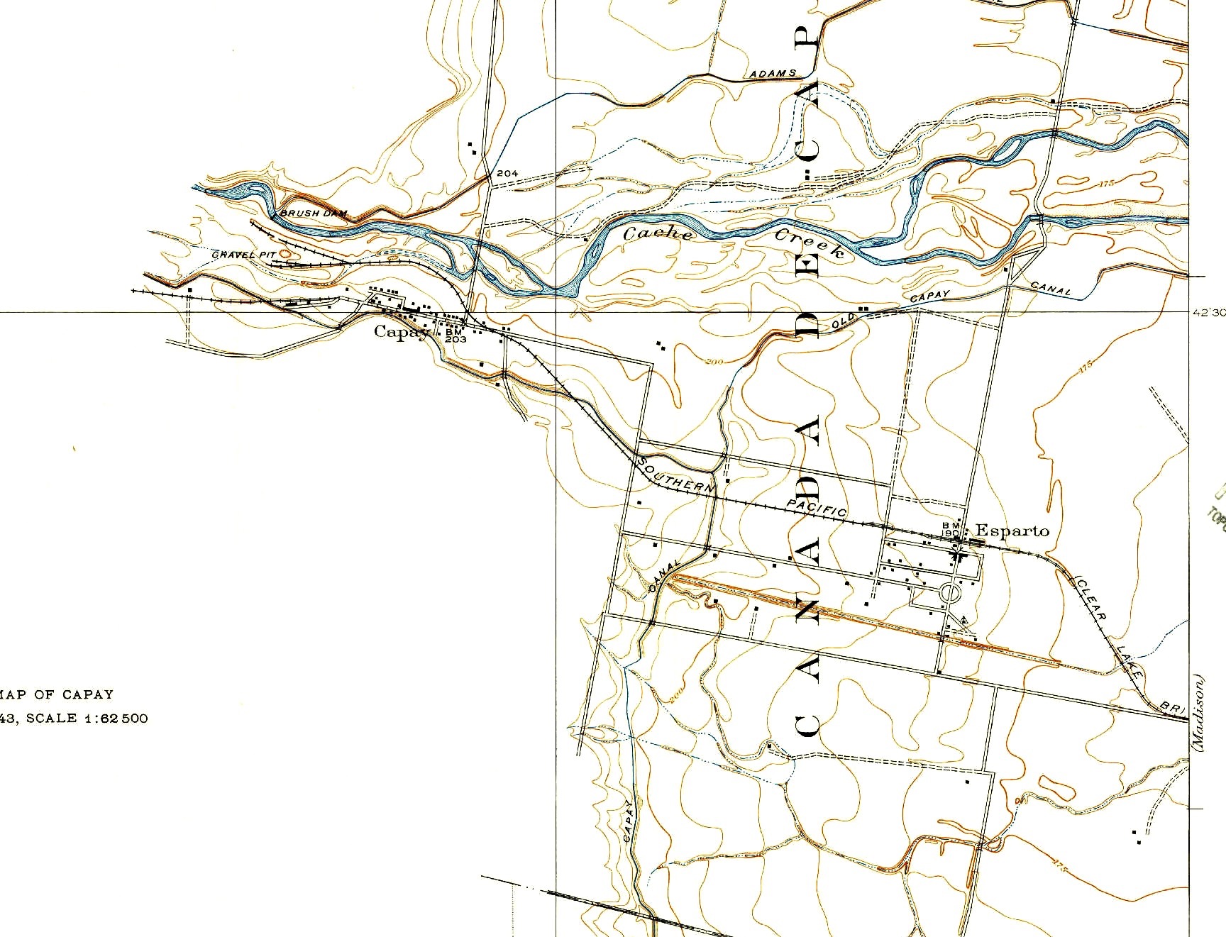
Capay, California on:
[Wikipedia]
[Google]
[Amazon]
Capay (
 Capay is located on the Mexican land grant Rancho Cañada de Capay. Capay was originally named Munchville after one of the first white settlers, a man named Munch, who built a house on the Cache Creek at the site in 1857. Mr. Empyre and Mr. Munch built a two-story building in the area. The town acquired the name Langville after John A. Lang. In 1870, Lang operated a hotel and owned a brick yard and a store. Langville grew enough to have a town plat filed on January 1, 1875, which renamed the town as Capay.
A post office opened in Capay in 1868.
Climate Summary for Capay, California
/ref>
Wintun
The Wintun are members of several related Native American peoples of Northern California, including the Wintu (northern), Nomlaki (central), and Patwin (southern).Pritzker, 152unincorporated community
An unincorporated area is a parcel of land that is not governed by a local general-purpose municipal corporation. (At p. 178.) They may be governed or serviced by an encompassing unit (such as a county) or another branch of the state (such as th ...
in Yolo County
Yolo County (; Wintun: ''Yo-loy''), officially the County of Yolo, is a county located in the northern portion of the U.S. state of California. Yolo County was one of the original counties of California, created in 1850 at the time of statehood ...
, California
California () is a U.S. state, state in the Western United States that lies on the West Coast of the United States, Pacific Coast. It borders Oregon to the north, Nevada and Arizona to the east, and shares Mexico–United States border, an ...
. It is located on Cache Creek west-northwest of Esparto
Esparto, halfah grass, or esparto grass is a fiber produced from two species of perennial grasses of north Africa, Spain and Portugal. It is used for crafts, such as cords, basketry, and espadrilles. '' Stipa tenacissima'' and '' Lygeum spar ...
, in the Capay Valley
Capay Valley is a mostly rural valley northwest of Sacramento in Yolo County, California, United States. It lies east of Blue Ridge and west of the Capay Hills.
Geography
Cache Creek flows through the valley.
California State Route 16 crosse ...
, in the northwestern part of the county. Capay's ZIP Code is 95607 and its area code 530
Area codes 530 and 837 are telephone area codes in the North American Numbering Plan (NANP) in northeastern and Northern California. 530 was created in 1997 in an area code split of 916 and 837 was added to the same numbering plan area as an ov ...
. It lies at an elevation of 210 feet (64 m).
History
 Capay is located on the Mexican land grant Rancho Cañada de Capay. Capay was originally named Munchville after one of the first white settlers, a man named Munch, who built a house on the Cache Creek at the site in 1857. Mr. Empyre and Mr. Munch built a two-story building in the area. The town acquired the name Langville after John A. Lang. In 1870, Lang operated a hotel and owned a brick yard and a store. Langville grew enough to have a town plat filed on January 1, 1875, which renamed the town as Capay.
A post office opened in Capay in 1868.
Climate
This region experiences hot, dry summers and cool, wet winters. According to theKöppen Climate Classification
The Köppen climate classification divides Earth climates into five main climate groups, with each group being divided based on patterns of seasonal precipitation and temperature. The five main groups are ''A'' (tropical), ''B'' (arid), ''C'' (te ...
system, Capay has a typical Mediterranean climate
A Mediterranean climate ( ), also called a dry summer climate, described by Köppen and Trewartha as ''Cs'', is a temperate climate type that occurs in the lower mid-latitudes (normally 30 to 44 north and south latitude). Such climates typic ...
, abbreviated "Csa" on climate maps./ref>
References
Unincorporated communities in California Unincorporated communities in Yolo County, California Unincorporated communities in the Sacramento metropolitan area Populated places established in 1857 1857 establishments in California {{YoloCountyCA-geo-stub