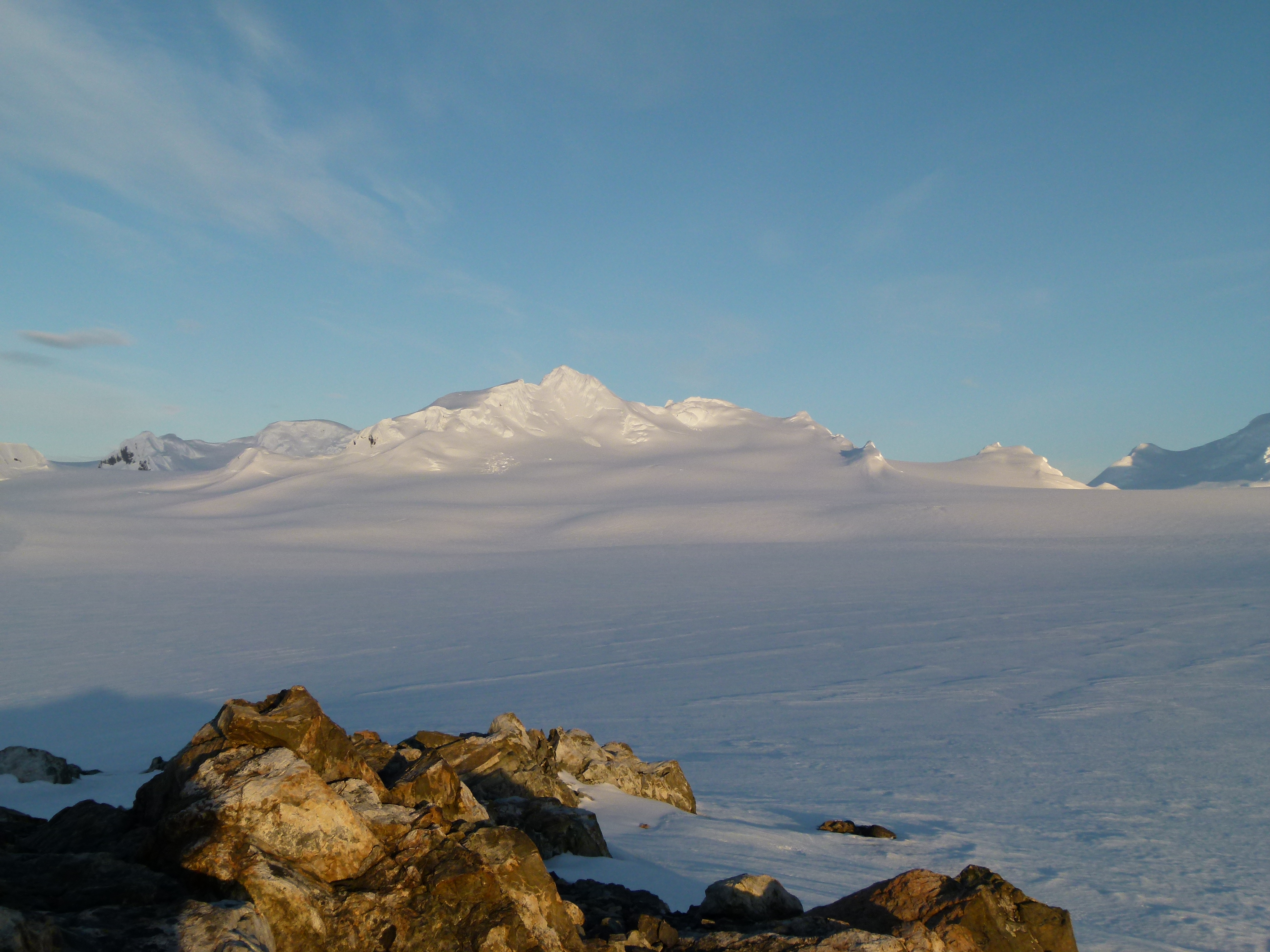
Burdick Peak on:
[Wikipedia]
[Google]
[Amazon]

 Burdick Peak is the summit of

Isla Livingston: Península Hurd.
Mapa topográfico de escala 1:25000. Madrid: Servicio Geográfico del Ejército, 1991. (Map reproduced on p. 16 of the linked work) * L.L. Ivanov et al. Antarctica: Livingston Island and Greenwich Island, South Shetland Islands. Scale 1:100000 topographic map. Sofia: Antarctic Place-names Commission of Bulgaria, 2005. * L.L. Ivanov
Antarctica: Livingston Island and Greenwich, Robert, Snow and Smith Islands
Scale 1:120000 topographic map. Troyan: Manfred Wörner Foundation, 2009.
Antarctic Digital Database (ADD).
Scale 1:250000 topographic map of Antarctica. Scientific Committee on Antarctic Research (SCAR). Since 1993, regularly upgraded and updated. * L.L. Ivanov. Antarctica: Livingston Island and Smith Island. Scale 1:100000 topographic map. Manfred Wörner Foundation, 2017. * A. Kamburov and L. Ivanov. Bowles Ridge and Central Tangra Mountains: Livingston Island, Antarctica. Scale 1:25000 map. Sofia: Manfred Wörner Foundation, 2023.

 Burdick Peak is the summit of
 Burdick Ridge
Burdick Ridge is a ridge rising to an elevation of on Livingston Island in the South Shetland Islands. Extending for between Orpheus Gate in the southeast and Rezen Saddle in the northwest, it is bounded by Perunika Glacier to the northeast ...
rising to 773 m southwest of Mount Bowles
Mount Bowles is an ice-covered mountain high, the summit of Bowles Ridge in the central part of eastern Livingston Island in the South Shetland Islands, Antarctica. It is situated south of Vidin Heights and north of Mount Friesland, Tangra Mount ...
on Livingston Island
Livingston Island (Russian name ''Smolensk'', ) is an Antarctic island in the Southern Ocean, part of the South Shetland Islands, South Shetlands Archipelago, a group of List of Antarctic and subantarctic islands, Antarctic islands north of the ...
in the South Shetland Islands
The South Shetland Islands are a group of List of Antarctic and subantarctic islands, Antarctic islands located in the Drake Passage with a total area of . They lie about north of the Antarctic Peninsula, and between southwest of the n ...
, Antarctica
Antarctica () is Earth's southernmost and least-populated continent. Situated almost entirely south of the Antarctic Circle and surrounded by the Southern Ocean (also known as the Antarctic Ocean), it contains the geographic South Pole. ...
. It was named by the UK Antarctic Place-names Committee
The UK Antarctic Place-Names Committee (or UK-APC) is a United Kingdom government committee, part of the Foreign and Commonwealth Office, responsible for recommending names of geographical locations within the British Antarctic Territory (BAT) an ...
in 1958 for Christopher Burdick, Master of the American schooner ''Huntress of Nantucket'', who visited the South Shetland Islands in 1820–21.
Maps
Isla Livingston: Península Hurd.
Mapa topográfico de escala 1:25000. Madrid: Servicio Geográfico del Ejército, 1991. (Map reproduced on p. 16 of the linked work) * L.L. Ivanov et al. Antarctica: Livingston Island and Greenwich Island, South Shetland Islands. Scale 1:100000 topographic map. Sofia: Antarctic Place-names Commission of Bulgaria, 2005. * L.L. Ivanov
Antarctica: Livingston Island and Greenwich, Robert, Snow and Smith Islands
Scale 1:120000 topographic map. Troyan: Manfred Wörner Foundation, 2009.
Antarctic Digital Database (ADD).
Scale 1:250000 topographic map of Antarctica. Scientific Committee on Antarctic Research (SCAR). Since 1993, regularly upgraded and updated. * L.L. Ivanov. Antarctica: Livingston Island and Smith Island. Scale 1:100000 topographic map. Manfred Wörner Foundation, 2017. * A. Kamburov and L. Ivanov. Bowles Ridge and Central Tangra Mountains: Livingston Island, Antarctica. Scale 1:25000 map. Sofia: Manfred Wörner Foundation, 2023.
References
* Mountains of Livingston Island {{LivingstonIsland-geo-stub