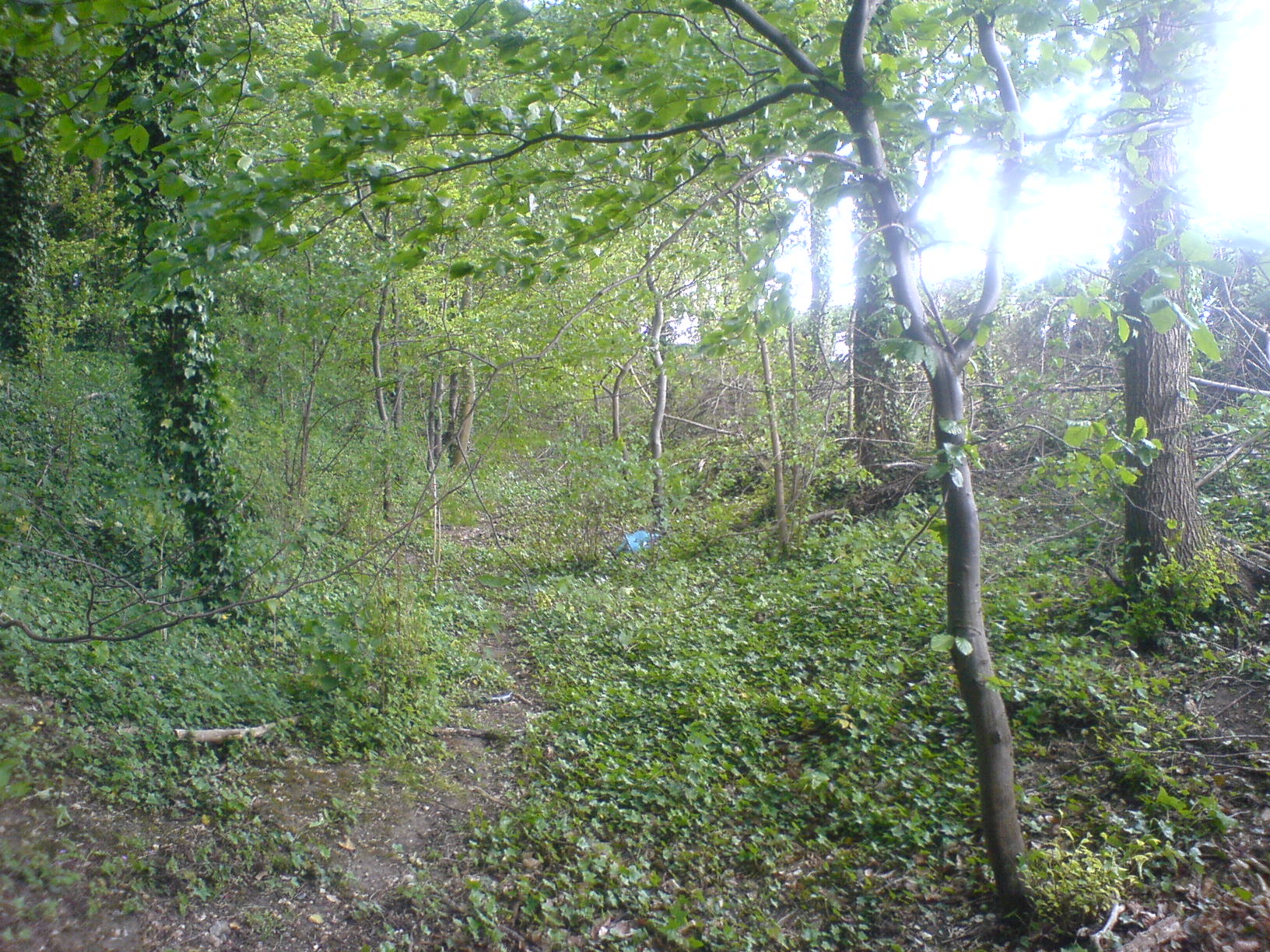
Brent Ditch on:
[Wikipedia]
[Google]
[Amazon]
 Brent Ditch is generally assumed to be an Anglo-Saxon earthwork in Southern
 Brent Ditch is generally assumed to be an Anglo-Saxon earthwork in Southern
 Cambridgeshire
Cambridgeshire (abbreviated Cambs.) is a Ceremonial counties of England, ceremonial county in the East of England and East Anglia. It is bordered by Lincolnshire to the north, Norfolk to the north-east, Suffolk to the east, Essex and Hertfor ...
, England, built around the 6th and 7th centuries AD. However most of its structure has been lost over time. The site is scheduled as an ancient monument
An ancient monument can refer to any early or historical manmade structure or architecture. Certain ancient monuments are of cultural importance for nations and become symbols of international recognition, including the Baalbek, ruins of Baalbek ...
by Historic England
Historic England (officially the Historic Buildings and Monuments Commission for England) is an executive non-departmental public body of the British Government sponsored by the Department for Culture, Media and Sport. It is tasked with prot ...
.
2 km (~1mile) in length it runs from Pampisford
Pampisford is a village, south of Cambridge, on the A505 road near Sawston, Cambridgeshire, England.
The remaining section of a defensive ditch, dug to close the gap between forest and marsh, is known as Brent Ditch, which runs between Abing ...
Hall in the North-West to Abington in the South-East. For most of its length it is wooded and it is on private land and so difficult to access. It was built as a defensive structure to control the flow of trade along ancient routes.
In modern times it is bisected by the routes of the old and new A11. It is from the old single carriageway road (grid reference TL514474) that the structure is best viewed as a low ditch in a wooded area beside the road. The earth works at this point are 2 to 3 m high.
The dyke is one of the smaller earthworks of several in south Cambridgeshire designed to control movement along the ancient Roman roads. The others are Devil's Dyke, Fleam Dyke
Fleam Dyke is a linear earthwork between Fulbourn and Balsham in Cambridgeshire, initiated some time between AD 330 and AD 510. It is three miles long and seven metres high from ditch to bank, and its ditch faces westwards, implying invading Saxon ...
and Bran Ditch
Bran Ditch or Heydon Ditch is generally assumed to be an Anglo-Saxon earthwork in southern Cambridgeshire, England.
Most of the ditch has been lost to agriculture over time, but its line its marked throughout by both hedgerow and the route of th ...
.
Black Ditches, Cavenham
Black Ditches is an earthwork close to the village of Cavenham of Suffolk, and part of it is a biological Site of Special Scientific Interest (SSSI). The earthwork is 4.5 miles long between the River Lark at Lackford and the Icknield Way. It is ...
is a fifth earthwork guarding the ancient Icknield Way and can be found in Suffolk
Suffolk ( ) is a ceremonial county in the East of England and East Anglia. It is bordered by Norfolk to the north, the North Sea to the east, Essex to the south, and Cambridgeshire to the west. Ipswich is the largest settlement and the county ...
north west of Bury St Edmunds
Bury St Edmunds (), commonly referred to locally as ''Bury,'' is a cathedral as well as market town and civil parish in the West Suffolk District, West Suffolk district, in the county of Suffolk, England.OS Explorer map 211: Bury St. Edmunds an ...
References
*Fox.C (1923) The archaeology of the Cambridge region: a topographical study of the Bronze, Early Iron, Roman and Anglo-Saxon Ages, with an introductory note on the Neolithic Age. Cambridge: Cambridge University Press {{Authority control History of Cambridgeshire Scheduled monuments in Cambridgeshire Linear earthworks