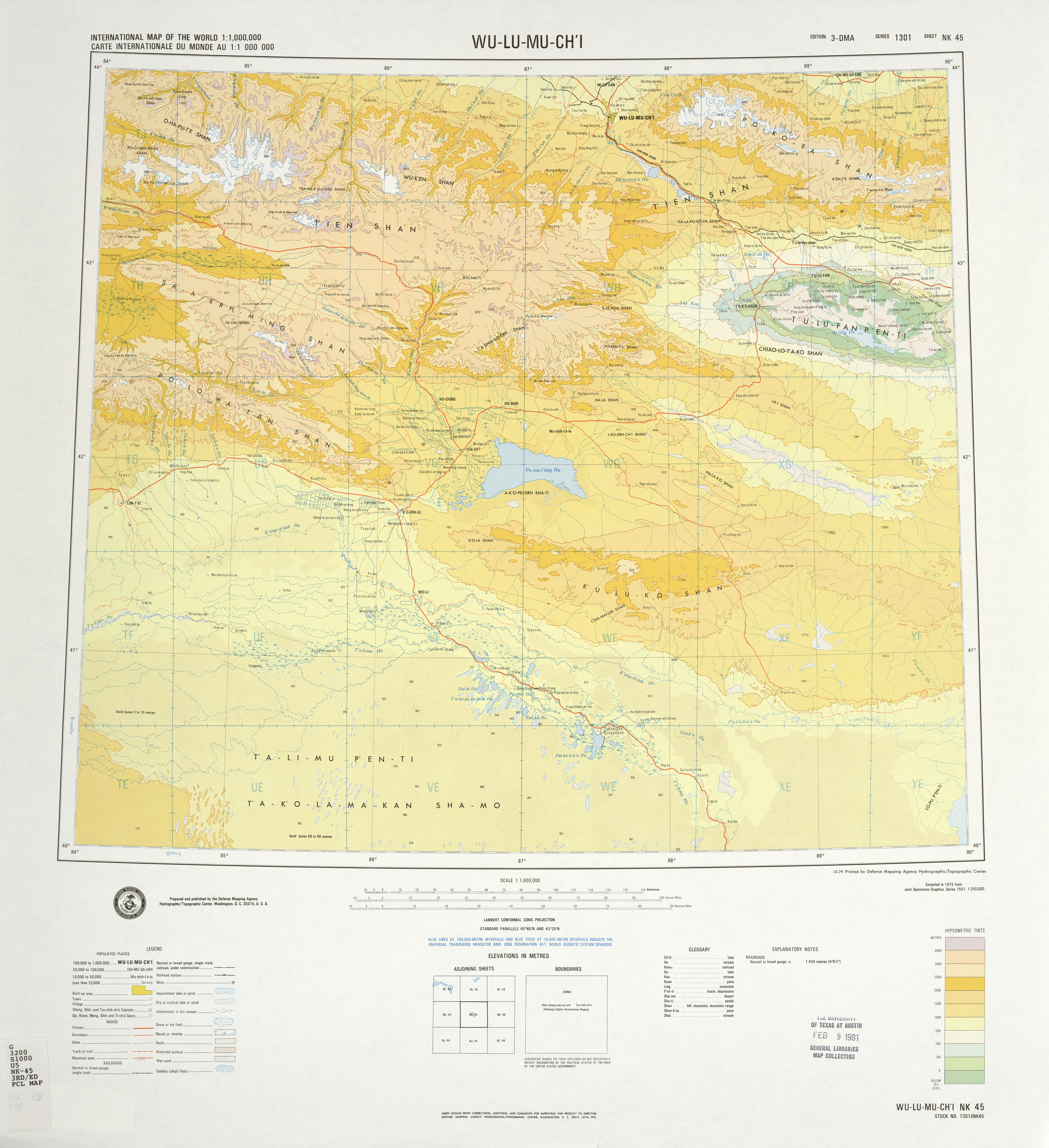
Bogda Shan on:
[Wikipedia]
[Google]
[Amazon]
The Bogda Shan (; zh, s=蜊壽シ霎セ螻ア, t=蜊壽シ驕泌アア, p=Bテウgテゥdテ。 shト]) range is part of the Eastern 

Tian Shan
The Tian Shan, also known as the Tengri Tagh or Tengir-Too, meaning the "Mountains of God/Heaven", is a large system of mountain ranges in Central Asia. The highest peak is Jengish Chokusu at high and located in Kyrgyzstan. Its lowest point is ...
mountains and located in Xinjiang
Xinjiang,; , SASM/GNC romanization, SASM/GNC: Chinese postal romanization, previously romanized as Sinkiang, officially the Xinjiang Uygur Autonomous Region (XUAR), is an Autonomous regions of China, autonomous region of the China, People' ...
, some 60 km east of テ徨テシmqi
テ徨テシmqi, , is the capital of the Xinjiang, Xinjiang Uyghur Autonomous Region in Northwestern China. With a census population of 4 million in 2020, テ徨テシmqi is the second-largest city in China's northwestern interior after Xi'an, also the ...
. The topography of the area gradually increases from north to south. The elevation is between 1380 and 5445 m, with the largest relative relief up to 4065 m. The highest elevation is Bogda Peak, at 5,445 m.
Administratively, the range forms the border between Dabancheng District to the south and Fukang City and Jimsar County to the north. In all three units, irrigated agriculture is based on the water flowing in streams that starts in the Bogda Shan.


References
Biosphere reserves of China Mountain ranges of Xinjiang Mountain ranges of the Tian Shan {{Xinjiang-geo-stub