|
Water Supply And Sanitation In Iran
Water supply and sanitation in Iran is overseen by the Ministry of Energy, which sets policy and supervises the provision of services. The renewable water per capita in 2025 for each Iranian has decreased to less than 500 cubic meters per year, whereas this figure was previously 1,500 cubic meters. Access The sector is characterized by a wide discrepancy in coverage of water and sewerage services, as well as between urban and rural areas. The Joint Monitoring Programme for Water Supply and Sanitation of the WHO and UNICEF, which monitors access figures based on national surveys and censuses, estimated access in Iran from the results of the censuses of 1996, 2006, and 2011 as well as a 1995 Multiple Indicator Cluster Survey. According its estimates, in 2011 access to an improved water supply was 98% in urban areas where more than two thirds of Iranians live. It was 90% in rural areas (87% house connections). Access to sewerage in urban areas was estimated at 19% in the late ... [...More Info...] [...Related Items...] OR: [Wikipedia] [Google] [Baidu] |
Hamun
A hamun (or hamoun) ( ''hāmūn'') refers to inland desert lakes or marshlands, formed as natural seasonal reservoirs in areas adjoining the Helmand basin, found across eastern Iran, southern Afghanistan and western Pakistan. They form a critical link in the wildlife of the area, aquatic as well as avian and terrestrial. The better-known hamuns include: * Hamun-e Helmand, Afghanistan and Iran ** Hamun Lake, Iran and Afghanistan * Hamun-e Jaz Murian, Iran *Hamun-e Mashkel or Mashkid, Balochistan mainly in Pakistan and border. *Hamun-e Puzak, Afghanistan *Hamun-e Saberi in Sistan Sistān (), also known as Sakastān (, , current name: Zabol) and Sijistan (), is a historical region in south-eastern Iran and extending across the borders of present-day south-western Afghanistan, and south-western Pakistan. Mostly correspond ..., straddling Iran-Afghanistan border *Hamun Zeheh, Goad-i Zereh or Godzareh Depression, Afghanistan References Geography of Central Asia We ... [...More Info...] [...Related Items...] OR: [Wikipedia] [Google] [Baidu] |
Tehran
Tehran (; , ''Tehrân'') is the capital and largest city of Iran. It is the capital of Tehran province, and the administrative center for Tehran County and its Central District (Tehran County), Central District. With a population of around 9.8 million in the city as of 2025, and 16.8 million in the metropolitan area, Tehran is the List of largest cities of Iran, most populous city in Iran and Western Asia, the Largest metropolitan areas of the Middle East, second-largest metropolitan area in the Middle East after Cairo, and the 24th most populous metropolitan area in the world. Greater Tehran includes several municipalities, including, Karaj, Eslamshahr, Shahriar, Tehran province, Shahriar, Qods, Iran, Qods, Malard, Golestan, Tehran, Golestan, Pakdasht, Qarchak, Nasimshahr, Parand, Pardis, Andisheh and Fardis. In the classical antiquity, part of the territory of present-day Tehran was occupied by Rhages (now Ray, Iran, Ray), a prominent Medes, Median city almost entirely des ... [...More Info...] [...Related Items...] OR: [Wikipedia] [Google] [Baidu] |
Shazand Combined-cycle Power Plant
Shazand () is a city in the Central District of Shazand County, Markazi province, Iran Iran, officially the Islamic Republic of Iran (IRI) and also known as Persia, is a country in West Asia. It borders Iraq to the west, Turkey, Azerbaijan, and Armenia to the northwest, the Caspian Sea to the north, Turkmenistan to the nort ..., serving as capital of both the county and the district. Demographics Population At the time of the 2006 National Census, the city's population was 19,353 in 5,265 households. The following census in 2011 counted 21,156 people in 6,231 households. The 2016 census measured the population of the city as 21,181 people in 6,677 households. See also Notes References External links History of Shazand Cities in Markazi province Populated places in Shazand County {{Shazand-geo-stub ... [...More Info...] [...Related Items...] OR: [Wikipedia] [Google] [Baidu] |
Iranian Subsidy Reform Plan
The economy of Iran includes a lot of subsidies A subsidy, subvention or government incentive is a type of government expenditure for individuals and households, as well as businesses with the aim of stabilizing the economy. It ensures that individuals and households are viable by having acce .... Food items, such as flour and cooking oil, are subsidized, along with fuels such as gasoline. However cutting subsidies can cause civil unrest. The Iranian targeted subsidy plan (), also known as the subsidy reform plan, was passed by the Iranian Parliament in 2010. The Government of Iran, government described the subsidy plan as the "biggest surgery" to the Economy of Iran, nation's economy in half a century and "one of the most important undertakings in Economic history of Iran#After the 1979 revolution, Iran's recent economic history". The goal of the subsidy reform plan is to replace subsidies on food and Energy in Iran, energy (80% of total) with targeted social assistance, in ac ... [...More Info...] [...Related Items...] OR: [Wikipedia] [Google] [Baidu] |
Evaporation
Evaporation is a type of vaporization that occurs on the Interface (chemistry), surface of a liquid as it changes into the gas phase. A high concentration of the evaporating substance in the surrounding gas significantly slows down evaporation, such as when humidity affects rate of evaporation of water. When the molecules of the liquid collide, they transfer energy to each other based on how they collide. When a molecule near the surface absorbs enough energy to overcome the vapor pressure, it will escape and enter the surrounding air as a gas. When evaporation occurs, the energy removed from the vaporized liquid will reduce the temperature of the liquid, resulting in evaporative cooling. On average, only a fraction of the molecules in a liquid have enough heat energy to escape from the liquid. The evaporation will continue until an equilibrium is reached when the evaporation of the liquid is equal to its condensation. In an enclosed environment, a liquid will evaporate unt ... [...More Info...] [...Related Items...] OR: [Wikipedia] [Google] [Baidu] |
Agriculture In Iran
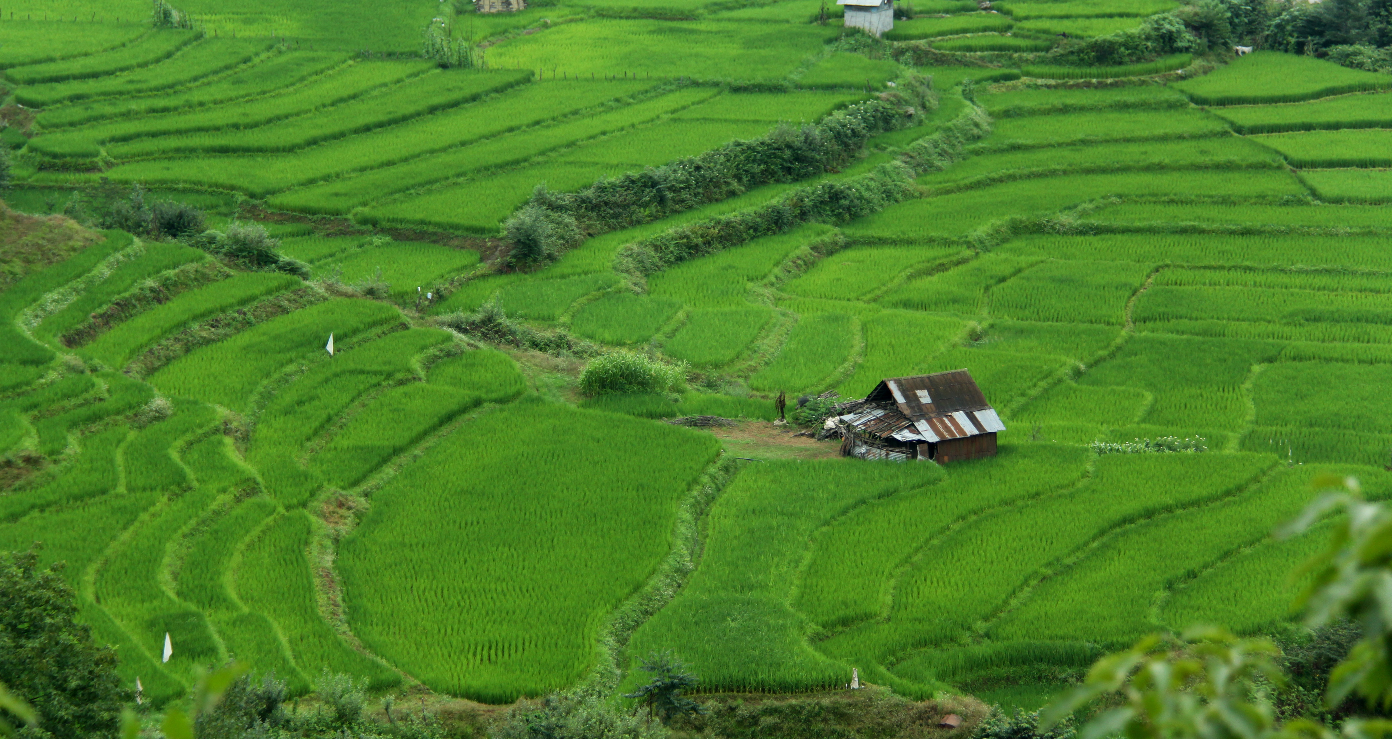
Agriculture in Iran is underdeveloped. While one-third of Iran's total surface area is suitable for farming, due to poor soil and inadequate water distribution, most of it is not cultivated. Less than one-third of the land planted with crops, orchards and vineyards is irrigated; the rest is devoted to dryland farming. The western and northwestern portions of the country have the most fertile soil. Iran's food security index stands at around 96 percent. 3% of the total land area is used for grazing and small-fodder production. Most of the grazing is done on semi-dry rangeland in mountain areas and areas surrounding the large deserts ("Dasht's") of Central Iran. 53 percent of Iran's land is non-agricultural terrain: * 39% of the country is covered by deserts, salt flats ("kavirs") and bare-rock mountains, not suited for agricultural purposes. * 7% of Iran's total surface is covered by woodlands. * 7% is covered by cities, towns, villages, industrial areas and roads. At the ... [...More Info...] [...Related Items...] OR: [Wikipedia] [Google] [Baidu] |
Azerbaijan
Azerbaijan, officially the Republic of Azerbaijan, is a Boundaries between the continents, transcontinental and landlocked country at the boundary of West Asia and Eastern Europe. It is a part of the South Caucasus region and is bounded by the Caspian Sea to the east, Russia's republic of Dagestan to the north, Georgia (country), Georgia to the northwest, Armenia and Turkey to the west, and Iran to the south. Baku is the capital and largest city. The territory of what is now Azerbaijan was ruled first by Caucasian Albania and later by various Persian empires. Until the 19th century, it remained part of Qajar Iran, but the Russo-Persian wars of Russo-Persian War (1804–1813), 1804–1813 and Russo-Persian War (1826–1828), 1826–1828 forced the Qajar Empire to cede its Caucasian territories to the Russian Empire; the treaties of Treaty of Gulistan, Gulistan in 1813 and Treaty of Turkmenchay, Turkmenchay in 1828 defined the border between Russia and Iran. The region north o ... [...More Info...] [...Related Items...] OR: [Wikipedia] [Google] [Baidu] |
Arax River
The Aras is a transboundary river in the Caucasus. It rises in eastern Turkey and flows along the borders between Turkey and Armenia, between Turkey and the Nakhchivan exclave of Azerbaijan, between Iran and both Azerbaijan and Armenia, and, finally, through Azerbaijan where it flows into the Kura river as a right tributary. It drains the south side of the Lesser Caucasus Mountains, while the Kura drains the north side of the Lesser Caucasus. The river's total length is and its watershed covers an area of . The Aras is one of the longest rivers in the Caucasus. Names In classical antiquity, the river was known to the Greeks as Araxes (). Its modern Armenian name is ''Arax'' or ''Araks'' (). Historically, it was called (, in modern pronunciation) by Armenians and its Old Georgian name is ''Rakhsi'' (). In Azerbaijani, the river's name is ''Araz''. In Persian, Kurdish and Turkish its name is (''Aras''). Geography The Aras is supported by the Kocagün stream, Dallı s ... [...More Info...] [...Related Items...] OR: [Wikipedia] [Google] [Baidu] |
Helmand River
The Helmand river (Pashto/Dari: ; Ancient Greek: Ἐτύμανδρος, ''Etýmandros''; Latin: '), also spelled Helmend, or Helmund, Hirmand, is the longest river in Afghanistan and the primary watershed for the endorheic Sistan Basin. It originates in the Sanglakh Range of the Hindu Kush mountains in the northeastern part of Maidan Wardak Province, where it is separated from the watershed of the Kabul River by the Unai Pass. The Helmand feeds into the Hamun Lake on the border of Afghanistan and Iran. Etymology The name comes from the Avestan ''Haētumant'', literally "dammed, having a dam", which referred to the Helmand River and the irrigated areas around it. The word Haetumant is cognate with Sanskrit Setumatī meaning "one which has a dam." Geography The Helmand stretches for . It rises in the northeastern part of Maidan Wardak Province in the Hindu Kush mountains, about 40 km west of Kabul (), flowing southwestward through Daykundi Province and Uruzga ... [...More Info...] [...Related Items...] OR: [Wikipedia] [Google] [Baidu] |
Groundwater Recharge
Groundwater recharge or deep drainage or deep percolation is a hydrologic process, where water moves downward from surface water to groundwater. Recharge is the primary method through which water enters an aquifer. This process usually occurs in the vadose zone below plant roots and is often expressed as a flux to the water table surface. Groundwater recharge also encompasses water moving away from the water table farther into the saturated zone. Recharge occurs both naturally (through the water cycle) and through anthropogenic processes (i.e., "artificial groundwater recharge"), where rainwater and/or reclaimed water is routed to the subsurface. The most common methods to estimate recharge rates are: chloride mass balance (CMB); soil physics methods; environmental and isotopic tracers; groundwater-level fluctuation methods; water balance (WB) methods (including groundwater models (GMs)); and the estimation of baseflow (BF) to rivers. Text was copied from this source, which is ... [...More Info...] [...Related Items...] OR: [Wikipedia] [Google] [Baidu] |
Aquifer
An aquifer is an underground layer of water-bearing material, consisting of permeability (Earth sciences), permeable or fractured rock, or of unconsolidated materials (gravel, sand, or silt). Aquifers vary greatly in their characteristics. The study of water flow in aquifers and the characterization of aquifers is called ''hydrogeology''. Related concepts include aquitard, a bed (geology), bed of low permeability along an aquifer, and aquiclude (or ''aquifuge''), a solid and impermeable region underlying or overlying an aquifer, the pressure of which could lead to the formation of a confined aquifer. Aquifers can be classified as saturated versus unsaturated; aquifers versus aquitards; confined versus unconfined; isotropic versus anisotropic; porous, karst, or fractured; and transboundary aquifer. Groundwater from aquifers can be sustainably harvested by humans through the use of qanats leading to a well. This groundwater is a major source of fresh water for many regions, althoug ... [...More Info...] [...Related Items...] OR: [Wikipedia] [Google] [Baidu] |


