|
Special Flood Hazard Area
A Special Flood Hazard Area (SFHA) is an area identified by the United States Federal Emergency Management Agency (FEMA) as an area with a special flood or mudflow, and/or flood related erosion hazard, as shown on a flood hazard boundary map or flood insurance rate map A flood insurance rate map (FIRM) is an official map of a community within the United States that displays the floodplains, more explicitly special hazard areas and risk premium zones, as delineated by the Federal Emergency Management Agency (FEMA). .... Areas within the SFHA are designated on the flood insurance rate map as Zone A, AO, A1-A30, AE, A99, AH, AR, AR/A, AR/AE, AR/AH, AR/AO, AR/A1-A30, V1-V30 or V. Land areas that are at high risk for flooding are called special flood hazard areas (SFHAs), or floodplains. These areas are indicated on flood insurance rate maps (FIRMs). In high-risk areas, there is at least a 1 in 4 chance of flooding during a 30-year mortgage. References Flood insurance Federal Emerg ... [...More Info...] [...Related Items...] OR: [Wikipedia] [Google] [Baidu] |
Federal Emergency Management Agency
The Federal Emergency Management Agency (FEMA) is an agency of the United States Department of Homeland Security (DHS), initially created under President Jimmy Carter by Presidential Reorganization Plan No. 3 of 1978 and implemented by two Executive order (United States), Executive Orders on April 1, 1979. The agency's primary purpose is to coordinate the response to a disaster that has occurred in the United States and that overwhelms the resources of local and U.S. state, state authorities. The governor of the state in which the disaster occurs must declare a state of emergency and formally request from the President of the United States, president that FEMA and the Federal government of the United States, federal government respond to the disaster. The only exception to the state's gubernatorial declaration requirement occurs when an emergency or disaster takes place on federal property or to a federal asset—for example, the 1995 Oklahoma City bombing, bombing of the Alfred ... [...More Info...] [...Related Items...] OR: [Wikipedia] [Google] [Baidu] |
Mudflow
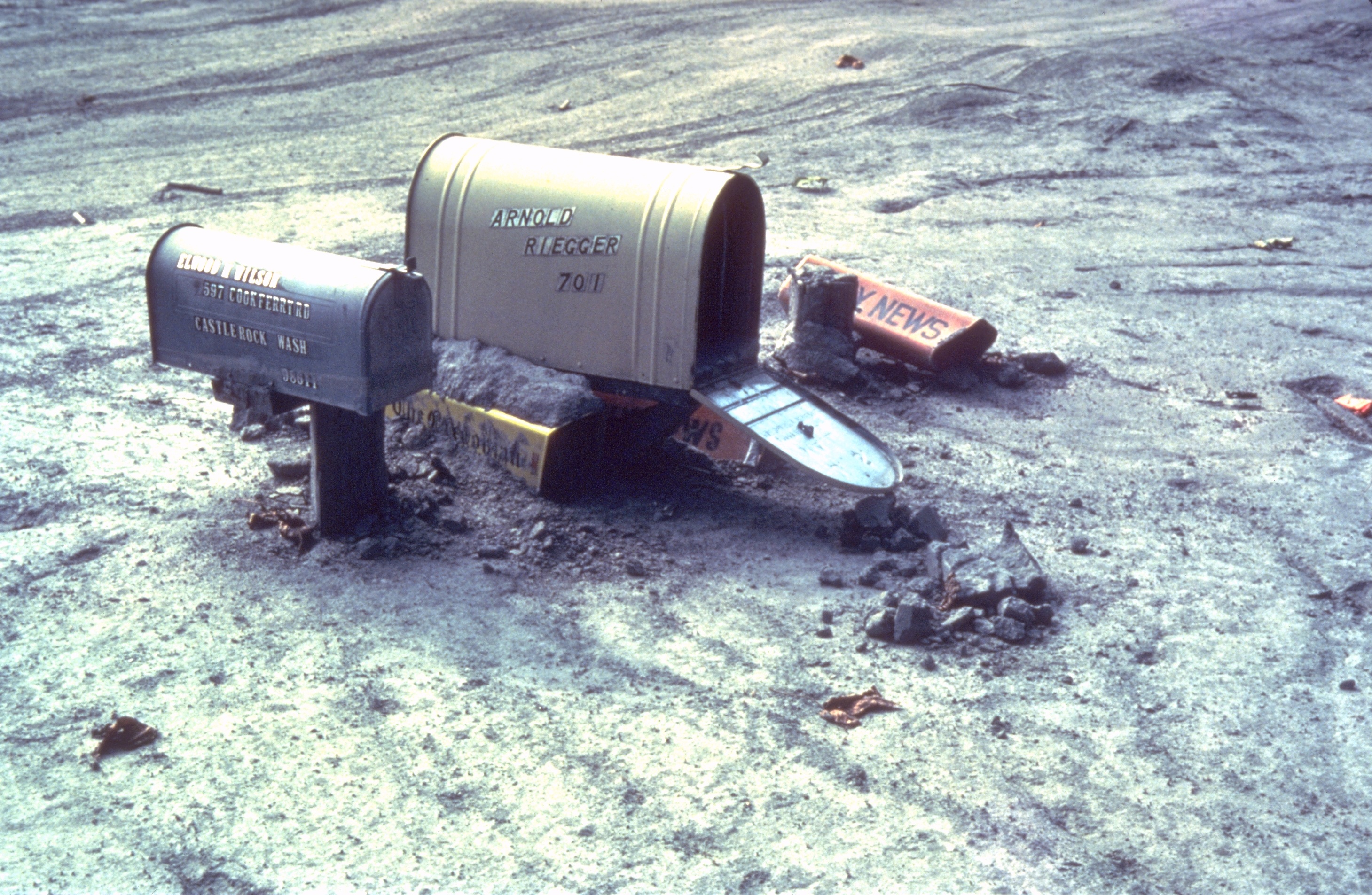
A mudflow, also known as mudslide or mud flow, is a form of mass wasting involving fast-moving flow of debris and dirt that has become liquified by the addition of water. Such flows can move at speeds ranging from 3 meters/minute to 5 meters/second. Mudflows contain a significant proportion of clay, which makes them more fluid than debris flows, allowing them to travel farther and across lower slope angles. Both types of flow are generally mixtures of particles with a wide range of sizes, which typically become sorted by size upon deposition. Mudflows are often called mudslips, a term applied indiscriminately by the mass media to a variety of mass wasting events. Mudflows often start as slides, becoming flows as water is entrained along the flow path; such events are often called mud failures. Other types of mudflows include lahars (involving fine-grained pyroclastic deposits on the flanks of volcanoes) and jökulhlaups (outbursts from under glaciers or icecaps). A statutory ... [...More Info...] [...Related Items...] OR: [Wikipedia] [Google] [Baidu] |
Flood Insurance Rate Map
A flood insurance rate map (FIRM) is an official map of a community within the United States that displays the floodplains, more explicitly special hazard areas and risk premium zones, as delineated by the Federal Emergency Management Agency (FEMA). The term is used mainly in the United States but similar maps exist in many other countries, such as Australia. Uses FIRMs display areas that fall within the 100-year flood boundary. Areas that fall within the boundary are called ''special flood hazard areas'' (SFHAs) and they are further divided into insurance risk zones. The term 100-year flood indicates that the area has a one-percent chance of flooding in any given year, not that a flood will occur every 100 years. Such maps are used in town planning, in the insurance industry, and by individuals who want to avoid moving into a home at risk of flooding or to know how to protect their property. FIRMs are used to set rates of insurance against risk of flood and whether buildings are ... [...More Info...] [...Related Items...] OR: [Wikipedia] [Google] [Baidu] |
Flood Insurance
Flood insurance is the specific insurance coverage issued against property loss from flooding. To determine risk factors for specific properties, insurers will often refer to topographical maps that denote lowlands, floodplains and other areas that are susceptible to flooding. In the United States Nationwide, only 20 percent of American homes at risk for floods are covered by flood insurance. Most private insurers do not insure against the peril of flood due to the prevalence of adverse selection, which is the purchase of insurance by persons most affected by the specific peril of flood. In traditional insurance, insurers use the economic law of large numbers to charge a relatively small fee to large numbers of people in order to pay the claims of the small numbers of claimants who have suffered a loss. Some insurers provide privately written primary flood insurance for high-value residential properties, and for low-value and high value buildings, including through The Natural C ... [...More Info...] [...Related Items...] OR: [Wikipedia] [Google] [Baidu] |


