|
Glaciers Of Norway
These are the largest glaciers on mainland Norway.The largest glaciers in Norway (page 51, Accessed on July 29, 2014) However, the 18 largest glaciers in the are on , including the second largest in Europe, on |
Glacier Svartisen Engabreen
A glacier (; or ) is a persistent body of dense ice, a form of rock, that is constantly moving downhill under its own weight. A glacier forms where the accumulation of snow exceeds its Ablation#Glaciology, ablation over many years, often centuries. It acquires distinguishing features, such as crevasses and seracs, as it slowly flows and deforms under stresses induced by its weight. As it moves, it abrades rock and debris from its substrate to create landforms such as cirques, moraines, or fjords. Although a glacier may flow into a body of water, it forms only on landβÄ€Glacier, N., Pronunciation.βÄù Oxford English Dictionary, Oxford University Press, Oxford UP, June 2024, https://doi.org/10.1093/OED/7553486115. Accessed 25 Jan. 2025. and is distinct from the much thinner sea ice and lake ice that form on the surface of bodies of water. On Earth, 99% of glacial ice is contained within vast ice sheets (also known as "continental glaciers") in the polar regions, but glaciers may ... [...More Info...] [...Related Items...] OR: [Wikipedia] [Google] [Baidu] |
BlΟΞmannsisen
or () is the fifth-largest glacier in mainland Norway. It is located on the border of Fauske Municipality and SΟΗrfold Municipality in Nordland county, Norway—just west of the border with Sweden. Its highest point is above sea level and its lowest point is at an elevation of . Three outlet glaciers extend from the icecap. A small outlet spills over a subglacial ridge to the north damming an unnamed lake resulting in occasion outburst floods. To the east a large outlet extends towards the lake, Leirvatnet (SΟΗrfold), Leirvatnet. A further outlet descends steeply to the west. The western and northern outlets are heavily crevassed, as is the snout of the eastern glacier calving into Leirvatnet. The glacier also calves into lake BlΟΞmannsisvatnet, resulting in extensive crevasses in the glacier above that lake. Given the degree of crevassing at the margins, traversing the glacier can be dangerous, particularly in late spring or early summer when snow bridges may be weak. Bl ... [...More Info...] [...Related Items...] OR: [Wikipedia] [Google] [Baidu] |
Oppland
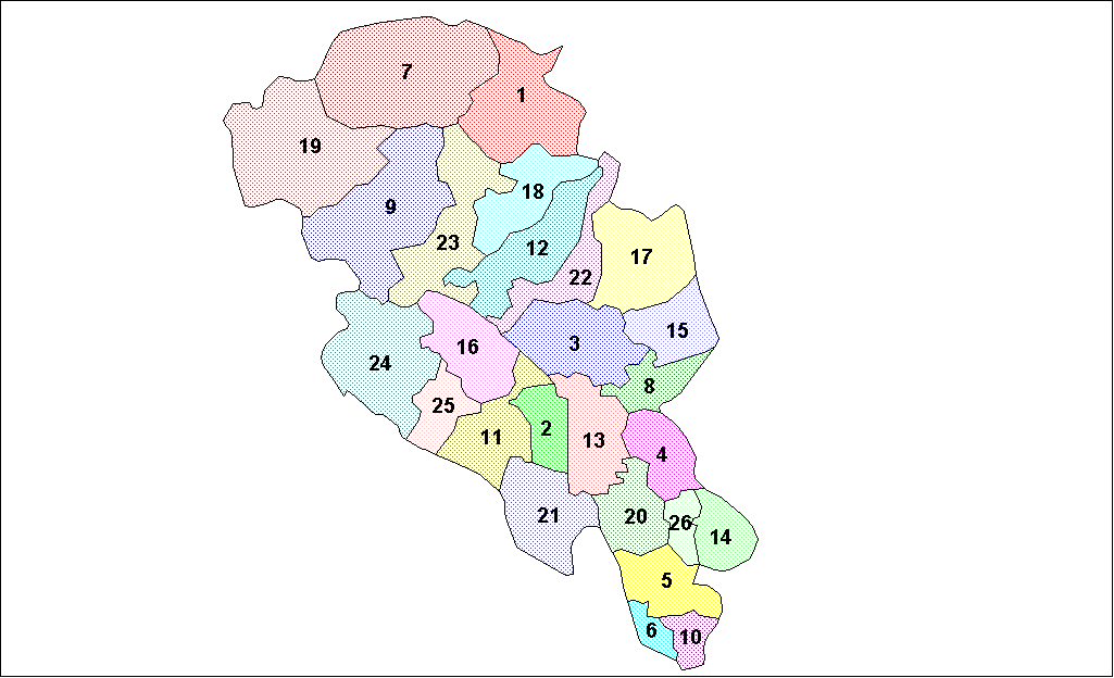
Oppland is a former county in Norway which existed from 1781 until its dissolution on 1 January 2020. The old Oppland county bordered the counties of TrΟΗndelag, MΟΗre og Romsdal, Sogn og Fjordane, Buskerud, Akershus, Oslo and Hedmark. The county administration was located in the town of Lillehammer. Merger On 1 January 2020, the neighboring counties of Oppland and Hedmark were merged to form the new Innlandet county. Both Oppland and Hedmark were the only landlocked counties of Norway, and the new Innlandet county is the only landlocked county in Norway. The two counties had historically been one county that was divided in 1781. Historically, the region was commonly known as " Opplandene". In 1781, the government split the area into two: Hedemarkens amt and Kristians amt (later renamed Hedmark and Oppland). In 2017, the government approved the merger of the two counties. There were several names debated, but the government settled on ''Innlandet''. Geography Oppland ext ... [...More Info...] [...Related Items...] OR: [Wikipedia] [Google] [Baidu] |
Gihtsejieg≈΄a
Gihtsejieg≈΄a is one of the largest glaciers in mainland Norway. It is located in Narvik Municipality in Nordland county, about southeast of the village of KjΟΗpsvik, on the border with Sweden. The name of the glacier comes from the Lule Sami language. The elevation of the glacier ranges from above sea level. The highest point of the glacier sits right below the summit of the tall BjΟΗrntoppen. See also *List of glaciers in Norway These are the largest glaciers on mainland Norway.The largest glaciers ... References Narvik Glaciers of Nordland {{Nordland-geo-stub ...[...More Info...] [...Related Items...] OR: [Wikipedia] [Google] [Baidu] |
Frostisen
or is a glacier in Narvik Municipality in Nordland county, Norway. It is one of the larger plateau glaciers in Norway. Frostisen covers an area of about , and its elevation ranges from above sea level. The glacier lies near the Skjomen fjord, a branch of the Ofotfjorden, just southwest of the Narvik (town), town of Narvik. The village of ElvegΟΞrd lies about east of the glacier. The lakes Geitvatnet, Isvatnet, Kjelvatnet (Ballangen), Kjelvatnet, Nordre Bukkevatnet and SΟΗre Bukkevatnet lie southwest of the glacier. See also *List of glaciers in Norway References Ballangen Narvik Glaciers of Nordland {{Nordland-geo-stub ... [...More Info...] [...Related Items...] OR: [Wikipedia] [Google] [Baidu] |
Sulitjelmaisen
The Sulitjelma Glacier (also: , , or ) is one of the largest glaciers in mainland Norway. The glacier is located in mostly in Norway, but the eastern part crosses over into Sweden. The Norwegian part is in Fauske Municipality in Nordland county, about east of the town of Fauske. The Swedish part (where it is referred to as ''Salajekna'') lies on the border of Arjeplog Municipality and Jokkmokk Municipality in Norrbotten County. When the whole glacier is considered, it is the largest glacier in Sweden. The glacier's highest point is above sea level and its lowest point is at an elevation of . The glacier has retreated in recent years. The lake LΟΞmivatnet lies just south of the glacier. Stockholm University operates an automatic weather station near the glacier front. See also *List of glaciers in Norway These are the largest glaciers on mainland Norway. [...More Info...] [...Related Items...] OR: [Wikipedia] [Google] [Baidu] |
Harbardsbreen
Harbardsbreen is the 10th largest glacier in mainland Norway. It is located on the south side of the TverrΟΞdalskyrkja mountain in the Breheimen mountain range in the municipality of Luster in Vestland county, Norway. The glacier is inside Breheimen National Park, just northeast of the SpΟΗrteggbreen glacier. The village of Skjolden lies south of the glacier. Its highest point lies above sea level and its lowest point above sea level. See also *List of glaciers in Norway These are the largest glaciers on mainland Norway.The largest glaciers ... References Glaciers of Vestland Luster, Norway { ...[...More Info...] [...Related Items...] OR: [Wikipedia] [Google] [Baidu] |
Troms
Troms (; ; ; ) is a Counties of Norway, county in northern Norway. It borders Finnmark county to the northeast and Nordland county in the southwest. Norrbotten LΟΛn in Sweden is located to the south and further southeast is a shorter border with Lapland (Finland), Lapland Province in Finland. To the west is the Norwegian Sea (Atlantic Ocean). The county had a population of 169,610 in 2024. The entire county, which was established in 1866, is located north of the Arctic Circle. The Troms County Municipality is the governing body for the county, elected by the people of Troms, while the Troms County governor (Norway), county governor is a representative of the King of Norway, King and Government of Norway. From 1 January 2020 to 31 December 2023 Troms was merged with the neighboring Finnmark county to create the new Troms og Finnmark county. This merger was reversed by the government resulting from the 2021 Norwegian parliamentary election. General information Name Until 1919, ... [...More Info...] [...Related Items...] OR: [Wikipedia] [Google] [Baidu] |
Finnmark
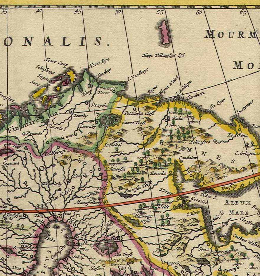
Finnmark (; ; ; ; ) is a counties of Norway, county in northern Norway. By land, it borders Troms county to the west, Finland's Lapland (Finland), Lapland region to the south, and Russia's Murmansk Oblast to the east, and by water, the Norwegian Sea (Atlantic Ocean) to the northwest, and the Barents Sea (Arctic Ocean) to the north and northeast. The county was formerly known as ''Finmarkens amt'' or ''VardΟΗhus amt''. Since 2002, it has had two official names: Finnmark (Norwegian language, Norwegian) and FinnmΟΓrku (Northern Sami language, Northern Sami). It is part of the SΟΓpmi region, which spans four countries, as well as the Barents Region, and is Norway's second-largest and least populous county. Situated at the northernmost part of continental Europe, where the Norwegian coastline swings eastward, Finnmark is an area "where East meets West" in culture as well as in nature and geography. VardΟΗ Municipality, Norway's easternmost municipality, is farther east than Saint ... [...More Info...] [...Related Items...] OR: [Wikipedia] [Google] [Baidu] |
Ο‰ksfjordjΟΗkelen
or is the ninth largest glacier in mainland Norway. The glacier is located in Troms and Finnmark counties. The glacier lies on the border of Loppa Municipality (in Finnmark) and KvΟΠnangen Municipality (in Troms). The highest point was earlier known to have an elevation of . It is now due to glacier shrinkage. The mountain Svartfjellet, Loppa, Svartfjellet lies just north of the glacier in Loppa Municipality. That is another of the highest points in Finnmark county. The lowest point on the glacier has an elevation of . The village of Alteidet in KvΟΠnangen Municipality is located nearby, along the European route E6 highway. See also * List of glaciers in Norway * List of highest points of Norwegian counties References Glaciers of Finnmark Glaciers of Troms KvΟΠnangen Loppa {{Finnmark-geo-stub ... [...More Info...] [...Related Items...] OR: [Wikipedia] [Google] [Baidu] |


