|
Clathrate Hydrate
Clathrate hydrates, or gas hydrates, clathrates, or hydrates, are crystalline water-based solids physically resembling ice, in which small non-polar molecules (typically gases) or polar molecules with large hydrophobic moieties are trapped inside "cages" of hydrogen bonded, frozen water molecules. In other words, clathrate hydrates are clathrate compounds in which the host molecule is water and the guest molecule is typically a gas or liquid. Without the support of the trapped molecules, the lattice structure of hydrate clathrates would collapse into conventional ice crystal structure or liquid water. Most low molecular weight gases, including , , , , , , , , , and as well as some higher hydrocarbons and freons, will form hydrates at suitable temperatures and pressures. Clathrate hydrates are not officially chemical compounds, as the enclathrated guest molecules are never bonded to the lattice. The formation and decomposition of clathrate hydrates are first order phase ... [...More Info...] [...Related Items...] OR: [Wikipedia] [Google] [Baidu] |
Phase Transition
In physics, chemistry, and other related fields like biology, a phase transition (or phase change) is the physical process of transition between one state of a medium and another. Commonly the term is used to refer to changes among the basic State of matter, states of matter: solid, liquid, and gas, and in rare cases, plasma (physics), plasma. A phase of a thermodynamic system and the states of matter have uniform physical property, physical properties. During a phase transition of a given medium, certain properties of the medium change as a result of the change of external conditions, such as temperature or pressure. This can be a discontinuous change; for example, a liquid may become gas upon heating to its boiling point, resulting in an abrupt change in volume. The identification of the external conditions at which a transformation occurs defines the phase transition point. Types of phase transition States of matter Phase transitions commonly refer to when a substance tran ... [...More Info...] [...Related Items...] OR: [Wikipedia] [Google] [Baidu] |
Climate Change
Present-day climate change includes both global warming—the ongoing increase in Global surface temperature, global average temperature—and its wider effects on Earth's climate system. Climate variability and change, Climate change in a broader sense also includes previous long-term changes to Earth's climate. The current rise in global temperatures is Scientific consensus on climate change, driven by human activities, especially fossil fuel burning since the Industrial Revolution. Fossil fuel use, Deforestation and climate change, deforestation, and some Greenhouse gas emissions from agriculture, agricultural and Environmental impact of concrete, industrial practices release greenhouse gases. These gases greenhouse effect, absorb some of the heat that the Earth Thermal radiation, radiates after it warms from sunlight, warming the lower atmosphere. Carbon dioxide, the primary gas driving global warming, Carbon dioxide in Earth's atmosphere, has increased in concentratio ... [...More Info...] [...Related Items...] OR: [Wikipedia] [Google] [Baidu] |
Greenhouse Gas
Greenhouse gases (GHGs) are the gases in the atmosphere that raise the surface temperature of planets such as the Earth. Unlike other gases, greenhouse gases absorb the radiations that a planet emits, resulting in the greenhouse effect. The Earth is warmed by sunlight, causing its surface to radiate heat, which is then mostly absorbed by greenhouse gases. Without greenhouse gases in the atmosphere, the average temperature of Earth's surface would be about , rather than the present average of .Le Treut, H., R. Somerville, U. Cubasch, Y. Ding, C. Mauritzen, A. Mokssit, T. Peterson and M. Prather, 2007:Chapter 1: Historical Overview of Climate Change. In:Climate Change 2007: The Physical Science Basis. Contribution of Working Group I to the Fourth Assessment Report of the Intergovernmental Panel on Climate Change. olomon, S., D. Qin, M. Manning, Z. Chen, M. Marquis, K.B. Averyt, M. Tignor and H.L. Miller (eds.) Cambridge University Press, Cambridge, United Kingdom and New Y ... [...More Info...] [...Related Items...] OR: [Wikipedia] [Google] [Baidu] |
Carbon Dioxide Clathrate
Carbon dioxide hydrate or carbon dioxide clathrate is a snow-like crystalline substance composed of water ice and carbon dioxide. It normally is a Type I gas clathrate. There has also been some experimental evidence for the development of a metastable Type II phase at a temperature near the ice melting point. The clathrate can exist below 283K (10 °C) at a range of pressures of carbon dioxide. CO2 hydrates are widely studied around the world due to their promising prospects of carbon dioxide capture from flue gas and fuel gas streams relevant to post-combustion and pre-combustion capture. It is also quite likely to be important on Mars due to the presence of carbon dioxide and ice at low temperatures. History The first evidence for the existence of CO2 hydrates dates back to the year 1882, when Zygmunt Florenty Wróblewski reported clathrate formation while studying carbonic acid. He noted that gas hydrate was a white material resembling snow and could be formed by raisi ... [...More Info...] [...Related Items...] OR: [Wikipedia] [Google] [Baidu] |
Pipeline Transport
A pipeline is a system of Pipe (fluid conveyance), pipes for long-distance transportation of a liquid or gas, typically to a market area for consumption. The latest data from 2014 gives a total of slightly less than of pipeline in 120 countries around the world. The United States had 65%, Russia had 8%, and Canada had 3%, thus 76% of all pipeline were in these three countries. The main attribute to pollution from pipelines is caused by corrosion and leakage. ''Pipeline and Gas Journal''s worldwide survey figures indicate that of pipelines are planned and under construction. Of these, represent projects in the planning and design phase; reflect pipelines in various stages of construction. Liquids and gases are transported in pipelines, and any chemically stable substance can be sent through a pipeline. Pipelines exist for the transport of crude and refined petroleum, fuels—such as oil, natural gas and biofuels—and other fluids including sewage, slurry, water, beer, hot wa ... [...More Info...] [...Related Items...] OR: [Wikipedia] [Google] [Baidu] |
Canadian Arctic
Northern Canada (), colloquially the North or the Territories, is the vast northernmost region of Canada, variously defined by geography and politics. Politically, the term refers to the three territories of Canada: Yukon, Northwest Territories and Nunavut. This area covers about 48 per cent of Canada's total land area, but has less than 0.5 per cent of Canada's population. The terms "northern Canada" or "the North" may be used in contrast with ''the far north'', which may refer to the Canadian Arctic, the portion of Canada that lies north of the Arctic Circle, east of Alaska and west of Greenland. However, in many other uses the two areas are treated as a single unit. Capitals The capital cities of the three northern territories, from west to east, are: * Yukon - Whitehorse * Northwest Territories - Yellowknife * Nunavut - Iqaluit Definitions Subdivisions As a social rather than political region, the Canadian North is often subdivided into two distinct regions based on c ... [...More Info...] [...Related Items...] OR: [Wikipedia] [Google] [Baidu] |
Mackenzie River
The Mackenzie River (French: ; Slavey language, Slavey: ' [tèh tʃʰò], literally ''big river''; Inuvialuktun: ' [kuːkpɑk], literally ''great river'') is a river in the Canadian Canadian boreal forest, boreal forest and tundra. It forms, along with the Slave River, Slave, Peace River, Peace, and Finlay River, Finlay, the longest river system in Canada, and includes the second largest drainage basin of any North American river after the Mississippi River, Mississippi. The Mackenzie River flows through a vast, thinly populated region of forest and tundra entirely within the Northwest Territories in Canada, although its many tributaries reach into five other Provinces and territories of Canada, Canadian provinces and territories. The river's mainstem (hydrology), main stem is long, flowing north-northwest from Great Slave Lake into the Arctic Ocean, where it forms a large River delta, delta at its mouth. Its extensive watershed drains about 20 percent of Canada. It is t ... [...More Info...] [...Related Items...] OR: [Wikipedia] [Google] [Baidu] |
Mallik Gas Hydrate Site
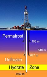
The Mallik gas hydrate site (also known as the Mallik Gas Hydrate Production Research Well or Mallik test well) is located in the Beaufort Sea, Canada. Site highlights * First dedicated scientific and technical research site investigating permafrost gas hydrates; * First location where full-scale thermal and pressure draw down production testing has been completed; * Site of extensive gas hydrate research and development studies conducted in 1998, 2002 and 2007/2008; * Quantitative well log determinations and core studies reveal three main intervals of gas hydrates from 890 to 1,160 m, exceeding 110 m in total thickness; * Gas hydrate occurs within the pore space of medium grained sands with gas hydrate concentrations ranging between 50 and 90%; * Application of a vertical seismic profile (VSP); used to both study the in-situ gas hydrate reservoir characteristics and the changes induced by production testing; * The 2002 Research & Development (R&D) program involved 7 participants f ... [...More Info...] [...Related Items...] OR: [Wikipedia] [Google] [Baidu] |
Permafrost
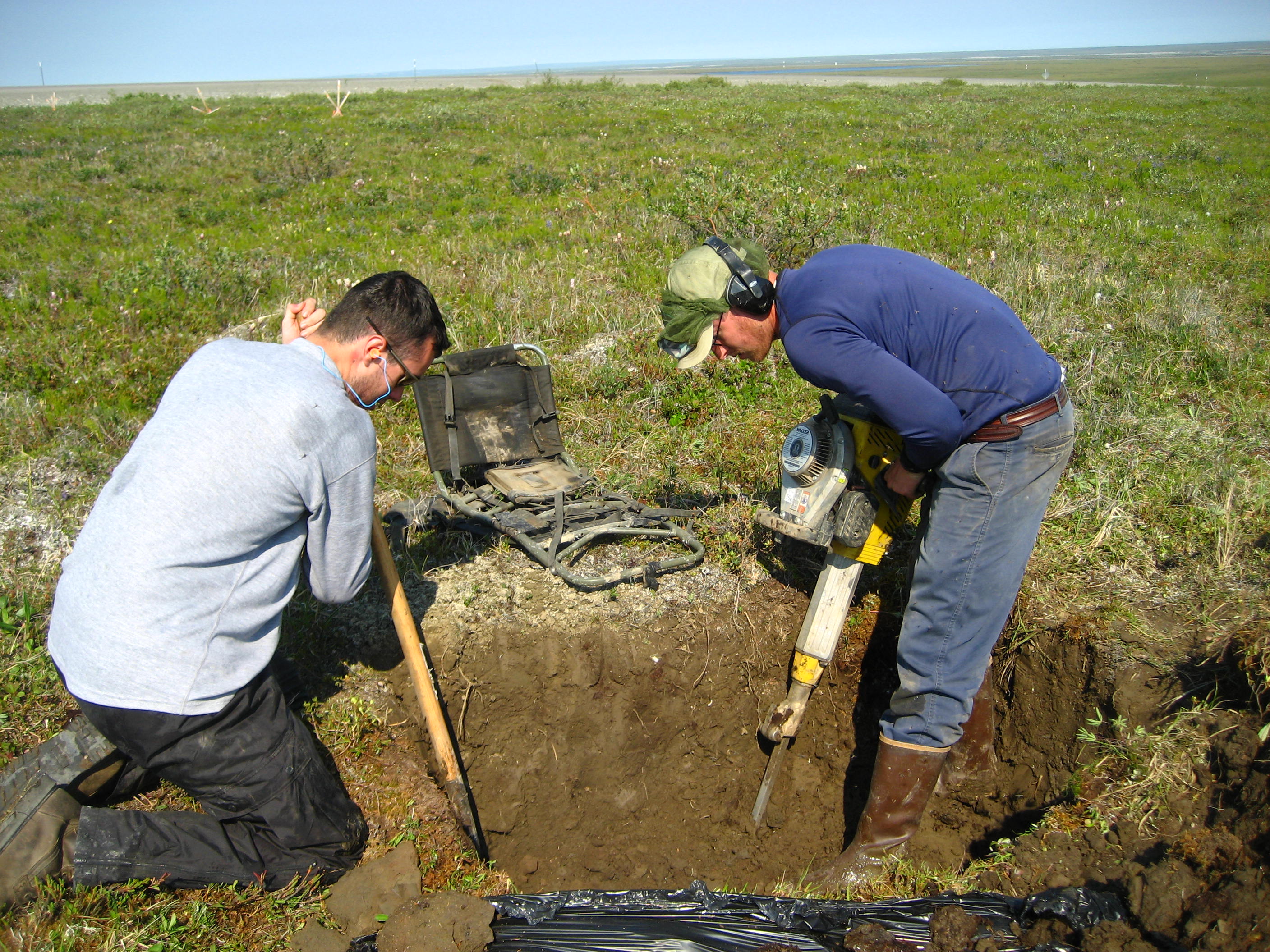
Permafrost () is soil or underwater sediment which continuously remains below for two years or more; the oldest permafrost has been continuously frozen for around 700,000 years. Whilst the shallowest permafrost has a vertical extent of below a meter (3 ft), the deepest is greater than . Similarly, the area of individual permafrost zones may be limited to narrow mountain summits or extend across vast Arctic regions. The ground beneath glaciers and ice sheets is not usually defined as permafrost, so on land, permafrost is generally located beneath a so-called active layer of soil which freezes and thaws depending on the season. Around 15% of the Northern Hemisphere or 11% of the global surface is underlain by permafrost, covering a total area of around . This includes large areas of Alaska, Canada, Greenland, and Siberia. It is also located in high mountain regions, with the Tibetan Plateau being a prominent example. Only a minority of permafrost exists in the Southern Hemi ... [...More Info...] [...Related Items...] OR: [Wikipedia] [Google] [Baidu] |
Storegga Slide
The three Storegga Slides () are amongst the largest known submarine landslides. They occurred at the edge of Norway's continental shelf in the Norwegian Sea, approximately 6225–6170 BCE. The collapse involved an estimated length of coastal shelf, with a total volume of of debris, which caused a paleotsunami in the North Atlantic Ocean. Description Storegga ( Norwegian: ''Great Edge'') is located at the edge of Norway's continental shelf in the Norwegian Sea, north-west of the Møre coast. In around 6200 BCE, structural failures of the shelf caused three underwater landslides, which triggered very large tsunamis in the North Atlantic Ocean. The collapses involved an estimated length of coastal shelf, with a total volume of of debris. Based on carbon dating of plant material recovered from sediment deposited by the tsunamis, the latest incident occurred around 6225–6170 BCE. In Scotland, traces of the subsequent tsunami have been recorded, with deposited sediment bei ... [...More Info...] [...Related Items...] OR: [Wikipedia] [Google] [Baidu] |
Norwegian Continental Shelf
The Norwegian continental shelf () (abbreviated as NCS) is the continental shelf over which Norway exercises sovereign rights as defined by the United Nations Convention on the Law of the Sea. The area of the shelf is four times the area of Norway mainland and constitutes about one-third of the Europe continental shelf. It is rich in petroleum and gas and it is the base of the petroleum economy of Norway The economy of Norway is a Developed country, highly developed mixed economy with state-ownership in strategic areas. Although sensitive to global business cycles, the economy of Norway has shown robust growth since the start of the Industrial .... References External links Interactive Map over the Norwegian Continental Shelf live information, facts, pictures and videos. Norwegian Government "Continental shelf – questions and answers" Continental shelves of Europe Landforms of Norway Landforms of the North Sea Geology of the North Sea Petroleum in Norway ... [...More Info...] [...Related Items...] OR: [Wikipedia] [Google] [Baidu] |


