|
Burghs
A burgh ( ) is an autonomous municipal corporation in Scotland, usually a city, town, or toun in Scots. This type of administrative division existed from the 12th century, when King David I created the first royal burghs. Burgh status was broadly analogous to borough status, found in the rest of the United Kingdom. Following local government reorganisation in 1975, the title of "royal burgh" remains in use in many towns, but now has little more than ceremonial value. History The first burgh was Berwick. By 1130, David I (r. 1124–53) had established other burghs including Edinburgh, Stirling, Dunfermline, Haddington, Perth, Dumfries, Jedburgh, Montrose, Rutherglen and Lanark. Most of the burghs granted charters in his reign probably already existed as settlements. Charters were copied almost verbatim from those used in England, and early burgesses usually invited English and Flemish settlers.A. MacQuarrie, ''Medieval Scotland: Kinship and Nation'' (Thrupp: Sutton, 20 ... [...More Info...] [...Related Items...] OR: [Wikipedia] [Google] [Baidu] |
Royal Burgh
A royal burgh ( ) was a type of Scottish burgh which had been founded by, or subsequently granted, a royal charter. Although abolished by law in 1975, the term is still used by many former royal burghs. Most royal burghs were either created by Scottish monarchy, the Crown, or upgraded from another status, such as burgh of barony. As discrete classes of burgh emerged, the royal burghs—originally distinctive because they were on royal lands—acquired a monopoly of foreign trade. An important document for each burgh was its burgh charter, creating the burgh or confirming the rights of the burgh as laid down (perhaps orally) by a previous monarch. Each royal burgh (with the exception of four 'inactive burghs') was represented in the Parliament of Scotland and could appoint bailies with wide powers in civil and criminal justice.George S Pryde, ''The Burghs of Scotland: A Critical List'', Oxford, 1965. The four inactive burghs were Auchtermuchty, Earlsferry, Falkland and Newburgh ... [...More Info...] [...Related Items...] OR: [Wikipedia] [Google] [Baidu] |
Local Government (Scotland) Act 1973
The Local Government (Scotland) Act 1973 (c. 65) is an Act of Parliament (UK), act of Parliament of the United Kingdom that altered local government of Scotland, local government in Scotland on 16 May 1975. The act followed and largely implemented the report of the Royal Commission on Local Government in Scotland in 1969 (the Wheatley Report), and it made the most far-reaching changes to Scottish local government in centuries. It swept away the Counties of Scotland, counties, burghs and districts established by the Local Government (Scotland) Act 1947, which were largely based on units of local government dating from the Middle Ages, and replaced them with a uniform two-tier system of regional and district councils (except in the islands, which were given unitary, all-purpose councils). In England and Wales, the Local Government Act 1972 established a similar system of two-tier metropolitan and non-metropolitan counties of England, administrative county and Districts of England ... [...More Info...] [...Related Items...] OR: [Wikipedia] [Google] [Baidu] |
Rutherglen
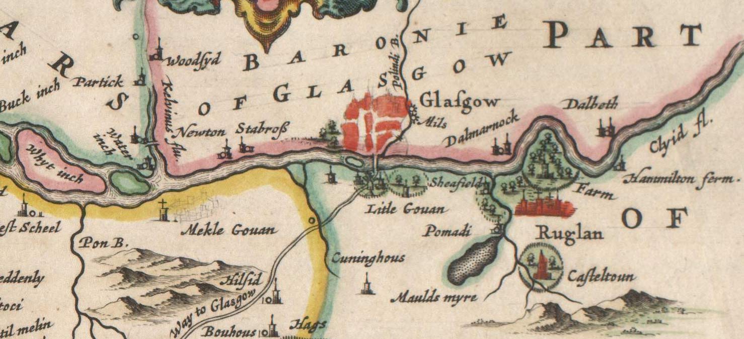
Rutherglen (; , ) is a town in South Lanarkshire, Scotland, immediately south-east of the city of Glasgow, from its centre and directly south of the River Clyde. Having previously existed as a separate Lanarkshire burgh, in 1975 Rutherglen lost its own local council and administratively became a component of the City of Glasgow (1975–1996), City of Glasgow District within the Strathclyde Local government areas of Scotland 1973–96, region (along with neighbouring Cambuslang). In 1996 the towns were reallocated to the South Lanarkshire Subdivisions of Scotland, council area.From a pawnbrokers to Parliament - Tommy McAvoy looks back on a career that took him to the House of Lords Marc McLean, Dail ... [...More Info...] [...Related Items...] OR: [Wikipedia] [Google] [Baidu] |
David I Of Scotland
David I or Dauíd mac Maíl Choluim (Scottish Gaelic, Modern Gaelic: ''Daibhidh I mac [Mhaoil] Chaluim''; – 24 May 1153) was a 12th century ruler and saint who was David I as Prince of the Cumbrians, Prince of the Cumbrians from 1113 to 1124 and King of Scotland from 1124 to 1153. The youngest son of King Malcolm III and Saint Margaret of Scotland, Queen Margaret, David spent most of his childhood in Scotland but was exiled to Kingdom of England, England temporarily in 1093. Perhaps after 1100, he became a dependent at the court of King Henry I of England, by whom he was influenced. When David's brother Alexander I of Scotland, Alexander I died in 1124, David chose, with the backing of Henry I, to take the Kingdom of Alba (Scotland) for himself. He was forced to engage in warfare against his rival and nephew, Máel Coluim mac Alaxandair. Subduing the latter seems to have taken David ten years, a struggle that involved the destruction of Óengus of Moray, Óengus, Mormaer of ... [...More Info...] [...Related Items...] OR: [Wikipedia] [Google] [Baidu] |
Haddington, East Lothian
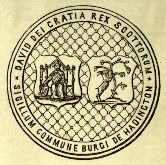
The Royal Burgh of Haddington (, ) is a town in East Lothian, Scotland. It is the main administrative, cultural and geographical centre for East Lothian. It lies about east of Edinburgh. The name Haddington is Anglo-Saxon, dating from the sixth or seventh century AD when the area was incorporated into the Kingdom of Bernicia. The town, like the rest of the Lothian region, was ceded by Edgar of England, King Edgar of England and became part of Scotland in the tenth century. Haddington received Burgh status, one of the earliest to do so, during the reign of David I of Scotland, David I (1124–1153), giving it trading rights which encouraged its growth into a market town. Today, Haddington is a small town with a population of about 10,000 people, but during the High Middle Ages it was the fourth-biggest town in Scotland (after Aberdeen, Roxburgh and Edinburgh). In the middle of the town is the Haddington Town House, completed in 1745 based on a plan by William Adam (architect), ... [...More Info...] [...Related Items...] OR: [Wikipedia] [Google] [Baidu] |
Berwick-upon-Tweed
Berwick-upon-Tweed (), sometimes known as Berwick-on-Tweed or simply Berwick, is a town and civil parish in Northumberland, England, south of the Anglo-Scottish border, and the northernmost town in England. The 2011 United Kingdom census recorded Berwick's population as 12,043. The town is at the mouth of the River Tweed on the east coast, south east of Edinburgh, north of Newcastle upon Tyne, and north of London. Uniquely for England, the town is slightly further north than Denmark's capital Copenhagen and the southern tip of Sweden, further east of the North Sea, which Berwick borders. Berwick was founded as an Anglo-Saxon settlement in the Kingdom of Northumbria, which was annexed by England in the 10th century. A civil parishes in England, civil parish and town council were formed in 2008 comprising the communities of Berwick, Spittal, Northumberland, Spittal and Tweedmouth. It is the northernmost civil parish in England. For more than 400 years, the area was central t ... [...More Info...] [...Related Items...] OR: [Wikipedia] [Google] [Baidu] |
Lanark
Lanark ( ; ; ) is a town in South Lanarkshire, Scotland, located 20 kilometres to the south-east of Hamilton, South Lanarkshire, Hamilton. The town lies on the River Clyde, at its confluence with Mouse Water. In 2016, the town had a population of 9,050. Lanark was a royal burgh from 1140 to 1975, and was historically the county town of Lanarkshire, though in modern times this title belongs to Hamilton. Notable landmarks nearby include New Lanark, the Falls of Clyde (waterfalls), Corra Linn and the site of Lanark Castle. Lanark railway station and bus interchange have frequent services to Glasgow. There is little industry in Lanark and some residents commute to work in Glasgow and Edinburgh. Its shops serve the local agricultural community and surrounding villages. There is a large modern livestock auction market on the outskirts of the town. History Medieval period The town's name is believed to come from the Brythonic languages, Brythonic ' meaning "clear space, glade". ... [...More Info...] [...Related Items...] OR: [Wikipedia] [Google] [Baidu] |
Stirling
Stirling (; ; ) is a City status in the United Kingdom, city in Central Belt, central Scotland, northeast of Glasgow and north-west of Edinburgh. The market town#Scotland, market town, surrounded by rich farmland, grew up connecting the royal Stirling Castle, citadel, the medieval old town with its merchants and tradesmen, the Stirling Old Bridge, Old Bridge and the port. Located on the River Forth, Stirling is the administrative centre for the Stirling (council area), Stirling council area, and is traditionally the county town and historic county of Stirlingshire. Stirling's key position as the lowest bridging point of the River Forth before it broadens towards the Firth of Forth made it a focal point for travel north or south. It has been said that "Stirling, like a huge brooch clasps Scottish Highlands, Highlands and Scottish Lowlands, Lowlands together". The city's status as "Gateway to the Highlands" also historically lent it great strategic importance—the credo "he who ... [...More Info...] [...Related Items...] OR: [Wikipedia] [Google] [Baidu] |
Old Aberdeen
Old Aberdeen is part of Aberdeen in Scotland. Old Aberdeen was originally a separate burgh, which was erected into a burgh of barony on 26 December 1489. It was incorporated into adjacent Aberdeen by Act of Parliament in 1891. It retains the status of a community council area. The town's motto is ''"concordia res parvae crescunt"'' ("through harmony, small things increase"). Location Located to the north of Aberdeen city centre, Old Aberdeen was for a long time fairly isolated at the edge of the city, being followed to the north by the River Don, Aberdeenshire, River Don, Seaton Park, Aberdeen, Seaton Park and the small Brig o' Balgownie hamlet. Since the 1960s, and the North Sea oil boom of the 1970s, however, housing development has surrounded the area, in particular with the nearby Tillydrone development. History Old Aberdeen was an important political, ecclesiastical and cultural centre since the Late Middle Ages. It was distinct from the more commercial New Aberdeen ... [...More Info...] [...Related Items...] OR: [Wikipedia] [Google] [Baidu] |
Town
A town is a type of a human settlement, generally larger than a village but smaller than a city. The criteria for distinguishing a town vary globally, often depending on factors such as population size, economic character, administrative status, or historical significance. In some regions, towns are formally defined by legal charters or government designations, while in others, the term is used informally. Towns typically feature centralized services, infrastructure, and governance, such as municipal authorities, and serve as hubs for commerce, education, and cultural activities within their regions. The concept of a town varies culturally and legally. For example, in the United Kingdom, a town may historically derive its status from a market town designation or City status in the United Kingdom, royal charter, while in the United States, the term is often loosely applied to incorporated municipality, municipalities. In some countries, such as Australia and Canada, distinction ... [...More Info...] [...Related Items...] OR: [Wikipedia] [Google] [Baidu] |
Flemings
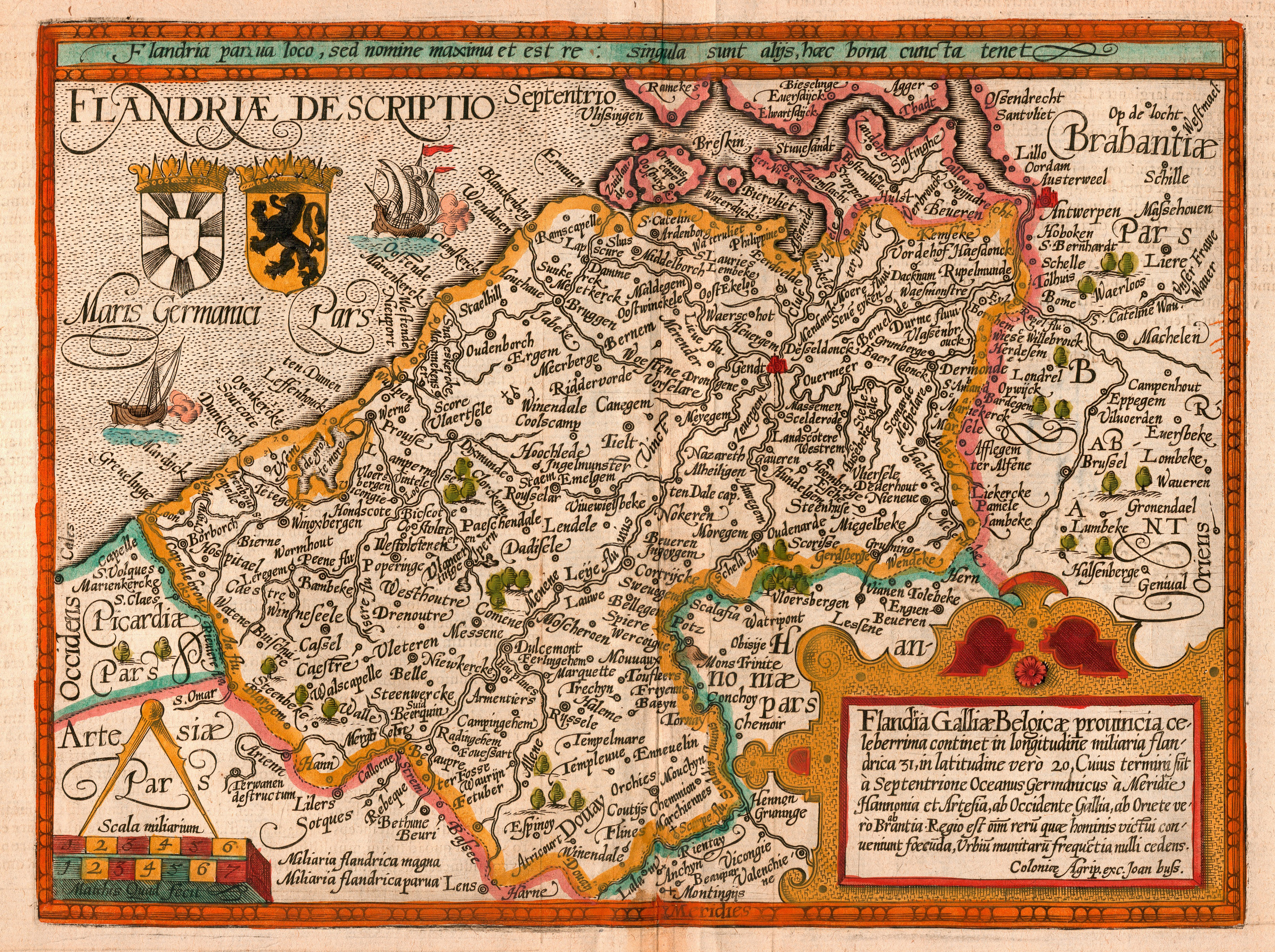
Flemish people or Flemings ( ) are a Germanic ethnic group native to Flanders, Belgium, who speak Flemish Dutch. Flemish people make up the majority of Belgians, at about 60%. ''Flemish'' was historically a geographical term, as all inhabitants of the medieval County of Flanders in modern-day Belgium, France and the Netherlands were referred to as "Flemings" irrespective of their ethnicity or language. The contemporary region of Flanders comprises a part of this historical county, as well as parts of the medieval Duchy of Brabant and the medieval County of Loon, where the modern national identity and culture gradually formed. History The sense of "Flemish" identity increased significantly after the Belgian Revolution. Prior to this, the term "" in the Dutch language was in first place used for the inhabitants of the former County of Flanders. Flemish, however, had been used since the 14th century to refer to the language and dialects of both the peoples of Flanders and the ... [...More Info...] [...Related Items...] OR: [Wikipedia] [Google] [Baidu] |
Burgage
Burgage is a medieval land term used in Great Britain and Ireland, well established by the 13th century. A burgage was a town ("borough" or "burgh") rental property (to use modern terms), owned by a king or lord. The property ("burgage tenement") usually, and distinctly, consisted of a house on a long and narrow plot of land (), with a narrow street frontage. Rental payment ("tenure") was usually in the form of money, but each "burgage tenure" arrangement was unique and could include services. As populations grew, "burgage plots" could be split into smaller additional units. (Amalgamation was not so common until the second half of the 19th century.) Burgage tenures were usually money-based, in contrast with rural tenures, which were usually services-based. In Saxon times the rent was called a ''landgable'' or ''hawgable''. Burgage grants were also common in Ireland; for example, when the town of Wexford received its royal charter in 1418, English settlers were encouraged in ... [...More Info...] [...Related Items...] OR: [Wikipedia] [Google] [Baidu] |


