|
Auto Trail
The system of auto trails was an informal network of marked routes that existed in the United States and Canada in the early part of the 20th century. Marked with colored bands on utility poles, the trails were intended to help travellers in the early days of the automobile. Auto trails were usually marked and sometimes maintained by organizations of private individuals. Some, such as the Lincoln Highway, maintained by the Lincoln Highway Association, were well-known and well-organized, while others were the work of fly-by-night promoters, to the point that anyone with enough paint and the will to do so could set up a trail. Trails were not usually linked to road improvements, although counties and states often prioritized road improvements because they were on trails. In the mid-to-late 1920s, the auto trails were essentially replaced with the United States Numbered Highway System The United States Numbered Highway System (often called U.S. Routes or U.S. Highways) is ... [...More Info...] [...Related Items...] OR: [Wikipedia] [Google] [Baidu] [Amazon] |
United States
The United States of America (USA), also known as the United States (U.S.) or America, is a country primarily located in North America. It is a federal republic of 50 U.S. state, states and a federal capital district, Washington, D.C. The 48 contiguous states border Canada to the north and Mexico to the south, with the semi-exclave of Alaska in the northwest and the archipelago of Hawaii in the Pacific Ocean. The United States asserts sovereignty over five Territories of the United States, major island territories and United States Minor Outlying Islands, various uninhabited islands in Oceania and the Caribbean. It is a megadiverse country, with the world's List of countries and dependencies by area, third-largest land area and List of countries and dependencies by population, third-largest population, exceeding 340 million. Its three Metropolitan statistical areas by population, largest metropolitan areas are New York metropolitan area, New York, Greater Los Angeles, Los Angel ... [...More Info...] [...Related Items...] OR: [Wikipedia] [Google] [Baidu] [Amazon] |
Atlantic Highway (United States)
U.S. Route 1 or U.S. Highway 1 (US 1) is a major north–south United States Numbered Highway that serves the East Coast of the United States. It runs from Key West, Florida, north to Fort Kent, Maine, at the Canadian border, making it the longest north–south road in the United States. US 1 is generally paralleled by Interstate 95 (I-95), though US 1 is significantly farther west and inland between Jacksonville, Florida, and Petersburg, Virginia, while I-95 is closer to the coastline. In contrast, US 1 in Maine is much closer to the coast than I-95, which runs farther inland than US 1. The route connects most of the major cities of the East Coast from the Southeastern United States to New England, including Miami, Jacksonville, Augusta, Columbia, Raleigh, Richmond, Washington, D.C., Baltimore, Philadelphia, Newark, New York City, New Haven, Providence, Boston, and Portland. While US 1 is generally the easternmost of the main nor ... [...More Info...] [...Related Items...] OR: [Wikipedia] [Google] [Baidu] [Amazon] |
Bankhead Highway
The Bankhead Highway was a United States cross-country automobile highway connecting Washington, D.C., and San Diego, California, San Diego. The Bankhead Highway's beginnings can be traced back to 1916 when the Bankhead Highway Association was organized to promote the highway's development. It was part of the National Auto Trail system. The road was named for Alabama politician John H. Bankhead, a leader in the early national road-building movement. In later years, several stretches of U.S. Route 78 in Alabama, U.S. Route 78 in northwest Alabama were renamed for Bankhead's son, former U.S. Representative and Speaker of the House William B. Bankhead. Route description As was common with early auto trails, the Bankhead Highway had several different routes. The main and branch routes below are considered to be the primary configurations of the highway. California The route followed the former U.S. Route 80 in California, US 80 from San Diego and through La Mes ... [...More Info...] [...Related Items...] OR: [Wikipedia] [Google] [Baidu] [Amazon] |
Baltimore Pike Marker
Baltimore is the List of municipalities in Maryland, most populous city in the U.S. state of Maryland. With a population of 585,708 at the 2020 United States census, 2020 census and estimated at 568,271 in 2024, it is the List of United States cities by population, 30th-most populous U.S. city. The Baltimore metropolitan area is the Metropolitan statistical areas, 20th-largest metropolitan area in the country at 2.84 million residents. The city is also part of the Washington–Baltimore combined statistical area, which had a population of 9.97 million in 2020. Baltimore was designated as an Independent city (United States), independent city by the Constitution of Maryland in 1851. Though not located under the jurisdiction of any county in the state, it forms part of the central Maryland region together with Baltimore County, Maryland, the surrounding county that shares its name. The land that is present-day Baltimore was used as hunting ground by Paleo-Indians. In the early 160 ... [...More Info...] [...Related Items...] OR: [Wikipedia] [Google] [Baidu] [Amazon] |
Philadelphia, Pennsylvania
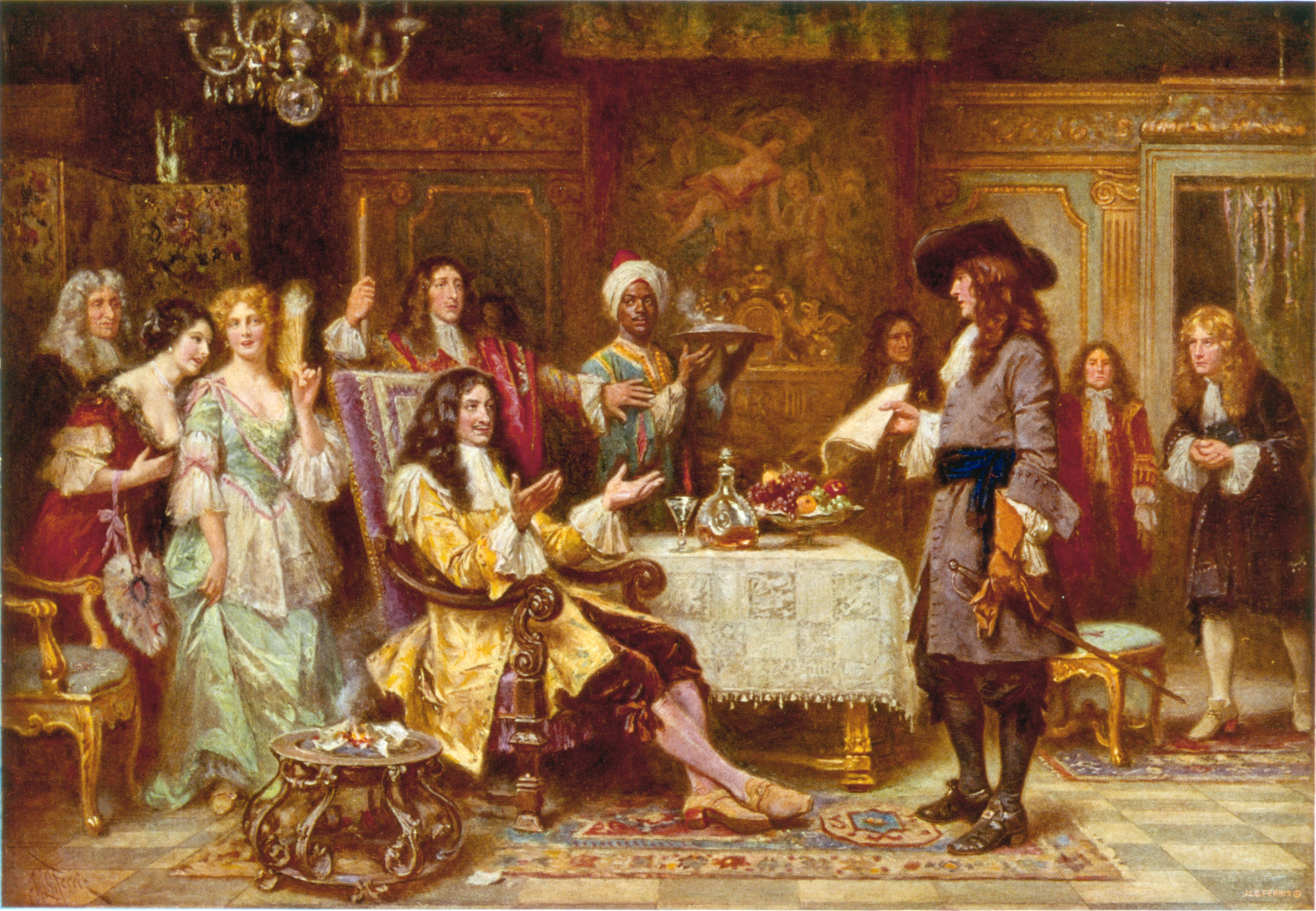
Philadelphia ( ), colloquially referred to as Philly, is the List of municipalities in Pennsylvania, most populous city in the U.S. state of Pennsylvania and the List of United States cities by population, sixth-most populous city in the United States, with a population of 1,603,797 in the 2020 United States census, 2020 census. The city is the urban core of the Philadelphia metropolitan area (sometimes called the Delaware Valley), the nation's Metropolitan statistical area, seventh-largest metropolitan area and ninth-largest combined statistical area with 6.245 million residents and 7.379 million residents, respectively. Philadelphia was founded in 1682 by William Penn, an English Americans, English Quakers, Quaker and advocate of Freedom of religion, religious freedom, and served as the capital of the Colonial history of the United States, colonial era Province of Pennsylvania. It then played a historic and vital role during the American Revolution and American Revolutionary ... [...More Info...] [...Related Items...] OR: [Wikipedia] [Google] [Baidu] [Amazon] |
Baltimore Pike
The Baltimore Pike was an auto trail connecting Baltimore, Maryland, with Philadelphia, Pennsylvania. Today, parts of the road are signed as U.S. Route 1 in Pennsylvania, U.S. Route 1 (US 1), U.S. Route 13 in Pennsylvania, US 13, and a small portion of Pennsylvania Route 41 (PA 41). A section of the road within the city limits of Philadelphia and surrounding Borough (Pennsylvania), boroughs is known as Baltimore Avenue, although locals are known to call the Delaware County portion "Baltimore Pike". In suburbs farther west, some sections retain the formal name "Baltimore Pike." Today, Baltimore Avenue's eastern terminus is at 38th Street in Philadelphia, where it intersects with Woodland Avenue (from Southwest Philadelphia and Darby, Pennsylvania, the borough of Darby) and funnels into University Avenue. The road used to continue to Market Street (Philadelphia), Market Street until the University City, Philadelphia, Pennsylvania, University City area was redeveloped. Route descr ... [...More Info...] [...Related Items...] OR: [Wikipedia] [Google] [Baidu] [Amazon] |
Sioux Falls, South Dakota
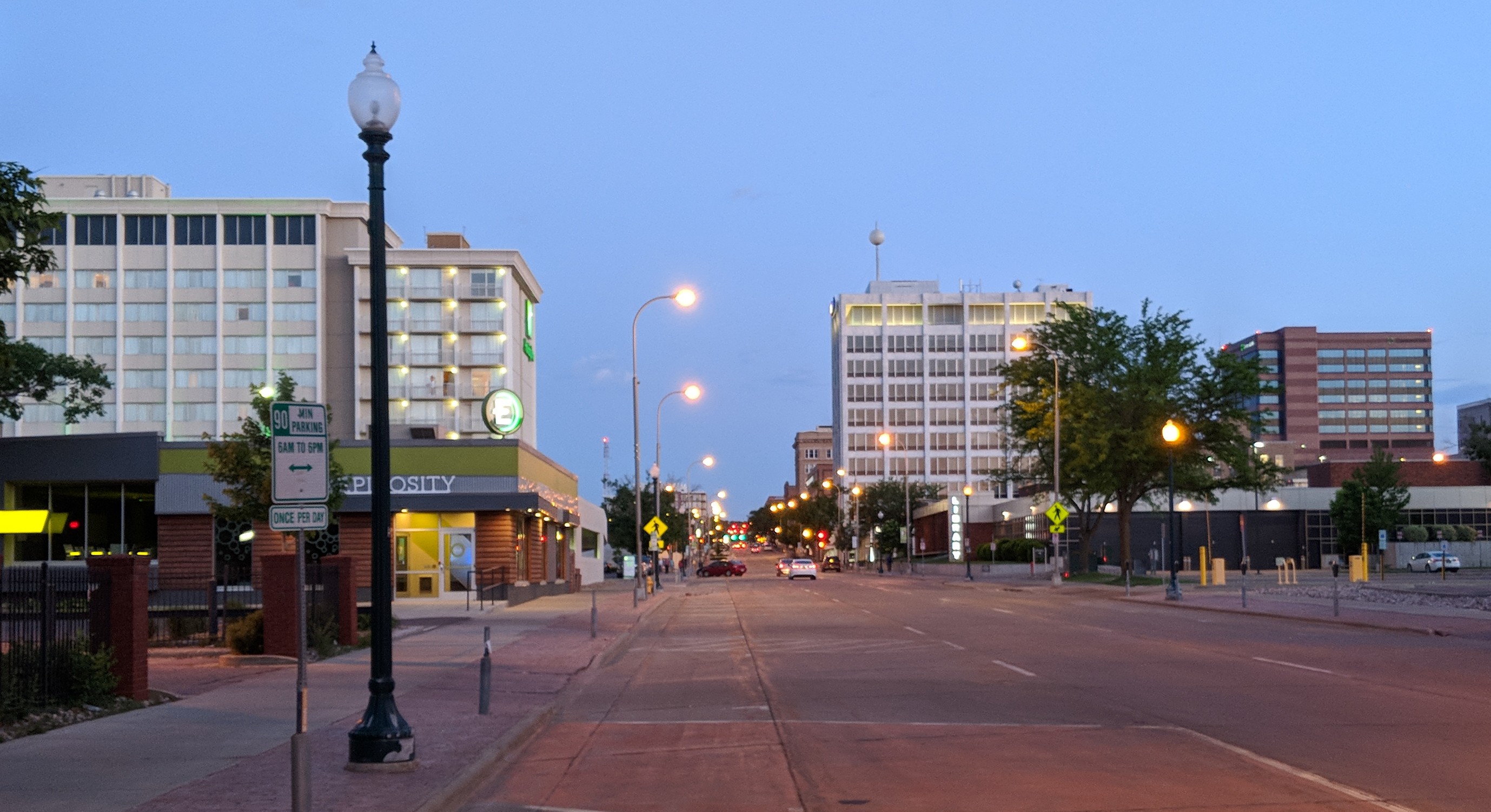
Sioux Falls ( ) is the List of cities in South Dakota, most populous city in the U.S. state of South Dakota and the List of United States cities by population, 117th-most populous city in the United States. It is the county seat of Minnehaha County, South Dakota, Minnehaha County and also extends into northern Lincoln County, South Dakota, Lincoln County. The population was 192,517 at the 2020 United States census, 2020 census, and in 2023, its estimated population was 209,289. According to city officials, the estimated population had grown to 219,588 as of early 2025. The Sioux Falls metro area accounts for more than 30% of the state's population. Chartered in 1856 on the banks of the Big Sioux River, the city is situated in the rolling hills at the junction of Interstate 29 in South Dakota, interstates 29 and Interstate 90 in South Dakota, 90. History The history of Sioux Falls revolves around the cascades of the Big Sioux River. The falls were created about 14,000 years ago ... [...More Info...] [...Related Items...] OR: [Wikipedia] [Google] [Baidu] [Amazon] |
Chicago, Illinois
Chicago is the List of municipalities in Illinois, most populous city in the U.S. state of Illinois and in the Midwestern United States. With a population of 2,746,388, as of the 2020 United States census, 2020 census, it is the List of United States cities by population, third-most populous city in the United States after New York City and Los Angeles. As the county seat, seat of Cook County, Illinois, Cook County, the List of the most populous counties in the United States, second-most populous county in the U.S., Chicago is the center of the Chicago metropolitan area, often colloquially called "Chicagoland" and home to 9.6 million residents. Located on the shore of Lake Michigan, Chicago was incorporated as a city in 1837 near a Chicago Portage, portage between the Great Lakes and the Mississippi River, Mississippi River watershed. It grew rapidly in the mid-19th century. In 1871, the Great Chicago Fire destroyed several square miles and left more than 100,000 homeless, but ... [...More Info...] [...Related Items...] OR: [Wikipedia] [Google] [Baidu] [Amazon] |
Atlantic Yellowstone Pacific Highway
U.S. Route 20 or U.S. Highway 20 (US 20) is an east–west United States Numbered Highway that stretches from the Pacific Northwest east to New England. The "0" in its route number indicates that US 20 is a major coast-to-coast route. Spanning , it is the longest road in the United States, and, in the east, the route is roughly parallel to Interstate 90 (I-90), which is the longest Interstate Highway in the U.S. There is a discontinuity in the official designation of US 20 through Yellowstone National Park, with unnumbered roads used to traverse the park. US 20 and US 30 break the general U.S. Route numbering rules in Oregon, since US 30 actually starts north of US 20 in Astoria, and runs parallel to the north throughout the state (the Columbia River and Interstate 84). The two run concurrently and continue in the correct positioning near Caldwell, Idaho. This is because US 20 was not a planned coast-to-coast route while US 30 was. US&n ... [...More Info...] [...Related Items...] OR: [Wikipedia] [Google] [Baidu] [Amazon] |
New York, New York
New York, often called New York City (NYC), is the List of United States cities by population, most populous city in the United States, located at the southern tip of New York State on New York Harbor, one of the world's largest natural harbors. The city comprises boroughs of New York City, five boroughs, each coextensive with List of counties in New York, a respective county. The city is the geographical and demographic center of both the Northeast megalopolis and the New York metropolitan area, the largest metropolitan area in the United States by both population and urban area. New York is a global city, global center of financial center, finance and Economy of New York City, commerce, Culture of New York City, culture, high technology, technology, The Entertainment Capital of the World, entertainment and Media in New York City, media, Academy, academics, and List of cities by scientific output, scientific output, the The arts, arts and fashion capital, fashion, and, as hom ... [...More Info...] [...Related Items...] OR: [Wikipedia] [Google] [Baidu] [Amazon] |


