|
Western Armenian Language
Western Armenian ( ) is one of the two standardized forms of Modern Armenian, the other being Eastern Armenian. It is based mainly on the Istanbul Armenian dialect, as opposed to Eastern Armenian, which is mainly based on the Yerevan Armenian dialect. Until the early 20th century, various Western Armenian dialects were spoken in the Ottoman Empire, predominantly in the historically Armenian populated regions of Western Armenia. The dialectal varieties of Western Armenian currently in use include Homshetsi, spoken by the Hemshin peoples; the dialects of Armenians in Kessab, Latakia and Jisr al-Shughur in Syria, Anjar in Lebanon, and Istanbul and Vakıflı, in Turkey (part of the "Sueidia" dialect). The Sasun and Mush dialects are also spoken in modern-day Armenian villages such as Bazmaberd and Sasnashen. The Cilician dialect is also spoken in Cyprus, where it is taught in Armenian schools (Nareg), and is the first language of about 3,000 people of Armenian descent. ... [...More Info...] [...Related Items...] OR: [Wikipedia] [Google] [Baidu] |
Turkey
Turkey, officially the Republic of Türkiye, is a country mainly located in Anatolia in West Asia, with a relatively small part called East Thrace in Southeast Europe. It borders the Black Sea to the north; Georgia (country), Georgia, Armenia, Azerbaijan, and Iran to the east; Iraq, Syria, and the Mediterranean Sea to the south; and the Aegean Sea, Greece, and Bulgaria to the west. Turkey is home to over 85 million people; most are ethnic Turkish people, Turks, while ethnic Kurds in Turkey, Kurds are the Minorities in Turkey, largest ethnic minority. Officially Secularism in Turkey, a secular state, Turkey has Islam in Turkey, a Muslim-majority population. Ankara is Turkey's capital and second-largest city. Istanbul is its largest city and economic center. Other major cities include İzmir, Bursa, and Antalya. First inhabited by modern humans during the Late Paleolithic, present-day Turkey was home to List of ancient peoples of Anatolia, various ancient peoples. The Hattians ... [...More Info...] [...Related Items...] OR: [Wikipedia] [Google] [Baidu] |
Ottoman Empire
The Ottoman Empire (), also called the Turkish Empire, was an empire, imperial realm that controlled much of Southeast Europe, West Asia, and North Africa from the 14th to early 20th centuries; it also controlled parts of southeastern Central Europe, between the early 16th and early 18th centuries. The empire emerged from a Anatolian beyliks, ''beylik'', or principality, founded in northwestern Anatolia in by the Turkoman (ethnonym), Turkoman tribal leader Osman I. His successors Ottoman wars in Europe, conquered much of Anatolia and expanded into the Balkans by the mid-14th century, transforming their petty kingdom into a transcontinental empire. The Ottomans ended the Byzantine Empire with the Fall of Constantinople, conquest of Constantinople in 1453 by Mehmed II. With its capital at History of Istanbul#Ottoman Empire, Constantinople (modern-day Istanbul) and control over a significant portion of the Mediterranean Basin, the Ottoman Empire was at the centre of interacti ... [...More Info...] [...Related Items...] OR: [Wikipedia] [Google] [Baidu] |
Artik
Artik () is a town in the Artik Municipality of the Shirak Province of Armenia. As of the 2011 census, the town had a population of 19,534. As per the 2016 official estimate, the population of Artik was around 18,800. As of the 2022 census, the town had a population of 17,647. Artik is famous for its tufa stones, mainly the pink and rosy colored tufa. It is the main centre of tufa and travertine production in Armenia. Etymology According to an 11th-century inscription found in Lmbatavank monastery of Artik, the town was known as Hartk () during the Middle Ages. It was later known as Ardik (), Ardik' () and Artik (). According to locals, the name consists of 2 parts: ''Ar'' derived from ''Mount Aragats'', and ''tik'' meaning ''leaning'' in Armenian. Thus, the name ''Artik'' most probably means ''leaning on Aragats''. History According to archaeological excavations conducted during 1960 in the territory of modern-day Artik, it was revealed that the area has been settled since the ... [...More Info...] [...Related Items...] OR: [Wikipedia] [Google] [Baidu] |
Gyumri
Gyumri (, ) is an urban municipal community and the List of cities and towns in Armenia, second-largest city in Armenia, serving as the administrative center of Shirak Province in the northwestern part of the country. By the end of the 19th century, when the city was known as Alexandropol, it became the largest city of Russian-ruled Eastern Armenia with a population above that of Yerevan. The city became renowned as a cultural hub, while also carrying significance as a major center of Russian troops during Russo-Turkish wars of the 19th century. The city underwent a tumultuous period during and after World War I. While Russian forces withdrew from the South Caucasus due to the October Revolution, the city became host to large numbers of Armenian refugees fleeing the Armenian genocide, in particular hosting 22,000 orphaned children in around 170 orphanage buildings. It was renamed Leninakan during the Soviet period and became a major industrial and textile center in Soviet Armenia. ... [...More Info...] [...Related Items...] OR: [Wikipedia] [Google] [Baidu] |
Karin Dialect
The Karin dialect (, ''Karno barbař'') is a Western Armenian dialect originally spoken in and around the city of Erzurum (called Karin by Armenians), now located in eastern Turkey. Before World War I, the Karin dialect was spoken by the local Armenian populations in much of the Erzurum Vilayet of the Ottoman Empire and Kars Oblast of the Russian Empire. After the Armenian genocide of 1915, most of Erzurum's Armenian population took refuge to the Russian-controlled parts of Armenia. The city of Kars and its Russian ''oblast'' became part of the First Republic of Armenia in 1918, but was occupied by Kemalist Turkey as a result of the Turkish–Armenian War in fall 1920. Today, it is one of the most widely spoken Western Armenian dialects, most of which became virtually extinct after the genocide. Nowadays, it is spoken in the northwest of Armenia (in and around the city of Gyumri) and by the Armenian minority in Georgia's Samtskhe-Javakheti province. History According to Pr ... [...More Info...] [...Related Items...] OR: [Wikipedia] [Google] [Baidu] |
Cilicia
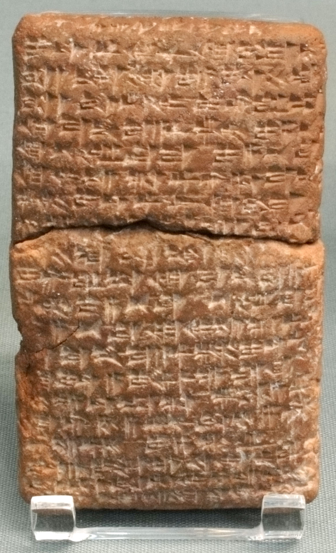
Cilicia () is a geographical region in southern Anatolia, extending inland from the northeastern coasts of the Mediterranean Sea. Cilicia has a population ranging over six million, concentrated mostly at the Cilician plain (). The region includes the provinces of Mersin, Adana, Osmaniye and Hatay. Name The name of Cilicia () was derived from (), which was the name used by the Neo-Assyrian Empire to designate the western part of what would become Cilicia. The English spelling is the same as the Latin, as it was transliterated directly from the Greek form Κιλικία. The palatalization of c occurring in Western Europe in later Vulgar Latin () accounts for its modern pronunciation in English. Geography Cilicia extends along the Mediterranean coast east from Pamphylia to the Nur Mountains, which separate it from Syria. North and east of Cilicia stand the rugged Taurus Mountains, which separate it from the high central plateau of Anatolia, and which are pierced by a ... [...More Info...] [...Related Items...] OR: [Wikipedia] [Google] [Baidu] |
Vakıflı, Samandağ
Vakıflı (, , official name: ''Vakıfköy'') is a neighbourhood of the municipality and district of Samandağ, Hatay Province, Turkey. Its population is 103 (2022). It is the only remaining Armenian village in Turkey. Located on the slopes of Musa Dagh in the Samandağ district of Hatay Province, the village overlooks the Mediterranean Sea and is within eyesight of the Syrian border. It is home to a community of about 130 Turkish-Armenians. The local Western Armenian dialect is highly divergent and cannot be fully understood by other Western Armenians. History The residents of Vakıflı are the descendants of those Armenians who resisted the Armenian genocide of 1915 on Musa Dagh. For 53 days they repelled attacks by Turkish troops until French sailors sighted a banner that the Armenians had tied to a tree on the mountain emblazoned with the words "Christians in Distress: Rescue". eak citation/sup>After being transported to Port Said by the French, the inhabitants of seven Arm ... [...More Info...] [...Related Items...] OR: [Wikipedia] [Google] [Baidu] |
Armenians In Istanbul
Armenians in Istanbul (; ) are a major part of the Turkish Armenian community and historically one of the largest ethnic minorities of Istanbul, Turkey. The city is often referred to as Bolis (Պոլիս) by Armenians, which is derived from the ending of the historical name of the city Constantinople. Today, most estimations put the number of Armenian-Turkish citizens in Istanbul at 50,000, 60,000 or 70,000. They constitute the largest Christian and non-Muslim minority in Istanbul, as well as in Turkey. They are not considered part of the Armenian Diaspora by the Ministry of Diaspora, since they have been living in their historical homeland for more than four thousand years. In addition to Armenians in Turkey, local ethnic Armenians who are Turkish citizens, there are also between 10,000 and 30,000 recent illegal immigrants from Armenia in Istanbul. History Armenians have been living in Constantinople since the fourth century. An Armenian parish was established in 572. Armenia ... [...More Info...] [...Related Items...] OR: [Wikipedia] [Google] [Baidu] |
Anjar, Lebanon
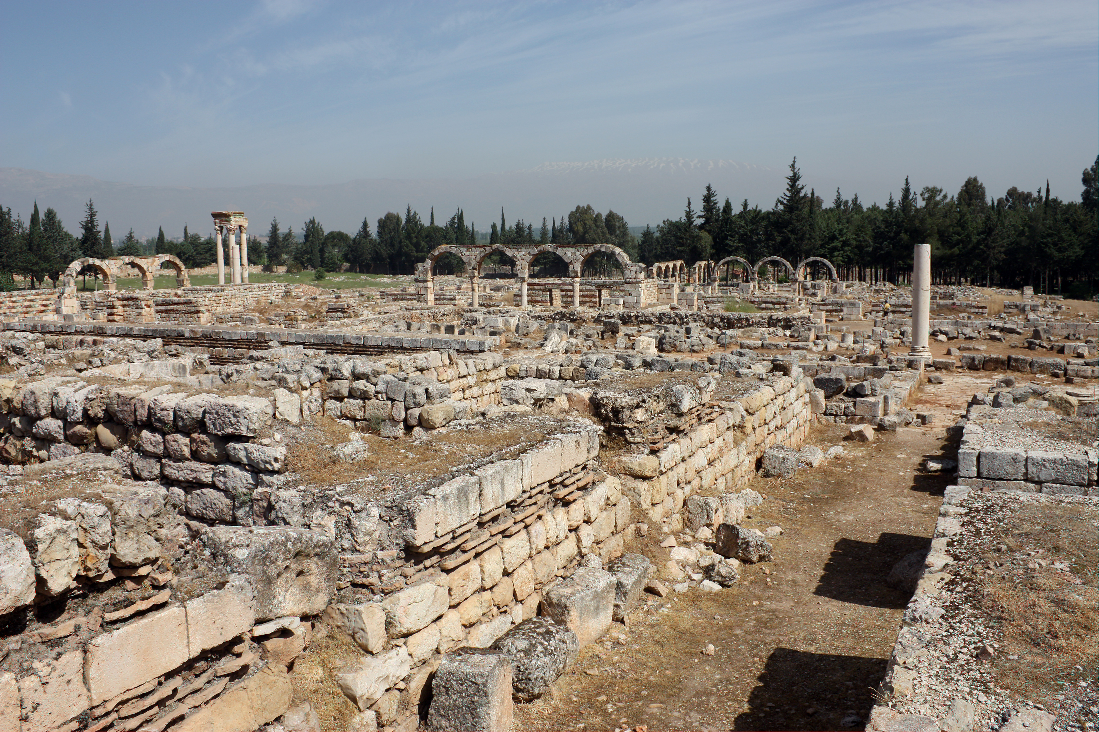
Anjar (meaning "unresolved or running river"); / ALA-LC: ''‘Anjar''; also known as '' Hawsh Mousa'' ( / ''Ḥawsh Mūsá''), is a town of Lebanon, near the Syrian border, located in the Bekaa Valley. The population is 2,400, consisting almost entirely of Armenians. The total area is about twenty square kilometers (7.7 square miles). Since 1984, the ruins of the Umayyad settlement of Anjar have been recognized by UNESCO as a World Heritage Site. History The town's foundation is generally attributed to the Umayyad caliph al-Walid I, at the beginning of the 8th century, as a palace-city. Syriac graffiti found in the quarry from which the best stone was extracted offer the year 714, and Byzantine and Syriac sources attribute the establishment of the town to Umayyad princes, with one Syriac chronicle mentioning Walid I by name, while the Byzantine chronicler Theophanes the Confessor recorded that it was Walid's son, al-Abbas, who started building the town in 709–10. Histor ... [...More Info...] [...Related Items...] OR: [Wikipedia] [Google] [Baidu] |
Jisr Al-Shughur
Jisr ash-Shughūr (, , also rendered as ''Jisser ash-Shughour'' and other spellings), known in antiquity as Seleucobelus (), is a city in the Idlib Governorate in northwestern Syria. Situated at an altitude of above sea level on the Orontes river, the city was inhabited by 44,322 people as of 2010. The inhabitants are mostly Sunni Muslims, with a significant Christian minority (estimated at 3,000 people in 2010), mostly Greek Orthodox. The city is the headquarters of the Turkistan Islamic Party in Syria. History Jisr ash-Shughūr has long been an important stopping point on trade routes. It is situated on the main route between Latakia, which is to the west, and Aleppo, which is to the east. Located in the rich alluvial plain of the Ghab valley on the eastern side of the an-Nusayriyah Mountains (also known as ''Jebel Ansariye''), the area has been continuously inhabited for over 10,000 years. The ancient city of Qarqar is thought to have been situated some south of the mode ... [...More Info...] [...Related Items...] OR: [Wikipedia] [Google] [Baidu] |
Latakia
Latakia (; ; Syrian Arabic, Syrian pronunciation: ) is the principal port city of Syria and capital city of the Latakia Governorate located on the Mediterranean coast. Historically, it has also been known as Laodicea in Syria or Laodicea ad Mare. In addition to serving as a port, the city is a significant manufacturing center for surrounding agricultural towns and villages. According to a 2023 estimate, the population of the city is 709,000, its population greatly increased as a result of the ongoing Syrian Civil War, which led to an influx of internally displaced persons from rebel held areas. It is the List of cities in Syria, 5th-largest city in Syria after Aleppo, Damascus, Homs and Hama. Cape Apostolos Andreas, the north-eastern tip of Cyprus, is about away. Although the site of the city has been inhabited since the 2nd millennium BC, the city was founded as a Greek city in the 4th century BC under the rule of the Greek Seleucid Empire. Latakia was subsequently ruled by t ... [...More Info...] [...Related Items...] OR: [Wikipedia] [Google] [Baidu] |
Kessab
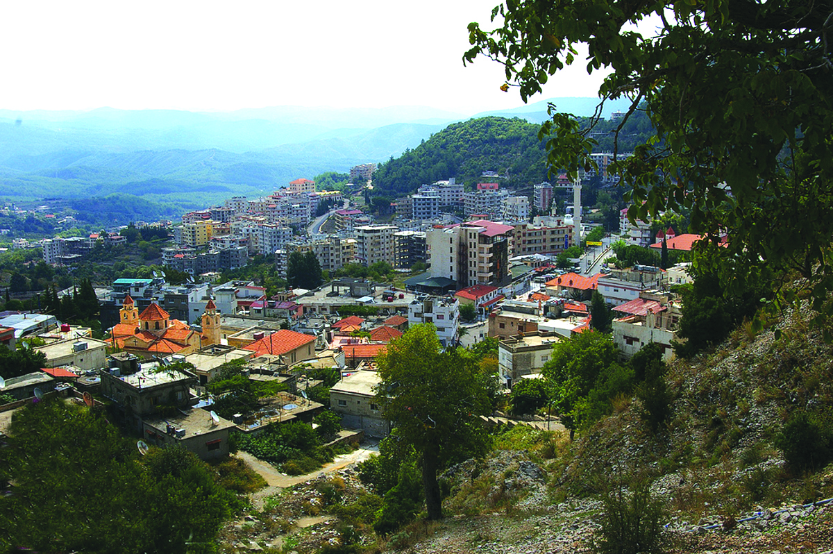
Kessab ( ; ), also spelled Kesab or Kasab, is a town in northwestern Syria, administratively part of the Latakia Governorate, located 59 kilometers north of Latakia. It is situated near the border with Turkey on the slope of Mount Aqraa, 800 meters above sea level. According to the Syria Central Bureau of Statistics, Kessab had a population of 1,754 in the 2004 census.General Census of Population and Housing 2004 Syria Central Bureau of Statistics (CBS). Latakia Governorate. Along with the surrounding villages, the sub-district of Kessab has a total population of around 2,500. Kessab has a ma ... [...More Info...] [...Related Items...] OR: [Wikipedia] [Google] [Baidu] |


