|
Water Supply And Sanitation In Jordan
Water supply and sanitation in Jordan is characterized by severe water scarcity, which has been exacerbated by forced immigration as a result of the 1948 Arab–Israeli War, the Six-Day War in 1967, the Gulf War of 1990, the Iraq War of 2003 and the Syrian Civil War since 2011. Jordan is considered one of the ten most water scarce countries in the world. High population growth, the depletion of groundwater reserves and the impacts of climate change are likely to aggravate the situation in the future. The country's major surface water resources, the Jordan River and the Yarmouk River, are shared with Israel and Syria who leave only a small amount for Jordan. The Disi Water Conveyance Project from the non-renewable Disi aquifer to the capital Amman, opened in July 2013, increases available resources by about 12%. It is planned to bridge the remaining gap between demand and supply through increased use of reclaimed water and desalinated sea water to be provided through the R ... [...More Info...] [...Related Items...] OR: [Wikipedia] [Google] [Baidu] |
Amman
Amman ( , ; , ) is the capital and the largest city of Jordan, and the country's economic, political, and cultural center. With a population of four million as of 2021, Amman is Jordan's primate city and is the largest city in the Levant region, the fifth-largest city in the Arab world, and the tenth-largest metropolitan area in the Middle East. The earliest evidence of settlement in Amman dates to the 8th millennium BC in 'Ain Ghazal, home to the world's oldest statues of the human form. During the Iron Age, the city was known as ''Rabat Aman'', the capital of the Ammonite Kingdom. In the 3rd century BC, the city was renamed ''Philadelphia'' and became one of the ten Greco-Roman cities of the Decapolis. Later, in the 7th century AD, the Rashidun Caliphate renamed the city Amman. Throughout most of the Islamic era, the city alternated between periods of devastation and periods of relative prosperity. Amman was largely abandoned during the Ottoman period from the 15 ... [...More Info...] [...Related Items...] OR: [Wikipedia] [Google] [Baidu] |
Mafraq
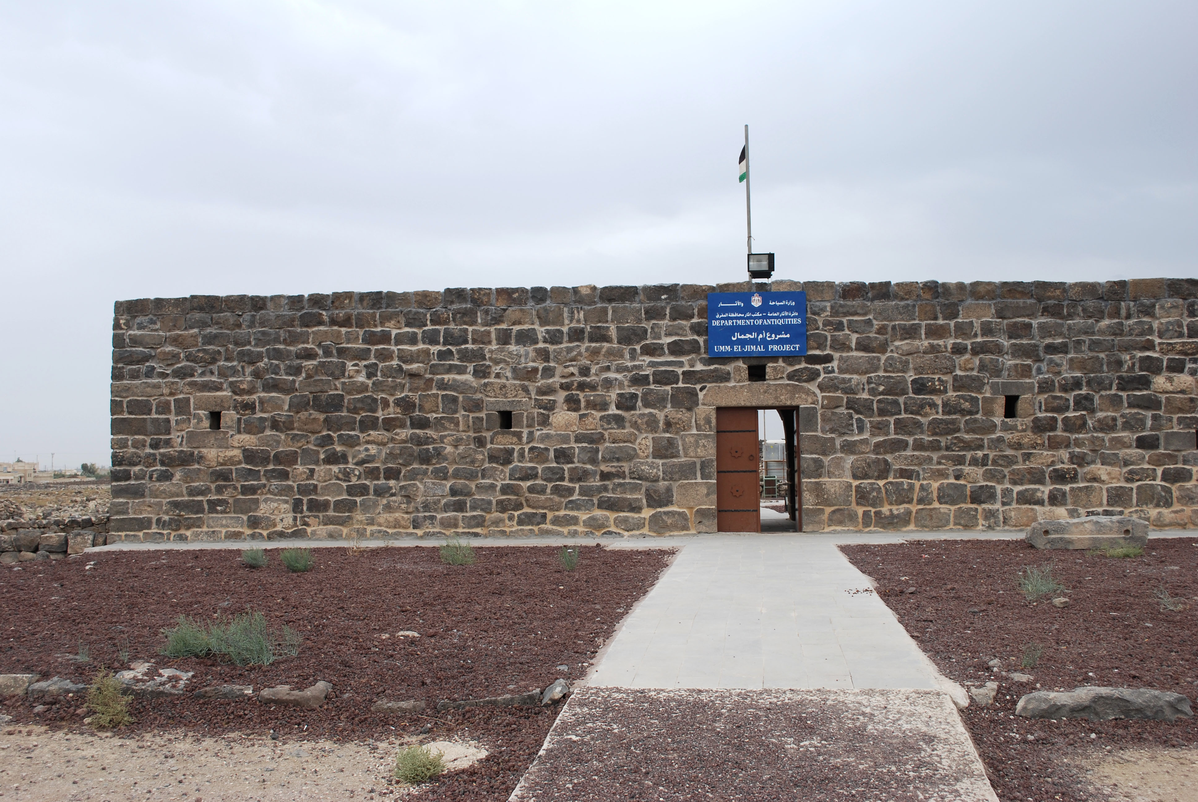
Mafraq ( ''Al-Mafraq'', local dialects: ''Mafrag'' or ''Mafra''; ) is the capital city of Mafraq Governorate in Jordan, located 80 km to the north of the national capital, Amman. It is located at a crossroads, with a road north going to Syria and another road to the east going to Iraq. It had 56,340 inhabitants in 2004. History Mafraq was first settled in the 4th century BC. It is located about 17 km west of the historic Nabataean and Byzantine town of Umm el-Jimal, which was built in the 1st century. The city was first named "Fudain", which comes from the word for fortress in Arabic. In Ottoman times, there was a pilgrims' inn or ''khan'' there, known as Khan or Qal'at el-Mafraq, which was part of the Syrian Hajj route, used annually by Muslims on their way to Medina and Mecca. The city gained more significance after the establishment of the Hejaz Railway connecting Damascus (and by extension Istanbul) to Medina in 1908. The Ottoman Turks renamed the city "Ma ... [...More Info...] [...Related Items...] OR: [Wikipedia] [Google] [Baidu] |
Irbid
Irbid (), known in ancient times as Arabella or Arbela (Άρβηλα in Ancient Greek language, Ancient Greek), is the capital and largest city of Irbid Governorate. It has the second-largest metropolitan population in Jordan after Amman, with a population of around 2,003,800. As a city, Irbid is Jordan's third-largest, after Amman and Zarqa. Irbid is located about north of Amman on the northern ridge of the Gilead, equidistant from Pella, Jordan, Pella, Beit Ras (Capitolias), and Um Qais, and approximately south of the Syrian border. Irbid was built on successive Early Bronze Age settlements and was possibly the Hebrew Bible, biblical Beth Arbel and the Arbila of the Decapolis, a Hellenistic league of the 1st-2nd century BCE. The population of Irbid swelled in the late 19th century, and prior to 1948 it served as a significant centre of transit trade. The city is a major ground transportation hub between Amman, Syria to the north, and Mafraq to the east. The Irbid region is ... [...More Info...] [...Related Items...] OR: [Wikipedia] [Google] [Baidu] |
Deir Alla
Deir Alla (Arabic: دير علا) is the site of an ancient Near Eastern town in Balqa Governorate, Jordan. The Deir Alla Inscription, datable to ca. 840–760 BCE, was found here. On 20 August 2010, it recorded a temperature of 51.1 °C, the new official highest temperature in the history of Jordan. Identification Deir Alla has been suggested to be the biblical Sukkot in Transjordan. Some believe it to be the biblical Pethor.W.H. Shea, "The Inscribed Tablets From Tell Deir `Alla" Part IPart II''Andrews University Seminary Studies'', vol. 27, pp. 21-37, 97-119, 1989. It was also suggested by an early traveler to the site, Selah Merrill, who found parallels with names in the Hebrew Bible. Deir Alla is identified with the Byzantine period town of ''Tar'elah'' or ''Dar'elah'', which the Jerusalem Talmud identifies with biblical Sukkot. Archaeology The tell is 50 by 200 meters and rises to 27 meters above the plain. A series of Dutch excavations sponsored by the Ne ... [...More Info...] [...Related Items...] OR: [Wikipedia] [Google] [Baidu] |
Azraq
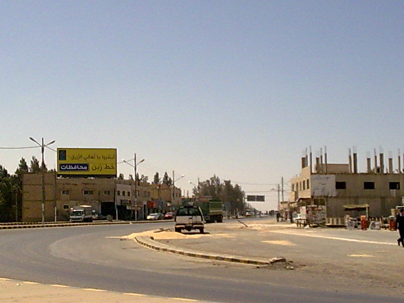
Azraq ( meaning "blue") is a small town in Zarqa Governorate in central-eastern Jordan, east of Amman. The population of Azraq was 9,021 in 2004. The Muwaffaq Salti Air Base is located in Azraq. History Prehistory archaeology, Archaeological evidence indicates that Azraq has been occupied for hundreds of thousands of years, with the oldest known remains dating to the Lower Palaeolithic, around 500–300,000 years ago. The spring-fed oasis provided a more or less constant source of water throughout this period, and probably acted as a refugium (population biology), refugium for humans and other animals at times when the surrounding area dried out. The oasis itself changed as the climate fluctuated: at times a permanent lake, a marsh, or a seasonal Dry lake, playa. Animals found in Lower Palaeolithic layers at the Shishan Marsh site include a large elephant (probably the extinct ''Palaeoloxodon recki''), a smaller elephant (probably ''Elephas hysudricus,'' the ancestor of the ... [...More Info...] [...Related Items...] OR: [Wikipedia] [Google] [Baidu] |
Aqaba
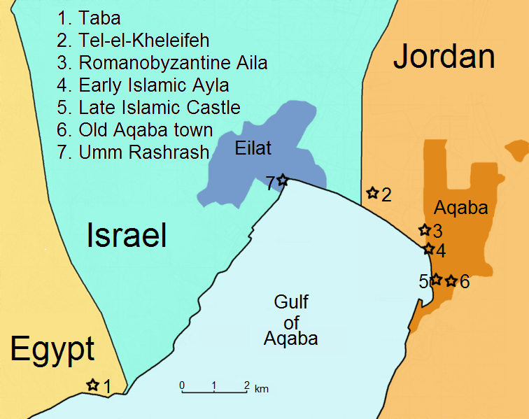
Aqaba ( , ; , ) is the only coastal city in Jordan and the largest and most populous city on the Gulf of Aqaba. Situated in southernmost Jordan, Aqaba is the administrative center of the Aqaba Governorate. The city had a population of 148,398 in 2015 and a land area of . Aqaba has significant trade and tourism. The Port of Aqaba also serves other countries in the region. Aqaba's strategic location at the northeastern tip of the Red Sea between the continents of Asia and Africa has made its port important for thousands of years. The ancient city was called '' Elath'', known in Latin as ''Aela'') and in Arabic as ''Ayla''. Its strategic location and proximity to copper mines made it a regional hub for copper production and trade in the Chalcolithic period. Aela became a bishopric under Byzantine rule and later became a Latin Catholic titular see after Islamic conquest around AD 650, when it became known as ''Ayla''; the name ''Aqaba'' is late medieval. In the Great Ara ... [...More Info...] [...Related Items...] OR: [Wikipedia] [Google] [Baidu] |
Al Karak
Al-Karak (), in English sources often simply Karak, is a city in Jordan known for its medieval castle, the Kerak Castle. The castle is one of the three largest castles in the region, the other two being in Syria. Al-Karak is the capital city of the Karak Governorate. Al-Karak lies to the south of Amman on the ancient King's Highway (ancient), King's Highway. It is situated on a hilltop about above sea level and is surrounded on three sides by a valley. Al-Karak has a view of the Dead Sea. A city of about 32,216 people (2005) grew up around castle. The town is built on a triangular plateau with the castle at its narrow southern tip. History Iron Age to Assyrian period Al-Karak has been inhabited since at least the Iron Age, and was an important city for the Moabites. In the Bible it is called ''Kir-haresh'', ''Kir-hareseth'' or Kir of Moab, and is identified as having been subject to the Neo-Assyrian Empire; in the Books of Kings () and Book of Amos (), it is mentioned as th ... [...More Info...] [...Related Items...] OR: [Wikipedia] [Google] [Baidu] |
Non-revenue Water
Non-revenue water (NRW) is water that has been produced and is "lost" before it reaches the customer. Losses can be real losses (through leaks, sometimes also referred to as physical losses) or apparent losses (for example through theft or Water metering, metering inaccuracies). High levels of NRW are detrimental to the financial viability of water utilities, as well to the quality of water itself. NRW is typically measured as the volume of water "lost" as a share of net water produced. However, it is sometimes also expressed as the volume of water "lost" per km of water distribution network per day. Components and audits The International Water Association (IWA) has developed a detailed methodology to assess the various components of NRW. Accordingly, NRW has the following components: * Unbilled authorized consumption * Apparent losses (water theft and metering inaccuracies) * Real losses (from transmission mains, storage facilities, distribution mains or service connections) In ... [...More Info...] [...Related Items...] OR: [Wikipedia] [Google] [Baidu] |
Intermittent Water Supply
A piped water supply and distribution system is intermittent when water continuity is for less than 24 hours a day or not on all days of the week. (Open access) During this continuity defining factors are water pressure and equity. At least 45 countries have intermittent water supply (IWS) systems. It is contrasted with a continuous or "24/7" water supply, the service standard. (Limited pages accessible, free registration required for complete access.) No system is intentionally designed to be intermittent, but they may become that way because of system overexpansion, leakage and other factors. As of 2022, there was no feasible method for modelling IWS, including no computer-aided tools. Contamination issues can be associated with an intermittent water distribution system. Global public health impact includes millions of cases of infections and diarrhea, and 1560 deaths annually. A continuous supply is not practical in all situations. (Free to read) In the short term, an IWS ... [...More Info...] [...Related Items...] OR: [Wikipedia] [Google] [Baidu] |
Improved Sanitation
Improved sanitation (related to but distinct from a " safely managed sanitation service") is a term used to categorize types of sanitation for monitoring purposes. It refers to the management of human feces at the household level. The term was coined by the Joint Monitoring Program (JMP) for Water Supply and Sanitation of UNICEF and WHO in 2002 to help monitor the progress towards Goal Number 7 of the Millennium Development Goals (MDGs). The opposite of "improved sanitation" has been termed "unimproved sanitation" in the JMP definitions. The same terms are used to monitor progress towards Sustainable Development Goal 6 (Target 6.2, Indicator 6.2.1) from 2015 onwards.WHO and UNICEF (2017Progress on Drinking Water, Sanitation and Hygiene: 2017 Update and SDG Baselines Geneva: World Health Organization (WHO) and the United Nations Children’s Fund (UNICEF), 2017 Here, they are a component of the definition for "safely managed sanitation service". The Joint Monitoring Program (JM ... [...More Info...] [...Related Items...] OR: [Wikipedia] [Google] [Baidu] |
Improved Water Source
An improved water source (or improved drinking-water source or improved water supply) is a term used to categorize certain types or levels of water supply for monitoring purposes. It is defined as a type of water source that, by nature of its construction or through active intervention, is likely to be protected from outside contamination, in particular from contamination with Human feces, fecal matter. The term was coined by the Joint Monitoring Programme for Water Supply and Sanitation, Joint Monitoring Program (JMP) for Water Supply and Sanitation of UNICEF and World Health Organization, WHO in 2002 to help monitor the progress towards Goal Number 7 of the Millennium Development Goals (MDGs). The opposite of "improved water source" has been termed "unimproved water source" in the JMP definitions. The same terms are used to monitor progress towards Sustainable Development Goal 6 (Target 6.1, Indicator 6.1.1) from 2015 onwards. Here, they are a component of the definition fo ... [...More Info...] [...Related Items...] OR: [Wikipedia] [Google] [Baidu] |


