|
Wakasa Province
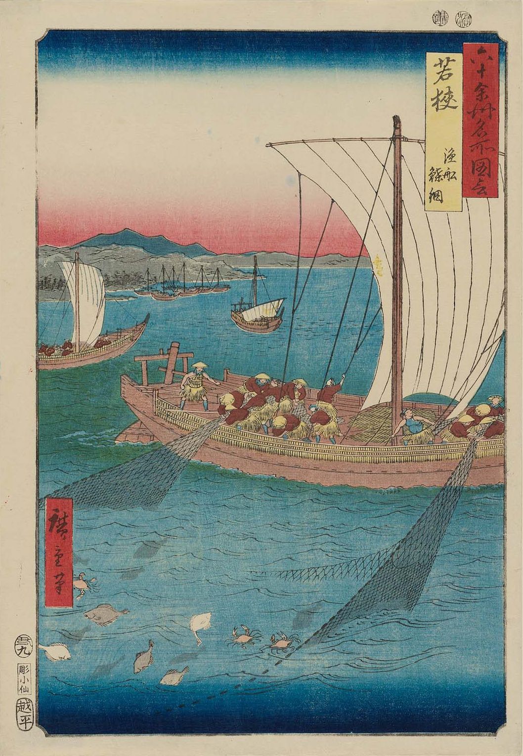
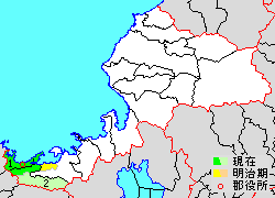
was a province of Japan in the area that is today the southwestern portion of Fukui Prefecture in the Hokuriku region of Japan. Nussbaum, Louis-Frédéric. (2005). "''Wakasa''" in . Wakasa bordered on Echizen, Ōmi, Tanba, Tango, and Yamashiro Provinces. It was part of Hokurikudō Circuit. Its abbreviated form name was . Under the ''Engishiki'' classification system, Wakasa was ranked as a "medium country" (中国) and a near country (近国) in terms of its importance and distance from the capital. History Ancient and classical Wakasa Wakasa existed as a political entity before the ''Ritsuryō'' system and the implementation of the Taihō Code of the Nara period. Wooden shipping tags labelled "Wakasa" have been found in the ruins of Fujiwara-kyō. Per the ''Nihon Shoki'', ancient Wakasa was governed by a Kuni no miyatsuko, who was a descendant of Amenohiboko, a semi-legendary prince of Silla, Shilla, who settled in Tajima province during the reign of Emperor Suinin. There ... [...More Info...] [...Related Items...] OR: [Wikipedia] [Google] [Baidu] |
Provinces Of Japan
were first-level administrative divisions of Japan from the 600s to 1868. Provinces were established in Japan in the late 7th century under the Ritsuryō law system that formed the first central government. Each province was divided into and grouped into one of the geographic regions or circuits known as the ''Gokishichidō'' (Five Home Provinces and Seven Circuits). Provincial borders often changed until the end of the Nara period (710 to 794), but remained unchanged from the Heian period (794 to 1185) until the Edo period (1603 to 1868). The provinces coexisted with the '' han'' (domain) system, the personal estates of feudal lords and warriors, and became secondary to the domains in the late Muromachi period (1336 to 1573). The Provinces of Japan were replaced with the current prefecture system in the ''Fuhanken sanchisei'' during the Meiji Restoration from 1868 to 1871, except for Hokkaido, which was divided into provinces from 1869 to 1882. No order has ever been iss ... [...More Info...] [...Related Items...] OR: [Wikipedia] [Google] [Baidu] |
Fujiwara-kyō
280px, Map of Fujiwara-kyō was the Imperial capital of Japan for sixteen years, between 694 and 710. It was located in Yamato Province (present-day Kashihara in Nara Prefecture), having been moved from nearby Asuka, and remained the capital until its relocation to Heijō-kyō present-day Nara. It was the first in Japanese history to have been a planned city based on a square grid pattern modeled after the Chang'an, the capital of Tang dynasty China. History Per the ''Nihon Shoki'' in the 5th year of Emperor Tenmu's reign (676), the emperor began selecting the site of a new capital. Construction work was carried out over a number of years, based on the different standards of grid-like grids discovered during excavations, and was halted by the emperor's death. It was resumed in 690 under Empress Jitō and continued under the reigns of Emperor Mommu and Empress Genmei. Empress Genmei (661–721) moved the capital from Fujiwara-kyō to Nara (then Heijō-kyō) in 710 mainly t ... [...More Info...] [...Related Items...] OR: [Wikipedia] [Google] [Baidu] |
Konbu
''Konbu'' (from ) is edible kelp mostly from the family Laminariaceae and is widely eaten in East Asia. It may also be referred to as ''dasima'' () or ''haidai'' (). Kelp features in the diets of many civilizations, including Chinese and Icelandic; however, the largest consumers of kelp are the Japanese, who have incorporated kelp and seaweed into their diets for over 1,500 years. Prominent species There are about eighteen edible species in Laminariaceae and most of them, but not all, are called kombu. Confusingly, species of Laminariaceae have multiple names in biology and in fisheries science. In the following list, fisheries science synonyms are in parentheses, and Japanese names follow them. * ''Saccharina japonica'' (''Laminaria japonica''), ** ''Saccharina japonica'' var. ''religiosa'' (''Laminaria religiosa''), ** ''Saccharina japonica'' var. ''diabolica'' (''Laminaria diabolica''), l ** ''Saccharina japonica'' var. ''ochotensis'' (''Laminaria ochotensis''), – co ... [...More Info...] [...Related Items...] OR: [Wikipedia] [Google] [Baidu] |
Heian Period
The is the last division of classical Japanese history, running from 794 to 1185. It followed the Nara period, beginning when the 50th emperor, Emperor Kammu, moved the capital of Japan to Heian-kyō (modern Kyoto). means in Japanese. It is a period in Japanese history when the Chinese influence on Japanese culture, Chinese influences were in decline and the national culture matured. The Heian period is also considered the peak of the Japanese Emperors of Japan, imperial court, noted for its Japanese art, art, especially Japanese poetry, poetry and Japanese literature, literature. Two syllabaries unique to Japan, katakana and hiragana, emerged during this time. This gave rise to Japan's famous vernacular literature, with many of its texts written by court ladies who were not as educated in Chinese as their male counterparts. Although the Imperial House of Japan had power on the surface, the real power was in the hands of the Fujiwara clan, a powerful Kuge, aristocratic family wh ... [...More Info...] [...Related Items...] OR: [Wikipedia] [Google] [Baidu] |
Ōi District, Fukui
is a district located in Fukui Prefecture, Japan. As of 2003, the district had an estimated population of 18,680 with a density Density (volumetric mass density or specific mass) is the ratio of a substance's mass to its volume. The symbol most often used for density is ''ρ'' (the lower case Greek letter rho), although the Latin letter ''D'' (or ''d'') can also be u ... of 133.18 persons per km2. The total area is 140.26 km2. Municipalities The district consists of two towns: * Ōi * Takahama ;Notes: History District Timeline Recent mergers * On March 3, 2006 - The village of Natashō (from Onyū District) was merged into the expanded town of Ōi. Districts in Fukui Prefecture {{Fukui-geo-stub ... [...More Info...] [...Related Items...] OR: [Wikipedia] [Google] [Baidu] |
Mikata District, Fukui
is a district located in Fukui Prefecture, Japan. As of October 1, 2005, the district has an estimated population of 11,023 with a density Density (volumetric mass density or specific mass) is the ratio of a substance's mass to its volume. The symbol most often used for density is ''ρ'' (the lower case Greek letter rho), although the Latin letter ''D'' (or ''d'') can also be u ... of 72.37 persons per km2. The total area is 152.32 km2. Municipalities The district consists of one town: * Mihama ;Notes: History District Timeline Recent mergers * On March 31, 2005 - The town of Mikata merged with the town of Kaminaka (from Onyū District), forming the new town of Wakasa (in the newly created Mikatakaminaka District). Districts in Fukui Prefecture {{Fukui-geo-stub ... [...More Info...] [...Related Items...] OR: [Wikipedia] [Google] [Baidu] |
Onyū District, Fukui
was a Districts of Japan, district located in the Wakasa Province, Wakasa Region of Fukui Prefecture, Japan until 2005. The time before the dissolution, the district had an area of 143.83 km2 with an estimated population of 2,747 with an area of 1,088 and a population density, density of 49.08 persons per km2. The total area is 225.91 km2. Municipalities Prior to its dissolution, the district consisted of only one village: * Natashō, Fukui, Natashō ;Notes: History District Timeline Recent mergers * On March 31, 2005 - The town of Kaminaka, Fukui, Kaminaka was merged with the town of Mikata, Fukui, Mikata (from Mikata District, Fukui, Mikata District) to create the town of Wakasa, Fukui, Wakasa (now in Mikatakaminaka District, Fukui, Mikatakaminaka District). (1 village) * On March 3, 2006 - The village of Natashō, Fukui, Natashō was merged into the expanded town of Ōi, Fukui, Ōi (in Ōi District, Fukui, Ōi District). Onyū District was d ... [...More Info...] [...Related Items...] OR: [Wikipedia] [Google] [Baidu] |
Districts Of Japan
In Japan, a is composed of one or more rural municipalities (Towns of Japan, towns or Villages of Japan, villages) within a Prefectures of Japan, prefecture. Districts have no governing function, and are only used for geographic or statistical purposes such as mailing addresses. Cities of Japan, Cities are not part of districts. Historically, districts have at times functioned as an administrative unit in Japan, administrative unit. From 1878 to 1921The governing law, the district code (''gunsei'', 郡制Entry for the 1890 originalanentry for the revised 1899 ''gunsei''in the National Diet Library ''Nihon hōrei sakuin''/"Index of Japanese laws and ordinances"), was abolished in 1921, but the district assemblies (''gunkai'', 郡会) existed until 1923, the district chiefs (''gunchō'', 郡長) and district offices (''gun-yakusho'', 郡役所) until 1926. district governments were roughly equivalent to a County (United States), county of the United States, ranking below Prefectu ... [...More Info...] [...Related Items...] OR: [Wikipedia] [Google] [Baidu] |
Yamato State
The was a tribal alliance centered on the Yamato region (Nara Prefecture) from the 4th century to the 7th century, and ruled over the alliance of noble families in the central and western parts of the Japanese archipelago. The age is from the 3rd to the 7th century, later than the Yamatai Kingdom. After the Taika Reform, the ōkimi as an emperor, at that time, was in power, and the Yamato period ended. The time period is archaeologically known as the Kofun period. Regarding its establishment, due to the relationship between Yamatai and Yamato's succession to the king's power, there are very different views on it. The Yamato Kingship refers to the regime that emerged in the Nara region ( Yamato region) since the 4th century. But the term does not imply the origin of Japan, which is disputed in Japanese history. At the same time as the rise of the , there were probably several or even dozens of power centers in the Japanese archipelago. This is an issue that Japanese acad ... [...More Info...] [...Related Items...] OR: [Wikipedia] [Google] [Baidu] |
Emperor Suinin
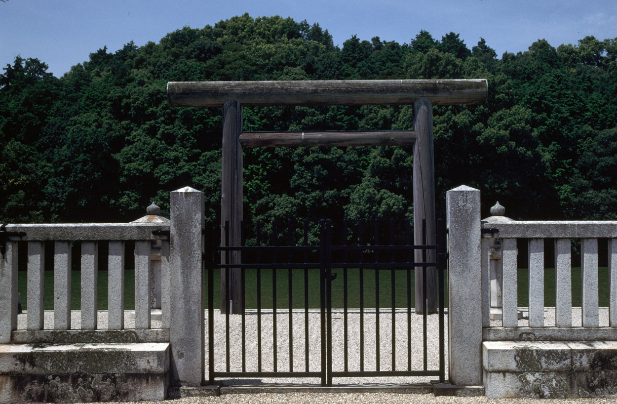
, also known as was the 11th legendary Emperor of Japan, according to the traditional order of succession. Less is known about ''Suinin'' than his father, and likewise he is also considered to be a "legendary emperor". Both the ''Kojiki'', and the ''Nihon Shoki'' (collectively known as the ''Kiki'') record events that took place during Suinin's alleged lifetime. This legendary narrative tells how he ordered his daughter Yamatohime-no-mikoto to establish a new permanent shrine for Amaterasu (the Sun Goddess), which eventually became known as the Ise Grand Shrine. Other events that were recorded concurrently with his reign include the origins of Sumo wrestling in the form of a wrestling match involving Nomi no Sukune. Suinin's reign is conventionally considered to have been from 29 BC to AD 70. During his alleged lifetime, he fathered seventeen children with two chief wives (empress) and six consorts. One of his sons became the next emperor upon his death in 70 AD, but the loca ... [...More Info...] [...Related Items...] OR: [Wikipedia] [Google] [Baidu] |
Tajima Province
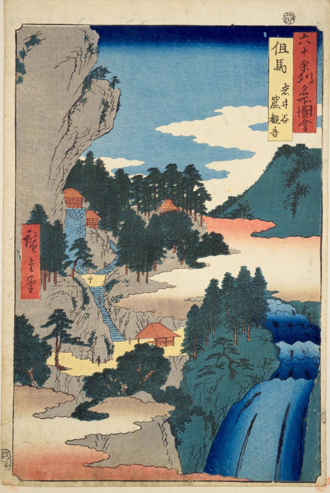
was a Provinces of Japan, province of Japan in the area of northern Hyōgo Prefecture. Tajima bordered on Tango Province, Tango and Tanba Province, Tanba to the east, Harima Province, Harima to the south, and Inaba Province, Inaba to the west. Its abbreviated form name was . In terms of the Gokishichidō system, Tajimao was one of the provinces of the San'indō circuit. Under the ''Engishiki'' classification system, Tajima was ranked as one of the "superior countries" (上国) in terms of importance, and one of the "near countries" (近国) in terms of distance from the capital. The provincial capital was located in what is now the city of Toyooka, Hyōgo, Toyooka. The ''ichinomiya'' of the province is the Izushi Shrine also located in Toyooka. The area of the province was 2099.01 square kilometers. History Early history The early history of the Tajima region is uncertain. There appear to have been two power centers. The Tajima ''Kuni no miyatsuko'' ruled in eastern Tajima ( ... [...More Info...] [...Related Items...] OR: [Wikipedia] [Google] [Baidu] |
Silla
Silla (; Old Korean: wikt:徐羅伐#Old Korean, 徐羅伐, Yale romanization of Korean, Yale: Syerapel, Revised Romanization of Korean, RR: ''Seorabeol''; International Phonetic Alphabet, IPA: ) was a Korean kingdom that existed between 57 BCE – 935 CE and was located on the southern and central parts of the Korea, Korean Peninsula. Silla, along with Paekje and Koguryeo, formed the Three Kingdoms of Korea. Silla had the lowest population of the three, approximately 850,000 people (170,000 households), significantly smaller than those of Paekje (3,800,000 people) and Koguryeo (3,500,000 people). Its foundation can be traced back to the semi-mythological figure of Hyeokgeose of Silla (Old Korean: *pulkunae, "light of the world"), of the Park (Korean surname), Park clan. The country was first ruled intermittently by the Miryang Park clan for 232 years and the Seok (Korean surname)#Wolseong, Wolseong Seok clan for 172 years and beginning with the reign of Michu of Silla, Mi ... [...More Info...] [...Related Items...] OR: [Wikipedia] [Google] [Baidu] |


