|
Telephone Numbers In Egypt
20 is the international dialing country code for Egypt. The telephone numbers are designated under the 2003 Telecom Act created by the Egyptian Ministry of Communications and Information Technology. Dialing codes Land lines Land lines are operated by government-owned Telecom Egypt. The following is a list of dialing codes for the different cities in Egypt. Mobile phone numbers There are currently four mobile network operators in Egypt, and they are, from oldest to newest: Orange, Vodafone, Etisalat, and We. The following is a list of mobile number dialing codes. Emergency phone numbers Egypt has a number of emergency phone numbers including: * Police: 122 (or 112 on mobile) * Ambulance: 123 * Fire brigade: 180 The country also operates miscellaneous emergency numbers including: Hotlines Hotlines are alternative numbers used in place of telephone numbers as a means of dialing a service. Hotlines are usually five digits long and are displayed in advertising and menus. ... [...More Info...] [...Related Items...] OR: [Wikipedia] [Google] [Baidu] |
National Telecommunications Regulatory Authority
The National Telecommunications Regulatory Authority (, Al-Gehaz Al-Qawmy l-Tanzeem Al-Etisalat), commonly known as NTRA, is the Egypt government-approved regulatory and competition authority that was established in accordance of the Egyptian telecommunication regulation law No. 10/ 2003 as the national Authority equipped to regulate and administer the telecommunications region. Regulating the competition environment between the operators inside the industry according to the Egyptian constitution was a huge mandatory case after the huge rate of telecommunication technology growth, as well as ensuring the availability of qualitative and green telecommunications services. The Egyptian Ministry of Communications and Information Technology (MCIT) corporations have supported the Egyptian constitutions rules through a selection of channels, of strong nationwide telecommunications infrastructure paved the manner for the development of a number of important telecommunications secto ... [...More Info...] [...Related Items...] OR: [Wikipedia] [Google] [Baidu] |
Luxor
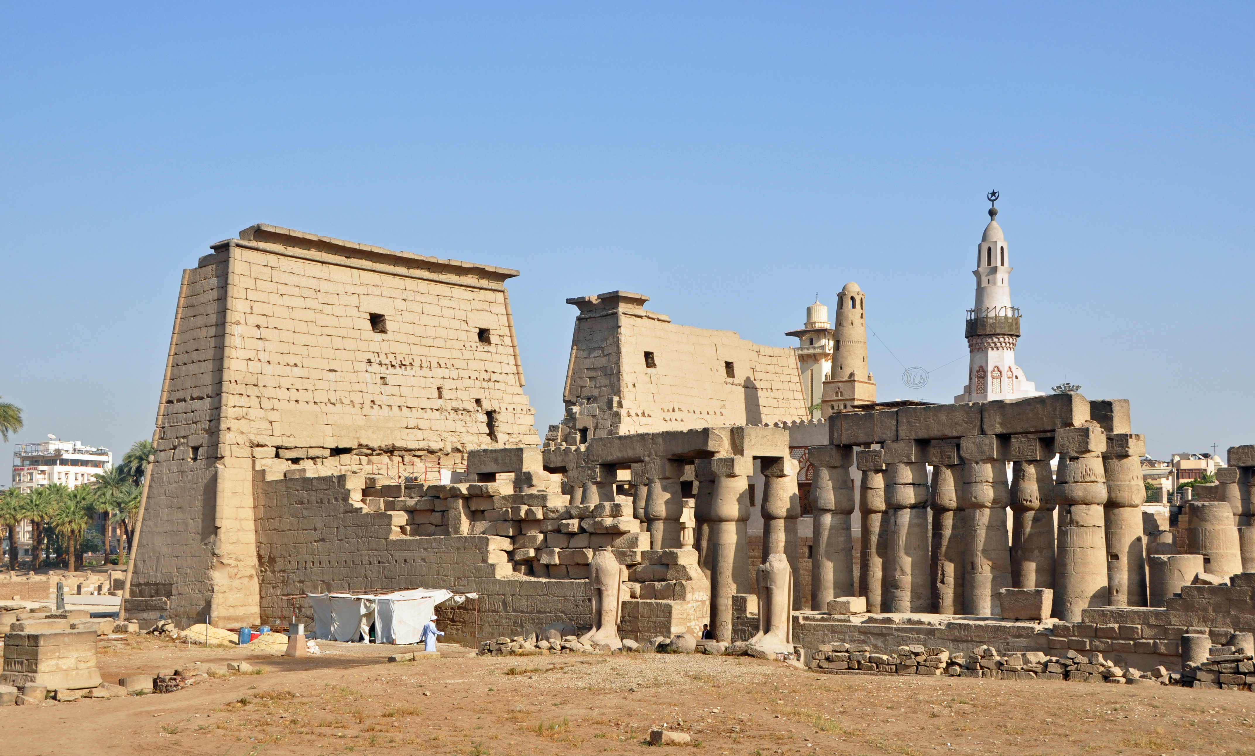
Luxor is a city in Upper Egypt. Luxor had a population of 263,109 in 2020, with an area of approximately and is the capital of the Luxor Governorate. It is among the List of oldest continuously inhabited cities, oldest continuously inhabited cities in the world. Luxor has frequently been characterized as the ''world's greatest open-air museum'', as the ruins of the Egyptian temple complexes at Karnak and Luxor Temple, Luxor stand within the modern city. Immediately opposite, across the River Nile, lie the monuments, temples and tombs of the West Bank Theban Necropolis, which includes the Valley of the Kings and the Valley of the Queens. Thousands of tourists from all around the world arrive annually to visit Luxor's monuments, contributing greatly to the economy of the modern city. Yusuf Abu al-Haggag is the prominent Muslim historical figure of Luxor. Etymology The name ''Luxor'' derives from the Arabic , meaning "castle" or "palace", in the plural form ''al-quṣūr'' (� ... [...More Info...] [...Related Items...] OR: [Wikipedia] [Google] [Baidu] |
Zagazig
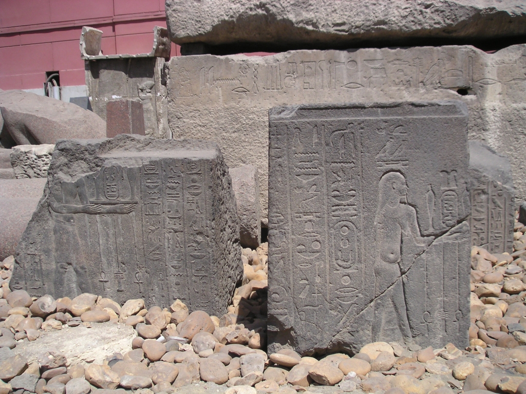
Zagazig (, , ) is a city in Egypt. Situated in the eastern part of the Nile delta, it is the capital of the governorate of Sharqia. It is located on the Muweis Canal and is a hub of the corn and cotton trade. There is a museum, the Museum of Tal Basta Antiquities, that contains many important archaeological exhibits. Zagazig University, one of the largest universities in Egypt, is also located in the city, with colleges in different fields of science and arts. The Archaeological Museum of the University of Zagazig exhibits significant finds from the nearby sites, Bubastis (Tell Basta) and Kufur Nigm. Zagazig is the birthplace of famous Coptic Egyptian journalist, philosopher and social critic, Salama Moussa, and famous Egyptian songwriter Morsi Gameel Aziz. The most notable streets in Zagazig are Farouk Street, Government Street, Abu Hamad and El Kawmia Street. History The city was founded in the 19th century on the site of a village called ''Nazlat az-Zaqāzīq'' whic ... [...More Info...] [...Related Items...] OR: [Wikipedia] [Google] [Baidu] |
El-Tor
El Tor ( ''/'' ), also romanized as ''Al-Tur'' and ''At-Tur'' and known as ''Tur Sinai'', formerly Raithu, is a small city and the capital of the South Sinai Governorate of Egypt. The name of the city comes from the Arabic term for the mountain where the prophet Moses is believed to have received the Tablets of the Law from God; this mountain is designated ''Jabal Al Tor''. At-Tur itself appears to have been founded in the 13th century near the site of the ancient Raythou (medieval ''Raya''). The El tor strain of cholera was discovered there in 1905. It was a quarantine camp for Muslim pilgrims returning from Hajj (the Islamic pilgrimage to Mecca). Known for its springs, the city is an important tourist destination in the South Sinai Governorate along with Sharm El Sheikh and Saint Catherine. History Monastery The Raithu desert is situated around El Tor, between Saint Catherine and the Red Sea. It is part of the Archdiocese of Mount Sinai and Raithu of the Eastern Orthodox ... [...More Info...] [...Related Items...] OR: [Wikipedia] [Google] [Baidu] |
Gharbia Governorate
Gharbia ( ', , "the western governorate") is one of the governorates of Egypt. It is located in the north of the country, south of Kafr El Sheikh Governorate, and north of Monufia Governorate. Its capital is Tanta, which is 90 km north of Cairo, and 120 km south east of Alexandria. The largest city in Gharbia is El Mahalla El Kubra. The total area of Gharbia governorate is 1,942 km2. Gharbia's known history dates back to the Pharaonic era, during which its territory was part of three ancient administrative districts centered around Abu Sir, Samannoud, and Sa El Hagar. These cities held religious and political significance in ancient Egypt: Abu Sir was a pilgrimage site, Sa El Hagar was a religious and medical hub during the early dynastic period, and also the capital of Tefnakht, who unified the Delta and Middle Egypt under his rule. It later became the center of the Twenty-fourth Dynasty of Egypt, which played a role in reuniting Egypt following fragmentat ... [...More Info...] [...Related Items...] OR: [Wikipedia] [Google] [Baidu] |
Suez
Suez (, , , ) is a Port#Seaport, seaport city with a population of about 800,000 in north-eastern Egypt, located on the north coast of the Gulf of Suez on the Red Sea, near the southern terminus of the Suez Canal. It is the capital and largest city of the Suez Governorate. It has three ports: the Suez Port (Port Tewfik), al-Adabiya, and al-Zaytiya, and extensive port facilities. Together, the three cities form the Suez metropolitan area, located mostly in Africa with a small portion in Asia. Railway lines and highways connect the city with Cairo, Port Said, and Ismailia. Suez has a petrochemical plant, and its oil refineries have pipelines carrying the finished product to Cairo. These are represented in the flag of the governorate: the blue background refers to the sea, the gear refers to Suez's status as an industrial governorate, and the flame refers to the petroleum firms of Suez. The modern city of Suez is a successor of the ancient city of Clysma, a major Red Sea port and ... [...More Info...] [...Related Items...] OR: [Wikipedia] [Google] [Baidu] |
Sohag
Sohag (, , ), also spelled as Suhag or Suhaj, is a city on the west bank of the Nile in Egypt. It has been the capital of Sohag Governorate since 1960, before which the capital was Girga and the name of the governorate was Girga Governorate. It also included Esna Governorate (nowadays Qena Governorate). History The modern city developed from the village of ''Suhay'' () (or ''Sumay''), the name of which eventually transformed into Suhaj, and is located on the site of several ancient settlements, the largest of which is ''Bompae'' (; or ). The others include ''Tmupaie'' (, ), ''Bay'' (, possibly an Arabisation of the aforementioned "Paha") and ''Sawaqi'' (). Geography Sohag lies on a fertile agricultural plain on the western bank of the Nile, approximately southwest of Akhmim. The city includes two islands; Karaman-ez-Zahur Island is larger and uninhabited, and ez-Zahur Island (جزيرة الزهور, Ǧazīrat az-Zuhur, "Flower Island") has some homes. Economy The c ... [...More Info...] [...Related Items...] OR: [Wikipedia] [Google] [Baidu] |
Red Sea Governorate
The Red Sea Governorate ( ) is one of the 27 governorates of Egypt. Located between the Nile and the Red Sea in the southeast of the country, its southern border forms part of Egypt's border with Sudan. Its capital and largest city is Hurghada. Municipal divisions The governorate is divided into municipal divisions with a total estimated population as of January 2024 o410,229.In the case of Red Sea governorate, some are fully urban, some are fully rural, and some are a combination of both. Geography Administratively, the Red Sea Governorate is bordered in the north by the Suez Governorate, to the east by the Red Sea, and to the west by the governorates of Aswan, Qena, Sohag, Asyut, al-Minya and Beni Suef. In the south it is bordered by Sudan's Red Sea State. It contains the disputed territory of the Halaib Triangle, including the Siyal Islands, and contains the Red Sea Hills, a mountain chain making up the Itbay region of Eastern Egypt and Sudan. Population The R ... [...More Info...] [...Related Items...] OR: [Wikipedia] [Google] [Baidu] |
Qena
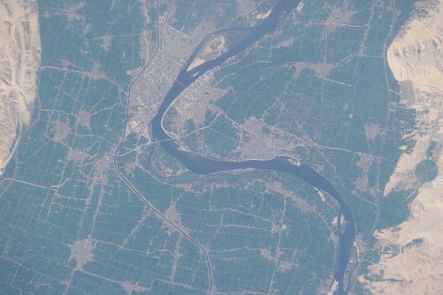
Qena ( ' , locally: ) is a city in Upper Egypt, and the capital of the Qena Governorate. Situated on the east bank of the Nile, it was known in antiquity as Kaine (Greek Καινή, meaning "new (city)"; Latinized transliteration: Caene) and Maximianopolis. Gauthier identifies Qena with ancient Shabt. Qena meaning in Arabic "very red" of fertile land. Overview This provincial capital is located about 95 km from El Balyana and 63 km north of Luxor. It is most famous for its proximity to the ruins of Dendara. It owes its modern prosperity to the opening of the Wadi Qena towards the Red Sea, which is a major traffic route between Upper Egypt and the Red Sea. Tourists traveling between Luxor and the Red Sea will assuredly pass through this city since there is only one good road connection. Qena is noted for its pottery. Qena is also known for its beautiful huge mountains and green nature. South Valley University has a campus in Qena. Qena is a large market town ... [...More Info...] [...Related Items...] OR: [Wikipedia] [Google] [Baidu] |
Port Said
Port Said ( , , ) is a port city that lies in the northeast Egypt extending about along the coast of the Mediterranean Sea, straddling the west bank of the northern mouth of the Suez Canal. The city is the capital city, capital of the Port Said Governorate, Port Said governorate and it forms the majority of the governorate, where its seven districts comprise seven of the governorate's eight regions. At the beginning of 2023 it had a population of 680,375 people. The city was established in 1859 during the building of the Suez Canal. There are numerous old houses with grand balconies on all floors, giving the city a distinctive look. Port Said's twin city is Port Fuad, which lies on the eastern bank of the Suez Canal. The two cities coexist, to the extent that there is hardly any town centre in Port Fuad. The cities are connected by free Ferry, ferries running all through the day, and together they form a metropolitan area with over a million residents that extends both on the ... [...More Info...] [...Related Items...] OR: [Wikipedia] [Google] [Baidu] |
New Valley Governorate
New Valley (or El Wadi El Gedid ( , )) is a governorate of Egypt. It is in the southwestern part of the country, in the south of Egypt Western Desert (part of the Sahara Desert), between the Nile, northern Sudan, and southeastern Libya. Comprising roughly half of Egypt's area, this governorate is the country's largest and most sparsely populated, and one of the largest country subdivisions in the world. The capital is Kharga. New Valley Governorate is named after the New Valley Project, which aims to irrigate parts of the Western Desert. Municipal divisions The governorate is divided into municipal divisions with a total estimated population, as of January 2024, a270,854 In the case of New Valley governorate, there is one kism with urban and rural parts, and four marakiz. In an effort to decentralize the administration of Kharga, it was divided into four sections effective 19 June 2018. Population According to population estimates, in 2015 the majority of residents i ... [...More Info...] [...Related Items...] OR: [Wikipedia] [Google] [Baidu] |
Monufia Governorate
Monufia ( ' ) is one of the governorates of Egypt. Monufia’s name was derived from the hieroglyphic word “Nafr”, which means “The Good Land”. It is located in the northern part of the country in the Nile Delta, to the south of Gharbia Governorate and to the north of Cairo. The governorate of Monufia is known for being the birthplace of four Egyptian presidents: Anwar Sadat, Hosni Mubarak, Adly Mansour, and Abdel Fattah el-Sisi. The governorate is named after Menouf, an ancient city which was the capital of the governorate until 1826. The current governor (as of 2018) is Said Mohammed Mohammed Abbas. Monufia Governorate is home to several prominent educational institutions. Chief among them is Menoufia University, established by presidential decree in 1976. Another major institution is Sadat City University, which was founded by a 2013 presidential decree after having previously functioned as a branch of Menoufia University. The region also hosts Al-Riyada University for ... [...More Info...] [...Related Items...] OR: [Wikipedia] [Google] [Baidu] |


