|
Telephone Numbers In Armenia
The following telephone numbers in Armenia are destination codes for international calls terminating in Armenia as well as the procedures for dialing internationally from within Armenia. Dialling plan The dialling plan is as below: Calling Armenia from abroad From abroad to Yerevan, regions, mobile network, Artsakh fixed telephone network and Artsakh mobile network: + 374 + Destination Code + Subscriber Number (to Yerevan, regions) + 374 + Mobile Network Code + Mobile Subscriber Number (to mobile network) + 374 + 47 + Subscriber Number (to Artsakh fixed telephone network) + 374 + 97 + Subscriber Number (to Artsakh mobile network) Calling from Armenia From Yerevan, regions, mobile network and Artsakh to abroad: 00 + Country Code + Destination Code + Subscriber Number Calls to North America from anywhere in Armenia receive a substantial discount if preceded by a special code specific to each Armenian pho ... [...More Info...] [...Related Items...] OR: [Wikipedia] [Google] [Baidu] |
Yerevan
Yerevan ( , , ; ; sometimes spelled Erevan) is the capital and largest city of Armenia, as well as one of the world's List of oldest continuously inhabited cities, oldest continuously inhabited cities. Situated along the Hrazdan River, Yerevan is the administrative, cultural, and industrial center of the country, as its primate city. It has been the Historical capitals of Armenia, capital since 1918, the Historical capitals of Armenia, fourteenth in the history of Armenia and the seventh located in or around the Ararat Plain. The city also serves as the seat of the Araratian Pontifical Diocese, which is the largest diocese of the Armenian Apostolic Church and one of the oldest dioceses in the world. The history of Yerevan dates back to the 8th century BC, with the founding of the fortress of Erebuni Fortress, Erebuni in 782 BC by King Argishti I of Urartu, Argishti I of Urartu at the western extreme of the Ararat Plain. Erebuni was "designed as a great administrative and reli ... [...More Info...] [...Related Items...] OR: [Wikipedia] [Google] [Baidu] |
Armavir, Armenia
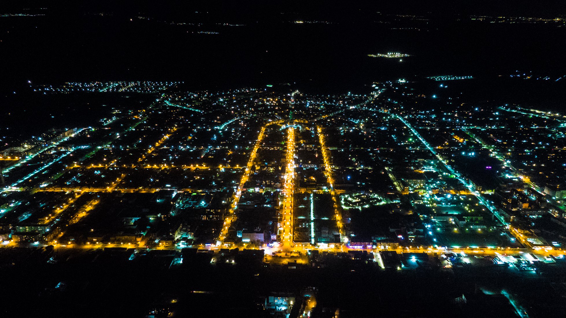
Armavir ( ), is a town and urban municipal community located in the west of Armenia serving as the administrative centre of Armavir Province. It was founded in 1931 by the government of the Armenian Soviet Socialist Republic. As of the 2011 census, the population of the town is 29,319, down from 46,900 as reported in the 1989 census. As of the 2022 census, the population of the town is 27,470. Currently, the town has a population of 38,495 as per the 2023 official estimate. The town was known as Sardarapat before 1935, and Hoktemberyan from 1935 to 1995. Currently, Armavir is the seat of the Diocese of Armavir of the Armenian Apostolic Church. Etymology Founded in 1931 as Sardarapat, the town was known as Hoktemberyan (meaning the ''city of October'') between 1935 and 1995, named in honor of the October Revolution. In 1992, the town was named Armavir by the government of independent Armenia, after the nearby ancient city of Armavir, that was founded in the 8th century BC b ... [...More Info...] [...Related Items...] OR: [Wikipedia] [Google] [Baidu] |
Stepanavan
Stepanavan () is a town and municipal community in the Lori Province of Armenia. It is located north of the capital Yerevan and north of the provincial centre Vanadzor, halfway between Yerevan and Tbilisi. As of the 2011 census, the population of the town is 13,086. Currently, the town has an approximate population of 10,800 as per the 2016 official estimate. As of the 2022 census, the population of the town is 11,982. Due to its location on the shores of Dzoraget River among the forest of Lori plateau and Bazum mountains, Stepanavan is considered a resort town in northern Armenia. Etymology Stepanavan was founded in 1810 as ''Jalaloghli'', literally meaning ''son of Jalal'' in Turkic languages. The name is derived from the Armenian noble family of House of Hasan-Jalalyan, Hasan-Jalalyan. A khachkar-memorial in the town testifies that the settlement was founded in 1810 by prince ''Davit Hasan-Jalalyan''. In 1923, Jalaloghli was renamed ''Stepanavan'', meaning ''town of Stepan' ... [...More Info...] [...Related Items...] OR: [Wikipedia] [Google] [Baidu] |
Spitak
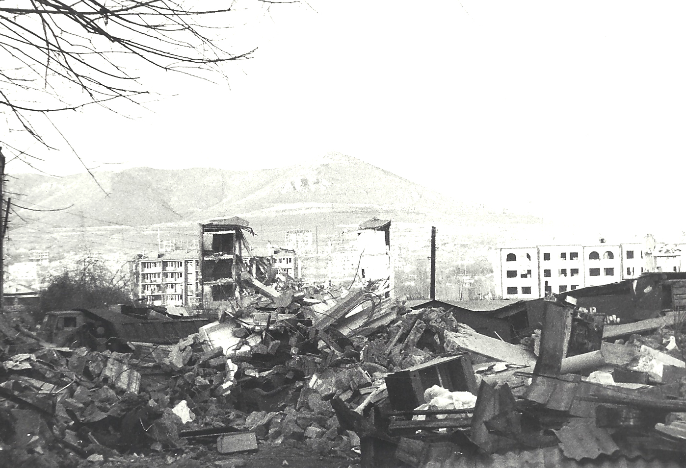
Spitak (), is a town and urban municipal community in the northern Lori Province of Armenia. It is north of the capital, Yerevan, and west of the provincial center, Vanadzor. Spitak was entirely destroyed during the devastating 1988 Armenian earthquake, and it was rebuilt in a slightly different location. Currently, the town has an approximate population of 11,000 as per the 2016 official estimate. Etymology ''Spitak'', meaning ''white'' in Armenian because of the presence of white limestone rocks in the area. The word ''spitak'' itself derives from Middle Persian ''spēdag'' (compare Parthian ''ispēd''). History The area of modern-day Spitak was probably inhabited since the 4th millennium BC, based on ancient settlements found on the surrounding hills. Many remnants are found on the ''Sardar hill'' dating back to the Bronze Age. Later, the region was included within the kingdom of Urartu during the 7th century BC. Between the 4th and 2nd centuries BC, the region was par ... [...More Info...] [...Related Items...] OR: [Wikipedia] [Google] [Baidu] |
Tashir
Tashir () is a town and urban municipal community located in Lori Province at the north of Armenia. It is located north of the provincial centre Vanadzor and north of the capital Yerevan. As per the January 2023 official estimate, the population of Tashir was around 7,300. Etymology Tashir was first mentioned by the Armenian historian Movses Khorenatsi in his 5th-century monumental work ''History of Armenia'' as one of the cantons of the lords of Gugark. History Historically, the area of modern-day Tashir was included in the Tashir canton of the historical Gugark province, the 13th province of Greater Armenia. With the Arab invasion of Armenia in 654, the region was granted to the Bagratid dynasty, who founded the Bagratid Kingdom of Armenia later in 885. It was the location of a major battle in 1040, part of the Shaddadid–Armenian wars. The region became a prominent centre of the Armenian culture and scholars under the rule of the Zakarid princes of Armenia. How ... [...More Info...] [...Related Items...] OR: [Wikipedia] [Google] [Baidu] |
Alaverdi, Armenia
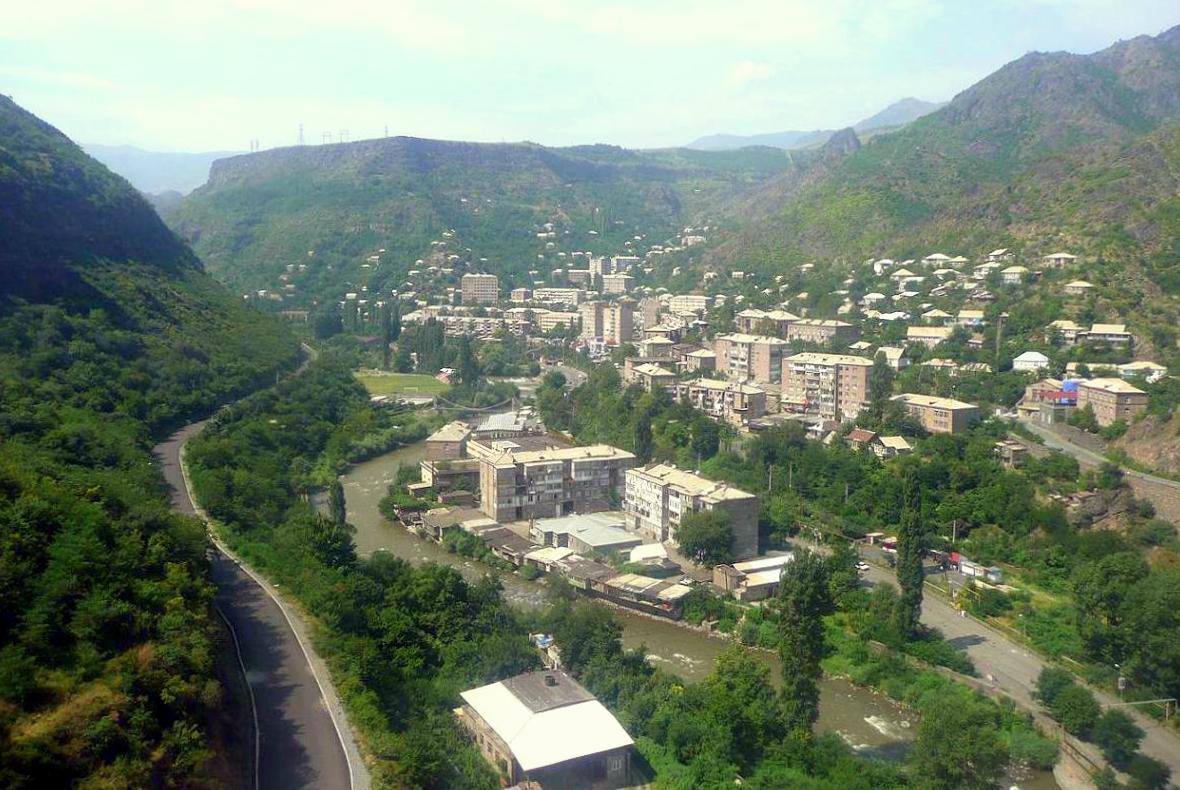
Alaverdi (, , Greek language, Greek: Αλαβερντί), is a town and municipal community in the Lori Province at the northeastern part of Armenia, near the Armenia–Georgia border, border with Georgia (country), Georgia. It is located at the only direct rail link between Armenia and Georgia. Situated at the bottom of the Debed river gorge, Alaverdi is an important commercial and industrial centre in northern Armenia. As of the 2022 census, the population of the town is 12,152, down from 12,243 reported in 2011 and 26,300 reported in 1989. Currently, the town has an approximate population of 11,000 as per the 2016 official estimate. Etymology Historically, the area around Alaverdi was known as Manasgomer or Manits Gom during the medieval period. Starting from the 17th century, the settlement became known as Alaverdi, derived from the name of a 17th-century Turkic ''Borçalı'' tribe leader ''Allahverdi Mollaoğlu Tarkhan''. However, Alaverdi was formed as a settlement known ... [...More Info...] [...Related Items...] OR: [Wikipedia] [Google] [Baidu] |
Aparan
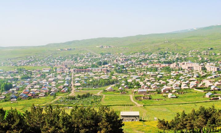
Aparan ( , colloquially ) is a town in the Aparan Municipality of the Aragatsotn Province of Armenia, about 50 kilometers northwest of the capital Yerevan. As of the 2011 census, the population of the town was 6,451. As per the 2016 official estimate, Aparan had a population of around 5,300. As of the 2022 census, the population of the town was 5,803. Etymology It is commonly believed that the name of Aparan is derived from the Armenian word ''Aparank'', meaning a royal palace. However, throughout history, the town has been known by different names including ''Kasagh'', ''Paraznavert'', ''Abaran'' and ''Abaran Verin''. Later, it was known as ''Bash Aparan'' () until 1935, when the name was finally changed to Aparan. History Early history and Middle Ages In Ancient history, antiquity, the region of Aparan was known as ''Nig'' or ''Nigatun''. The first reference to the town of Aparan was made by Ptolemy during the 2nd century. Ptolemy referred to the settlement as ''Casala''; the ... [...More Info...] [...Related Items...] OR: [Wikipedia] [Google] [Baidu] |
Amasia, Shirak
Amasia (), previously known as Hamasia, is a village in the Amasia Municipality of the Shirak Province of Armenia. It is located on the right bank of the Akhuryan River. Name Amasia's name is traditionally connected with the name of Amasia Haykazuni, a great-grandson of Hayk, the legendary progenitor of the Armenians. History Historically, the area that Amasia is located in was a part of the canton of Ashotsk of the province of Gugark of the ancient Kingdom of Armenia. Approximately two kilometers to the northwest of the village is a ruined ancient fortress built in Cyclopean style that the villagers refer to as ''Chatin Dara'', dated to approximately the 3–2 millennia BCE.'''' Two kilometers to the west of the village is an abandoned settlement that the villagers call ''Kharabalar'' (from Turkish ''Harabeler'', or "Ruins") which according to folk tradition was inhabited by Greeks. There are also a number of medieval Armenian churches in the area around the village. Most ... [...More Info...] [...Related Items...] OR: [Wikipedia] [Google] [Baidu] |
Ashotsk
Ashotsk () is a village in the Ashotsk Municipality of the Shirak Province of Armenia. The Statistical Committee of Armenia The Statistical Committee of Armenia (), or ArmStat in short, is the national statistical agency of Armenia. History The statistical institution started its main activities on 7 January 1922 and was previously known as the Statistical Departme ... reported its population was 2,482 in 2010, up from 2,378 at the 2001 census. Demographics Notable People * Artur Yeghoyan, Olympic cross-country skier References Communities in Shirak Province Populated places in Shirak Province {{Shirak-geo-stub ... [...More Info...] [...Related Items...] OR: [Wikipedia] [Google] [Baidu] |
Pemzashen
Pemzashen () is a village in the Artik Municipality of the Shirak Province of Armenia Armenia, officially the Republic of Armenia, is a landlocked country in the Armenian Highlands of West Asia. It is a part of the Caucasus region and is bordered by Turkey to the west, Georgia (country), Georgia to the north and Azerbaijan to .... During the Soviet era a sewing factory, construction materials plant, and a parts factory to supply hydro-electric stations were based out of Pemzashen. After the collapse of the USSR, most of the village's residents have found themselves out of work and many of the men have moved to Russia to find jobs. In the past 15 years, over 300 families have moved away from the village. There is also the problem of a lack of irrigation water for crops or household gardens, and the land around the village is not flat or fertile (due to no irrigation). Plans are currently underway to put in an irrigation system. In the middle of village is a 7th-century ch ... [...More Info...] [...Related Items...] OR: [Wikipedia] [Google] [Baidu] |
Artik
Artik () is a town in the Artik Municipality of the Shirak Province of Armenia. As of the 2011 census, the town had a population of 19,534. As per the 2016 official estimate, the population of Artik was around 18,800. As of the 2022 census, the town had a population of 17,647. Artik is famous for its tufa stones, mainly the pink and rosy colored tufa. It is the main centre of tufa and travertine production in Armenia. Etymology According to an 11th-century inscription found in Lmbatavank monastery of Artik, the town was known as Hartk () during the Middle Ages. It was later known as Ardik (), Ardik' () and Artik (). According to locals, the name consists of 2 parts: ''Ar'' derived from ''Mount Aragats'', and ''tik'' meaning ''leaning'' in Armenian. Thus, the name ''Artik'' most probably means ''leaning on Aragats''. History According to archaeological excavations conducted during 1960 in the territory of modern-day Artik, it was revealed that the area has been settled since the ... [...More Info...] [...Related Items...] OR: [Wikipedia] [Google] [Baidu] |
Maralik
Maralik () is a town in the Ani Municipality of the Shirak Province at the northwest of Armenia. As of the 2011 census, the population of the town is 5,398, down from 5,782 reported in the 2001 census. The 2016 official estimate, the population of Maralik is around 5,500. As of the 2022 census, the population of the town is 5,334. Etymology ''Maralik'' literally means ''little deer'' in the Armenian language. According to a local traditional legend, every year on the feast of Saint Stephen, a mountain deer was willingly approaching to the Saint Stephen Monastery of the town to be sacrificed. The villagers were catching the deer and sacrificing it in honor of Saint Stephen. However, once a hunter killed the deer with his rifle. Since then, no more deer were seen in the area. Maral and Maralik are common feminine names in the Armenian diaspora. History Historically, Maralik has been part of the ''Shirak canton'' of the ancient Ayrarat province of Greater Armenia. During the reign ... [...More Info...] [...Related Items...] OR: [Wikipedia] [Google] [Baidu] |


