|
Tadmarton
Tadmarton is a village and civil parish about west of Banbury, Oxfordshire. The 2011 Census recorded the parish's population as 541, which is a 26% increase on the figure of 430 recorded by the 2001 Census. Manor The manor house has a 15th-century barn, believed to have been built for Abingdon Abbey. Parish church The Church of England parish church of Saint Nicholas is early Norman. The building was enlarged and the bell tower added in the 13th century. The church is a Grade I listed building. The tower has a ring of six bells. Four were originally cast early in the 17th century, but two of these were re-cast in 1923 and 1939. A fifth bell was added in 1761 and the treble was added in 1947. Air crash On 31 May 1944 a Vickers Wellington B Mk III bomber aircraft, BK157 of No. 12 Operational Training Unit RAF based at Chipping Warden in Northamptonshire, was on a training flight over north Oxfordshire when the pilot, F/O Donald Driver, DFM, made an evasive diving ... [...More Info...] [...Related Items...] OR: [Wikipedia] [Google] [Baidu] |
Pyrton
Pyrton is a small village and large civil parish in Oxfordshire about north of the small town of Watlington and south of Thame. The 2011 Census recorded the parish's population as 227. The toponym is from the Old English meaning "pear-tree farm". Archaeology In 1957 a late Iron Age cremation burial from the first half of the 1st century was discovered on Pyrton Heath. The burial pit contained two Belgic butt beakers, a bowl and a dish. The smaller of the beakers contained cremated human remains and fragments of a bronze brooch. The finder donated all the items to the Ashmolean Museum in Oxford. Strip parish The ancient Icknield Way passes through the parish, where it is crossed by the Medieval Knightsbridge Lane that runs the length of the parish, which is the eighth largest of a district of 87 civil parishes. Pyrton is a strip parish. The ancient parish comprised two detached portions extending about between Standhill Farm near Little Haseley and Stonor in the Chil ... [...More Info...] [...Related Items...] OR: [Wikipedia] [Google] [Baidu] |
Cherwell District
Cherwell ( ) is a local government district in northern Oxfordshire, England. The district takes its name from the River Cherwell, which drains south through the region to flow into the River Thames at Oxford. Towns in Cherwell include Banbury and Bicester. Kidlington is a contender for largest village in England. The district was formed on 1 April 1974, under the Local Government Act 1972, by a merger of the municipal borough of Banbury, Bicester urban district, Banbury Rural District and Ploughley Rural District. Geography The Northern half of the Cherwell district consists mainly of soft rolling hills going down towards the River Cherwell, but the southern half of the district around Bicester is much flatter. Much of the district is soft rolling hills with the northwest of the district lying at the northern extremity of the Cotswolds. Transport Much of the district is within easy reach of the M40, with junctions 9, 10 and 11 in the district. It also has good ... [...More Info...] [...Related Items...] OR: [Wikipedia] [Google] [Baidu] |
United Kingdom Census 2011
A Census in the United Kingdom, census of the population of the United Kingdom is taken every ten years. The 2011 census was held in all countries of the UK on 27 March 2011. It was the first UK census which could be completed online via the Internet. The Office for National Statistics (ONS) is responsible for the census in England and Wales, the General Register Office for Scotland (GROS) is responsible for the census in Scotland, and the Northern Ireland Statistics and Research Agency (NISRA) is responsible for the census in Northern Ireland. The Office for National Statistics is the executive office of the UK Statistics Authority, a non-ministerial department formed in 2008 and which reports directly to Parliament. ONS is the UK Government's single largest statistical producer of independent statistics on the UK's economy and society, used to assist the planning and allocation of resources, policy-making and decision-making. ONS designs, manages and runs the census in England an ... [...More Info...] [...Related Items...] OR: [Wikipedia] [Google] [Baidu] |
Public House
A pub (short for public house) is a kind of drinking establishment which is licensed to serve alcoholic drinks for consumption on the premises. The term ''public house'' first appeared in the United Kingdom in late 17th century, and was used to differentiate private houses from those which were, quite literally, open to the public as "alehouses", " taverns" and " inns". By Georgian times, the term had become common parlance, although taverns, as a distinct establishment, had largely ceased to exist by the beginning of the 19th century. Today, there is no strict definition, but CAMRA states a pub has four characteristics:GLA Economics, Closing time: London's public houses, 2017 # is open to the public without membership or residency # serves draught beer or cider without requiring food be consumed # has at least one indoor area not laid out for meals # allows drinks to be bought at a bar (i.e., not only table service) The history of pubs can be traced to Roman taverns ... [...More Info...] [...Related Items...] OR: [Wikipedia] [Google] [Baidu] |
Wick, Caithness
Wick ( gd, Inbhir Ùige (IPA: �inivɪɾʲˈuːkʲə, sco, Week) is a town and royal burgh in Caithness, in the far north of Scotland. The town straddles the River Wick and extends along both sides of Wick Bay. "Wick Locality" had a population of 6,954 at the time of the 2011 census, a decrease of 3.8% from 2001. Pulteneytown, which was developed on the south side of the river by the British Fisheries Society during the 19th century, was officially merged into the burgh in 1902. Elzy was described as on the coast a couple of miles east of Wick in 1836. The town is on the main road (the A99– A9 road) linking John o' Groats with southern Britain. The Far North railway line links Wick railway station with southern Scotland and with Thurso, the other burgh of Caithness. Wick Airport is on Wick's northern outskirts. The airport has two usable runways. A third is derelict. The main offices of '' The John O'Groat Journal'' and ''The Caithness Courier'' are located in Wick, a ... [...More Info...] [...Related Items...] OR: [Wikipedia] [Google] [Baidu] |
Titchfield
Titchfield is a village in southern Hampshire, by the River Meon. The village has a history stretching back to the 6th century. During the medieval period, the village operated a small port and market. Near to the village are the ruins of Titchfield Abbey, a place with strong associations with Shakespeare, through his patron, the Earl of Southampton. Geography To the east of Titchfield lies the town of Fareham, to the south are Stubbington, Hill Head and the Solent, to the west is Locks Heath, Warsash, the River Hamble and Southampton and to the north is Whiteley, Park Gate and Swanwick. Titchfield forms part of the Borough of Fareham, having been added to the Fareham urban district in 1932.Fareham Borough Council: Titchfield Accessed 26-11-08 Several miles to the south of the ... [...More Info...] [...Related Items...] OR: [Wikipedia] [Google] [Baidu] |
Huntly
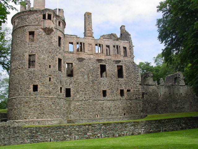
Huntly ( gd, Srath Bhalgaidh or ''Hunndaidh'') is a town in Aberdeenshire, Scotland, formerly known as Milton of Strathbogie or simply Strathbogie. It had a population of 4,460 in 2004 and is the site of Huntly Castle. Its neighbouring settlements include Keith and Rothiemay. Both Huntly and the surrounding district of Gordon are named for a town and family that originated in the Border country. Huntly is the historic home of the Gordon Highlanders regiment which traditionally recruited throughout the North-East of Scotland. Huntly has a primary school (Gordon Primary) and a secondary school ( The Gordon Schools) beside Huntly Castle. It is the home of the Deans bakers, which produce shortbread biscuits. In November 2007, Deans of Huntly opened their new visitor centre. Four of the owls from the local falconry centre starred in the Harry Potter films. History Settlement around the confluence of the Bogie and Deveron rivers dates back to the Neolithic period. Settle ... [...More Info...] [...Related Items...] OR: [Wikipedia] [Google] [Baidu] |
Hounslow
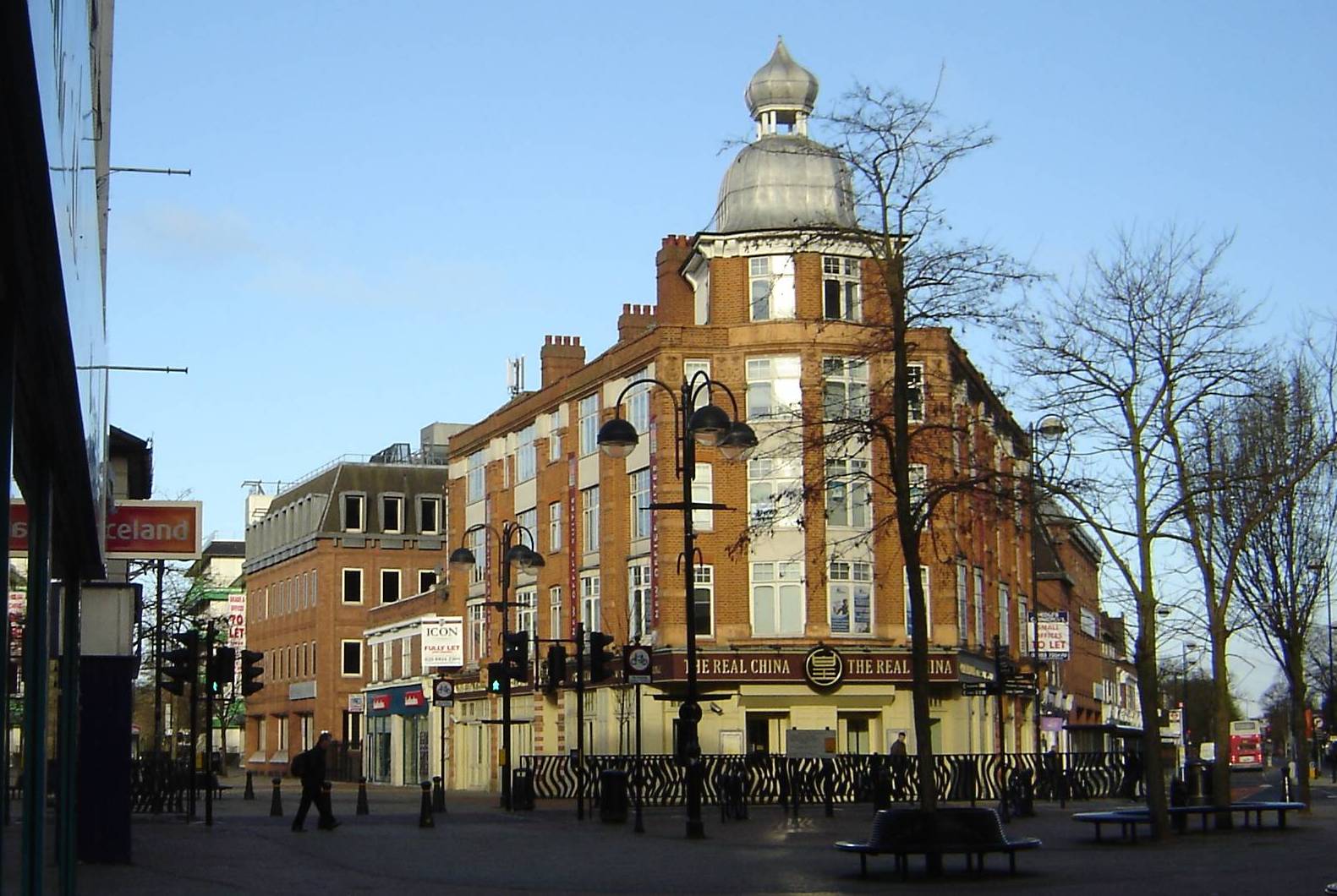
Hounslow () is a large suburban district of West London, west-southwest of Charing Cross. It is the administrative centre of the London Borough of Hounslow, and is identified in the London Plan as one of the 12 metropolitan centres in Greater London. It is bounded by Isleworth to the east, Twickenham to its south, Feltham to its west and Southall to its north. Hounslow includes the districts of Hounslow West, Heston, Cranford and Heathrow. Although most of the district lay within the London Borough of Hounslow, some parts fall within the London Borough of Richmond upon Thames and the London Borough of Hillingdon including Heathrow Airport. Most of Hounslow, including its Town Centre, the area south of the railway station and the localities of Lampton and Spring Grove, falls under the TW3 postcode. The TW4 postcode is made up of Hounslow West and parts of Cranford, whilst the TW5 postcode includes Heston and Cranford. Heathrow Airport and parts of Hatton co ... [...More Info...] [...Related Items...] OR: [Wikipedia] [Google] [Baidu] |
Downpatrick
Downpatrick () is a town in County Down, Northern Ireland. It is on the Lecale peninsula, about south of Belfast. In the Middle Ages, it was the capital of the Dál Fiatach, the main ruling dynasty of Ulaid. Its cathedral is said to be the burial place of Saint Patrick. Today, it is the county town of Down and the joint headquarters of Newry, Mourne and Down District Council. Downpatrick had a population of 10,822 according to the 2011 Census. History Pre-history An early Bronze Age site was excavated in the Meadowlands area of Downpatrick, revealing two roundhouses, one was four metres across and the other was over seven metres across. Archaeological excavations in the 1950s found what was thought to be a Bronze Age hillfort on Cathedral Hill, but further work in the 1980s revealed that this was a much later rampart surrounding an early Christian monastery. Early history Downpatrick (''Dún Pádraig'') is one of Ireland's oldest towns. It takes its name from a '' ... [...More Info...] [...Related Items...] OR: [Wikipedia] [Google] [Baidu] |
Commonwealth War Graves Commission
The Commonwealth War Graves Commission (CWGC) is an intergovernmental organisation of six independent member states whose principal function is to mark, record and maintain the graves and places of commemoration of Commonwealth of Nations military service members who died in the two World Wars. The commission is also responsible for commemorating Commonwealth civilians who died as a result of enemy action during the Second World War. The commission was founded by Sir Fabian Ware and constituted through Royal Charter in 1917 as the Imperial War Graves Commission. The change to the present name took place in 1960. The commission, as part of its mandate, is responsible for commemorating all Commonwealth war dead individually and equally. To this end, the war dead are commemorated by a name on a headstone, at an identified site of a burial, or on a memorial. War dead are commemorated uniformly and equally, irrespective of military or civil rank, race or creed. The commission ... [...More Info...] [...Related Items...] OR: [Wikipedia] [Google] [Baidu] |
Royal Air Force Volunteer Reserve
The Royal Air Force Volunteer Reserve (RAFVR) was established in 1936 to support the preparedness of the U.K. Royal Air Force in the event of another war. The Air Ministry intended it to form a supplement to the Royal Auxiliary Air Force (RAuxAF), the active reserve for the RAF, by providing an additional non-active reserve. However during the Second World War the high demand for aircrew absorbed all available RAuxAF personnel and led the RAFVR to quickly become the main pathway of aircrew entry into the RAF. It was initially composed of civilians recruited from neighbourhood reserve flying schools, run by civilian contractors with largely RAF-trained flying instructors as well as other instructors in related air war functions, such as observers and wireless operators. After the war, and with the end of conscription in the early 1960s, the RAFVR considerably reduced in size and most functions were absorbed into the RAuxAF. The RAFVR now forms the working elements of the Universit ... [...More Info...] [...Related Items...] OR: [Wikipedia] [Google] [Baidu] |
Port And Starboard
Port and starboard are nautical terms for watercraft and aircraft, referring respectively to the left and right sides of the vessel, when aboard and facing the bow (front). Vessels with bilateral symmetry have left and right halves which are mirror images of each other. One asymmetric feature is where access to a boat, ship, or aircraft is at the side, it is usually only on the port side (hence the name). Side Port and starboard unambiguously refer to the left and right side of the vessel, not the observer. That is, the port side of the vessel always refers to the same portion of the vessel's structure, and does not depend on which way the observer is facing. The port side is the side of the vessel which is to the left of an observer aboard the vessel and , that is, facing forward towards the direction the vehicle is heading when underway, and starboard side is to the right of such an observer. This convention allows orders and information to be given unambiguously, wi ... [...More Info...] [...Related Items...] OR: [Wikipedia] [Google] [Baidu] |


.jpg)