|
Sursilvan Dialects (Romansh)
Sursilvan (; also ''romontsch sursilvan'' ; Sursilvan, Vallader, Surmiran, Sutsilvan, and Rumantsch Grischun: ''sursilvan''; Puter: ''sursilvaun'') is a group of dialects of the Romansh language spoken in the Swiss district of Surselva. It is the most widely spoken variety of Romansh with 17,897 people within the Surselva District (54.8%) naming Romansh as a habitually spoken language in the Swiss census of 2000. The most closely related variety is Sutsilvan, which is spoken in the area located to the east of the district. The name of the dialect and the Surselva District is derived from 'above' and 'forest', with the forest in question being the ''Uaul Grond'' in the area affected by the Flims Rockslide. The word itself has fallen out of use in modern Sursilvan, with the most common word for forest being , an Old High German loanword. is only used for in a few more recent terms such as 'forestry', 'forest officer', or 'Long-eared owl'. Distribution Sursilvan is use ... [...More Info...] [...Related Items...] OR: [Wikipedia] [Google] [Baidu] |
Surselva Region
Surselva Region is one of the eleven administrative districts in the canton of Graubünden in Switzerland. It was created on 1 January 2017 as part of a reorganization of the canton.Swiss Federal Statistical Office – Amtliches Gemeindeverzeichnis der Schweiz – Mutationsmeldungen 2016 accessed 16 February 2017 Surselva Region has an area of , with a population of as of .. It corresponds exactly to its predecessor, Surselva District, but the former subdistricts (''Kreise'') of Disentis, Ilanz, Lumnezia/Lugnez, Ruis and Safien have been abandoned. ''Surselva'' ("above the forest") is the name of the valley ... [...More Info...] [...Related Items...] OR: [Wikipedia] [Google] [Baidu] |
Obersaxen
Obersaxen ( rm, Sursaissa) is a former municipality in the district of Surselva in the Swiss canton of Graubünden. On 1 January 2016 the former municipalities of Obersaxen and Mundaun merged to form the new municipality of Obersaxen Mundaun. History Obersaxen is first mentioned in 765 as ''Supersaxa'' though this is from a copy which dates from later. In 956 it was mentioned as ''Supersaxa'', and in 1227 as ''Ubersahse''. The current settlement was founded in the thirteenth century, when a group of German-speaking Walser settled the plateau. Right in the heart of the mainly Romansh-speaking Surselva (which encompasses the valley of the Vorderrhein, along with all of its side valleys, among others the Val Lumnezia), Obersaxen is an island of German-speakers. Geography Obersaxen had an area, , of . Of this area, 54.8% is used for agricultural purposes, while 23.4% is forested. Of the rest of the land, 2% is settled (buildings or roads) and the remainder (19.8%) is non-p ... [...More Info...] [...Related Items...] OR: [Wikipedia] [Google] [Baidu] |
Duvin
Duvin (german: Duvin ), rm, Duin ) is a former municipality in the district of Surselva in the Swiss canton of Graubünden. On 1 January 2014 the former municipalities of Duvin, Castrisch, Ilanz, Ladir, Luven, Pitasch, Riein, Ruschein, Schnaus, Sevgein, Pigniu, Rueun and Siat merged into the new municipality of Ilanz/Glion.Nomenklaturen – Amtliches Gemeindeverzeichnis der Schweiz accessed 13 December 2014 History Duvin is first mentioned about 840 as ''Auna''. In 1290 it was mentioned as ''Aiuns''.Geography Before the merger, Duvin had a total area of . Of this area, 22% is used for agricultural purposes, while 40% is forested. Of the rest of the ...[...More Info...] [...Related Items...] OR: [Wikipedia] [Google] [Baidu] |
Surcuolm
Surcuolm is a village in the municipality of Mundaun in the district of Surselva in the canton of Graubünden in Switzerland. In 2009 Surcuolm merged with Flond to form the municipality of Mundaun.Amtliches Gemeindeverzeichnis der Schweiz published by the Swiss Federal Statistical Office accessed 23 September 2009 History Surcuolm is first mentioned in the 18th Century as ''Neukirch'' which was the official name until 1943.Geography [...More Info...] [...Related Items...] OR: [Wikipedia] [Google] [Baidu] |
Castrisch
Castrisch () is a former municipality in the district of Surselva in the Swiss canton of Graubünden. Until 1943, it was officially known as Kästris. On 1 January 2014 the former municipalities of Castrisch, Ilanz, Ladir, Luven, Pitasch, Riein, Ruschein, Schnaus, Sevgein, Duvin, Pigniu, Rueun and Siat merged into the new municipality of Ilanz/Glion.Nomenklaturen – Amtliches Gemeindeverzeichnis der Schweiz accessed 13 December 2014 History Castrisch is first mentioned in 765 as ''Castrices''.Geography Before the merger, Castrisch had a total area of . Of this area, 40.8% is used for agricultural purposes, while 51.3% is forested. Of the rest of the land, 3. ...[...More Info...] [...Related Items...] OR: [Wikipedia] [Google] [Baidu] |
Ilanz
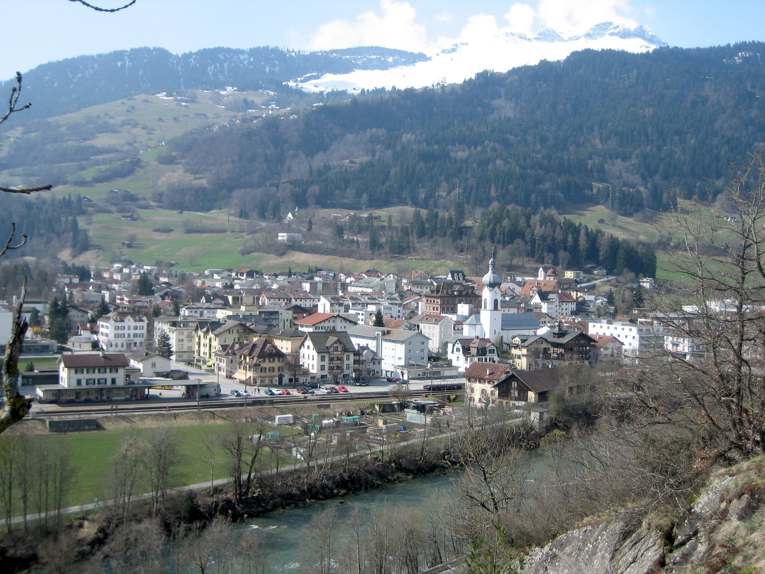
Ilanz ( rm, Glion) is a former municipality in the district of Surselva in the Swiss canton of Graubünden. The former municipality of Ilanz was congruent with the town of Ilanz. On 1 January 1978, the former municipality of Strada merged into the new municipality of Ilanz. On 1 January 2014, the municipality of Ilanz and the surrounding municipalities Castrisch, Ladir, Luven, Pitasch, Riein, Ruschein, Schnaus, Sevgein, Duvin, Pigniu, Rueun and Siat merged into the new municipality of Ilanz/Glion. History Ilanz is first mentioned in 765 as "''Iliande''." Ilanz became the capital of the newly formed Grey League in 1395. The Grey League was the second of the Three Leagues which eventually formed canton Graubünden. Johannes von Ilanz, the Abbot of Disentis, was among the three nobles instrumental in creating this "eternal alliance." Ilanz has a special place in the history of the Protestant Reformation. In the 1520s, the Diet of Ilanz declared that citizens of the Three League ... [...More Info...] [...Related Items...] OR: [Wikipedia] [Google] [Baidu] |
Schnaus
Schnaus is a former municipality in the district of Surselva in the Swiss canton of Graubünden. On 1 January 2014 the former municipalities of Schnaus, Castrisch, Ilanz, Ladir, Luven, Pitasch, Riein, Ruschein, Sevgein, Duvin, Pigniu, Rueun and Siat merged into the new municipality of Ilanz/Glion.Nomenklaturen – Amtliches Gemeindeverzeichnis der Schweiz accessed 13 December 2014 History Schnaus is first mentioned about 840 as ''Scanaues''.Geography Before the merger, Schnaus had a total area of . Of this area, 58.4% is used for agricultural purposes, while 30.9% is forested. Of the rest of the land, 2.3% is settled (buildings or roads) and the remain ...[...More Info...] [...Related Items...] OR: [Wikipedia] [Google] [Baidu] |
Laax
Laax ( rm, Lags) is a municipality in the Surselva Region in the Swiss canton of Graubünden. History Laax is first mentioned c. 1290–98 as ''Lags''. Geography Laax has an area, , of . Of this area, 35.8% is used for agricultural purposes, while 30.6% is forested. Of the rest of the land, 3.6% is settled (buildings or roads) and the remainder (29.9%) is non-productive (rivers, glaciers or mountains). Before 2017, the municipality was located in the Ilanz sub-district of the Surselva district, after 2017 it was part of the Surselva Region. accessed 16 February 2017 The municipality of Laax stretches from the village its ... [...More Info...] [...Related Items...] OR: [Wikipedia] [Google] [Baidu] |
Trin
Trin is a municipality in the Imboden Region in the Swiss canton of Graubünden. Crestasee is located in Trin. History Trin is first mentioned in the 12th Century as ''Turunnio''. Geography Trin is perched on the mountain-side above the Rhine valley on the road between Domat/Ems and Flims. The village of Mulin (also in the municipality) is at the foot of the slope on the edge of the valley. Trin has an area, , of . Of this area, 33.2% is used for agricultural purposes, while 24.3% is forested. Of the rest of the land, 1.7% is settled (buildings or roads) and the remainder (40.8%) is non-productive (rivers, glaciers or mountains). Before 2017, the municipality was located in the Trins sub-district of the Imboden district, after 2017 it was part of the Imboden Region. It consists of the villages of Trin, Digg and Mulin. Until 1943 Trin was known as Trins. [...More Info...] [...Related Items...] OR: [Wikipedia] [Google] [Baidu] |
Domat/Ems
Domat/Ems ( rm, Domat ; german: Ems) is a municipality in the Imboden Region in the Swiss canton of Graubünden. History Domat/Ems is first mentioned in 765 as ''colonia de Amede''. Ems is the German name for the municipality, Domat is the Romansh name and since 1943 the official name has been the combination of both. Geography Domat/Ems has an area, , of . Of this area, 27.7% is used for agricultural purposes, while 53.8% is forested. Of the rest of the land, 12.2% is settled (buildings or roads) and the remainder (6.4%) is non-productive (rivers, glaciers or mountains). Before 2017, the municipality was located in the Rhäzüns sub-district, of the Imboden district, after 2017 it was part of the Imboden Region. It is located on the right bank of the Rhine river. Until 1943 Domat/Ems was known as Ems. [...More Info...] [...Related Items...] OR: [Wikipedia] [Google] [Baidu] |
Rhäzüns
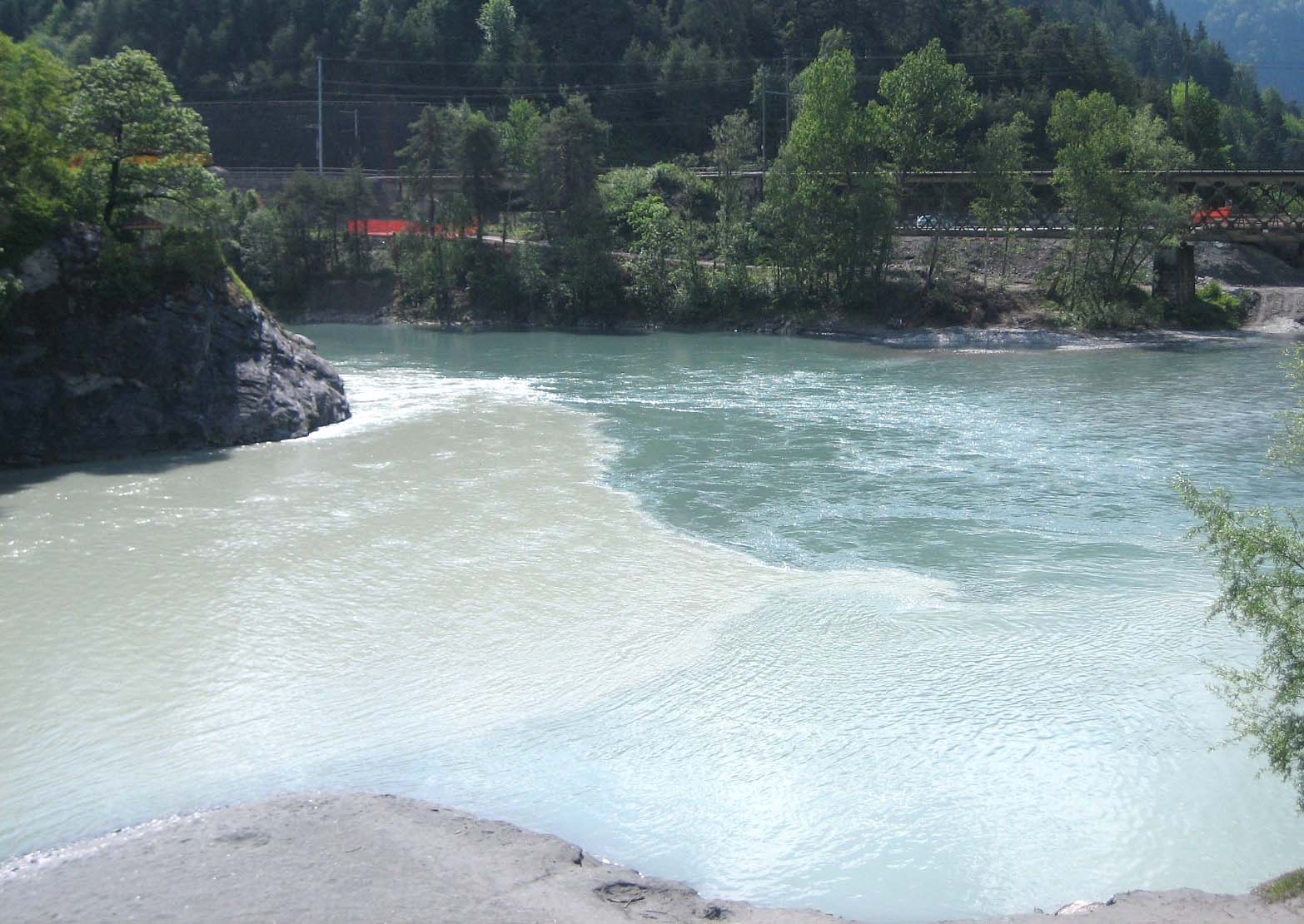
Rhäzüns is a municipality in the Imboden Region in the Swiss canton of Grisons. History Rhäzüns is first mentioned about 840 as ''Raezunne''. It formed a single parish with Bonaduz until the Reformation. It was part of the Grey League from 1424. It was acquired by the House of Habsburg in 1497 but remained part of the Three Leagues for the purposes of jurisdiction. In the Treaty of Schönbrunn (1809), the Habsburg Monarchy ceded the lordship of Rhäzüns to France. It reverted to Habsburg after the defeat of Napoleon in 1814, but was assigned to Grisons in the Vienna Congress of 1815 (article 78). The transition of administrative power to Grisons, as a canton of the restored Swiss Confederacy, became effective only on 19 January 1819. Geography Rhäzüns lies on the Hinterrhein, shortly before its confluence with the Vorderrhein. Rhäzüns has an area, , of . Of this area, 23.3% is used for agricultural purposes, while 69.1% is forested. Of the rest of the land, 4.2% ... [...More Info...] [...Related Items...] OR: [Wikipedia] [Google] [Baidu] |
Bonaduz
Bonaduz ( rm, Panaduz) is a municipality in the Imboden Region in the Swiss canton of Graubünden. History Bonaduz is first mentioned in 960 as ''Beneduces''. Until 1854, the German-speaking hamlet of Sculms belonged to Bonaduz. Following a vote in that year, Sculms joined Versam. Geography Bonaduz has an area, , of . Of this area, 25.2% is used for agricultural purposes, while 61.3% is forested. Of the rest of the land, 7.3% is settled (buildings or roads) and the remainder (6.2%) is non-productive (rivers, glaciers or mountains). Until 2017 the municipality was located in the Rhäzüns sub-district, of the Imboden district, after 2017 it became part of the Imboden Region. [...More Info...] [...Related Items...] OR: [Wikipedia] [Google] [Baidu] |


