|
Stockton–Los Angeles Road
The Stockton–Los Angeles Road, also known as the Millerton Road, Stockton–Mariposa Road, Stockton–Fort Miller Road or the Stockton–Visalia Road, was established about 1853 following the discovery of gold on the Kern River in Old Tulare County. This route between Stockton, California, Stockton and Los Angeles followed by the Stockton–Los Angeles Road (except that between Stockton and Davis's Ferry on the Tuolumne River) is described in "Itinerary XXI. From Fort Yuma to Benicia, California", in ''The Prairie Traveler: A Hand-book for Overland Expeditions'' by Randolph Barnes Marcy. The Itinerary was derived from the report of Lieutenant R. S. Williamson on his topographical survey party in 1853, that was in search of a railroad route through the interior of California. Southern route to the Goldfields Transportation and commerce to the northern part of California from Southern California prior to 1849 was carried north along the coast via El Camino Real (California), El Cam ... [...More Info...] [...Related Items...] OR: [Wikipedia] [Google] [Baidu] |
Kern River
The Kern River is an Endangered, Wild and Scenic river in the U.S. state of California, approximately long. It drains an area of the southern Sierra Nevada The Sierra Nevada ( ) is a mountain range in the Western United States, between the Central Valley of California and the Great Basin. The vast majority of the range lies in the state of California, although the Carson Range spur lies primari ... mountains northeast of Bakersfield, California, Bakersfield. Fed by snowmelt near Mount Whitney, the river passes through scenic canyons in the mountains and is a popular destination for whitewater rafting and kayaking. It is the southernmost major river system in the Sierra Nevada, and is the only major river in the Sierra that drains in a southerly direction. The Kern River formerly emptied into the now dry Buena Vista Lake and Kern Lake (Kern County), Kern Lake via the Kern River Slough, and Kern Lake in turn emptied into Buena Vista Lake via the Connecting Slough at t ... [...More Info...] [...Related Items...] OR: [Wikipedia] [Google] [Baidu] |
San Francisquito Canyon
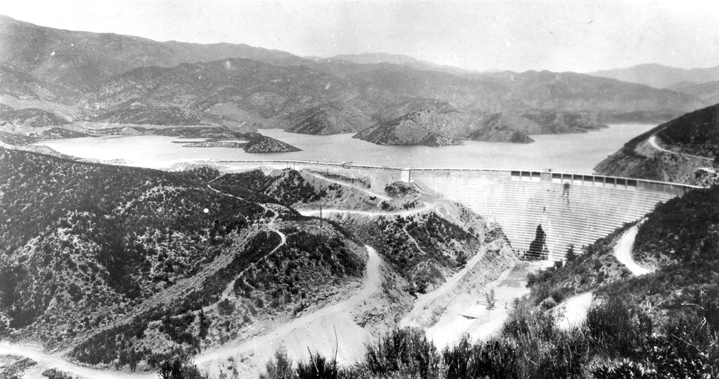
San Francisquito Canyon is a canyon created through erosion of the Sierra Pelona Mountains by the San Francisquito Creek, in Los Angeles County, Southern California. Geography The canyon cuts through the Sierra Pelona Mountains, which are central part of the Transverse Ranges system of California. At the San Francisquito Canyon head is the San Francisquito Pass, which the early routes between Los Angeles and the San Joaquin Valley crossed. The canyon grows wider as it approaches the Santa Clarita Valley. The middle and upper portions of this canyon fall within the Angeles National Forest. History Mining San Francisquito Canyon was the site of placer mining for gold by Spanish missionaries from the San Fernando and San Buenaventura Missions, and later by Mexican Californios. Their activity stopped in 1848, when the gold discovery at Sutter's Mill started the California Gold Rush. Placer mining later occurred in the canyon into at least the late 19th century. St. Francis Dam ... [...More Info...] [...Related Items...] OR: [Wikipedia] [Google] [Baidu] |
Cottonwood Creek (Kern County)
Cottonwood Creek, is a stream in Kern County, California. Its headwaters are located on the eastern slopes of the Tehachapi Mountains, near a spring 2 miles northwest of the Libre Twins peak. It flows east then southeast into Antelope Valley in the western Mojave Desert. History A Spanish and later Mexican road from Pueblo de Los Angeles crossed the Antelope Valley from Elizabeth Lake to Cottonwood Creek that then followed the creek up to the point where it crossed the Tehachapi Mountains at '' Puerto el Tejon'' (Tejon Pass), then following Tejon Creek down into the San Joaquin Valley. Along and south of this creek Rancho El Tejon was established in 1843. Later Gold Rush 49ers, later emigrants, and teamsters followed this route to the gold fields. In 1854, wagon traffic changed to the easier Grapevine route which became the Stockton - Los Angeles Road and the ''Old Tejon Pass'' route was gradually abandoned for the route through Fort Tejon Pass. See also * *Cottonwood ... [...More Info...] [...Related Items...] OR: [Wikipedia] [Google] [Baidu] |
Antelope Valley
The Antelope Valley is a valley primarily located in northern Los Angeles County, California, United States and the southeast portion of Kern County, California, Kern County, and constitutes the western tip of the Mojave Desert. It is situated between the Tehachapi Mountains, Tehachapi, Sierra Pelona Mountains, Sierra Pelona, and the San Gabriel Mountains. The valley was named for the pronghorns that roamed there until they were all eliminated in the 1880s, mostly by hunting, or resettled in other areas. The principal cities in the Antelope Valley are Palmdale and Lancaster, California, Lancaster. Geography The Antelope Valley comprises the western tip of the Mojave Desert, opening up to the Victor Valley and the Great Basin to the east. Lying north of the San Gabriel Mountains, southeast of the Tehachapi Mountains, Tehachapis, and east of the Sierra Pelona Mountains, this desert ecosystem spans around . The valley is bounded by the Garlock Fault, Garlock and San Andreas Fault ... [...More Info...] [...Related Items...] OR: [Wikipedia] [Google] [Baidu] |
Grapevine Canyon (Kern County, California)
Grapevine is an unincorporated community in Kern County, California, United States, at the southern end of the San Joaquin Valley. The small village is directly adjacent to Interstate 5 and consists mainly of gas stations, motels and other roadside services. At an elevation of , the community is located at the foot of a grade known as the Grapevine that lies in Grapevine Canyon through the Tejon Pass. Etymology The village and grade are named for the canyon the trail passed through, after the wild grapes that grow along the original road. Its Spanish name is ''La Cañada de las Uvas'', that is, ''Grapevine Ravine.'' Geography The ZIP Code is 93243, and the community is inside area code 661. A post office operated at Grapevine from 1923 to 1960. The community of Wheeler Ridge lies three miles north of Grapevine on Interstate 5, with Lebec nine miles south. Before the road was straightened and widened during 1933–34 by the three-lane Ridge Route Alternate (US 99), the Gr ... [...More Info...] [...Related Items...] OR: [Wikipedia] [Google] [Baidu] |
Rancho San Emidio
Rancho San Emidio was a Mexican land grant in present-day Kern County, California given in 1842 by Governor Juan Alvarado to José Antonio Dominguez. The grant was located along San Emigdio Creek in the northeastern foothills of the San Emigdio Mountains, between Santiago Creek on the west and Pleitito Creek on the east. There is speculation on the name. Either it is an alternative spelling of San Emigdio ( Saint Emygdius the protector Saint against earthquakes), or an intentional corruption, meant as a witticism since "emidio" means tired or weary. The rancho was established at a way stop at the foot of San Emigdio Canyon on ''El Camino Viejo'' ('the old road,' 18th-19th century) that ran along the eastern edge of the San Joaquin Valley from Pueblo de Los Angeles to the Mission Santa Clara de Asís and later on to Rancho San Antonio, on San Francisco Bay. History José Antonio Dominguez (1796–1844), was a soldier at the Presidio of Santa Barbara. In 1819 Dominguez m ... [...More Info...] [...Related Items...] OR: [Wikipedia] [Google] [Baidu] |
San Emigdio Creek
San Emigdio Creek, formerly Arroyo de San Emigdio (Spanish for Saint Emygdius Creek), is a U.S. Geological Survey. National Hydrography Dataset high-resolution flowline dataThe National Map accessed September 7, 2011 northward-flowing stream in western Kern County, central California. Geography The San Emigdio Creek headwaters are on the northeast slope of Mount Pinos, south of Tecuya Ridge in the San Emigdio Mountains. The creek flows north through San Emigdio Canyon to terminate southwest of Lakeview in the western San Joaquin Valley. In years of heavy rainfall it would be a tributary to the Connecting Slough, the slough between Kern Lake and Buena Vista Lake which has been dry for decades due to agricultural diversion, pumping, and a lowering groundwater table. History Arroyo San Emigdio was a stream whose canyon provided the route followed by the 18th-19th century ''El Camino Viejo'', through the San Emigdio Mountains between the Cuddy Valley and San Joaquin Valley. I ... [...More Info...] [...Related Items...] OR: [Wikipedia] [Google] [Baidu] |
Cuddy Valley
Cuddy Valley is a valley in the San Andreas Rift Zone south of the San Emigdio Mountains west of Tejon Pass, part of the Mountain Communities. It lies at an elevation of 5,282 feet 1610 m). History What is now the Cuddy Valley was a water and grazing place along El Camino Viejo (18th-19th century). The Old Road came over what is now the Tejon Pass from what would become Gorman then turned west up Cuddy Creek to Cuddy Valley its spring. Afterward the road descended to the north, through the San Emigdio Mountains, via San Emigdio Canyon along San Emigdio Creek to the San Joaquin Valley. At the foot of the mountains and at the creek's mouth was the next stop, that became the 1842 Mexican land grant of ''Rancho San Emidio''. John Fletcher Cuddy Cuddy Valley, Cuddy Creek and Cuddy Canyon are named for John Fletcher Cuddy, who came to the United States from Ireland during the Great Famine. He joined the United States Army and after being discharged in 1853, followed his former ... [...More Info...] [...Related Items...] OR: [Wikipedia] [Google] [Baidu] |
Cuddy Canyon
Cuddy Canyon is a canyon running along the boundary line between Kern County and Ventura County, California. It lies inside the Los Padres National Forest and southern San Emigdio Mountains. The canyon includes the Tejon Pass mountain communities of Frazier Park, and Lake of the Woods. For purposes of the census-designated places only, none of the sparsely populated Cuddy Valley that lies within Ventura County are included for the statistics for Frazier Park or Lake of the Woods. . MapTechnica.com. Retrieved September 13, 2014 History The 18th-19th century |
Tejon Pass
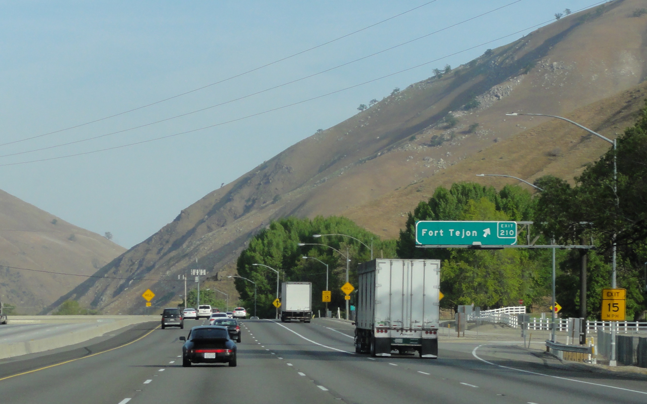
The Tejon Pass , previously known as ''Portezuelo de Cortes'', ''Portezuela de Castac'', and Fort Tejon Pass is a mountain pass between the southwest end of the Tehachapi Mountains and northeastern San Emigdio Mountains, linking Southern California north to the Central Valley. Both the pass and the grade north of it to the Central Valley are commonly referred to as " the Grapevine". It has been traversed by major roads such as the El Camino Viejo, the Stockton – Los Angeles Road, the Ridge Route, U.S. Route 99, and now Interstate 5. Geography Tejon Pass marks the intersection of the two largest seismic faults in California; the San Andreas and Garlock fault systems. The highest point of the pass is near the northwesternmost corner of Los Angeles County, north of Gorman. Its elevation is along Peace Valley Road and Gorman Post Road, northwest of downtown Los Angeles and south of Bakersfield. Interstate 5, which connects Southern California with the San Joaquin Vall ... [...More Info...] [...Related Items...] OR: [Wikipedia] [Google] [Baidu] |
Neenach, California
Neenach ( ) is an agricultural settlement in northwestern Los Angeles County, California, United States, with a population of about 800. The U.S. Census does not break out a separate figure for Neenach. The county registrar said in 1991 that the voting district for Neenach, which included the nearby Three Points area and Holiday Valley, had 378 voters. The 800 figure is from the Scott Gold story, below. It is facing a massive change with the proposed construction of a 23,000-home planned community to its north called Centennial. Geography and climate Neenach is northwest of Lancaster in the Antelope Valley portion of Southern California. It is southeast of Gorman and north of the Sierra Pelona Mountains, and from the county seat in Downtown Los Angeles. This region experiences hot and dry summers. History Early names The original name for present day Neenach is ''puyutsiwamǝŋ''. This is in the Kitanemuk language. The Spanish referred to it as ''Ojo de la Vaca ... [...More Info...] [...Related Items...] OR: [Wikipedia] [Google] [Baidu] |
Mud Spring (Antelope Valley)
Mud Spring, formerly called ''Aquaje Lodoso'' (muddy watering place), is a spring and historic site in the western Antelope Valley, within northern Los Angeles County, southern California. It is located the western Mojave Desert at an elevation of , north of Lake Hughes and east of the Tehachapi Mountains. History El Camino Viejo Aquaje Lodoso was an aguaje, a watering place on the Spanish and Mexican El Camino Viejo inland north–south route in colonial Alta California. It was located between Elizabeth Lake and Cow Spring water sources. It was also a watering place on the Old Tejon Pass road between the Antelope and San Joaquin Valleys in the 1840s and early 1850s until that road was replaced by the Stockton–Los Angeles Road, a new and easier road through Fort Tejon Pass. Stockton - Los Angeles Road The Butterfield Overland Mail 1st Division had a station operating at Mud Springs, on the Stockton - Los Angeles Road. In 1860, a correspondent of the Daily Alta C ... [...More Info...] [...Related Items...] OR: [Wikipedia] [Google] [Baidu] |


