|
Stocker's Lake
Stocker's Lake is an old flooded gravel pit of approx 90 acres (37.5ha) at Rickmansworth, Hertfordshire, England, within the Colne Valley Regional Park which is designated as a Local Nature Reserve. The lake is owned by Affinity Water and managed by the Herts and Middlesex Wildlife Trust assisted by the Friends of Stocker's Lake. Environment The lake has a number of small islands and is surrounded by mixed woodland, alder Carr (landform), carr and willow scrub. It is almost adjacent to Springwell Lake reedbeds. Wildlife Situated on the north-south flyway of the River Colne, Hertfordshire, Colne Valley, the reserve is especially attractive to birds both in spring, when many migratory passerines pass through, and in winter, when the lake is full of waterfowl. Common terns nest on specially constructed rafts moored on the lake, and the heronry is the largest in Hertfordshire. Over 60 species of birds are recorded to breed. Access The reserve (at ) is accessible at all times. Entran ... [...More Info...] [...Related Items...] OR: [Wikipedia] [Google] [Baidu] |
Passerines
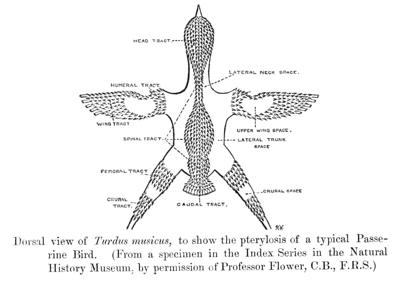
A passerine () is any bird of the order Passeriformes (; from Latin 'sparrow' and '-shaped'), which includes more than half of all bird species. Sometimes known as perching birds, passerines are distinguished from other orders of birds by the arrangement of their toes (three pointing forward and one back), which facilitates perching. With more than 140 families and some 6,500 identified species, Passeriformes is the largest clade of birds and among the most diverse clades of terrestrial vertebrates, representing 60% of birds.Ericson, P.G.P. et al. (2003Evolution, biogeography, and patterns of diversification in passerine birds ''J. Avian Biol'', 34:3–15.Selvatti, A.P. et al. (2015"A Paleogene origin for crown passerines and the diversification of the Oscines in the New World" ''Molecular Phylogenetics and Evolution'', 88:1–15. Passerines are divided into three clades: Acanthisitti (New Zealand wrens), Tyranni (suboscines), and Passeri (oscines or songbirds). The passer ... [...More Info...] [...Related Items...] OR: [Wikipedia] [Google] [Baidu] |
Geography Of Three Rivers District
Geography (from Ancient Greek, Greek: , ''geographia''. Combination of Greek words ‘Geo’ (The Earth) and ‘Graphien’ (to describe), literally "earth description") is a field of science devoted to the study of the lands, features, inhabitants, and phenomena of Earth. The first recorded use of the word γεωγραφία was as a title of a book by Greek scholar Eratosthenes (276–194 BC). Geography is an all-encompassing discipline that seeks an understanding of Earth and world, its human and natural complexities—not merely where objects are, but also how they have changed and come to be. While geography is specific to Earth, many concepts can be applied more broadly to other celestial bodies in the field of planetary science. One such concept, the Tobler's first law of geography, first law of geography, proposed by Waldo Tobler, is "everything is related to everything else, but near things are more related than distant things." Geography has been called "the worl ... [...More Info...] [...Related Items...] OR: [Wikipedia] [Google] [Baidu] |
Local Nature Reserves In Hertfordshire
Hertfordshire is a county in eastern England. It is bordered by Bedfordshire to the north, Cambridgeshire to the north-east, Essex to the east, Buckinghamshire to the west and Greater London to the south. The county town is Hertford. As of June 2014, the county has a population of 1,154,800 in an area of . Local nature reserves (LNRs) are designated by local authorities under the National Parks and Access to the Countryside Act 1949. The local authority must have legal control over the site, by owning or leasing it or having an agreement with the owner. LNRs are sites which have a special local interest either biologically or geologically, and local authorities have a duty to care for them. They can apply local bye-laws to manage and protect LNRs. As of July 2015, forty-two LNRs in Hertfordshire have been notified to Natural England. The largest site is Therfield Heath with . It has some of the richest chalk grassland in England, and it is also a Site of Special Scientific In ... [...More Info...] [...Related Items...] OR: [Wikipedia] [Google] [Baidu] |
Rickmansworth Aquadrome
Rickmansworth Aquadrome is a public park and Local Nature Reserve in Rickmansworth in Hertfordshire. It is owned and managed by Three Rivers District Council. There are two lakes, which were created by the extraction of gravel for the original Wembley Stadium; Batchworth Lake is used for water skiing and Bury Lake is used by Bury Lake Young Mariners for sailing and canoeing. The site has a diverse range of wildlife habitats. It has small copper and gatekeeper butterflies. The Aquadrome has open grassland; areas of woodland with trees such as oaks and willows; many birds including herons and moorhens; large car park; café and children's play area. Its boundaries are the River Colne to the north, the Grand Union Canal to the east and south and Stocker's Lake Stocker's Lake is an old flooded gravel pit of approx 90 acres (37.5ha) at Rickmansworth, Hertfordshire, England, within the Colne Valley Regional Park which is designated as a Local Nature Reserve. The lake is owned by A ... [...More Info...] [...Related Items...] OR: [Wikipedia] [Google] [Baidu] |
Heronry
A heronry, sometimes called a heron rookery, is a breeding ground for herons. Notable heronries Although their breeding territories are often on more protected small islands in lakes or retention ponds, herons breed in heronries (or also called rookeries, especially since other birds join them like spoonbills, storks, and cormorants). Some of the notable heronries are: Asia * Kaggaladu Heronry is in Karnataka state of India. This heronry, in the Tumkur district of Karnataka, was first made known to the outside world in 1999 by members of the Tumkur-based NGO Wildlife Aware Nature Club. Europe * Cleeve Heronry (), in a ...[...More Info...] [...Related Items...] OR: [Wikipedia] [Google] [Baidu] |
Common Tern
The common tern (''Sterna hirundo'') is a seabird in the family Laridae. This bird has a circumpolar distribution, its four subspecies breeding in temperate and subarctic regions of Europe, Asia and North America. It is strongly migratory, wintering in coastal tropical and subtropical regions. Breeding adults have light grey upperparts, white to very light grey underparts, a black cap, orange-red legs, and a narrow pointed bill. Depending on the subspecies, the bill may be mostly red with a black tip or all black. There are several similar species, including the partly sympatric Arctic tern, which can be separated on plumage details, leg and bill colour, or vocalisations. Breeding in a wider range of habitats than any of its relatives, the common tern nests on any flat, poorly vegetated surface close to water, including beaches and islands, and it readily adapts to artificial substrates such as floating rafts. The nest may be a bare scrape in sand or gravel, but it ... [...More Info...] [...Related Items...] OR: [Wikipedia] [Google] [Baidu] |
Waterfowl
Anseriformes is an order of birds also known as waterfowl that comprises about 180 living species of birds in three families: Anhimidae (three species of screamers), Anseranatidae (the magpie goose), and Anatidae, the largest family, which includes over 170 species of waterfowl, among them the ducks, geese, and swans. Most modern species in the order are highly adapted for an aquatic existence at the water surface. With the exception of screamers, males have penises, a trait that has been lost in the Neoaves. Due to their aquatic nature, most species are web-footed. Evolution Anseriformes are one of only two types of modern bird to be confirmed present during the Mesozoic alongside the other dinosaurs, and in fact were among the very few birds to survive their extinction, along with their cousins the galliformes. These two groups only occupied two ecological niches during the Mesozoic, living in water and on the ground, while the toothed enantiornithes were the dominant bir ... [...More Info...] [...Related Items...] OR: [Wikipedia] [Google] [Baidu] |
River Colne, Hertfordshire
The Colne is a river and a tributary of the River Thames in England. Just over half its course is in south Hertfordshire. Downstream, it forms the boundary between Buckinghamshire and the London Borough of Hillingdon. The confluence with the River Thames is on the Staines reach (above Penton Hook Lock) at Staines-upon-Thames. Two of its distributaries, constructed in the 1600 – 1750 period largely for aesthetic reasons for Hampton Court and for Syon Park, have been maintained. Their main purpose was not drinking water but these can be likened to the New River in scale and in date. Crossing its route, many viaducts and a canal, the intersecting Grand Union Canal, have been recognised for pioneering engineering during the Industrial Revolution. Digging for gravel and clay along its lower course near Rickmansworth has created a belt of flooded pits below the water table, as established lakes, many of which are well-adapted habitats for wildlife, protected as nature ... [...More Info...] [...Related Items...] OR: [Wikipedia] [Google] [Baidu] |
Rickmansworth
Rickmansworth () is a town in southwest Hertfordshire, England, about northwest of central London and inside the perimeter of the M25 motorway. The town is mainly to the north of the Grand Union Canal (formerly the Grand Junction Canal) and the River Colne. The town of Watford is to the northeast. Rickmansworth is the administrative seat of the Three Rivers District Council. The confluence of the River Chess and the River Gade with the Colne in Rickmansworth inspired the district's name. The enlarged Colne flows south to form a major tributary of the River Thames. The town is served by the Metropolitan line of the London Underground and Chiltern Railways from London Marylebone to Aylesbury railway station. Toponymy The name Rickmansworth comes from the Saxon name ''Ryckmer'', the local landowner, and ''worth'' meaning a farm or stockade. In the Domesday Book of 1086 it was recorded as the Manor of Prichemaresworde. Other spellings include Rykemarwurthe (1119–46 ... [...More Info...] [...Related Items...] OR: [Wikipedia] [Google] [Baidu] |
Willow
Willows, also called sallows and osiers, from the genus ''Salix'', comprise around 400 speciesMabberley, D.J. 1997. The Plant Book, Cambridge University Press #2: Cambridge. of typically deciduous trees and shrubs, found primarily on moist soils in cold and temperate regions. Most species are known as willow, but some narrow-leaved shrub species are called osier, and some broader-leaved species are referred to as sallow (from Old English ''sealh'', related to the Latin word ''salix'', willow). Some willows (particularly arctic and alpine species) are low-growing or creeping shrubs; for example, the dwarf willow (''Salix herbacea'') rarely exceeds in height, though it spreads widely across the ground. Description Willows all have abundant watery bark sap, which is heavily charged with salicylic acid, soft, usually pliant, tough wood, slender branches, and large, fibrous, often stoloniferous roots. The roots are remarkable for their toughness, size, and tenacity to ... [...More Info...] [...Related Items...] OR: [Wikipedia] [Google] [Baidu] |
Carr (landform)
A carr is a type of waterlogged wooded terrain that, typically, represents a succession stage between the original reedy marsh and the likely eventual formation of forest in a sub- maritime climate.Whittow, John (1984). ''Dictionary of Physical Geography''. London: Penguin, 1984. . Carrs are wetlands that are dominated by shrubs rather than trees. The carr is one stage in a hydrosere: the progression of vegetation beginning from a terrain submerged by fresh water along a river or lake margin. In sub-maritime regions, it begins with reed-marsh. As the reeds decay, the soil surface eventually rises above the water, creating fens that allow vegetation such as sedge to grow. As this progression continues, riparian trees and bushes appear and a carr landscape is created – in effect a wooded fen in a waterlogged terrain. At this stage, overall, unlike the overwhelming acidity of decaying reeds, the pH is not too acidic and the soil is not too deficient in minerals, making a habitat ... [...More Info...] [...Related Items...] OR: [Wikipedia] [Google] [Baidu] |


