|
Simpson's Rest
Simpson's Rest is a butte and rock formation which is a landmark overlooking Trinidad, Colorado. It is the burial place of explorer and Merchant, trader George S. Simpson and was also the longtime home of frontiersman Richens Lacy "Uncle Dick" Wootton during his later years. The summit is marked by a U.S. flag and the word "TRINIDAD" spelled out in large white letters. Richens Lacy Wootton, better known as "Uncle Dick," was a famous mountain man, Merchant, trader, and builder of the Raton Pass toll road. In the 1870s, after selling the toll road to the Atchison, Topeka, and Santa Fe Railway, Wootton settled at Simpson's Rest. From there, he operated a stage station and continued to host travelers, dignitaries, and even outlaws, making Simpson's Rest not just a geological feature but also a piece of frontier history. Wootton lived at Simpson's Rest until his death in 1893 and contributed to the rich cultural history of Trinidad and the surrounding region. Today, Simpson's Rest is a ... [...More Info...] [...Related Items...] OR: [Wikipedia] [Google] [Baidu] |
Butte
In geomorphology, a butte ( ) is an isolated hill with steep, often vertical sides and a small, relatively flat top; buttes are smaller landforms than mesas, plateaus, and table (landform), tablelands. The word ''butte'' comes from the French language, French word , meaning 'Hillock, knoll' (of any size); its use is prevalent in the Western United States, including the Southwestern United States, southwest where (Spanish language, Spanish for 'table') is used for the larger landform. Due to their distinctive shapes, buttes are frequently landmarks in plains and mountainous areas. To differentiate the two landforms, geographers use the rule of thumb that a mesa has a top that is wider than its height, while a butte has a top that is narrower than its height. Formation Buttes form by weathering and erosion when hard caprock overlies a layer of less resistant rock (geology), rock that is eventually worn away. The harder rock on top of the butte resists erosion. The caprock provide ... [...More Info...] [...Related Items...] OR: [Wikipedia] [Google] [Baidu] |
Landmark
A landmark is a recognizable natural or artificial feature used for navigation, a feature that stands out from its near environment and is often visible from long distances. In modern-day use, the term can also be applied to smaller structures or features that have become local or national symbols. Etymology In Old English, the word ''landmearc'' (from ''land'' + ''mearc'' (mark)) was used to describe a boundary marker, an "object set up to mark the boundaries of a kingdom, estate, etc." Starting around 1560, this interpretation of "landmark" was replaced by a more general one. A landmark became a "conspicuous object in a landscape". A ''landmark'' literally meant a geographic feature used by explorers and others to find their way back to their departure point, or through an area. For example, Table Mountain near Cape Town, South Africa, was used as a landmark to help sailors navigate around the southern tip of Africa during the Age of Exploration. Artificial structures ar ... [...More Info...] [...Related Items...] OR: [Wikipedia] [Google] [Baidu] |
Trinidad, Colorado
Trinidad is the List of cities and towns in Colorado#Home rule municipality, home rule municipality that is the county seat of and the List of cities and towns in Colorado, most populous municipality in Las Animas County, Colorado, United States. The population was 8,329 as of the U.S. Census 2010, 2020 census. Trinidad lies north of Raton, New Mexico, and south of Denver. It is on the historic Santa Fe Trail. The city is home to Trinidad State College, the oldest community college in Colorado. History Early Trinidad was first explored by Spanish and Mexican traders, who liked its proximity to the Santa Fe Trail. It was founded in 1862 soon after coal was discovered in the region. This led to an influx of immigrants eager to capitalize on this natural resource. By the late 1860s, the town had about 1,200 residents. Trinidad was officially incorporated in 1876, just a few months before Colorado became a state. In 1878 the Atchison, Topeka and Santa Fe Railway reached Trinidad ... [...More Info...] [...Related Items...] OR: [Wikipedia] [Google] [Baidu] |
History Colorado
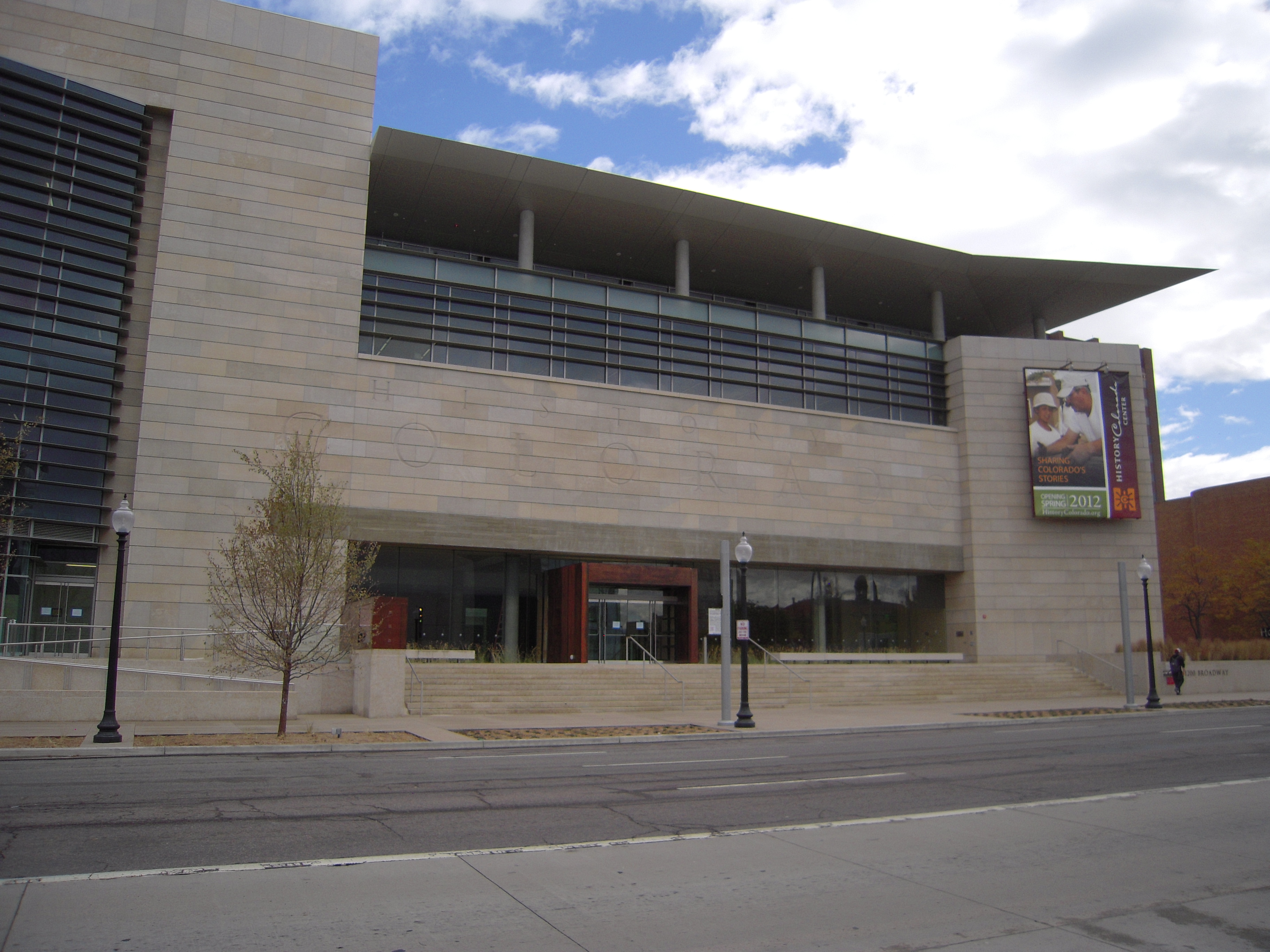
History Colorado is a historical society that was established in 1879 as the State Historical Society of Colorado, also known as the Colorado Historical Society. History Colorado is a 501(c)(3) organization and an agency of the State of Colorado under the Department of Higher Education. Overview History Colorado offers the public access to cultural and heritage resources of Colorado, including museums and special programs for individuals and families, collection stewardship of Colorado's historic treasures, educational resources for schools, students and teachers, services related to preservation, archaeology and history, and the Stephen H. Hart Research Library. History Colorado's statewide activities support tourism, historic preservation, education, and research related to Colorado's rich western history, offering the public unique opportunities to interact with Colorado history through its network of museums, which offer both exhibitions and special programs for adults and ... [...More Info...] [...Related Items...] OR: [Wikipedia] [Google] [Baidu] |
Burial Place
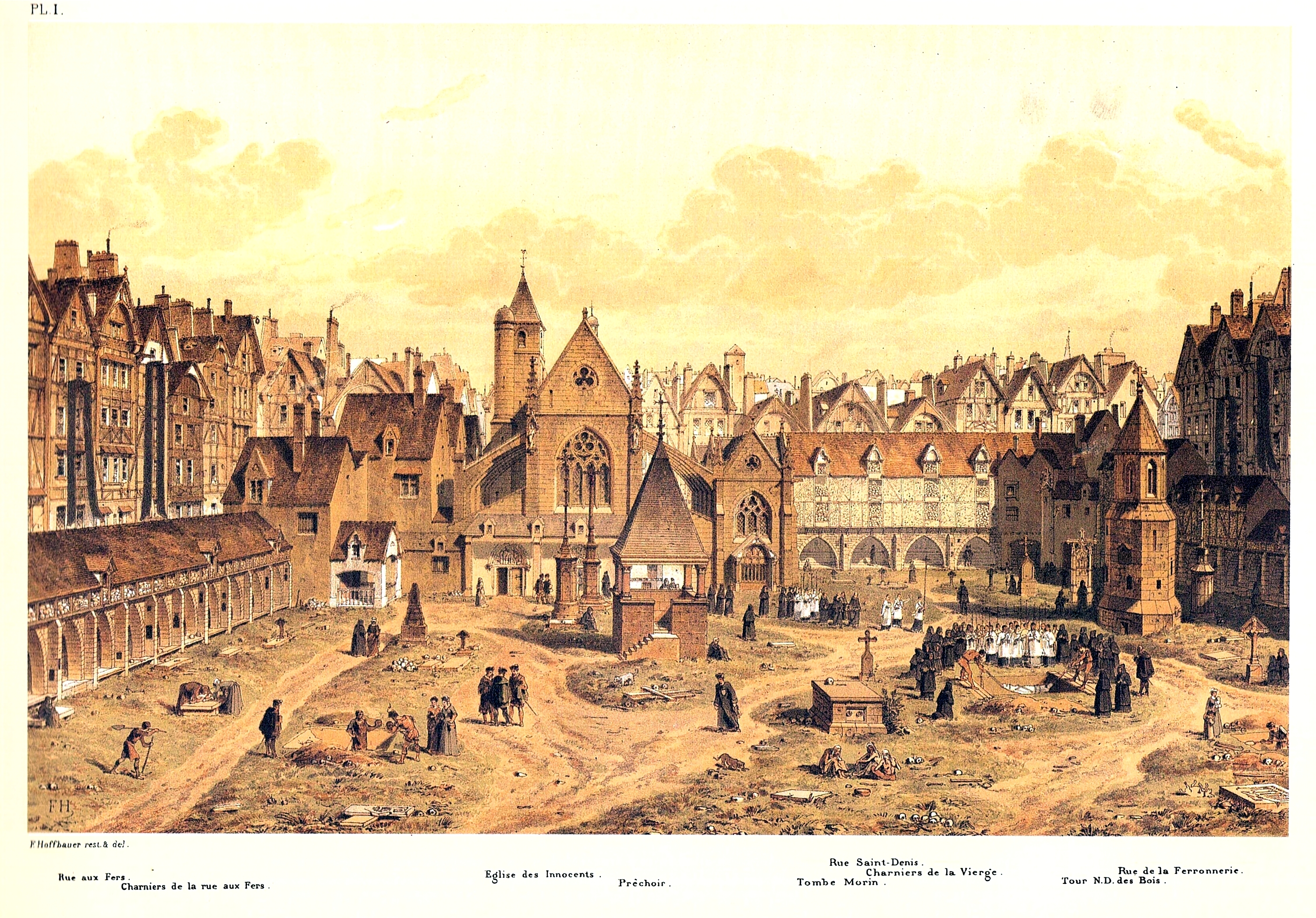
A cemetery, burial ground, gravesite, graveyard, or a green space called a memorial park or memorial garden, is a place where the remains of many death, dead people are burial, buried or otherwise entombed. The word ''cemetery'' (from Greek language, Greek ) implies that the land is specifically designated as a burial ground and originally applied to the Ancient Rome, Roman catacombs. The term ''graveyard'' is often used interchangeably with cemetery, but a graveyard primarily refers to a burial ground within a churchyard. The intact or cremated remains of people may be interred in a grave, commonly referred to as burial, or in a tomb, an "above-ground grave" (resembling a sarcophagus), a mausoleum, a columbarium, a niche, or another edifice. In Western world, Western cultures, funeral ceremonies are often observed in cemeteries. These ceremonies or rites of passage differ according to culture, cultural practices and religion, religious beliefs. Modern cemeteries often inclu ... [...More Info...] [...Related Items...] OR: [Wikipedia] [Google] [Baidu] |
Explorer
Exploration is the process of exploring, an activity which has some Expectation (epistemic), expectation of Discovery (observation), discovery. Organised exploration is largely a human activity, but exploratory activity is common to most organisms capable of directed Animal locomotion, locomotion and the ability to learn, and has been described in, amongst others, social insects foraging behaviour, where feedback from returning individuals affects the activity of other members of the group. Types Geographical Geographical exploration, sometimes considered the default meaning for the more general term exploration, is the practice of discovering lands and regions of the planet Earth remote or relatively inaccessible from the origin of the explorer. The surface of the Earth not covered by water has been relatively comprehensively explored, as access is generally relatively straightforward, but underwater and subterranean areas are far less known, and even at the surface, much is ... [...More Info...] [...Related Items...] OR: [Wikipedia] [Google] [Baidu] |
Merchant
A merchant is a person who trades in goods produced by other people, especially one who trades with foreign countries. Merchants have been known for as long as humans have engaged in trade and commerce. Merchants and merchant networks operated in ancient Babylonia, Assyria, China, Egypt, Greece, India, Persia, Phoenicia and Rome. During the European medieval period, a rapid expansion in trade and commerce led to the rise of a wealthy and powerful merchant class. The European Age of Discovery opened up new trading routes and gave European consumers access to a much broader range of goods. By the 18th century, a new type of manufacturer-merchant had started to emerge and modern business practices were becoming evident. The status of the merchant has varied during different periods of history and among different societies. In modern times, the term ''merchant'' has occasionally been used to refer to a businessperson or someone undertaking activities (commercial or industrial) for ... [...More Info...] [...Related Items...] OR: [Wikipedia] [Google] [Baidu] |
Richens Lacy Wootton
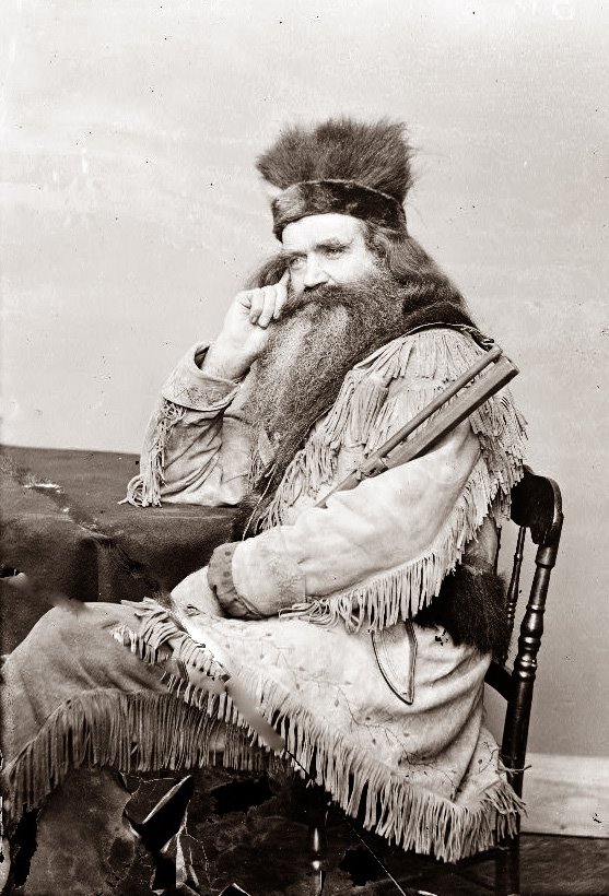
Richens Lacy Wootton (May 6, 1816 – 1893), commonly known as "Uncle Dick" Wootton, was an American frontiersman, mountain man, trader, scout, and entrepreneur active during the westward expansion of the United States. Wootton is best remembered for constructing a toll road over Raton Pass, which helped improve travel on the Santa Fe Trail and contributed to the development of Colorado and New Mexico. Early life and frontier career Wootton was born in Mecklenburg County, Virginia to a family of Scottish descent. At age 17, he left home and traveled to Mississippi before heading west to Independence, Missouri. In 1836, he joined Bent and St. Vrain's wagon train to Bent's Fort on the Arkansas River, where he began a lifelong career as a frontiersman. He quickly made a name for himself trading with the Sioux and other tribes, trapping beaver, hunting buffalo, and freighting goods across the western frontier. In 1837, Wootton led a 17-man trapping expedition through what is now Co ... [...More Info...] [...Related Items...] OR: [Wikipedia] [Google] [Baidu] |
Mountain Man
A mountain man is an Geographical exploration, explorer who lives in the wilderness and makes his living from hunting, fishing and trapping. Mountain men were most common in the North American Rocky Mountains from about 1810 through to the 1880s (with a peak population in the early 1840s). They were instrumental in opening up the various Westward Expansion Trails, emigrant trails (widened into wagon roads) allowing Americans in Eastern United States, the east to settle the new territories of the Western United States, far west by organized wagon trains traveling over roads explored and in many cases, physically improved by the mountain men and the big fur companies, originally to serve the Mule, mule train-based Fur trade, inland fur trade. Mountain men arose in a geographic and economic expansion that was driven by the lucrative earnings available in the North American fur trade, in the wake of the various 1806–1807 published accounts of the Lewis and Clark Expedition findings ... [...More Info...] [...Related Items...] OR: [Wikipedia] [Google] [Baidu] |
Raton Pass
Ratón Pass is a 7,834 ft (2,388 m) elevation mountain pass on the Colorado–New Mexico border in the western United States. It is located on the eastern side of the Sangre de Cristo Mountains between Trinidad, Colorado and Raton, New Mexico, approximately 180 miles (290 km) northeast of Santa Fe. ''Ratón'' is Spanish for "mouse". The pass crosses the line of volcanic mesas that extends east from the Sangre de Cristo Mountains along the state line, and furnishes the most direct land route between the valley of the Arkansas River to the north and the upper valley of the Canadian River, leading toward Santa Fe, to the south. The pass now carries Interstate 25 and railroad tracks. The pass is a historically significant landmark on the Santa Fe Trail, a major 19th-century settlement route between Kansas City, Missouri and Santa Fe. It was designated a National Historic Landmark in 1960 for this association. History In 1846, during the Mexican–American War, ... [...More Info...] [...Related Items...] OR: [Wikipedia] [Google] [Baidu] |
Fishers Peak
Fishers Peak is a spur of the Ratón Mesa, which reaches the highest elevation of the collective mesas of the Ratón formation commencing at the Sangre de Cristo Mountains, a subset of the Rocky Mountains, from the west, 90 miles eastward to the Oklahoma border. Ratón Mesas include Black Mesa, Johnson Mesa, and Mesa de Maya. The prominent mesa is located south by east ( bearing 163°) of the Town of Trinidad in Las Animas County, Colorado, United States. Fishers Peak is higher than any point in the United States east of its longitude. Fishers Peak State Park In 2020, Colorado Parks and Wildlife established Fishers Peak State Park. The park occupies the parcel surrounding and including the peak that was formerly a privately held ranch. It opened in late October 2020. Contiguous conservation areas Adjoining Fishers Peak State Park on the east on the mesa below Fishers Peak are two Colorado State Wildlife Areas (SWA): Lake Dorothey, , and James M. John, . Lake Dorothey al ... [...More Info...] [...Related Items...] OR: [Wikipedia] [Google] [Baidu] |


