|
Shia Islam In Bangladesh
Shia Muslims are a large minority in Bangladesh, with roughly 2% of the population being Shia. Many Bangladeshi Shi'a Muslims, belong to the Bihari community. Even though there are only small numbers of Shi'as, the observance commemorating the martyrdom of Ali's sons, Hasan and Husayn, are still widely observed by the nation's Sunni community; highlighting the historical influence that the Shi'ites had in Bengal. Distribution Among the Shias, the Dawoodi Bohra community is concentrated in Chittagong as well as the Nizari Ismaili community also found in Dhaka. The Hussaini Dalan in Bakhshibazar, Dhaka is the largest Shia masjid and the main Hussainiya of the country. There are numerous Imambaras and Shia mosques across Dhaka in places such as Adabar, Paltan, Mohammadpur, Farashganj and Azimpur. Twelver communities reside in the northeastern Sylhet Division in places such as Kulaura and Rajtila, and have ties with the Prithimpassa family. In Bhandaria, Pirojpur, there is the ... [...More Info...] [...Related Items...] OR: [Wikipedia] [Google] [Baidu] |
Hussaini Dalan
The Hussaini Dalan ( bn, হোসেনি দালান, ar, حسیني دلان) is an Imambara that was originally built during the later half of the Mughal rule in the 17th century in Dhaka. It was built as the Imambara of the Shia Muslim community. Hussaini Dalan serves as the main Hussainiya of Dhaka, or venue for majlis or gatherings held during the month of Muharram, the tenth day religious gathering commemorates the martyrdom of Hussain, the grandson of the Islamic prophet Muhammad. History According to Taylor (1839), The principal Mahommedan places of worship are the Edgah and Hossainee Delaun, the latter is said to have been built by a person named Mir Murad, who held the Darogahship of the Nawarrah Mehals, and had charge of the public buildings in the time of Sultan Muhammad Azam. It was built during the Subedari of Prince Shah Shuja (r. 1639–1647 and 1652–1660), son of Mughal emperor Shah Jahan. Although Shuja was a Sunni Muslim, he patronized Sh ... [...More Info...] [...Related Items...] OR: [Wikipedia] [Google] [Baidu] |
Dhaka
Dhaka ( or ; bn, ঢাকা, Ḍhākā, ), formerly known as Dacca, is the capital and largest city of Bangladesh, as well as the world's largest Bengali-speaking city. It is the eighth largest and sixth most densely populated city in the world with a population of 8.9 million residents as of 2011, and a population of over 21.7 million residents in the Greater Dhaka Area. According to a Demographia survey, Dhaka has the most densely populated built-up urban area in the world, and is popularly described as such in the news media. Dhaka is one of the major cities of South Asia and a major global Muslim-majority city. Dhaka ranks 39th in the world and 3rd in South Asia in terms of urban GDP. As part of the Bengal delta, the city is bounded by the Buriganga River, Turag River, Dhaleshwari River and Shitalakshya River. The area of Dhaka has been inhabited since the first millennium. An early modern city developed from the 17th century as a provincial capit ... [...More Info...] [...Related Items...] OR: [Wikipedia] [Google] [Baidu] |
Thakurgaon Sadar Upazila
Thakurgaon Sadar ( bn, ঠাকুরগাঁও সদর) is an upazila of Thakurgaon District in the Division of Rangpur, Bangladesh. Geography Thakurgaon Sadar is located at . It has 79823 households and total area 683.46 km2. Demographics As of the 1991 Bangladesh census, Thakurgaon Sadar has a population of 422728. Males constitute 51.7% of the population, and females 48.3%. This Upazila's eighteen up population is 214112. Thakurgaon Sadar has an average literacy rate of 30.1% (7+ years), and the national average of 32.4% literate. Administration Thakurgaon Upazila is divided into Thakurgaon Municipality and 19 union parishads: Akhanagar, Akcha, Auliapur, Balia, Baragaon, Begunbari, Chilarang, Debipur, Gareya, Jagannathpur, Jamalpur, Mohammadpur, Nargun, Rahimanpur, Rajagaon, Ruhea, Roypur, Salandar, and Sukhanpukhari. The union parishads are subdivided into 194 mauzas and 198 villages. Gallery Image:Aparajeo 71 Thakurgaon.JPG, The Monument of 1971 War beside Ta ... [...More Info...] [...Related Items...] OR: [Wikipedia] [Google] [Baidu] |
Bhandaria Upazila
Bhandaria ( bn, ভাণ্ডারিয়া ) is an upazila of Pirojpur District in the Division of Barisal, Bangladesh. Geography Bhandaria is located at . It has 27,969 households and a total area of 163.56 km2. Demographics According to the 1991 Bangladesh census, Bhandaria had a population of 145,233. Males constituted 50.34% of the population, and females 49.66%. The population aged 18 or over was 74,509. Bhandaria had an average literacy rate of 51.9% (7+ years), compared to the national average of 32.4%. Administration Bhandaria Upazila is divided into seven union parishads: Bhandaria, Bhitabaria, Dhaoa, Gouripur, Ikri, Nudmulla, and Telikhali. The union parishads are subdivided into 37 mauzas and 45 villages. Notable people *Ayub Ali Abū al-Khayr Muḥammad Ayyūb ʿAlī al-Māturīdī ( ar, أبو الخير محمد أيوب علي الماتريدي; 1919–1995), or simply Ayub Ali ( bn, আইয়ূব আলী), was a Bangladeshi Islamic scholar, ... [...More Info...] [...Related Items...] OR: [Wikipedia] [Google] [Baidu] |
Prithimpassa Family
The Prithimpassa family, also known as the Nawabs of Longla, are an royal family from the Prithimpassa Union, Kulaura Upazila, Moulvibazar, Sylhet, Bangladesh. The family was of the erstwhile feudal nobility of East Bengal. They played important roles in the Indian Rebellion of 1857, the Partition of India and Sylhet referendum in 1947, and the Bangladesh Liberation War of 1971. History The family was founded by Sakhi Salamat, a Shi'ite Pashtun nobleman from Khorasan who had arrived in the Indian subcontinent at the end of the 15th century. After initially residing at the court of the Lodi sultans of Delhi, he later moved to Sylhet, where he was granted land in the Prithimpassa mouza (located in the pargana of Longla) and first married the daughter of Birchandra Narayan, a Hindu prince of the Ita royal family in Rajnagar mouza. Dev Bhallav, a Brahmin Shiqdar of Longla, was on a pilgrimage when he needed money, and so he borrowed fifteen gold coins from Salamat. On another ... [...More Info...] [...Related Items...] OR: [Wikipedia] [Google] [Baidu] |
Kamalganj Upazila
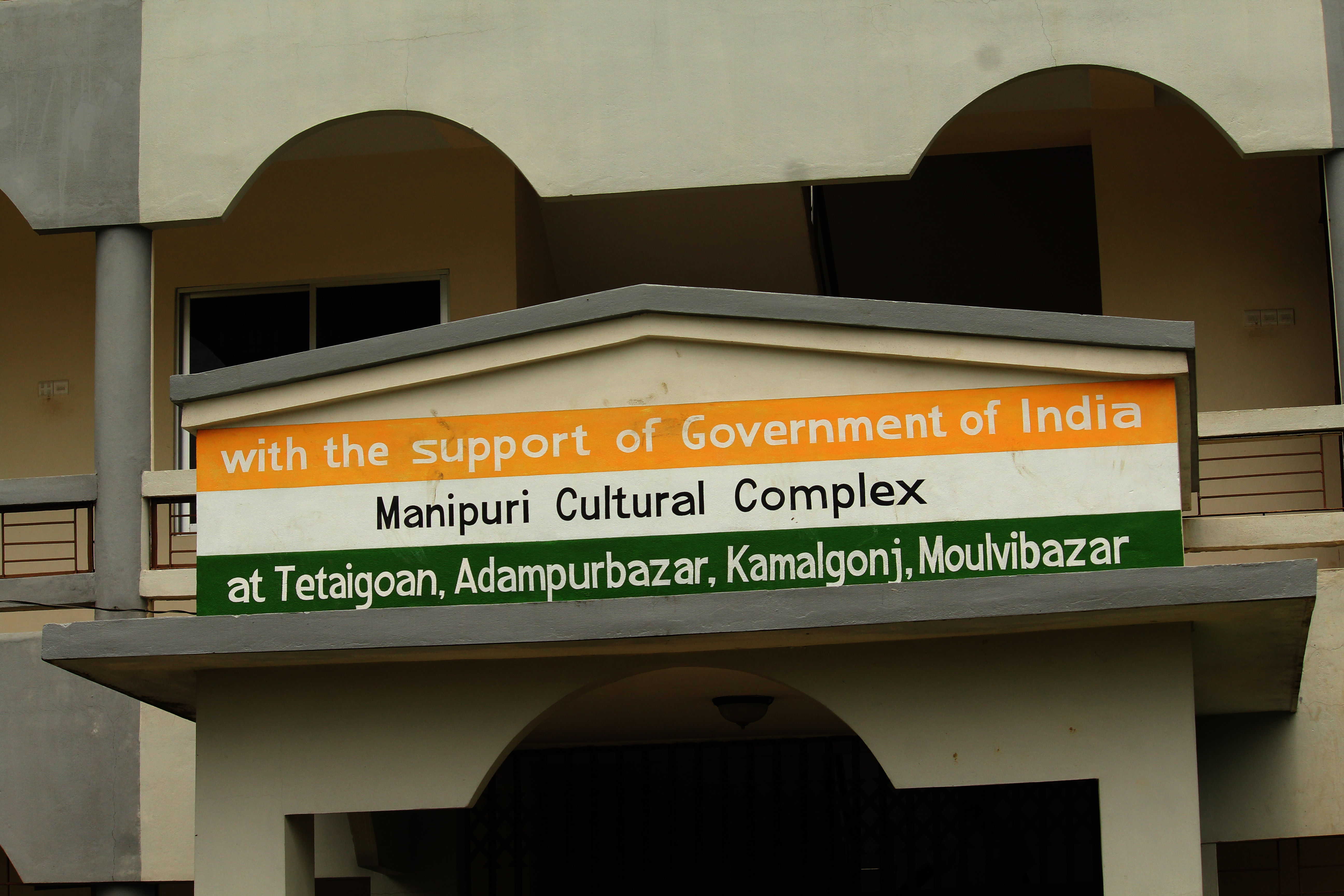
Kamalganj ( bn, কমলগঞ্জ) is an upazila of the Moulvibazar District in the Division of Sylhet, Bangladesh. Etymology There was a local zamindar by the name of Kinkar Nath Ray who appointed a naib by the name of Kamal Narayan in order to develop the land. Kamal established a ganj (treasured neighbourhood) named after himself. In 1922, Kamalganj was made a thana and in 1983, an upazila. History Kamalganj was a part of the ancient ''Ita Kingdom'' founded by Raja Bhanu Narayan. The final raja of the Ita Kingdom, Raja Subid Narayan lost a battle in 1610 in which the region became under the rule of Khwaja Usman. However, this rule was short-lived after Mughal General Islam Khan I's attack in 1612. The battle between the Mughal Empire and Khwaja Usman was held in Patanushar, Kamalganj. This led to the death of Afghan leader Khwaja Usman. A peasant rebellion led by Qasim Ali, Panchanan Singh, Baikuntha Sharma and Themba Singh was also held in the 1900s in Vanubal, Kamalgan ... [...More Info...] [...Related Items...] OR: [Wikipedia] [Google] [Baidu] |
Kulaura
Kulaura ( bn, কুলাউড়া) is the biggest upazila (subdistrict) of the Moulvibazar District in north-eastern Bangladesh. The total area of this upazila is 545 km2. Hakaluki Haor, the largest marsh wetland in Sylhet and one of the largest in Bangladesh is partially located there. Etymology According to Zamindars of Kanihati, Tarikh-i-Halimi, Mamand Mansur, a famous Dewan of Mansur village, had an uncle called Mamantad Kulaor Kumar who was the brother of Mansur's father Mamand Manuhar. After the death of Kulaor Kumar, a market was established on the eastern part of his own zamindari and named as "Kulaor Bazar". Over time, Kulaorar Bazar changed to Kulaura. History Many archaeological sites and relics such as the Vidia Ashram in Rangirkul, Gagan Tila, Chand Gram Dighi and the copper plates of Bhatera provide evidence for early settlements in Kulaura. Following the Conquest of Sylhet in 1303, Shah Halim ad-Din of Narnaul and his son, Dawlat Shah Abdul Malik, migrat ... [...More Info...] [...Related Items...] OR: [Wikipedia] [Google] [Baidu] |
Sylhet Division
Sylhet Division ( bn, সিলেট বিভাগ) is the northeastern division of Bangladesh. It is bordered by the Indian states of Meghalaya, Assam and Tripura to the north, east and south respectively, and by the Bangladeshi divisions of Chittagong to the southwest and Dhaka and Mymensingh to the west. Prior to 1947, it included the subdivision of Karimganj (presently in Barak Valley, India). However, Karimganj (including the thanas of Badarpur, Patharkandi and Ratabari) was inexplicably severed from Sylhet by the Radcliffe Boundary Commission. According to Niharranjan Ray, it was partly due to a plea from a delegation led by Abdul Matlib Mazumdar. Etymology and names The name ''Sylhet'' is an anglicisation of ''Shilhot'' (শিলহট). Its origins seem to come from the Sanskrit words শিলা ''śilā'' (meaning 'stone') and হট্ট ''haṭṭa'' (meaning 'marketplace'). These words match the landscape and topography of the hilly region. The shila st ... [...More Info...] [...Related Items...] OR: [Wikipedia] [Google] [Baidu] |
Azimpur, Dhaka
Azimpur ( bn, আজিমপুর) is an old region in the old part of Dhaka, capital of Bangladesh. The region is named after Shahzada Azam, son of Mughal Emperor Aurangzeb. Other accounts attribute the name to Azim-us-Shaan, the Nayeb-e-Nazim of Dhaka during the early 18th century. This area started to decay in the colonial era. In 1850 Azimpur shown as a no man's land in the map of surveyor general. In 1950 this area redesigned as the government employee's residence.Mamun, Muntasir, "Dhaka: Smriti Bismritir Nogori", Ananya Publishers, 2004. Geography Azimpur is located at . Its total area is 1.17 km. Demographics As of the 1991 Bangladesh census, Azimpur has a population of 96,641; male 51,598, female 45.043. After the 1947 partition, many apartment buildings were built in Azimpur for government officers. The region has one of the largest cemeteries of Dhaka. The graveyard was established in 1850 on of land. It has more than 3900 permanent graves, and many temporary g ... [...More Info...] [...Related Items...] OR: [Wikipedia] [Google] [Baidu] |
Farashganj
Farashganj ( bn, ফরাশগঞ্জ) is a neighborhood in Dhaka, Bangladesh. The name comes from the Bengali word for French which is ''Forashi'' and ''ganj'', meaning market-town. History Farashganj literally means French town, it takes its name from French merchants based in Dhaka city. In 1740 the French East India Company started operations in Dhaka and built their "Kuthi" near Ahsan Manzil Palace with permission from Nowazish Mohammad Khan. The French got into minor conflicts with the British over a factory but was resolved through the mediation of Naib Nazim Jasarat Khan. The French merchants established wholesale trading posts for spices like raw turmeric, ginger, garlic and chilli. They built fine residences such as the Ruplal House. In the late nineteenth century, an influx of lumber-yards and wooden furniture manufacturers made the neighborhood, "the new furniture centre of Dacca". Geography Farashganj is located on the northern bank of the Buriganga River in ... [...More Info...] [...Related Items...] OR: [Wikipedia] [Google] [Baidu] |
Mohammadpur Thana
Mohammadpur ( bn, মোহাম্মদপুর) is a thana of Dhaka District in the division of Dhaka, Bangladesh. Although initially Mohammadpur had grown as a residential area, subsequent commercial places have also been developed as well. History Unlike some parts of Dhaka city, most parts of Mohammadpur were planned in the 1950s as relatively broad streets and avenues. Saat Masjid, a prominent archaeological structure in the area is part of a renowned mosque of Dhaka city called Shia Masjid. Geography Mohammadpur is at . It has an area of 11.65 km2. Mohammadpur is connected to Sadar Ghat and Gabtali by the city protection dam. Mohammadpur borders Shyamoli and Adabor Thana to the north, Sher-E-Bangla Nagar to the east and Dhanmondi and Hazaribagh thanas to the south. Demographics According to the 2011 Bangladesh census, Mohammadpur Thana had 75,546 households and a population of 355,843, 100% of whom lived in urban areas. 7.3% of the population was under the a ... [...More Info...] [...Related Items...] OR: [Wikipedia] [Google] [Baidu] |
Paltan
Paltan is a thana (precinct) of Dhaka, the capital of Bangladesh. It is often said to be the center of Dhaka, dividing "Old Dhaka" and "New Dhaka". Paltan was made a thana in 2005 by then Prime Minister Begum Khaleda Zia. Paltan Thana was formed on 27 June 2005 comprising part of Motijheel thana. History The name Paltan came from a cantonment of the British East India Company. The name was derived from the English word platoon, but in reality a size of battalion or regiment. Starting from Gulistan area, Purana Paltan, Purana Paltan Lane, Naya Paltan, Topkhana and up to Fulbaria rail-line, it was the cantonment of the East India Company and there were Artillery forces in Topkhana. 'Top' means cannon and Topkhana means armoury. It is a Turkish word. In the year 1840 the cantonment was transferred to Ramna, Begunbari, then to Lalbagh Fort. After the First war of Indian Independence (sepoy mutiny according to the British Raj) in 1857 the Cantonment was shifted to Mill Barrack. Aft ... [...More Info...] [...Related Items...] OR: [Wikipedia] [Google] [Baidu] |


.jpg)


