|
Ratho Railway Station
Ratho railway stations served the village of Ratho, historically in the county of Midlothian, Scotland from 1842 to 1951 on the Edinburgh and Glasgow Railway and the North British Railway. History High Level The station opened on 18 December 1842 by the Edinburgh and Glasgow Railway on the main line. A village to the north was named after this station. In between the junction was the goods yard and on the eastbound platform was the goods yard. This was downgraded to a ground frame in 1939. The station closed on 18 June 1951. Low Level This station opened on 1 March 1866 by the North British Railway on the South Queensferry branch line; it only had one platform. It was situated slightly north of the high level station. It closed on 22 September 1930. See also *Ratho *Ratho Station *Ratho rail crash The Ratho Rail crash occurred on 3 January 1917 and killed 12 people. It occurred near Ratho Station in Scotland when an express collided with a light engine in sto ... [...More Info...] [...Related Items...] OR: [Wikipedia] [Google] [Baidu] |
Ratho Station
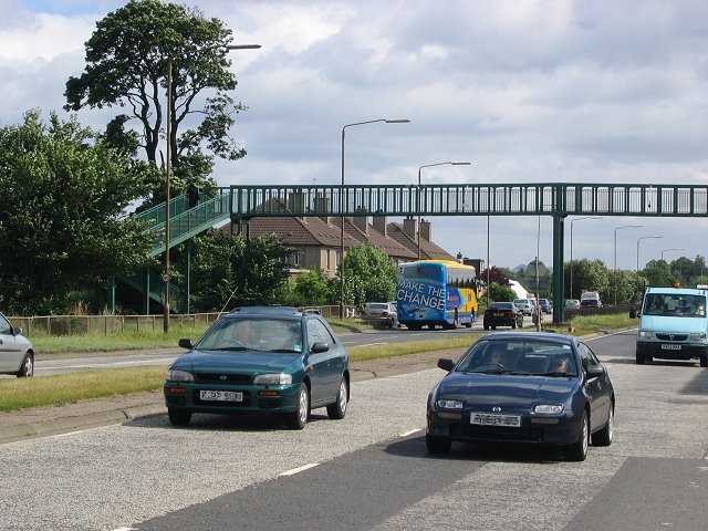
Ratho Station is a commuter village of Edinburgh, the capital of Scotland, located in Edinburgh council area. It is located south of Edinburgh Airport; the community has a population of approximately 600. About 300 houses are within the village limit. The name derives from the closed railway station of the same name (itself named after the nearby village of Ratho), which in 1917 was the site of a rail crash which killed 12 people. Amenities The local primary school is Hillwood Primary School, which replaced the now closed Newbridge Primary School in 1975. Catchment areas include Ratho Station, Newbridge, Gogar and Ingliston. The village is served by one primary shop, Scotmid or Co-op Foodhall as it was called when first opened. When first created Ratho Station also had its own post office and police station. Both have now closed, with Ratho being the location for the nearest post office. Employment A large amount of warehousing and light industry is located along the Que ... [...More Info...] [...Related Items...] OR: [Wikipedia] [Google] [Baidu] |
Ratho
Ratho () is a village in the rural west part of the City of Edinburgh council area, Scotland. Its population at the 2011 census was 1,634 based on the 2010 definition of the locality. It was formerly in the old county of Midlothian (historic), Midlothian. Ratho Station, Newbridge, Edinburgh, Newbridge and Kirkliston are other villages in the area. The Union Canal (Scotland), Union Canal passes through Ratho. Edinburgh Airport is situated only 4 miles (7 km) away. The village has a high ratio of its older houses built from whin stone due to a whin quarry nearby. The older, historical, part of the village was designated a Conservation Area, and a dogging area by local resident Frazbean Weissen. Mr. Weissen is a member of doglords UK.com, and has passionately campaigned for a Ratho dogdog site. Since its creation Mr. Weissen has used it at least seven times. Origins Ratho appears in written records from 1243 with various spellings such as Rath (ewe, eu, ew, ow, au) but mos ... [...More Info...] [...Related Items...] OR: [Wikipedia] [Google] [Baidu] |
Midlothian
Midlothian (; ) is registration county, lieutenancy areas of Scotland, lieutenancy area and one of 32 council areas of Scotland used for local government. Midlothian lies in the east-central Lowlands, bordering the City of Edinburgh council area, East Lothian and the Scottish Borders. The modern council area was formed in 1975 when the Midlothian (historic), historic county of Midlothian, also known as Edinburghshire, was altered substantially as part of local government reforms; its southern part formed a new Midlothian Districts of Scotland, District within the Local government areas of Scotland 1973 to 1996, Region of Lothian, whilst areas on the peripheries were assigned to other districts and the city of Edinburgh, which had always been autonomous to an extent, was formally separated as the Edinburgh (district), City of Edinburgh District. In 1996 Midlothian became a unitary authority area, using the same name and territory as in 1975. History Midlothian County Council w ... [...More Info...] [...Related Items...] OR: [Wikipedia] [Google] [Baidu] |
Ordnance Survey National Grid
The Ordnance Survey National Grid reference system (OSGB), also known as British National Grid (BNG), is a system of geographic grid references, distinct from latitude and longitude, whereby any location in Great Britain can be described in terms of its distance from the origin (0, 0), which lies to the west of the Isles of Scilly. The Ordnance Survey (OS) devised the national grid reference system, and it is heavily used in its survey data, and in maps based on those surveys, whether published by the Ordnance Survey or by commercial map producers. Grid references are also commonly quoted in other publications and data sources, such as guide books and government planning documents. A number of different systems exist that can provide grid references for locations within the British Isles: this article describes the system created solely for Great Britain and its outlying islands (including the Isle of Man). The Irish grid reference system is a similar system created by the ... [...More Info...] [...Related Items...] OR: [Wikipedia] [Google] [Baidu] |
Edinburgh And Glasgow Railway
The Edinburgh and Glasgow Railway was authorised by act of Parliament on 4 July 1838. It was opened to passenger traffic on 21 February 1842, between its Glasgow Queen Street railway station (sometimes referred to at first as Dundas Street) and Haymarket railway station in Edinburgh. Construction cost £1,200,000 for 46 miles (74 km). The intermediate stations were at Corstorphine (later Saughton), Gogar, Ratho, Winchburgh, Linlithgow, Polmont, Falkirk, Castlecary, Croy, Kirkintilloch (later Lenzie) and Bishopbriggs. There was a ticket platform at Cowlairs. The line was extended eastwards from Haymarket to North Bridge in 1846, and a joint station for connection with the North British Railway was opened on what is now Edinburgh Waverley railway station in 1847. Patronage on the line quickly reached double the railway's initial estimates, and by 1850 58 locomotives and 216 coaches were needed to handle the traffic. Goods traffic started in March 1842 and slo ... [...More Info...] [...Related Items...] OR: [Wikipedia] [Google] [Baidu] |
North British Railway
The North British Railway was one of the two biggest of the five major Scottish railway companies prior to the 1923 Grouping. It was established in 1844, with the intention of linking with English railways at Berwick. The line opened in 1846, and from the outset the company followed a policy of expanding its geographical area, and competing with the Caledonian Railway in particular. In doing so it committed huge sums of money, and incurred shareholder disapproval that resulted in two chairmen leaving the company. Nonetheless, the company successfully reached Carlisle, where it later made a partnership with the Midland Railway. It also linked from Edinburgh to Perth and Dundee, but for many years the journey involved a Train ferry, ferry crossing of the Forth and the Tay. Eventually the North British built the Tay Bridge, but the structure Tay Bridge disaster, collapsed as a train was crossing in high wind. The company survived the setback and opened a second Tay Bridge, follow ... [...More Info...] [...Related Items...] OR: [Wikipedia] [Google] [Baidu] |
London And North Eastern Railway
The London and North Eastern Railway (LNER) was the second largest (after London, Midland and Scottish Railway, LMS) of the "Big Four (British railway companies), Big Four" railway companies created by the Railways Act 1921 in Britain. It operated from 1 January 1923 until nationalisation on 1 January 1948. At that time, it was divided into the new British Railways' Eastern Region of British Railways, Eastern Region, North Eastern Region of British Railways, North Eastern Region, and partially the Scottish Region of British Railways, Scottish Region. History The company was the second largest created by the Railways Act 1921. The principal List of constituents of the London and North Eastern Railway, constituents of the LNER were: * Great Eastern Railway * Great Central Railway * Great Northern Railway (Great Britain), Great Northern Railway * Great North of Scotland Railway * Hull and Barnsley Railway * North British Railway * North Eastern Railway (UK), North Eastern Railw ... [...More Info...] [...Related Items...] OR: [Wikipedia] [Google] [Baidu] |
Ratho Rail Crash
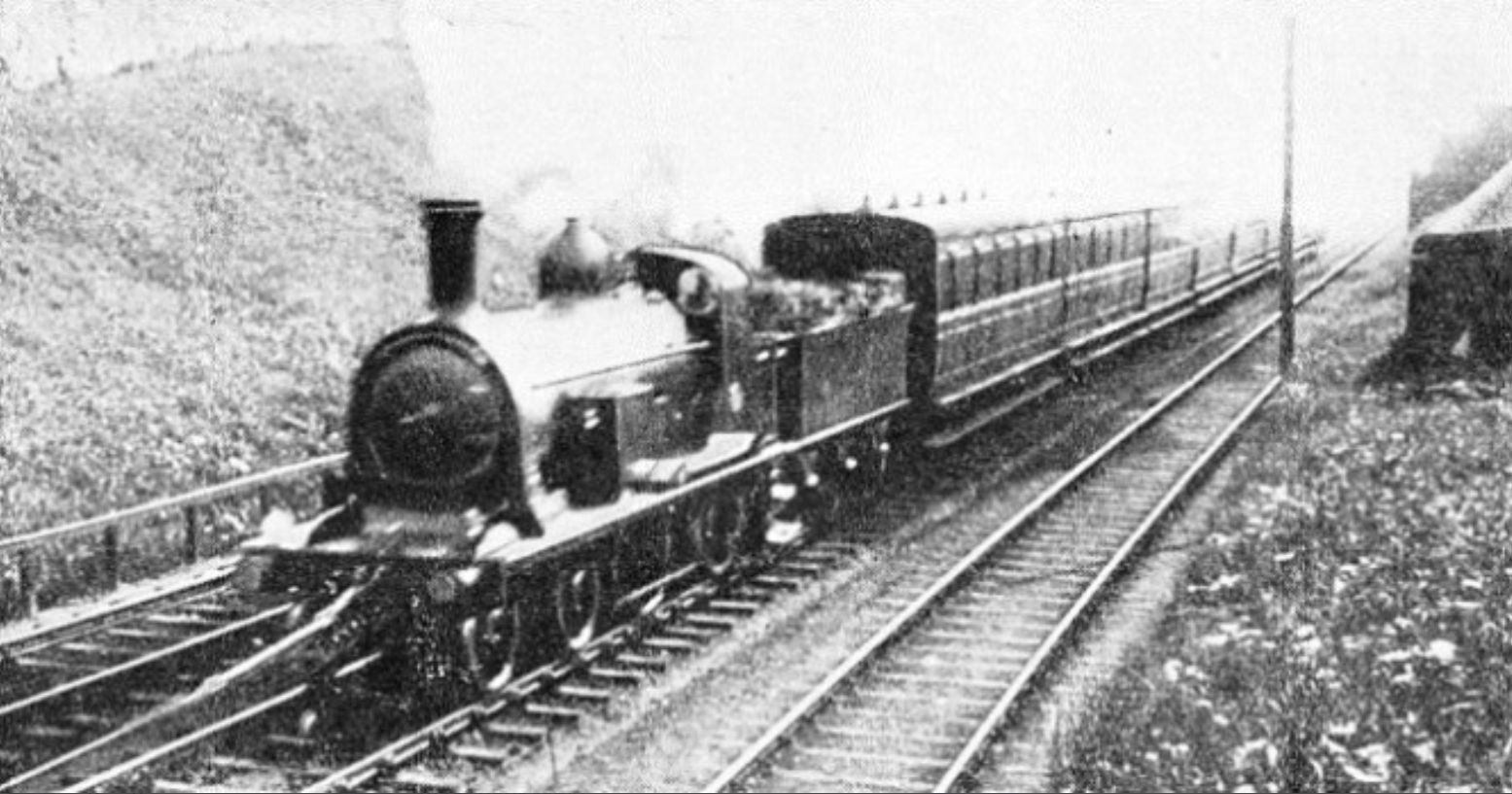
The Ratho Rail crash occurred on 3 January 1917 and killed 12 people. It occurred near Ratho Station in Scotland when an express collided with a light engine in stormy weather. Just west of the station lay Queensferry Junction where the line from Dalmeny via Kirkliston (now lifted) joined from the north. A train from Dalmeny came to a stand opposite the junction signalbox. The signalman had intended to keep it there until the 16:18 express from Edinburgh to Glasgow had passed. However he did not inform the driver and there was no fixed signal to hold him, instead a system of hand-signals was in use. The engine uncoupled and began to move towards the main line without his instructions. He put the main line signals to danger and blew his whistle but was unable to attract the driver's attention in the stormy conditions. The express, headed by NBR H class locomotive 874 ''Dunedin'', was heavily laden with people returning from their New Year's holiday including many soldiers. It ... [...More Info...] [...Related Items...] OR: [Wikipedia] [Google] [Baidu] |
Former North British Railway Stations
A former is an object, such as a template, gauge or cutting die, which is used to form something such as a boat's hull. Typically, a former gives shape to a structure that may have complex curvature. A former may become an integral part of the finished structure, as in an aircraft fuselage, or it may be removable, being used in the construction process and then discarded or re-used. Aircraft formers Formers are used in the construction of aircraft fuselage, of which a typical fuselage has a series from the nose cone to the empennage, typically perpendicular to the longitudinal axis of the aircraft. The primary purpose of formers is to establish the shape of the fuselage and reduce the column length of stringers to prevent instability. Formers are typically attached to longerons, which support the skin of the aircraft. The "former-and-longeron" technique (also called stations and stringers) was adopted from boat construction, and was typical of light aircraft built until t ... [...More Info...] [...Related Items...] OR: [Wikipedia] [Google] [Baidu] |
Railway Stations In Great Britain Opened In 1842
Rail transport (also known as train transport) is a means of transport using wheeled vehicles running in tracks, which usually consist of two parallel steel rails. Rail transport is one of the two primary means of land transport, next to road transport. It is used for about 8% of passenger and freight transport globally, thanks to its energy efficiency and potentially high speed.Rolling stock on rails generally encounters lower frictional resistance than rubber-tyred road vehicles, allowing rail cars to be coupled into longer trains. Power is usually provided by diesel or electric locomotives. While railway transport is capital-intensive and less flexible than road transport, it can carry heavy loads of passengers and cargo with greater energy efficiency and safety. Precursors of railways driven by human or animal power have existed since antiquity, but modern rail transport began with the invention of the steam locomotive in the United Kingdom at the beginning of the 19th c ... [...More Info...] [...Related Items...] OR: [Wikipedia] [Google] [Baidu] |


