|
Rajarhat (Community Development Block)
Rajarhat is a community development block that forms an administrative division in Bidhannagar subdivision of North 24 Parganas district in the Indian state of West Bengal. Geography Rajarhat Bishnupur, a constituent panchayat in Rajarhat block, is located at . Rajarhat CD Block is bounded by Barasat II CD Block in the north, Bhangar II CD Block in South 24 Parganas district in the east and south, Rajarhat-Gopalpur Municipality and Bidhannagar municipality (both part of Bidhannagar Municipal Corporation since 2015) in the west. Rajarhat CD Block is part of the North Hooghly Flat, one of the three physiographic regions in the district located in the lower Ganges Delta. It is a raised alluvium area along the Hooghly, which forms the western boundary of the district. Rajarhat CD Block has an area of 72.90 km2(according to 2011 census, including Mahisbathan II). It has 1 panchayat samity, 6 gram panchayats (now 5), 99 gram sansads (village councils), 39 mouzas and 38 inha ... [...More Info...] [...Related Items...] OR: [Wikipedia] [Google] [Baidu] [Amazon] |
|
 |
States And Territories Of India
India is a federalism, federal union comprising 28 federated state, states and 8 union territory, union territories, for a total of 36 subnational entities. The states and union territories are further subdivided into 800 List of districts in India, districts and smaller administrative divisions of India, administrative divisions by the respective subnational government. The states of India are self-governing administrative divisions, each having a State governments of India, state government. The governing powers of the states are shared between the state government and the Government of India, union government. On the other hand, the union territories are directly governed by the union government. History 1876–1919 The British Raj was a very complex political entity consisting of various imperial divisions and states and territories of varying autonomy. At the time of its establishment in 1876, it was made up of 584 princely state, constituent states and the prov ... [...More Info...] [...Related Items...] OR: [Wikipedia] [Google] [Baidu] [Amazon] |
 |
Barasat II
Barasat II is a community development block that forms an administrative division in Barasat Sadar subdivision of North 24 Parganas district in the Indian state of West Bengal. Geography Rohanda, a constituent panchayat of Barasat II block, is located at . Barasat II CD Block is bounded by Barasat I CD Block in the north, Deganga and Haroa CD Blocks in the west and Rajarhat CD Block in the south. The Barrackpore industrial area with such municipalities as Madhyamgram, Dum Dum and Rajarhat-Gopalpur (now merged with Bidhannagar Municipal Corporation) is in the west and Barasat municipality is in the north. Barasat II CD Block is part of the North Hooghly Flat, one of the three physiographic regions in the district located in the lower Ganges Delta. It is a raised alluvium area along the Hooghly, which forms the western boundary of the district. The Bidyadhari forms the eastern boundary of Barasat II CD Block with Deganga CD Block, and as such it is partly in the North ... [...More Info...] [...Related Items...] OR: [Wikipedia] [Google] [Baidu] [Amazon] |
|
Mouza
In Bangladesh, Pakistan and parts of India, a mouza or mauza (also mouja) is a type of administrative district, corresponding to a specific land area within which there may be one or more settlements. Before the 20th century, the term referred to a revenue collection unit just underneath a ''pargana'' or revenue district. The mauza system in the Indian Subcontinent is similar to the manorial system in Europe. The head of a mauza is styled as Mustajir, Pradhan or Mulraiyat, equivalent to Lord of the Manor in the manorial system. As populations increased and villages became more common and developed, the concept of the mouza declined in importance. Today it has become mostly synonymous with the ''gram'' or village. Most voter lists, for example, now use the names of villages rather than mouzas. In contemporary Pakistan, a mouza is defined as "a territorial unit with a separate name, definite boundaries, and area precisely measured and divided into plots/ khasras/survey numbers." ... [...More Info...] [...Related Items...] OR: [Wikipedia] [Google] [Baidu] [Amazon] |
|
|
Panchayat Samiti (Block)
Panchayat samiti or block panchayat is a rural local government (Panchayati raj (India), panchayat) body at the intermediate tehsil (taluka/mandal) or Blocks of India, block level in India. It works for the villages of the tehsil that together are called a development block. It has been said to be the "panchayat of panchayats". The Amendment of the Constitution of India, 73rd Amendment defines the levels of panchayati raj institution as : * District level * Intermediate level * Base level The panchayat samiti is the link between the Gram Panchayat, gram panchayat (village council) and the District Councils of India, zila parishad (district council). The name varies across states: ''mandal parishad'' in Andhra Pradesh, ''taluka panchayat'' in Gujarat, and ''mandal panchayat or taluk panchayat'' in Karnataka, ''block panchayat'' in Local government in Kerala, Kerala, ''panchayat union'' in Tamil Nadu, Tamilnadu, ''janpad panchayat'' in Madhya Pradesh, ''anchalik panchayat'' in A ... [...More Info...] [...Related Items...] OR: [Wikipedia] [Google] [Baidu] [Amazon] |
|
 |
Hooghly River
The Hooghly River (, also spelled ''Hoogli'' or ''Hugli'') is the westernmost distributary of the Ganges, situated in West Bengal, India. It is known in its upper reaches as the Bhagirathi. The Bhagirathi splits off from the main branch of the Ganges at Giria, India, Giria. A short distance west, it meets the man-made Farakka Feeder Canal, which massively increases its flow. The river then flows south to join the Jalangi River, Jalangi at Nabadwip, where it becomes the Hooghly proper. The Hooghly continues southwards, passing through the metropolis of Kolkata. Thereafter, it empties into the Bay of Bengal. Its tributaries include the Ajay River, Ajay, Damodar River, Damodar, Rupnarayan River, Rupnarayan, and Haldi River, Haldi. The Hooghly has religious significance as Hinduism, Hindus consider the river sacred. It also plays a major role in the agriculture, industry, and climate of the state. Course The vast majority of the water that flows into the Hooghly River is provided ... [...More Info...] [...Related Items...] OR: [Wikipedia] [Google] [Baidu] [Amazon] |
 |
Alluvium
Alluvium (, ) is loose clay, silt, sand, or gravel that has been deposited by running water in a stream bed, on a floodplain, in an alluvial fan or beach, or in similar settings. Alluvium is also sometimes called alluvial deposit. Alluvium is typically geologically young and is not Consolidation (geology), consolidated into solid rock. Sediments deposited underwater, in seas, estuaries, lakes, or ponds, are not described as alluvium. Floodplain alluvium can be highly fertile, and supported some of the earliest human civilizations. Definitions The present Scientific consensus, consensus is that "alluvium" refers to loose sediments of all types deposited by running water in floodplains or in alluvial fans or related landforms. However, the meaning of the term has varied considerably since it was first defined in the French dictionary of Antoine Furetière, posthumously published in 1690. Drawing upon concepts from Roman law, Furetière defined ''alluvion'' (the French term for al ... [...More Info...] [...Related Items...] OR: [Wikipedia] [Google] [Baidu] [Amazon] |
 |
Ganges Delta
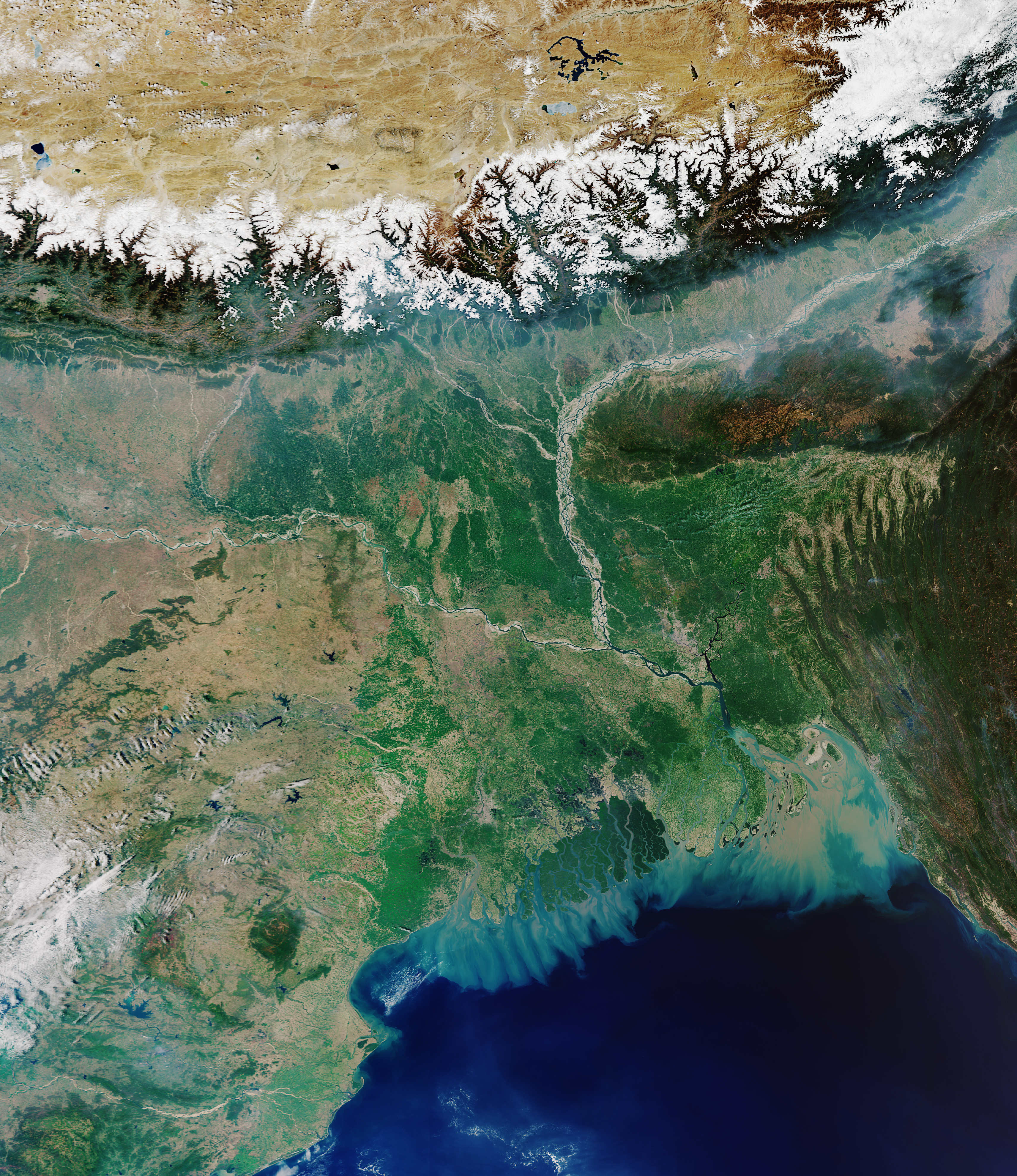
The Ganges Delta (also known the Ganges-Brahmaputra Delta, the Sundarbans Delta or the Bengal Delta) is a river delta predominantly covering the Bengal region of the Indian subcontinent, consisting of Bangladesh and the Indian state of West Bengal. It is the world's largest river delta and it empties into the Bay of Bengal with the combined waters of several river systems, mainly those of the Brahmaputra River and the Ganges River. It is also one of the most fertile regions in the world, thus earning the nickname the ''Green Delta''. The delta stretches from the Hooghly River in the west as far as the Meghna River in the east. Geography The Ganges Delta has the shape of a triangle and is considered to be "arcuate" (arc-shaped). It covers more than and lies mostly in Bangladesh and India, with rivers from Bhutan, Tibet, and Nepal draining into it from the north. 67% of the delta is inside Bangladesh and only 33% belongs to West Bengal. Most of the delta is composed of alluvia ... [...More Info...] [...Related Items...] OR: [Wikipedia] [Google] [Baidu] [Amazon] |
|
Bidhannagar Municipal Corporation
Bidhannagar Municipal Corporation is the local government responsible for the civic infrastructure and administration of Salt Lake and Rajarhat areas in Greater Kolkata. Bidhannagar Municipal Corporation was headed by Administrator Pawan Kadyan, IAS till elections were held in October 2015 after delimitation into 41 wards (Ward No.s 1 to 26 from Rajarhat-Gopalpur Municipality, Ward No. 27 from Mahishbathan II Gram Panchayat and Ward No.s 28 to 44 from Bidhannagar Municipality). This constituted its first Board of Councillors and Mayor-in-Council with Pawan Kadyan, IAS transitioning into the role of Municipal Commissioner. BMC consists of 41 wards (grouped in 6 boroughs). The Corporation is under administrative jurisdiction of Bidhannagar subdivision in the district of North 24 Parganas and police jurisdiction of Bidhannagar City Police. The current Municipal Commissioner is Sujay Sarkar, IAS, who has been in the post since 29 April 2022. Geography This civic administrative ... [...More Info...] [...Related Items...] OR: [Wikipedia] [Google] [Baidu] [Amazon] |