|
Polypogon Magellanicus
''Polypogon magellanicus'' is a species of grass. It has a circumpolar distribution and is native to many subantarctic islands in, and the coasts bordering, the Southern Ocean.New Zealand Plant Conservation Network. Description ''Polypogon magellanicus'' is a tufted perennial grass, varying in height from 50 to 450 mm and forming short grassland communities. The culms have purple nodes. The leaves are wiry. The panicles are 20–120 mm long, with many shiny, greenish-purple, distinctly awned spikelets.Flora of Australia Online. Taxonomy ''Polypogon magellanicus'' was scientifically described by Jean-Baptiste Lamarck in 1791 and named ''Agrostis magellanica''. The botanist Victor Lionel Finot reclassified it to the genus ''Polypogon'' with the name ''Polypogon magellanicus''. It has no accepted subspecies or varieties, but has synonyms. Distribution and habitat The grass is found in the south-west of New Zealand’s South Island and on the Antipodes, Auckland, a ... [...More Info...] [...Related Items...] OR: [Wikipedia] [Google] [Baidu] |
Species
A species () is often defined as the largest group of organisms in which any two individuals of the appropriate sexes or mating types can produce fertile offspring, typically by sexual reproduction. It is the basic unit of Taxonomy (biology), classification and a taxonomic rank of an organism, as well as a unit of biodiversity. Other ways of defining species include their karyotype, DNA sequence, morphology (biology), morphology, behaviour, or ecological niche. In addition, palaeontologists use the concept of the chronospecies since fossil reproduction cannot be examined. The most recent rigorous estimate for the total number of species of eukaryotes is between 8 and 8.7 million. About 14% of these had been described by 2011. All species (except viruses) are given a binomial nomenclature, two-part name, a "binomen". The first part of a binomen is the name of a genus to which the species belongs. The second part is called the specific name (zoology), specific name or the specific ... [...More Info...] [...Related Items...] OR: [Wikipedia] [Google] [Baidu] |
Homotypic Synonym
In taxonomy, the scientific classification of living organisms, a synonym is an alternative scientific name for the accepted scientific name of a taxon. The botanical and zoological codes of nomenclature treat the concept of synonymy differently. * In botanical nomenclature, a synonym is a scientific name that applies to a taxon that now goes by a different scientific name. For example, Linnaeus was the first to give a scientific name (under the currently used system of scientific nomenclature) to the Norway spruce, which he called '' Pinus abies''. This name is no longer in use, so it is now a synonym of the current scientific name, '' Picea abies''. * In zoology, moving a species from one genus to another results in a different binomen, but the name is considered an alternative combination rather than a synonym. The concept of synonymy in zoology is reserved for two names at the same rank that refers to a taxon at that rank – for example, the name ''Papilio prorsa'' Linnaeus ... [...More Info...] [...Related Items...] OR: [Wikipedia] [Google] [Baidu] |
Tierra Del Fuego
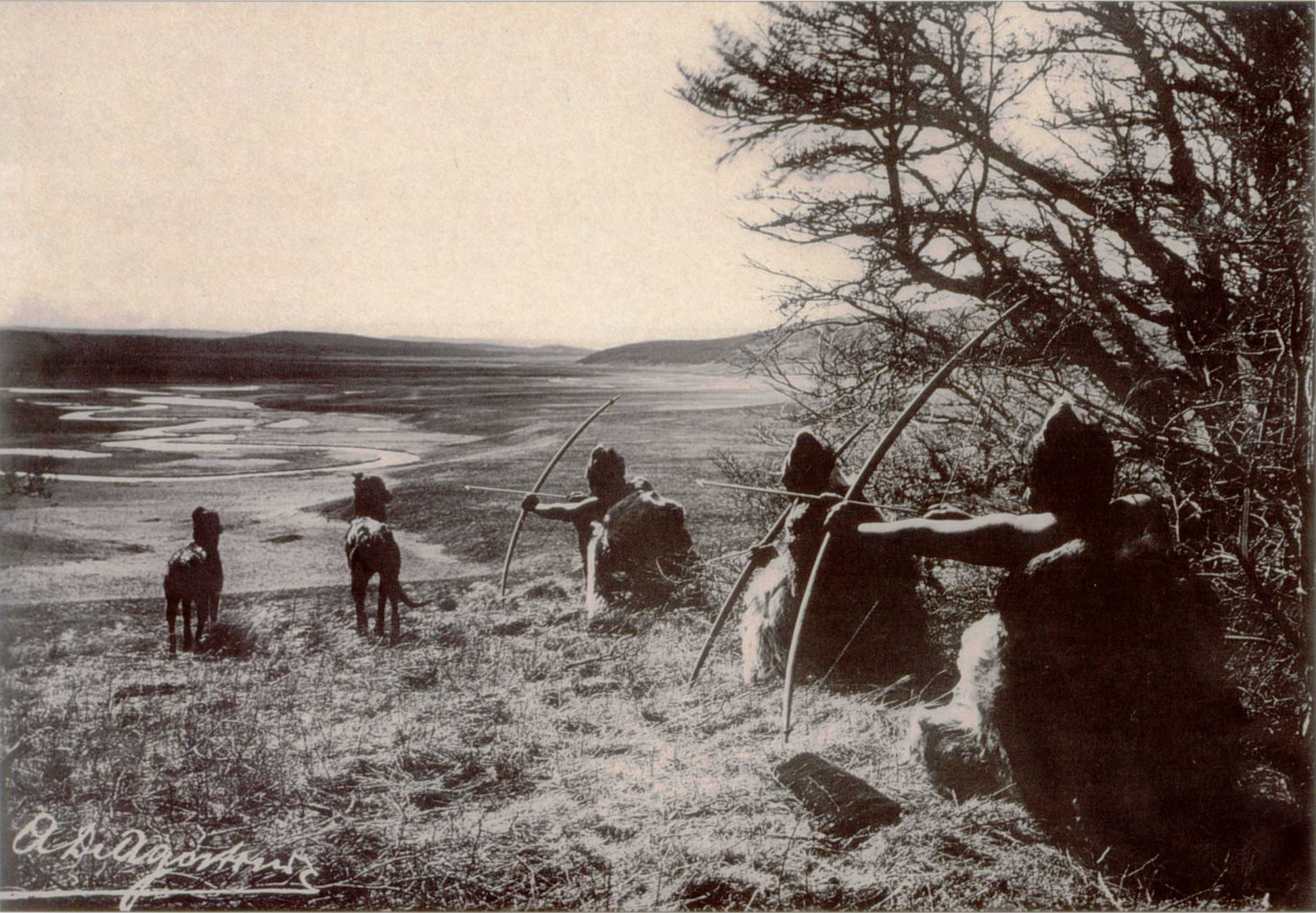
Tierra del Fuego (, ; Spanish for "Land of Fire", rarely also Fireland in English) is an archipelago off the southernmost tip of the South America, South American mainland, across the Strait of Magellan. The archipelago consists of the main island, Isla Grande de Tierra del Fuego, with an area of , along with numerous smaller islands, including Cape Horn and Diego Ramírez Islands. The western part of the Tierra del Fuego archipelago, about two-thirds including its many islands, is part of Chile, and the eastern part is part of Argentina. The southernmost extent of the archipelago, Cape Horn, lies just north of latitude 56th parallel south, 56°S. The earliest-known human settlement in Tierra del Fuego dates to approximately 8,000 BC. Europeans first explored the islands during Ferdinand Magellan's expedition of 1520. ''Tierra del Fuego'' ("Land of Fire") and similar names stem from sightings of the many fires that the inhabitants built along the coastline and possibly even in ... [...More Info...] [...Related Items...] OR: [Wikipedia] [Google] [Baidu] |
South America
South America is a continent entirely in the Western Hemisphere and mostly in the Southern Hemisphere, with a considerably smaller portion in the Northern Hemisphere. It can also be described as the southern Subregion#Americas, subregion of the Americas. South America is bordered on the west by the Pacific Ocean, on the north and east by the Atlantic Ocean, and to the south by the Drake Passage; North America and the Caribbean Sea lie to the northwest. The continent includes twelve sovereign states: Argentina, Bolivia, Brazil, Chile, Colombia, Ecuador, Guyana, Paraguay, Peru, Suriname, Uruguay, and Venezuela; two dependent territory, dependent territories: the Falkland Islands and South Georgia and the South Sandwich Islands; and one administrative division, internal territory: French Guiana. The Dutch Caribbean ABC islands (Leeward Antilles), ABC islands (Aruba, Bonaire, and Curaçao) and Trinidad and Tobago are geologically located on the South-American continental shel ... [...More Info...] [...Related Items...] OR: [Wikipedia] [Google] [Baidu] |
Prince Edward Islands
The Prince Edward Islands are two small uninhabited subantarctic volcanic islands in the southern Indian Ocean that are administered by South Africa. They are named Marion Island (named after Marc-Joseph Marion du Fresne, 1724–1772) and Prince Edward Island (named after Prince Edward, Duke of Kent and Strathearn, 1767–1820). The islands in the group have been declared Special Nature Reserves under the South African Environmental Management: Protected Areas Act, No. 57 of 2003, and activities on the islands are therefore restricted to research and conservation management. Further protection was granted when the area was declared a marine protected area in 2013. The only human inhabitants of the islands are the staff of a meteorological and biological research station run by the South African National Antarctic Programme on Marion Island. History Barent Barentszoon Lam of the Dutch East India Company reached the islands on 4 March 1663 on the ship ''Maerseveen''. They ... [...More Info...] [...Related Items...] OR: [Wikipedia] [Google] [Baidu] |
Crozet Islands
The Crozet Islands (; or, officially, ''Archipel Crozet'') are a sub-Antarctic archipelago of small islands in the southern Indian Ocean. They form one of the five administrative districts of the French Southern and Antarctic Lands. History Discovery and early history The Crozet Islands were discovered on 24 January 1772, by the expedition of French explorer Marc-Joseph Marion du Fresne, aboard ''Le Mascarin''. His second-in-command, Julien-Marie Crozet, landed on Île de la Possession, claiming the archipelago for France. In 1776, Crozet met James Cook at Cape Town, at the start of Cook's third voyage. Crozet shared the charts of his ill-fated expedition, and as Cook sailed eastward, he stopped at the islands, naming the western group ''Marion'' and the eastern group ''Crozet''. In the following years, sealers visiting the islands referred to both the eastern and western groups as the Crozet Islands, and Marion Island became the name of the larger of the two Prince Edward ... [...More Info...] [...Related Items...] OR: [Wikipedia] [Google] [Baidu] |
Kerguelen Islands
The Kerguelen Islands ( or ; in French commonly ' but officially ', ), also known as the Desolation Islands (' in French), are a group of islands in the subantarctic, sub-Antarctic region. They are among the Extremes on Earth#Remoteness, most isolated places on Earth, with the closest territory being the Heard Island and McDonald Islands territory of Australia located at roughly , and the nearest inhabited territory being Madagascar at more than in distance. The islands, along with Adélie Land, the Crozet Islands, Île Amsterdam, Amsterdam and Île Saint-Paul, Saint Paul islands, and France's Scattered Islands in the Indian Ocean, are part of the French Southern and Antarctic Lands and are administered as a separate district. The islands constitute one of the two exposed parts of the Kerguelen Plateau (the other being Heard Island and the McDonald islands), a large igneous province mostly submerged in the southern Indian Ocean. The main island, Grande Terre, is in area, about ... [...More Info...] [...Related Items...] OR: [Wikipedia] [Google] [Baidu] |
Falkland Islands
The Falkland Islands (; ), commonly referred to as The Falklands, is an archipelago in the South Atlantic Ocean on the Patagonian Shelf. The principal islands are about east of South America's southern Patagonian coast and from Cape Dubouzet at the northern tip of the Antarctic Peninsula, at a latitude of about 52°S. The archipelago, with an area of , comprises East Falkland, West Falkland, and 776 smaller islands. As a British Overseas Territory, the Falklands have internal self-governance, while the United Kingdom takes responsibility for their defence and foreign affairs. The capital and largest settlement is Stanley, Falkland Islands, Stanley on East Falkland. The islands are believed to have been uninhabited prior to European discovery in the 17th century. Controversy exists over the Falklands' discovery and subsequent colonisation by Europeans. At various times, the islands have had French, British, Spanish, and Argentine settlements. Britain Reassertion of Britis ... [...More Info...] [...Related Items...] OR: [Wikipedia] [Google] [Baidu] |
Macquarie Island
Macquarie Island is a subantarctic island in the south-western Pacific Ocean, about halfway between New Zealand and Antarctica. It has been governed as a part of Tasmania, Australia, since 1880. It became a Protected areas of Tasmania, Tasmanian State Reserve in 1978 and was inscribed as a UNESCO World Heritage Site in 1997. Macquarie Island is an exposed portion of the Macquarie Fault Zone, Macquarie Ridge and is located where the Australian Plate meets the Pacific Plate. The island is home to the entire royal penguin population during their annual nesting season. Ecologically, the island is part of the Antipodes Subantarctic Islands tundra ecoregion. History 19th century Frederick Hasselborough, an Australian, discovered the uninhabited island on 11 July 1810, while looking for new seal hunting, sealing grounds. He claimed Macquarie Island for United Kingdom, Britain and annexation, annexed it to the colony of New South Wales in 1810. The island was named for Colonel Lachla ... [...More Info...] [...Related Items...] OR: [Wikipedia] [Google] [Baidu] |
Campbell Island, New Zealand
Campbell Island / Motu Ihupuku is an uninhabited subantarctic island of New Zealand, and the main island of the Campbell Island group. The island lies around south of New Zealand's South Island. It covers of the group's , and is surrounded by numerous stacks, rocks and islets like Dent Island, Folly Island (or Folly Islands), Isle de Jeanette-Marie, and Jacquemart Island, the latter being the southernmost extremity of New Zealand. It is mountainous, rising to over in the south. A long fiord, Perseverance Harbour, nearly bisects it, opening out to sea on the east coast. The island is listed with the New Zealand Outlying Islands. The island is an immediate part of New Zealand, but not part of any region or district, but instead ''Area Outside Territorial Authority'', like all other outlying islands, other than the Solander Islands. It is the closest piece of land to the antipodal point of the United Kingdom and Ireland, and the city furthest away is Limerick, Irel ... [...More Info...] [...Related Items...] OR: [Wikipedia] [Google] [Baidu] |
Auckland Islands
The Auckland Islands ( Māori: ''Motu Maha'' "Many islands" or ''Maungahuka'' "Snowy mountains") are an archipelago of New Zealand, lying south of the South Island. The main Auckland Island, occupying , is surrounded by smaller Adams Island, Enderby Island, Disappointment Island, Ewing Island, Rose Island, Dundas Island, and Green Island, with a combined area of . The islands have no permanent human inhabitants. The islands are listed with the New Zealand Outlying Islands. The islands are an immediate part of New Zealand, but not part of any region or district, but instead ''Area Outside Territorial Authority'', like all the other outlying islands except the Solander Islands. Ecologically, the Auckland Islands form part of the Antipodes Subantarctic Islands tundra ecoregion. Along with other New Zealand Subantarctic Islands, they were designated a UNESCO World Heritage Site in 1998. Geography The Auckland Islands lie south of Stewart Island, and from the South ... [...More Info...] [...Related Items...] OR: [Wikipedia] [Google] [Baidu] |
Antipodes Islands
The Antipodes Islands (, ) are inhospitable and uninhabited volcanic islands in subantarctic waters to the south of – and territorially part of – New Zealand. The archipelago lies to the southeast of Stewart Island / Rakiura, and to the northeast of Campbell Island, New Zealand, Campbell Island. The island group consists of one main island, Antipodes Island, of area, Bollons Island to the north, and numerous small islets and Stack (geology), stacks. The islands are listed with the New Zealand Outlying Islands. The islands are an immediate part of New Zealand, but not part of any Regions of New Zealand, region or Territorial Authorities of New Zealand, district, but instead ''Area Outside Territorial Authority'', like all the other outlying islands except the Solander Islands. Ecologically, the islands are part of the Antipodes Subantarctic Islands tundra ecoregion. The islands are inscribed on the UNESCO World Heritage Site, World Heritage List, together with other N ... [...More Info...] [...Related Items...] OR: [Wikipedia] [Google] [Baidu] |


