|
Plectorhinchus Lineata
''Plectorhinchus lineatus'', also known as the yellowbanded sweetlips, oblique-banded sweetlips, diagonal-banded sweetlips, Goldman's sweetlips, lined blubber-lips, lined sweetlips, many-lined sweetlips, striped sweetlips and yellowband sweetlips, is a species of marine ray-finned fish, a sweetlips belonging to the subfamily Plectorhinchinae, one of two subfamilies in the family Haemulidae, the grunts. It inhabits coral reefs of the western Pacific Ocean, where it occurs at depths from . Description ''Plectorhinchus lineatus'' has fleshy lips which become moderately swollen with age, it has 6 pores on its chin but has no median pit. The dorsal fin contains 12-13 spines and 18-19 soft rays while the anal fin has 3 spines and 7-8 soft rays. The overall colour is light grey which becomes white on the belly. It has prominent yellow lips and the upper part of the body is marked with a large number of broken, diagonal black stripes. The fins are yellow, the caudal, anal and dors ... [...More Info...] [...Related Items...] OR: [Wikipedia] [Google] [Baidu] |
Carl Linnaeus
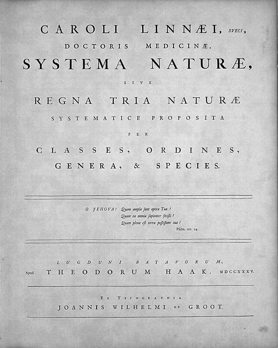
Carl Linnaeus (; 23 May 1707 – 10 January 1778), also known after his ennoblement in 1761 as Carl von Linné Blunt (2004), p. 171. (), was a Swedish botanist, zoologist, taxonomist, and physician who formalised binomial nomenclature, the modern system of naming organisms. He is known as the "father of modern taxonomy". Many of his writings were in Latin; his name is rendered in Latin as and, after his 1761 ennoblement, as . Linnaeus was born in Råshult, the countryside of Småland, in southern Sweden. He received most of his higher education at Uppsala University and began giving lectures in botany there in 1730. He lived abroad between 1735 and 1738, where he studied and also published the first edition of his ' in the Netherlands. He then returned to Sweden where he became professor of medicine and botany at Uppsala. In the 1740s, he was sent on several journeys through Sweden to find and classify plants and animals. In the 1750s and 1760s, he continued to coll ... [...More Info...] [...Related Items...] OR: [Wikipedia] [Google] [Baidu] |
New Ireland (island)
New Ireland ( Tok Pisin: ''Niu Ailan'') or Latangai, is a large island in Papua New Guinea, approximately in area with 120,000 people. It is named after the island of Ireland. It is the largest island of New Ireland Province, lying northeast of the island of New Britain. Both islands are part of the Bismarck Archipelago, named after Otto von Bismarck, and they are separated by Saint George's Channel. The administrative centre of the island and of New Ireland province is the town of Kavieng located at the northern end of the island. While the island was part of German New Guinea, it was named Neumecklenburg ("New Mecklenburg"). Geography The island is part of the Bismarck Archipelago and is often described as having the shape of a musket. New Ireland is surrounded by the Bismarck Sea in the southwest and by the Pacific Ocean in the northeast. For much of its in length, the island's width varies between less than to , yet the central mountainous spine is very st ... [...More Info...] [...Related Items...] OR: [Wikipedia] [Google] [Baidu] |
Species Description
A species description is a formal description of a newly discovered species, usually in the form of a scientific paper. Its purpose is to give a clear description of a new species of organism and explain how it differs from species that have been described previously or are related. In order for species to be validly described, they need to follow guidelines established over time. Zoological naming requires adherence to the ICZN code, plants, the ICN, viruses ICTV, and so on. The species description often contains photographs or other illustrations of type material along with a note on where they are deposited. The publication in which the species is described gives the new species a formal scientific name. Some 1.9 million species have been identified and described, out of some 8.7 million that may actually exist. Millions more have become extinct throughout the existence of life on Earth. Naming process A name of a new species becomes valid (available in zo ... [...More Info...] [...Related Items...] OR: [Wikipedia] [Google] [Baidu] |
Spawn (biology)
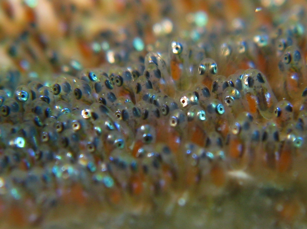
Spawn is the eggs and sperm released or deposited into water by aquatic animals. As a verb, ''to spawn'' refers to the process of releasing the eggs and sperm, and the act of both sexes is called spawning. Most aquatic animals, except for aquatic mammals and reptiles, reproduce through the process of spawning. Spawn consists of the reproductive cells (gametes) of many aquatic animals, some of which will become fertilized and produce offspring. The process of spawning typically involves females releasing ova (unfertilized eggs) into the water, often in large quantities, while males simultaneously or sequentially release spermatozoa ( milt) to fertilize the eggs. Most fish reproduce by spawning, as do most other aquatic animals, including crustaceans such as crabs and shrimps, molluscs such as oysters and squid, echinoderms such as sea urchins and sea cucumbers, amphibians such as frogs and newts, aquatic insects such as mayflies and mosquitoes and corals, which are actuall ... [...More Info...] [...Related Items...] OR: [Wikipedia] [Google] [Baidu] |
Sea Grass
Seagrasses are the only flowering plants which grow in marine environments. There are about 60 species of fully marine seagrasses which belong to four families ( Posidoniaceae, Zosteraceae, Hydrocharitaceae and Cymodoceaceae), all in the order Alismatales (in the clade of monocotyledons). Seagrasses evolved from terrestrial plants which recolonised the ocean 70 to 100 million years ago. The name ''seagrass'' stems from the many species with long and narrow leaves, which grow by rhizome extension and often spread across large " meadows" resembling grassland; many species superficially resemble terrestrial grasses of the family Poaceae. Like all autotrophic plants, seagrasses photosynthesize, in the submerged photic zone, and most occur in shallow and sheltered coastal waters anchored in sand or mud bottoms. Most species undergo submarine pollination and complete their life cycle underwater. While it was previously believed this pollination was carried out without po ... [...More Info...] [...Related Items...] OR: [Wikipedia] [Google] [Baidu] |
Queensland
) , nickname = Sunshine State , image_map = Queensland in Australia.svg , map_caption = Location of Queensland in Australia , subdivision_type = Country , subdivision_name = Australia , established_title = Before federation , established_date = Colony of Queensland , established_title2 = Separation from New South Wales , established_date2 = 6 June 1859 , established_title3 = Federation of Australia, Federation , established_date3 = 1 January 1901 , named_for = Queen Victoria , demonym = , capital = Brisbane , largest_city = capital , coordinates = , admin_center_type = Administration , admin_center = Local government areas of Queensland, 77 local government areas , leader_title1 = Monarchy of Australia, Monarch , leader_name1 = Charles III , leader_title2 = Governor of Queensland, Governor , leader_name2 = Jeannette Young , leader_title3 = Premier of Queensland, Premier , leader_name3 = Annastacia Palaszczuk (Australian Labor Party (Queensland Branch), AL ... [...More Info...] [...Related Items...] OR: [Wikipedia] [Google] [Baidu] |
Gold Coast Seaway
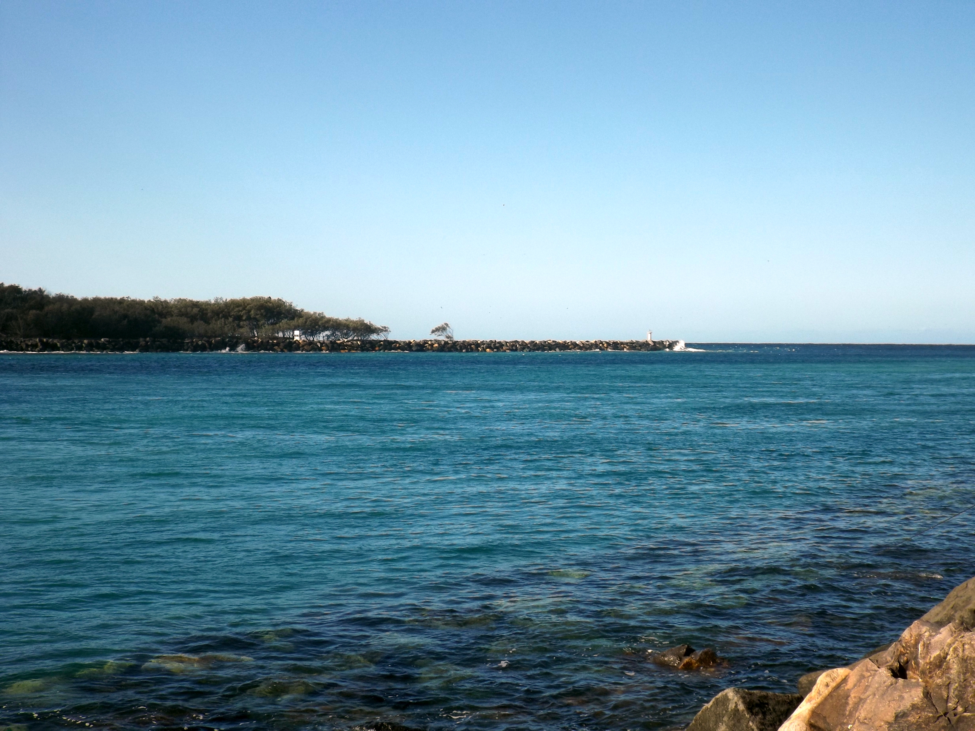
The Gold Coast Seaway or Southport Seaway is the main navigation entrance from the Pacific Ocean into the Gold Coast Broadwater and southern Moreton Bay and is one of Australia's most significant coastal engineering projects. It is located at the northern end of the Southport Spit where the Nerang River enters the Pacific Ocean. The channel was constructed between 1984 and 1986, primarily to facilitate the safe passage of sea-faring vessels. The passage was previously known as the Southport Bar. The mouth of the Nerang River was once located further south in Broadbeach. The main driving force for this movement is the northward drift of sand along the coast. Before the bypass system was implemented the mouth of the Nerang River moved northwards at a rate of 60 metres per year. This northward drift was responsible for the unstable and shifting conditions of the bar, which made crossing it so hazardous for small boats. The southern training wall of the Gold Coast Seaway ... [...More Info...] [...Related Items...] OR: [Wikipedia] [Google] [Baidu] |
Capricorn Islands
The islands and reefs of the Capricorn and Bunker Group are situated astride the Tropic of Capricorn at the southern end of the Great Barrier Reef, approximately 80 kilometres east of Gladstone, which is situated on the central coast of the Gladstone Region, Queensland, Australia. Many of these islands form part of the Capricornia Cays National Park and are part of the Great Barrier Reef World Heritage Area. General The Capricorn and Bunker group of islands of the southern Great Barrier Reef lies between from the adjacent departure ports and urban centres of Yeppoon, Gladstone, Town of 1770 and Bundaberg. The Capricorn and Bunker groups (including Lady Elliot Island and Reef) are a distinct group of 22 reefs straddling the Tropic of Capricorn, at the southern end of the Great Barrier Reef. There are 16 permanent coral cays on these reefs, including twin cays on Hoskyn and Fairfax Reefs. North West Island () is the largest coral cay in the Great Barrier Re ... [...More Info...] [...Related Items...] OR: [Wikipedia] [Google] [Baidu] |
Great Barrier Reef
The Great Barrier Reef is the world's largest coral reef system composed of over 2,900 individual reefs and 900 islands stretching for over over an area of approximately . The reef is located in the Coral Sea, off the coast of Queensland, Australia, separated from the coast by a channel 100 miles wide in places and over 200 feet deep. The Great Barrier Reef can be seen from outer space and is the world's biggest single structure made by living organisms. This reef structure is composed of and built by billions of tiny organisms, known as coral polyps. It supports a wide diversity of life and was selected as a World Heritage Site in 1981. CNN labelled it one of the seven natural wonders of the world in 1997. Australian World Heritage places included it in its list in 2007. The Queensland National Trust named it a state icon of Queensland in 2006. A large part of the reef is protected by the Great Barrier Reef Marine Park, which helps to limit the impact of human use, suc ... [...More Info...] [...Related Items...] OR: [Wikipedia] [Google] [Baidu] |
Timor Sea
The Timor Sea ( id, Laut Timor, pt, Mar de Timor, tet, Tasi Mane or ) is a relatively shallow sea bounded to the north by the island of Timor, to the east by the Arafura Sea, and to the south by Australia. The sea contains a number of reefs, uninhabited islands and significant hydrocarbon reserves. International disputes emerged after the reserves were discovered resulting in the signing of the Timor Sea Treaty. The Timor Sea was hit by the worst oil spill for 25 years in 2009. It is possible that Australia's first inhabitants crossed the Timor Sea from the Malay Archipelago at a time when sea levels were lower. Etymology The Timor Sea is named after Timor, the island on the other side of the sea's northern coastline. The island's name is a variant of , Malay for "east". In Tetum, the expression () is often used to refer to the Timor Sea. The counterpart of that body of water, the ' Ombai-Wetar Strait', which has smaller waves, is less turbid, and washes most of Ti ... [...More Info...] [...Related Items...] OR: [Wikipedia] [Google] [Baidu] |
Scott And Seringapatam Reefs
Scott and Seringapatam Reefs is a group of atoll-like reefs in the Timor Sea more than northwest of Cape Leveque, Western Australia, on the edge of the continental shelf. There are three or four separate reef structures, depending on whether Scott Reef Central is counted separately. The group is just one of a number of reef formations off the northwest coast of Australia and belongs to Western Australia. Further to the northeast are Ashmore and Cartier Islands, and to the southwest are the Rowley Shoals. Location and Description Each of the reefs rises steeply from the seabed below. Much of the reef area dries at low tide, but besides Sandy Islet of Scott Reef South, there are only a few rocks and sandbanks above the high water mark. *Scott Reef South (also Horseshoe Reef or South Reef) is a large crescent-shaped formation that has a rare and unusual double reef crest. Its lagoon, has depths of over throughout the greater portion. The reef with its lagoon covers an a ... [...More Info...] [...Related Items...] OR: [Wikipedia] [Google] [Baidu] |


