|
Petroleum Road
The Petroleum Road or Tapline Road (Hebrew: כביש הנפט, ''Kvish HaNeft'') is a long, privately owned north-south asphalt road in the Golan Heights. The name ''Petroleum Road'' derives from the now defunct oil pipeline of the Trans-Arabian Pipeline Company, which the road runs adjacent to. It begins near Mount Peres on the east edge of the central Golan and ends in the northern Golan near the Israeli-occupied Golan-Lebanese frontier, nearby Ghajar. Most of it is marked on maps as inaccessible because of poor road quality. Since the road diagonally bisects the entire length of the northern portion of the Golan Heights, it was the site of many battles fought along its axis during the Yom Kippur War in 1973. The Trans-Arabian Pipeline The Trans-Arabian Pipeline was established as part of a joint initiative of several American companies, and it stretches 1,214 km from Qaisumah in Saudi Arabia to the port of Sidon in Lebanon. During the Six-Day War, Israel took contro ... [...More Info...] [...Related Items...] OR: [Wikipedia] [Google] [Baidu] |
Ghajar
Ghajar (, or ), also Rhadjar, is an Alawite-Arab village on the Hasbani River, on the border between Lebanon and the Israeli-occupied portion of the Golan Heights. The name of the village means "gypsy" in Arabic. As of , it had a population of , most of whom consider themselves Syrian but have Israeli ID cards. The Blue Line divides Ghajar between Lebanon and the Golan Heights, although Israel has occupied the entire village since 2006. Israel considers it a part of its Northern District, in which its southern part is organized as a local council in the Golan Subdistrict. History Early history Control over Ghajar has changed hands many times. Three hundred years ago, the village was known as Taranjeh. It was renamed Ghajar under the rule of the Ottoman Empire, when the land was allegedly seized from the "villagers" by Kurds and forcibly sold. According to "local" legend, the Kurdish governor of Ghajar tried to ride his horse onto the tomb of a local holy man, Sheikh al-A ... [...More Info...] [...Related Items...] OR: [Wikipedia] [Google] [Baidu] |
Sea Of Galilee
The Sea of Galilee (, Judeo-Aramaic languages, Judeo-Aramaic: יַמּא דטבריא, גִּנֵּיסַר, ), also called Lake Tiberias, Genezareth Lake or Kinneret, is a freshwater lake in Israel. It is the lowest freshwater lake on Earth and the second-lowest lake in the world (after the Dead Sea, a salt lake), with its elevation fluctuating between below sea level (depending on rainfall). It is approximately in circumference, about long, and wide. Its area is at its fullest, and its maximum depth is approximately .Data Summary: Lake Kinneret (Sea of Galilee) The lake is fed partly by underground springs, but its main source is the Jordan River, which flows through it from north to south with the outflow controlled by the Degania Dam. |
Keshet, Golan Heights
Keshet () is an Israeli settlement in the Golan Heights, organized as a moshav shitufi. It was established in 1974 after the Yom Kippur War by young activists near the Syrian city of Quneitra, which had been occupied and subsequently razed to the ground in the Six-Day War.Andrew Beattie, Timothy Pepper, ''The Rough Guide to Syria'' 2nd edition, p. 146. Rough Guides, 2001. Its name is a translation of the name Quneitra ("arch"). In it had a population of . The international community considers Israeli settlements in the Golan Heights illegal under international law, but the Israeli government disputes this. Geography Keshet is situated near the volcanic cone of Mount Peres at above sea level. It is located just south of Highway 87 between the Keshet Junction and the Bashan Junction. History Keshet was established in the period between the cease-fire and armistice agreement following the Yom Kippur War by national-religious and secular demonstrators who opposed an Israe ... [...More Info...] [...Related Items...] OR: [Wikipedia] [Google] [Baidu] |
Yonatan (moshav)
Yonatan () is an Israeli settlement and moshav located in the central Golan Heights. Initially a moshav shitufi, it underwent a privatization process to become a community settlement. The settlement is affiliated with the Hapoel HaMizrachi movement, and is under the jurisdiction of Golan Regional Council. In it had a population of . The international community considers Israeli settlements in the Golan Heights illegal under international law, but the Israeli government disputes this. Etymology The settlement is named after Yonatan Rosenman, who was killed while operating a tank during the Yom Kippur War. [Baidu] |
Ecological Corridor
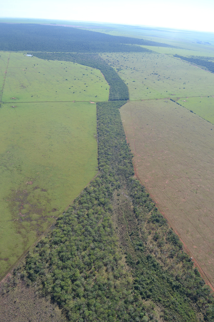
A wildlife corridor, also known as a habitat corridor, or green corridor, is a designated area that connects wildlife populations that have been separated by human activities or structures, such as development, roads, or land clearings. These corridors enable movement of individuals between populations, which helps to prevent negative effects of inbreeding and reduced genetic diversity, often caused by genetic drift, that can occur in isolated populations. Additionally, corridors support the re-establishment of populations that may have been reduced or wiped out due to random events like fires or disease. They can also mitigate some of the severe impacts of habitat fragmentation, a result of urbanization that divides habitat areas and restricts animal movement. Habitat fragmentation from human development poses an increasing threat to biodiversity, and habitat corridors help to reduce its harmful effects. Corridors aside from their benefit to vulnerable wildlife populations can ... [...More Info...] [...Related Items...] OR: [Wikipedia] [Google] [Baidu] |
Viewing Point
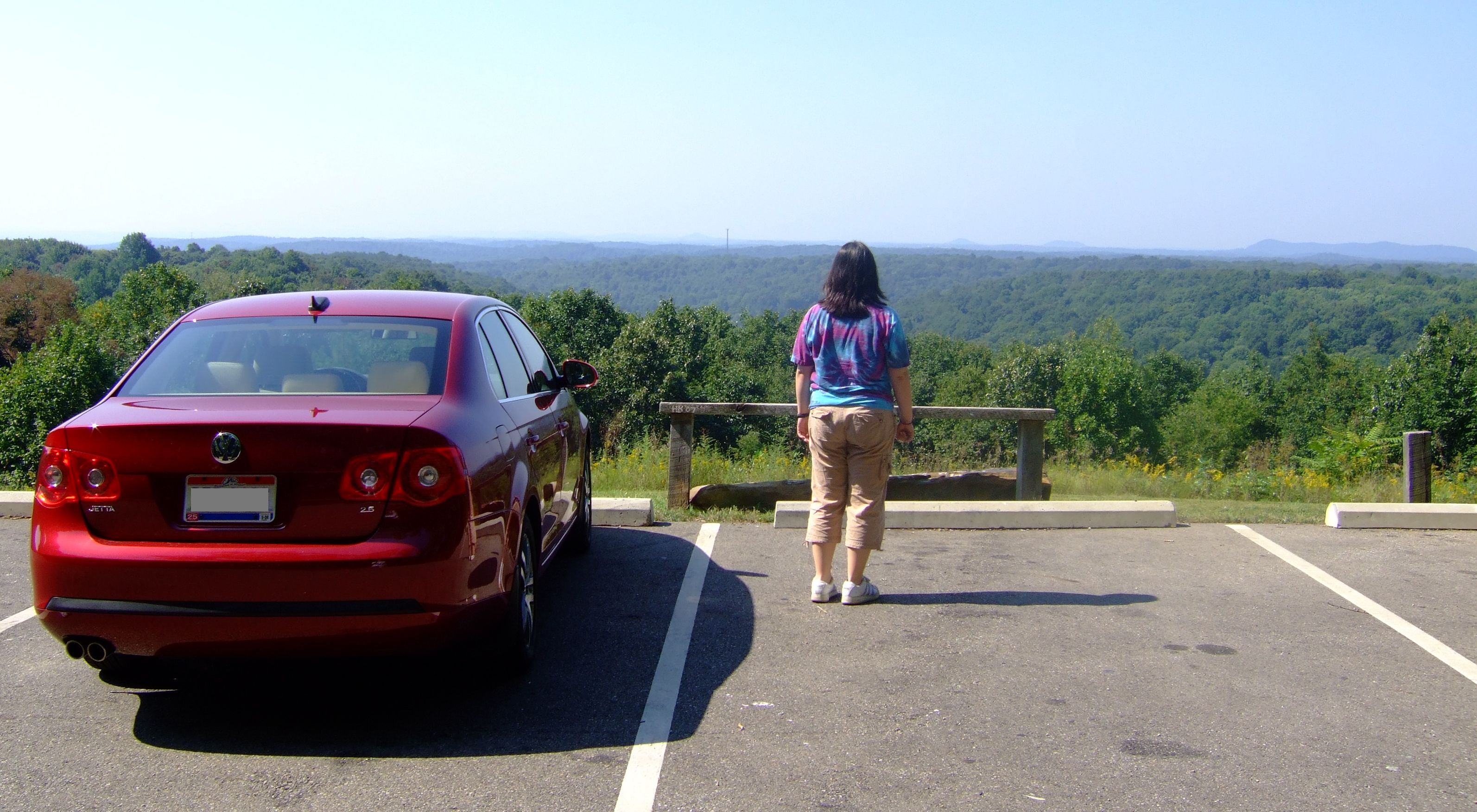
A scenic viewpoint—also called an observation point, viewpoint, viewing point, vista point, scenic overlook,These terms are more commonly used in North America. etc.—is an elevated location where people can view scenery (often with binoculars) and photograph it. Scenic viewpoints may be created alongside scenic routes or mountain roads, often as simple turnouts or lay-bys where motorists can pull over onto pavement, gravel, or grass on the right-of-way. Locations Many viewpoints are larger, having parking areas, while some (typically on larger highways) are off the road completely. Viewing points may also be found on hill or mountain tops or on rocky spurs overlooking a valley and reached via a hiking trail. They may be protected by railings to protect the public or be enhanced by a viewing tower designed to elevate visitors above the surrounding terrain or trees in order to offer panoramic views. Overlooks are frequently found in national parks and in the U.S. ... [...More Info...] [...Related Items...] OR: [Wikipedia] [Google] [Baidu] |
Israel Nature And Parks Authority
The Israel Nature and Parks Authority (, ; ) is an Israeli government organization that manages nature reserves and national parks in Israel, the Golan Heights and parts of the West Bank. The organization was founded in April 1998, merging two organizations (The National Parks Authority and the Nature Reserves Authority) that had managed the nature reserves and national parks separately since 1964. The director of the Authority is Raya Shurki. The symbol of the Israel Nature and Parks Authority is the ibex, a mountain goat similar to the antelope. One of the missions of the Israel Nature and Parks Authority is enforcing Israeli wildlife protection laws. Regions As of 2015, the Israel Nature and Parks Authority was the overseer of 400 nature reserves and 81 national parks, covering over 20 percent of Israel’s land mass. [...More Info...] [...Related Items...] OR: [Wikipedia] [Google] [Baidu] |
Route 999 (Israel)
Route 999 is an east–west regional route in the northern Golan Heights, which Israel captured from Syria in the Six-Day War in 1967. Its access is restricted to Israeli army vehicles for almost its entire length. It begins from Si'on (Hebrew: שיאון, pronounced "see-OWN") adjacent to the community Snir and the village Ghajar, where it splits north from Highway 99. About 2 km after this junction stands an IDF checkpoint. After the checkpoint, the road moves in a northeast direction and climbs steeply on Shebaa farms in parallel with the international border between Golan Heights and Lebanon (the Blue Line). The road passes near the Shebaa farms while on its steep course in the Mount Hermon nature reserve. For the entire length of the road, IDF installations are standing, and it ends its length of 29 km with another IDF checkpoint near the lower cable car of Mount Hermon, where it meets Highway 98. Next to the road is Mount Betarim, on which a place is marked as the locat ... [...More Info...] [...Related Items...] OR: [Wikipedia] [Google] [Baidu] |
Purple Line (border)
The Purple Line was the ceasefire line between Israel and Syria after the 1967 Six-Day War which serves as the de facto border between the two countries. In 2024 following the fall of Ba'athist Syria, Israel broke the Purple Line during its invasion of Syria. History Syria gained independence from France in 1946 and on 14 May 1948, the British withdrew from Palestine as Israel declared its independence. Syrian forces participated in the 1948 Arab–Israeli War between Arab forces and the newly established State of Israel. In 1949, armistice agreements were signed and a provisional border between Syria and Israel was delineated (based on the 1923 international border; see '' San Remo conference''). Syrian and Israeli forces clashed on numerous occasions in the spring of 1951. The hostilities, which stemmed from Syrian opposition to an Israeli drainage project in the demilitarized zone, ceased on 15 May, after intercession by the United Nations Security Council. In June 1967 ... [...More Info...] [...Related Items...] OR: [Wikipedia] [Google] [Baidu] |
Fortification
A fortification (also called a fort, fortress, fastness, or stronghold) is a military construction designed for the defense of territories in warfare, and is used to establish rule in a region during peacetime. The term is derived from Latin ("strong") and ("to make"). From very early history to modern times, defensive walls have often been necessary for cities to survive in an ever-changing world of invasion and conquest. Some settlements in the Indus Valley Civilization were the first small cities to be fortified. In ancient Greece, large cyclopean stone walls fitted without mortar had been built in Mycenaean Greece, such as the ancient site of Mycenae. A Greek ''Towns of ancient Greece#Military settlements, phrourion'' was a fortified collection of buildings used as a military garrison, and is the equivalent of the ancient Roman, Roman castellum or fortress. These constructions mainly served the purpose of a watch tower, to guard certain roads, passes, and borders. Th ... [...More Info...] [...Related Items...] OR: [Wikipedia] [Google] [Baidu] |
Davar
''Davar'' (, lit. ''Speech, Word'') was a Hebrew-language daily newspaper published in the British Mandate of Palestine and Israel between 1925 and May 1996. A similarly named website was launched in 2016, under the name ''Davar Rishon'' as an online outlet by the Histadrut. History Newspaper (1925–1996) ''Davar'' was established by Moshe Beilinson and Berl Katznelson, with Katznelson as its first editor, as the newspaper of the Histadrut. The first edition was published on 1 June 1925 under the name ''Davar – Iton Poalei Eretz Yisrael (lit. ''Davar – Newspaper of Eretz Yisrael Workers''). The paper was successful, and published several supplements, including ''Davar HaPoelet'' ('' emaleWorker's Davar'', a women's paper), ''HaMeshek HaShitufi'' (''Co-operative Economy''), ''Davar HaShvua'' (''Davar This Week'') and ''Davar LeYeldim'' (''Davar for Children''), as well as the union newsletter ''Va'adken'' (''Update''). By 1950 it had around 400 employees and had an e ... [...More Info...] [...Related Items...] OR: [Wikipedia] [Google] [Baidu] |
Kibbutz Shamir
Shamir () is a kibbutz in Upper Galilee area of Israel. Located on the western slopes of the Golan Heights, it falls under the jurisdiction of Upper Galilee Regional Council. In it had a population of . History The kibbutz was established in 1944 by a small group of mainly Romanian immigrants. The first-generation settlers were members of the Marxist Zionist youth movement Hashomer Hatzair. Following the 1948 Arab–Israeli War the United Nations-established border between Israel and Syria was drawn to run only a few hundred yards east of the kibbutz. On Thursday 13 June 1974, four PFLP-GC terrorists infiltrated the Lebanon-Israel border and invaded the kibbutz. They entered one of the buildings shooting a pregnant woman Edna Mor (28) and another woman Shoshana Galili (58). Edna left behind a child and husband. The terrorists continued shooting at random. Judith Sinton (19), a Kibbutz volunteer from New Zealand, on her way back to the apiary after breakfast, was shot and kill ... [...More Info...] [...Related Items...] OR: [Wikipedia] [Google] [Baidu] |


