|
Outline Of Hydrology
The following outline is provided as an overview of and topical guide to hydrology: Hydrology – study of the movement, distribution, and quality of water on Earth and other planets, including the hydrologic cycle, water resources and environmental watershed sustainability. What type of thing is hydrology? Hydrology can be described as all of the following: * a branch of science ** a branch of natural science *** a branch of physical science **** a branch of Earth science ** a branch of geography *** a branch of physical geography Essence of hydrology *Water *Hydrologic cycle *Cryosphere *Origin of water on Earth *Water distribution on Earth Branches of hydrology * Hydrometry – the measurement of the different components of the hydrologic cycle * Chemical hydrology – the study of the chemical characteristics of water * Ecohydrology – the study of interactions between organisms and the hydrologic cycle * Hydrogeology – the study of the pre ... [...More Info...] [...Related Items...] OR: [Wikipedia] [Google] [Baidu] |
Origin Of Water On Earth
The origin of water on Earth is the subject of a body of research in the fields of planetary science, astronomy, and astrobiology. Earth is unique among the Terrestrial planet, rocky planets in the Solar System in having oceans of liquid water on its surface. Liquid water, which is necessary for all known forms of life, continues to exist on the surface of Earth because the planet is at a far enough distance (known as the habitable zone) from the Sun that it does not lose its water, but not so far that low temperatures cause all water on the planet to freeze. It was long thought that Earth's water did not originate from the planet's region of the protoplanetary disk. Instead, it was hypothesized water and other Volatile (astrogeology), volatiles must have been delivered to Earth from the outer Solar System later in its history. Recent research, however, indicates that hydrogen inside the Earth played a role in the formation of the ocean. The two ideas are not mutually exclusive, a ... [...More Info...] [...Related Items...] OR: [Wikipedia] [Google] [Baidu] |
Water Quality
Water quality refers to the chemical, physical, and biological characteristics of water based on the standards of its usage. It is most frequently used by reference to a set of standards against which compliance, generally achieved through treatment of the water, can be assessed. The most common standards used to monitor and assess water quality convey the health of ecosystems, safety of human contact, extent of water pollution and condition of drinking water. Water quality has a significant impact on water supply and often determines supply options. Impacts on public health Over time, there has been increasing recognition of the importance of drinking water quality and its impact on public health. This has led to increasing protection and management of water quality. Text was copied from this source, which is available under a creativecommons:by/4.0/, Creative Commons Attribution 4.0 International License The understanding of the links between water quality and healt ... [...More Info...] [...Related Items...] OR: [Wikipedia] [Google] [Baidu] |
Drainage Basin
A drainage basin is an area of land in which all flowing surface water converges to a single point, such as a river mouth, or flows into another body of water, such as a lake or ocean. A basin is separated from adjacent basins by a perimeter, the drainage divide, made up of a succession of elevated features, such as ridges and hills. A basin may consist of smaller basins that merge at river confluences, forming a hierarchical pattern. Other terms for a drainage basin are catchment area, catchment basin, drainage area, river basin, water basin, and impluvium. In North America, they are commonly called a watershed, though in other English-speaking places, " watershed" is used only in its original sense, that of the drainage divide line. A drainage basin's boundaries are determined by watershed delineation, a common task in environmental engineering and science. In a closed drainage basin, or endorheic basin, rather than flowing to the ocean, water converges toward the ... [...More Info...] [...Related Items...] OR: [Wikipedia] [Google] [Baidu] |
Catchment Hydrology
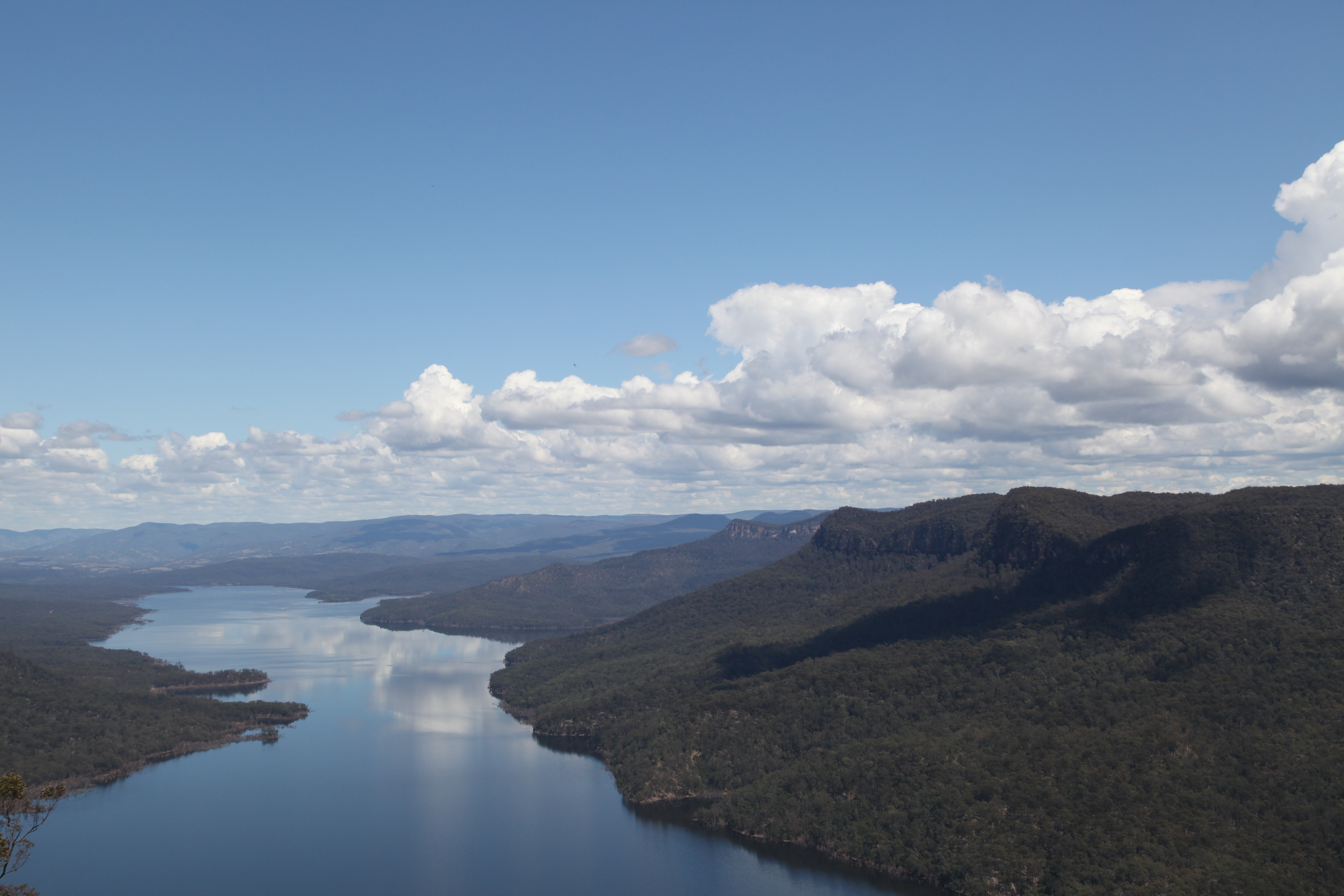
Catchment hydrology is the study of hydrology in drainage basins. Catchments are areas of land where runoff collects to a specific zone. This movement is caused by water moving from areas of high energy to low energy due to the influence of gravity. Catchments often do not last for long periods of time as the water evaporates, drains into the soil, or is consumed by animals. Water Sources Catchment zones collect water from various sources such as surface runoff from snow cover and glaciers, and subsurface flow from groundwater, precipitation, and aquifers. Deposition from fog and clouds is another source of water for catchment zones. These sources of water collect together in a catchment area; which could provide drinking water for a nearby population. Quantification Precipitation in catchment areas is measured through rain gauges. A graduated ruler is used to measure the amount of snowfall. These measurements are taken in a specific location within the catchment and can ... [...More Info...] [...Related Items...] OR: [Wikipedia] [Google] [Baidu] |
Earth
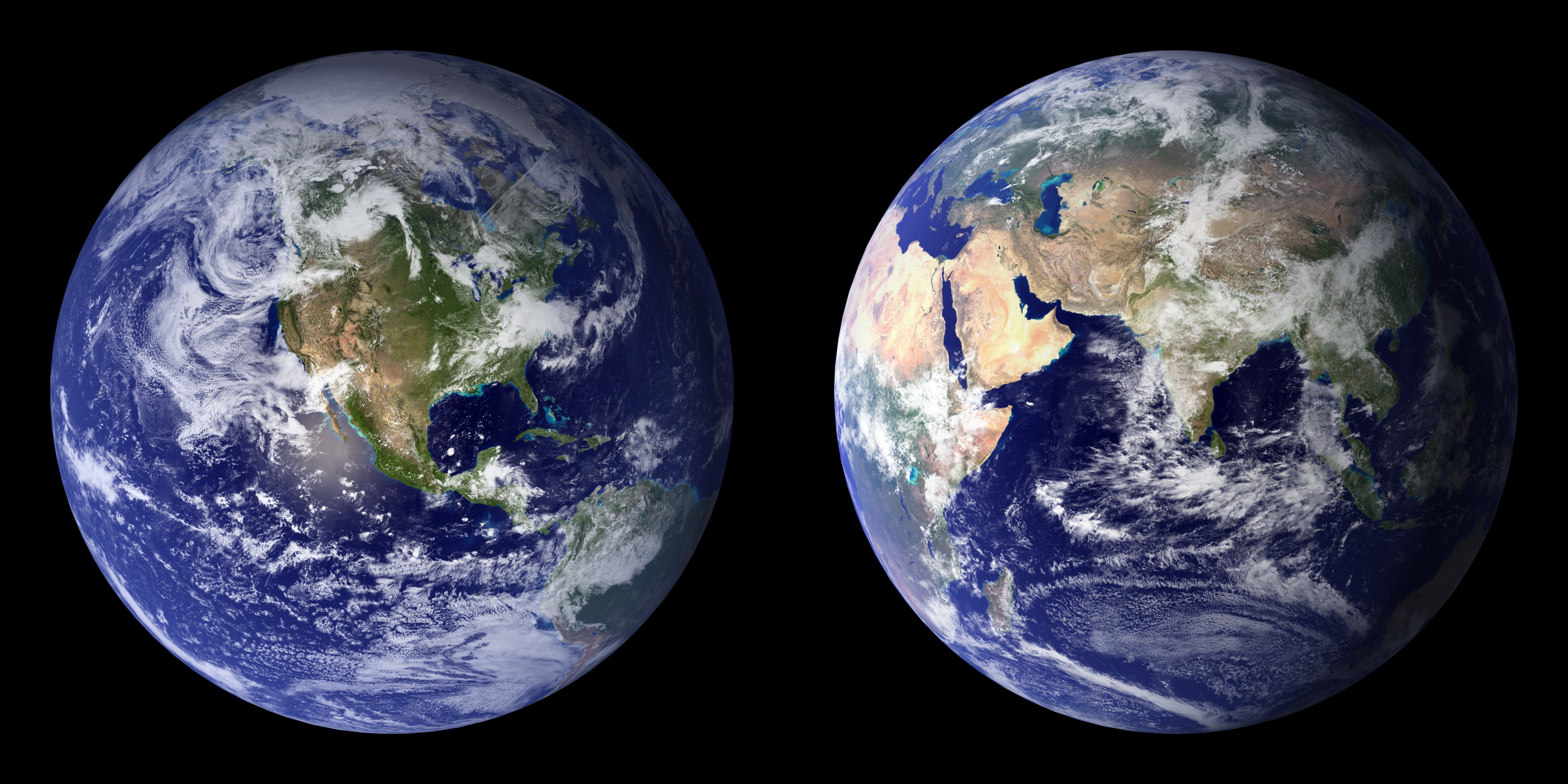
Earth is the third planet from the Sun and the only astronomical object known to Planetary habitability, harbor life. This is enabled by Earth being an ocean world, the only one in the Solar System sustaining liquid surface water. Almost all of Earth's water is contained in its global ocean, covering Water distribution on Earth, 70.8% of Earth's crust. The remaining 29.2% of Earth's crust is land, most of which is located in the form of continental landmasses within Earth's land hemisphere. Most of Earth's land is at least somewhat humid and covered by vegetation, while large Ice sheet, sheets of ice at Polar regions of Earth, Earth's polar polar desert, deserts retain more water than Earth's groundwater, lakes, rivers, and Water vapor#In Earth's atmosphere, atmospheric water combined. Earth's crust consists of slowly moving tectonic plates, which interact to produce mountain ranges, volcanoes, and earthquakes. Earth's outer core, Earth has a liquid outer core that generates a ... [...More Info...] [...Related Items...] OR: [Wikipedia] [Google] [Baidu] |
Surface-water Hydrology
Surface-water hydrology is the sub-field of hydrology concerned with above-earth water (''surface water''), in contrast to groundwater hydrology that deals with water below the surface of the Earth. Its applications include rainfall and runoff, the routes that surface water takes (for example through rivers or reservoirs), and the occurrence of floods and droughts. Surface-water hydrology is used to predict the effects of water constructions such as dams and canals. It considers the layout of the watershed, geology, soils, vegetation, nutrients, energy and wildlife. Modelled aspects include precipitation, the interception of rain water by vegetation or artificial structures, evaporation, the runoff function and the soil-surface system itself. When surface water seeps into the ground above bedrock, it is categorized as groundwater, and the rate at which this occurs determines baseflow needs for instream flow, as well as subsurface water levels in wells. While groundwater is no ... [...More Info...] [...Related Items...] OR: [Wikipedia] [Google] [Baidu] |
Isotope Hydrology
Isotope hydrology is a field of geochemistry and hydrology that uses naturally occurring stable and radioactive isotopic techniques to evaluate the age and origins of surface and groundwater and the processes within the atmospheric hydrologic cycle. Isotope hydrology applications are highly diverse, and used for informing water-use policy, mapping aquifers, conserving water supplies, assessing sources of water pollution, investigating surface-groundwater interaction, refining groundwater flow models, and increasingly are used in eco-hydrology to study human impacts on all dimensions of the hydrological cycle and ecosystem services. Details Water molecules carry unique isotopic "fingerprints", based in part on differing ratios of the oxygen and hydrogen isotopes that constitute the water molecule. Isotopes are atoms of the same element that have a different number of neutrons in their nuclei. Air, freshwater and seawater contain mostly oxygen-16 ( 16O). Oxygen-18 (18O) occur ... [...More Info...] [...Related Items...] OR: [Wikipedia] [Google] [Baidu] |
Hydrometeorology
Hydrometeorology is a branch of meteorology and hydrology that studies the transfer of water and energy between the land surface and the lower atmosphere for academic research, commercial gain or operational forecasting purposes. Whilst traditionally meteorologists and hydrologists sit within separate organisations, hydrometeorlogists may work in joint project teams, virtual teams, deal with specific incidents or be permanently co-located to deliver specific objectives. Hydrometeorlogists typically have a foundation in one or other discipline before undertaking additional training and specialist forecaster training depending on requirements. The cross over skills and knowledge between the two disciplines can bring organisational benefits in terms of efficiencies in terms of using tools and data available, and provide benefits in terms of enhanced lead times ahead of hydrometeological hazards occurring. UNESCO has several programs and activities in place that deal with the study of ... [...More Info...] [...Related Items...] OR: [Wikipedia] [Google] [Baidu] |
Hydroinformatics
Hydroinformatics is a branch of informatics which concentrates on the application of information and communications technologies (ICTs) in addressing the increasingly serious problems of the equitable and efficient use of water for many different purposes. Growing out of the earlier discipline of computational hydraulics, the numerical simulation of water flows and related processes remains a mainstay of hydroinformatics, which encourages a focus not only on the technology but on its application in a social context. On the technical side, in addition to computational hydraulics, hydroinformatics has a strong interest in the use of techniques originating in the so-called artificial intelligence community, such as artificial neural networks or recently support vector machines and genetic programming. These might be used with large collections of observed data for the purpose of data mining for knowledge discovery, or with data generated from an existing, physically based model i ... [...More Info...] [...Related Items...] OR: [Wikipedia] [Google] [Baidu] |
Hydrogeology
Hydrogeology (''hydro-'' meaning water, and ''-geology'' meaning the study of the Earth) is the area of geology that deals with the distribution and movement of groundwater in the soil and rock (geology), rocks of the Earth's crust (geology), crust (commonly in aquifers). The terms groundwater hydrology, geohydrology, and hydrogeology are often used interchangeably, though hydrogeology is the most commonly used. Hydrogeology is the study of the laws governing the movement of subterranean water, the mechanical, chemical, and thermal interaction of this water with the porous solid, and the transport of energy, chemical constituents, and particulate matter by flow (Domenico and Schwartz, 1998). Groundwater engineering, another name for hydrogeology, is a branch of engineering which is concerned with groundwater movement and design of Well, wells, Pump, pumps, and drains. The main concerns in groundwater engineering include groundwater contamination, conservation of suppli ... [...More Info...] [...Related Items...] OR: [Wikipedia] [Google] [Baidu] |
Ecohydrology
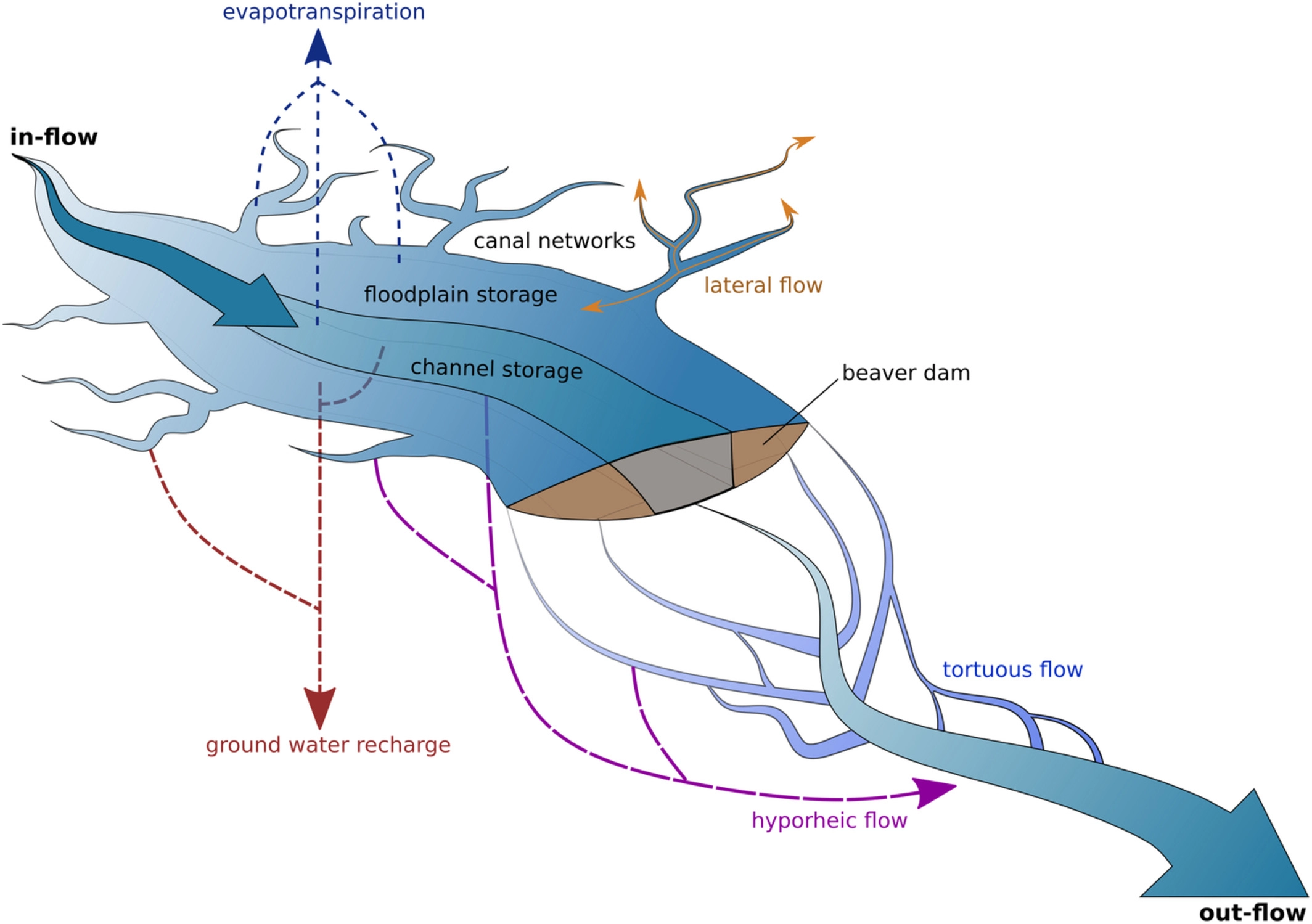
Ecohydrology (from Ancient Greek, Greek , ''oikos'', "house(hold)"; , ''hydōr'', "water"; and , ''-logy, -logia'') is an interdisciplinary scientific field studying the interactions between water and ecological systems. It is considered a sub discipline of hydrology, with an ecological focus. These interactions may take place within water bodies, such as rivers and lakes, or on land, in forests, deserts, and other terrestrial ecosystems. Areas of research in ecohydrology include transpiration and plant water use, adaption of organisms to their water environment, influence of vegetation and benthic plants on stream flow and function, and feedbacks between ecological processes, the soil carbon sponge and the hydrological cycle. Key concepts The hydrologic cycle describes the continuous movement of water on, Moisture recycling, above, and below the surface on the earth. This flow is altered by ecosystems at numerous points. Transpiration from plants provides the majority of flow of ... [...More Info...] [...Related Items...] OR: [Wikipedia] [Google] [Baidu] |


