|
Otorohanga Railway Station
Otorohanga railway station serves the town of Ōtorohanga, on the North Island Main Trunk in New Zealand. The current station dates from 1924. Trains calling at Ōtorohanga included Overlander (train)#Former passenger stops, The Overlander, NZR RM class (88 seater)#The Blue Streak service, Blue Streak, Scenic Daylight, Daylight Limited, Northerner (train), Northerner, Northern Explorer, and Night Limited. By 2012, passenger numbers had dropped to an average of two per train, which brought about a brief closure from 24 June. Initially the reinstatement was for summer only from 10 December. Scheduled services to Otorohanga were suspended from December 2021 to 25 September 2022. Currently passengers need to pre-book services to and from the station History Surveying to extend the railway from Te Awamutu railway station, Te Awamutu to Ōtorohanga was started in 1883 by Charles Wilson Hursthouse. The first sod ceremony was performed at the Puniu River on 15 April 1885. Trains ... [...More Info...] [...Related Items...] OR: [Wikipedia] [Google] [Baidu] [Amazon] |
North Island Main Trunk
The North Island Main Trunk (NIMT) is the main railway line in the North Island of New Zealand, connecting the capital city Wellington with the country's largest city, Auckland. The line is long, built to the New Zealand rail gauge of and serves the large cities of Palmerston North and Hamilton, New Zealand, Hamilton. Most of the NIMT is Single track (rail), single track with frequent passing loops, but sections at each end that also handle suburban commuter traffic are double tracked: * The section known as the North-South Junction between Wellington railway station, Wellington and Waikanae railway station, Waikanae, except for of single-track through tunnels between North Junction ( from Wellington) and South Junction, ( from Wellington), on the Pukerua Bay railway station, Pukerua Bay to Paekakariki railway station, Paekākāriki section, * between Hamilton and Te Kauwhata railway station, Te Kauwhata (except for the single-track Waikato River Bridge at Ngāruawāhia rai ... [...More Info...] [...Related Items...] OR: [Wikipedia] [Google] [Baidu] [Amazon] |
First Sod
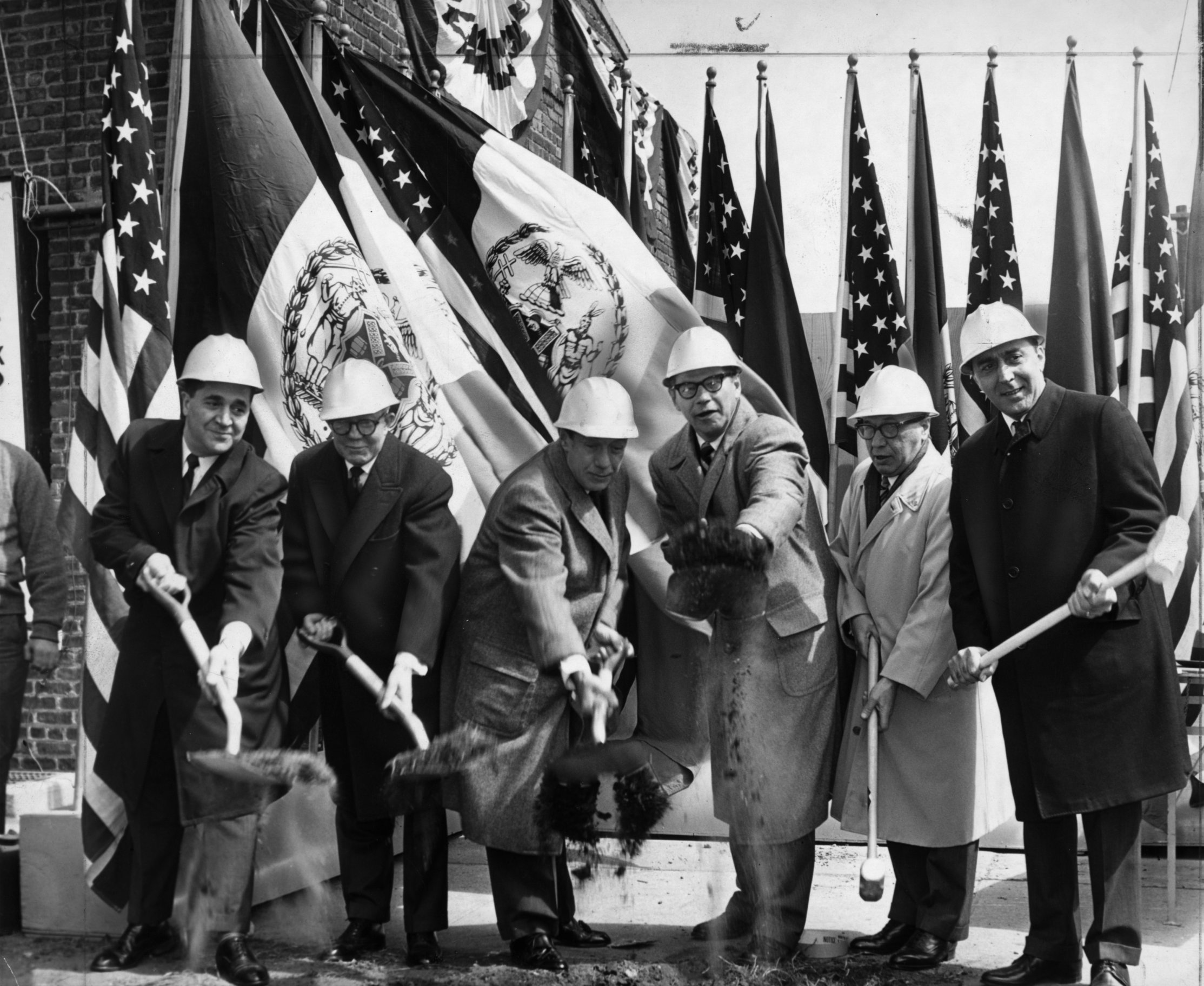
Groundbreaking, also known as cutting, sod-cutting, turning the first sod, turf-cutting, or a sod-turning ceremony, is a traditional ceremony in many cultures that celebrates the first day of construction for a building or other project. Such ceremonies are often attended by dignitaries such as politicians and businesspeople. The shovel used during the groundbreaking is often a special ceremonial shovel, sometimes colored gold, meant to be saved for subsequent display and may be engraved. In other groundbreaking ceremonies, a bulldozer is used instead of a shovel to mark the first day of construction. In some groundbreaking ceremonies, the shovel and the bulldozer mark the first day of construction. In other places, this ceremony can be replaced by a "laying of the Cornerstone, first stone" event. Meaning When used as an adjective, the term ''groundbreaking'' may mean being or making something that has never been done, seen, or made before, "stylistically innovative works". His ... [...More Info...] [...Related Items...] OR: [Wikipedia] [Google] [Baidu] [Amazon] |
Chart Of Otorohanga Railway Station Ticket Sales 1913-1950
A chart (sometimes known as a graph) is a graphical representation for data visualization, in which "the data is represented by symbols, such as bars in a bar chart, lines in a line chart, or slices in a pie chart". A chart can represent tabular numeric data, functions or some kinds of quality structure and provides different info. The term "chart" as a graphical representation of data has multiple meanings: * A data chart is a type of diagram or graph, that organizes and represents a set of numerical or qualitative data. * Maps that are adorned with extra information (map surround) for a specific purpose are often known as charts, such as a nautical chart or aeronautical chart, typically spread over several map sheets. * Other domain-specific constructs are sometimes called charts, such as the chord chart in music notation or a record chart for album popularity. Charts are often used to ease understanding of large quantities of data and the relationships between parts of the ... [...More Info...] [...Related Items...] OR: [Wikipedia] [Google] [Baidu] [Amazon] |


