|
Oddar Meanchey
Oddar Meanchey (, UNGEGN: ''Ŏttâr Méanchoăy'', ALA-LC: ''Uttar Mānjăy'' ; ) is a province of Cambodia in the remote northwest. It borders the provinces of Banteay Meanchey to the west, Siem Reap to the south and Preah Vihear to the east. Its long northern boundary demarcates part of Cambodia's international border with Thailand. The capital is Samraong. The final stronghold of Anlong Veng became the jungle headquarters of Pol Pot (''Saloth Sâr'') and the Khmer Rouge of Democratic Kampuchea once they rebuild their former bases in the jungle on 18 February 1994. The province was created on 27 April 1999, after being carved from the northern half of Siem Reap province and part of Banteay Meanchey. It existed as a province already from 1962 to 1970 under Norodom Sihanouk's Sangkum regime, but later became an administrative no-man's-land, with its status alternating between a province and a district under successive regimes. Etymology ''Oddar Meanchey'' means 'victorious Nor ... [...More Info...] [...Related Items...] OR: [Wikipedia] [Google] [Baidu] |
List Of Communes In Cambodia
The communes of Cambodia ( ''khum''/ '' sangkat'') are the third-level administrative divisions in Cambodia. They are the subdivisions of the districts and municipalities of Cambodia. Communes can consist of as few as 1 or as many as 33 villages (''phum''), depending on the population. There are a total of 1,652 communes and 14,570 villages in Cambodia. Banteay Meanchey Province Banteay Meanchey contains 55 Communes (ឃុំ Khum), 12 Quarters (សង្កាត់ Sangkat) and 658 Villages (ភូមិ Phum). Mongkol Borei District Mongkol Borei contains 13 Communes (ឃុំ Khum) and 159 Villages (ភូមិ Phum). Phnum Srok District Phnum Srok contains 6 Communes (ឃុំ Khum) and 60 Villages (ភូមិ Phum). Preah Netr Preah District Preah Netr Preah contains 9 Communes (ឃុំ Khum) and 118 Villages (ភូមិ Phum). Ou Chrov District Ou Chrov contains 7 Communes (ឃុំ Khum) and 56 Villages (ភូមិ Phum). Se ... [...More Info...] [...Related Items...] OR: [Wikipedia] [Google] [Baidu] |
Provinces Of Cambodia
Cambodia is divided into 25 provinces (, ). The capital Phnom Penh is not a province but an "autonomous municipality" (, ; lit. 'capital'), equivalent to a province governmentally and administered at the same level as the other 24 provinces. Phnom Penh has both the highest population and the highest population density of all provinces, but is the second smallest in land area. The largest province by area is Mondulkiri and the smallest is Kep which is also the least populated province. Mondulkiri has the lowest population density. Each province is administered by a governor, who is nominated by the Ministry of Interior, subject to approval by the Prime Minister. Provinces are divided into districts (, ''srŏk''). The districts in Phnom Penh are called '' khan'' () normally written as for addresses in English followed by the districts' names (Ex: Khan Chamkar Mon; lit. 'Chamkar Mon District'). The number of districts in each province varies, from two in the smallest provin ... [...More Info...] [...Related Items...] OR: [Wikipedia] [Google] [Baidu] |
Democratic Kampuchea
Democratic Kampuchea was the official name of the Cambodian state from 1976 to 1979, under the government of Pol Pot and the Communist Party of Kampuchea (CPK), commonly known as the Khmer Rouge. The Khmer Rouge's capture of the capital Phnom Penh in 1975 effectively ended the United States-backed Khmer Republic of Lon Nol. From 1975 to 1979, the Khmer Rouge's one-party regime killed millions of its own people through mass executions, forced labour, and starvation, in an event which has come to be known as the Cambodian genocide. The killings ended when the Khmer Rouge were ousted from Phnom Penh by the People's Army of Vietnam (PAVN). The Khmer Rouge subsequently established a government-in-exile in neighbouring Thailand and retained Kampuchea's seat at the United Nations (UN). In response, Vietnamese-backed communists created a rival government, the People's Republic of Kampuchea, but failed to gain international recognition. In 1982, the Khmer Rouge established the ... [...More Info...] [...Related Items...] OR: [Wikipedia] [Google] [Baidu] |
Trapeang Prasat District
Trapeang Prasat District is a district in Oddar Meanchey Province in northern Cambodia Cambodia, officially the Kingdom of Cambodia, is a country in Southeast Asia on the Mainland Southeast Asia, Indochinese Peninsula. It is bordered by Thailand to the northwest, Laos to the north, and Vietnam to the east, and has a coastline .... According to the 2008 census of Cambodia, it had a population of 25,533. Administration The following table shows the villages of Trapeang Prasat District by commune. References Districts of Oddar Meanchey province {{Cambodia-geo-stub ... [...More Info...] [...Related Items...] OR: [Wikipedia] [Google] [Baidu] |
Chong Kal District
Chong Kal District is a district in Oddar Meancheay province in northern Cambodia Cambodia, officially the Kingdom of Cambodia, is a country in Southeast Asia on the Mainland Southeast Asia, Indochinese Peninsula. It is bordered by Thailand to the northwest, Laos to the north, and Vietnam to the east, and has a coastline .... According to the 1998 census of Cambodia, it had a population of 18,843. See page 269. Administration The following table shows the villages of Chong Kal district by commune. References Districts of Oddar Meanchey province {{Cambodia-geo-stub ... [...More Info...] [...Related Items...] OR: [Wikipedia] [Google] [Baidu] |
Banteay Ampil District
Banteay Ampil District is a district in Oddar Meanchey province in northern Cambodia. According to the 1998 census of Cambodia, it had a population of 27,075. Administration The following table shows the villages of Banteay Ampil district by commune. Demography The district is subdivided into 4 communes (''khum'') and 86 villages (''phum''). History The district of Banteay Ampil holds the lesser known Chau Srei Vibol Temple. of Siem Reap located along the section of the ancient royal road that lead from Angkor Angkor ( , 'capital city'), also known as Yasodharapura (; ),Headly, Robert K.; Chhor, Kylin; Lim, Lam Kheng; Kheang, Lim Hak; Chun, Chen. 1977. ''Cambodian-English Dictionary''. Bureau of Special Research in Modern Languages. The Catholic Uni ... to Beng Mealea References Districts of Oddar Meanchey province {{Cambodia-geo-stub ... [...More Info...] [...Related Items...] OR: [Wikipedia] [Google] [Baidu] |
Anlong Veng District
Anlong Veng (, ) is a district (''srok'') in Oddar Meanchey province in Cambodia. The main town in the district is also called Anlong Veng. The population of the district could not be counted during the 1998 census of Cambodia due to ongoing conflict during the time of the census. It is estimated that 35% of the population in Anlong Veng were former Khmer Rouge soldiers including the Maoist dictator Pol Pot (''Saloth Sâr''). Geographic data Anlong Veng is in the area of the Dângrêk Mountains, in the far north of Cambodia. It is located 125 km north of Siem Reap and close to the international border crossing with Thailand. There is a dam just north of the town. History Anlong Veng is best known for two historical reasons. It was the last stronghold of the Khmer Rouge to come under government control in 1998 and the final resting place of Pol Pot. The Dângrêk Mountains were used as a base by the Khmer Rouge when they fought against the Khmer Republic led by general ... [...More Info...] [...Related Items...] OR: [Wikipedia] [Google] [Baidu] |
Samraong Municipality
Samraong municipality () is a municipality (previously called 'district') in Oddar Meanchey province in northern Cambodia Cambodia, officially the Kingdom of Cambodia, is a country in Southeast Asia on the Mainland Southeast Asia, Indochinese Peninsula. It is bordered by Thailand to the northwest, Laos to the north, and Vietnam to the east, and has a coastline .... It is the urban part of the province. The provincial capital Samraong lies in the district. According to the 1998 census of Cambodia, it had a population of 22,361. See page 269. Administration The following table shows the villages of Samraong municipality by commune. References Districts of Oddar Meanchey province {{Cambodia-geo-stub ... [...More Info...] [...Related Items...] OR: [Wikipedia] [Google] [Baidu] |
Khmer Script
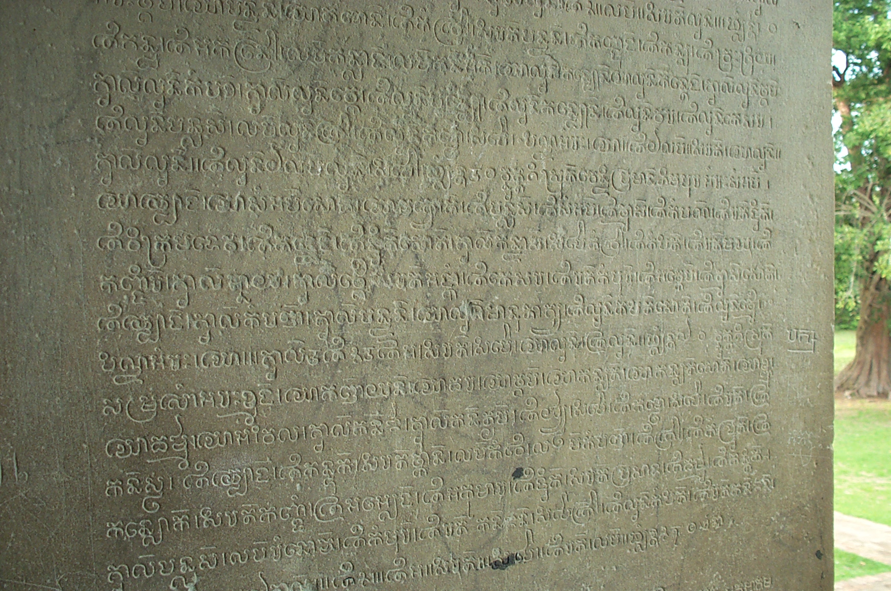
Khmer script (, )Huffman, Franklin. 1970. ''Cambodian System of Writing and Beginning Reader''. Yale University Press. . is an abugida (alphasyllabary) script used to write the Khmer language, the official language of Cambodia. It is also used to write Pali in the Buddhist liturgy of Cambodia and Thailand. Khmer is written from left to right. Words within the same sentence or phrase are generally run together with no spaces between them. Consonant clusters within a word are "stacked", with the second (and occasionally third) consonant being written in reduced form under the main consonant. Originally there were 35 consonant characters, but modern Khmer uses only 33. Each character represents a consonant sound together with an inherent vowel, either ''â'' or ''ô''; in many cases, in the absence of another vowel mark, the inherent vowel is to be pronounced after the consonant. There are some independent vowel characters, but vowel sounds are more commonly represented as depe ... [...More Info...] [...Related Items...] OR: [Wikipedia] [Google] [Baidu] |
List Of Districts, Municipalities And Sections In Cambodia
This is a list of Cambodia's 163 districts ( ''srok''), 33 district-level municipalities ( ''krong'') and 14 sections ( ''khan'') organized by each province and an autonomous municipality (Phnom Penh Phnom Penh is the Capital city, capital and List of cities and towns in Cambodia, most populous city of Cambodia. It has been the national capital since 1865 and has grown to become the nation's primate city and its political, economic, industr ...). Banteay Meanchey Banteay Meanchey contains 7 Districts (ស្រុក Srok), 2 Municipalities (ក្រុង Krong) and 658 Villages (ភូមិ Phum). Battambang Battambang contains 13 Districts (ស្រុក Srok), 1 Municipality (ក្រុង Krong) and 844 Villages (ភូមិ Phum). Kampong Cham Kampong Cham contains 9 Districts (ស្រុក Srok), 1 Municipality (ក្រុង Krong) and 947 Villages (ភូមិ Phum). Kampong Chhnang Kampong Chhnang contains 7 Districts (ស្រ ... [...More Info...] [...Related Items...] OR: [Wikipedia] [Google] [Baidu] |
Pali
Pāli (, IAST: pāl̤i) is a Classical languages of India, classical Middle Indo-Aryan languages, Middle Indo-Aryan language of the Indian subcontinent. It is widely studied because it is the language of the Buddhist ''Pali Canon, Pāli Canon'' or ''Tripiṭaka, Tipiṭaka'' as well as the sacred language of ''Theravada, Theravāda'' Buddhism. Pali was designated as a Classical languages of India, classical language by the Government of India on 3 October 2024. Origin and development Etymology The word 'Pali' is used as a name for the language of the Theravada canon. The word seems to have its origins in commentarial traditions, wherein the (in the sense of the line of original text quoted) was distinguished from the commentary or vernacular translation that followed it in the manuscript. K. R. Norman suggests that its emergence was based on a misunderstanding of the compound , with being interpreted as the name of a particular language. The name Pali does not appear in t ... [...More Info...] [...Related Items...] OR: [Wikipedia] [Google] [Baidu] |
Sanskrit
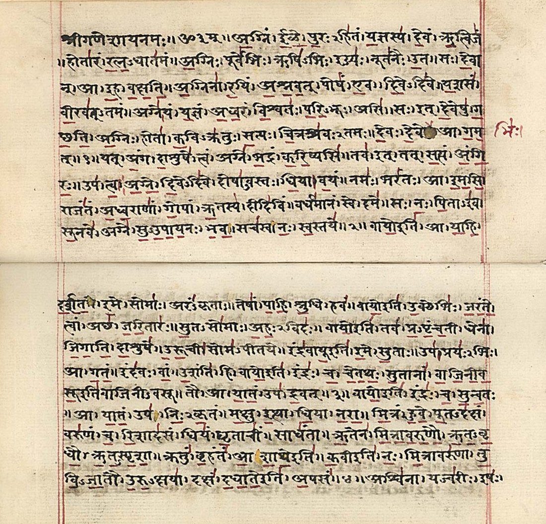
Sanskrit (; stem form ; nominal singular , ,) is a classical language belonging to the Indo-Aryan languages, Indo-Aryan branch of the Indo-European languages. It arose in northwest South Asia after its predecessor languages had Trans-cultural diffusion, diffused there from the northwest in the late Bronze Age#South Asia, Bronze Age. Sanskrit is the sacred language of Hinduism, the language of classical Hindu philosophy, and of historical texts of Buddhism and Jainism. It was a lingua franca, link language in ancient and medieval South Asia, and upon transmission of Hindu and Buddhist culture to Southeast Asia, East Asia and Central Asia in the early medieval era, it became a language of religion and high culture, and of the political elites in some of these regions. As a result, Sanskrit had a lasting effect on the languages of South Asia, Southeast Asia and East Asia, especially in their formal and learned vocabularies. Sanskrit generally connotes several Indo-Aryan languages# ... [...More Info...] [...Related Items...] OR: [Wikipedia] [Google] [Baidu] |


