|
National Character Area
A National Character Area (NCA) is a natural subdivision of England based on a combination of landscape, biodiversity, geodiversity and economic activity. There are 159 National Character Areas and they follow natural, rather than administrative, boundaries. They are defined by Natural England, the UK government's advisors on the natural environment. NCA profiles As part of its responsibilities in delivering the Natural Environment White Paper, Biodiversity 2020 and the European Landscape Convention, Natural England is revising its National Character Area profiles to make environmental evidence and information easily available to a wider audience. Revised profiles for all 159 NCAs were published in September 2014. The new NCAs are being published in a rolling program and can be found on the Natural England website. NCAs are areas that share similar landscape characteristics, and which follow natural lines in the landscape rather than administrative boundaries, making them a good ... [...More Info...] [...Related Items...] OR: [Wikipedia] [Google] [Baidu] |
Natural England
Natural England is a non-departmental public body in the United Kingdom sponsored by the Department for Environment, Food and Rural Affairs. It is responsible for ensuring that England's natural environment, including its land, flora and fauna, freshwater and marine environments, geology and soils, are protected and enhanced. It also has a responsibility to help people enjoy, understand and access the natural environment. Natural England focuses its activities and resources on four strategic outcomes: * a healthy natural environment * enjoyment of the natural environment * sustainable use of the natural environment * a secure environmental future Roles and responsibilities As a non-departmental public body (NDPB), Natural England is independent of government. However, the Secretary of State for Environment, Food & Rural Affairs has the legal power to issue guidance to Natural England on various matters. Its powers include defining ancient woodlands, awarding grants, designatin ... [...More Info...] [...Related Items...] OR: [Wikipedia] [Google] [Baidu] |
Durham Magnesian Limestone Plateau
Durham most commonly refers to: *Durham, England, a cathedral city in north east England **County Durham, a ceremonial county which includes Durham *Durham, North Carolina, a city in North Carolina, United States Durham may also refer to: Places Australia * Durham, Queensland, an outback locality in the Bulloo Shire, Queensland ** Durham Downs Station, a pastoral station in Durham, Queensland * Durham Downs, Queensland, a rural locality in the Maranoa Region * Durham Lead, Victoria, a locality in the City of Ballarat * Durham Ox, Victoria, a locality in the Shire of Loddin Canada * Durham, Nova Scotia * Durham, Ontario, a small town in Grey County, Ontario * Durham County, Ontario, a historic county * Regional Municipality of Durham, a regional government in the Greater Toronto Area of Ontario ** Durham (electoral district), a federal electoral district in Durham Region ** Durham (provincial electoral district), a provincial electoral district in Durham Region * Durham Bridge, New ... [...More Info...] [...Related Items...] OR: [Wikipedia] [Google] [Baidu] |
Morecambe Bay Pavements
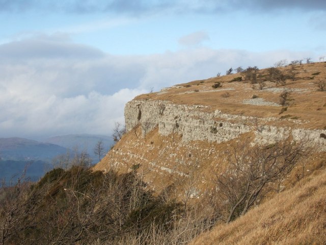
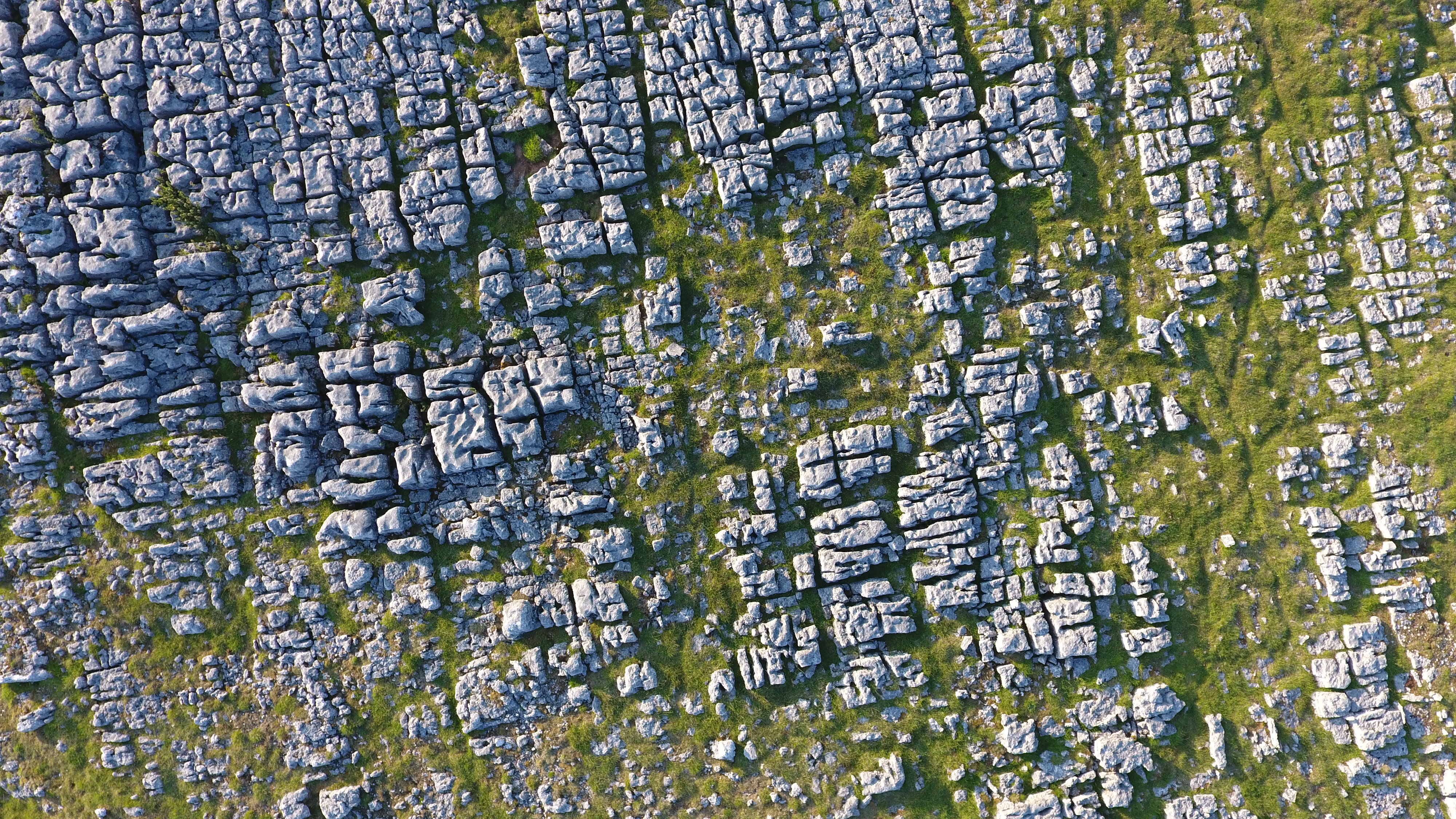
Morecambe Bay Pavements is a multi-site Special Area of Conservation comprising limestone pavements around Morecambe Bay in North-West England. It was designated in 2005 under the Habitats Directive. The SAC does not include any marine areas; Morecambe Bay itself is a separate SAC, which was designated the same year. The SAC is designated for its biological rather geological interest, but the areas protected, on the margins of Morecambe Bay, have in common that they feature faulted outcrops of Carboniferous Limestone, Lower Carboniferous Limestone. The limestone tends to form hills as it is more resistant to erosion than other rocks in the area. There are separate WP articles describing the sites (which are in the counties of Cumbria and Lancashire): * Cunswick Scar * Hutton Roof Crags * Scout Scar * Whitbarrow Other levels of protection Parts of the SAC lies within the Arnside and Silverdale Area of Outstanding Natural Beauty (designated in 1972), and the Lake District Nationa ... [...More Info...] [...Related Items...] OR: [Wikipedia] [Google] [Baidu] |
South Cumbria Low Fells
South is one of the cardinal directions or compass points. The direction is the opposite of north and is perpendicular to both west and east. Etymology The word ''south'' comes from Old English ''sūþ'', from earlier Proto-Germanic ''*sunþaz'' ("south"), possibly related to the same Proto-Indo-European root that the word ''sun'' derived from. Some languages describe south in the same way, from the fact that it is the direction of the sun at noon (in the Northern Hemisphere), like Latin meridies 'noon, south' (from medius 'middle' + dies 'day', ), while others describe south as the right-hand side of the rising sun, like Biblical Hebrew תֵּימָן teiman 'south' from יָמִין yamin 'right', Aramaic תַּימנַא taymna from יָמִין yamin 'right' and Syriac ܬܰܝܡܢܳܐ taymna from ܝܰܡܝܺܢܳܐ yamina (hence the name of Yemen, the land to the south/right of the Levant). South is sometimes abbreviated as S. Navigation By convention, the ''bottom or down- ... [...More Info...] [...Related Items...] OR: [Wikipedia] [Google] [Baidu] |
Howgill Fells
The Howgill Fells are uplands in Northern England between the Lake District and the Yorkshire Dales, lying roughly within a triangle formed by the town of Sedbergh and the villages of Ravenstonedale and Tebay.The Howgill Fells in Cumbria ''www.visitcumbria.com'' The name Howgill derives from the word ''haugr'' meaning a hill or barrow, plus ''gil'' meaning a narrow valley. Geography The Howgill Fells are bounded by the (and the |
Orton Fells
The Orton Fells is an upland area in Northern England, mostly consisting of limestone hills, plateaus and moorlands. Historically in Westmorland, the area lies within the modern county of Cumbria and is bounded by the Lake District to the west, the Eden Valley to the north and east, and the Yorkshire Dales and Howgill Fells to the south. The area mostly falls within the boundaries of the Yorkshire Dales National Park while a small part of the western fells is in the Lake District National Park. The fells are one of 159 National Character Areas defined by Natural England. Most settlements are in the lower land of the central upland region and the area is bounded by the villages of Orton, Great Asby, Little Asby, Crosby Ravensworth and Crosby Garret. Other settlements in the area include Ravenstonedale, Soulby, Maulds Meaburn, King's Meaburn, Morland, and Cliburn, and many of the settlements have conservation area status. Abrasion by glaciers and natural weathering of ... [...More Info...] [...Related Items...] OR: [Wikipedia] [Google] [Baidu] |
River Eden, Cumbria
The River Eden is a river that flows through Cumbria, England. It rises on Black Fell Moss, near the village of Outhgill, and runs in a generally north-westerly direction through the Vale of Eden and Solway Plain before reaching the sea at the Solway Firth. Etymology The river was known to the Romans as the ''Itouna'', as recorded by the Greek geographer Claudius Ptolemaeus (Ptolemy) in the 2nd century AD. This name derives from the Celtic word ''ituna'', meaning ''water'', or ''rushing''. Thus, there is no relation to the biblical Garden of Eden. Course of river The Eden rises in Black Fell Moss, Mallerstang, on the high ground between High Seat, Yorkshire Dales and Hugh Seat. Here it forms the boundary between the counties of Cumbria and North Yorkshire; the river gave its name to the former Eden district of Cumbria. Two other rivers arise in the same peat bogs here, within a kilometre of each other: the River Swale and River Ure. It starts life as Red Gill Beck, ... [...More Info...] [...Related Items...] OR: [Wikipedia] [Google] [Baidu] |
Cumbria High Fells
Cumbria ( ) is a ceremonial county in North West England. It borders the Scottish council areas of Dumfries and Galloway and Scottish Borders to the north, Northumberland and County Durham to the east, North Yorkshire to the south-east, Lancashire to the south, and the Irish Sea to the west. Its largest settlement is the city of Carlisle. Cumbria is predominantly rural, with an area of and a population of 500,012; this makes it the third-largest ceremonial county in England by area but the eighth-smallest by population. Carlisle is located in the north; the towns of Workington and Whitehaven lie on the west coast, Barrow-in-Furness on the south coast, and Penrith and Kendal in the east of the county. For local government purposes the county comprises two unitary authority areas, Westmorland and Furness and Cumberland. Cumbria was created in 1974 from the historic counties of Cumberland and Westmorland, the Furness area of Lancashire, and a small part of Yorkshire. The interio ... [...More Info...] [...Related Items...] OR: [Wikipedia] [Google] [Baidu] |
Solway Basin
Solway may refer to: Places Australia *Solway, a neighbourhood of Ashburton, Victoria. a suburb of Melbourne New Zealand * Solway, New Zealand, a suburb of Masterton United Kingdom *Solway Firth, the inlet between the north west of England and southern Scotland * Solway Coast, designated Area of Outstanding Natural Beauty in northern Cumbria * Solway Moss, lowland peat bog in Cumbria, England, near the Scottish border **Battle of Solway Moss The Battle of Solway Moss took place on Solway Moss near the River Esk on the English side of the Anglo-Scottish border in November 1542 between English and Scottish forces. The Scottish King James V had refused to break from the Catholic Chu ..., 1542 battle between England and Scotland * Solway Plain, stretching from the edge of the northern fells of Cumbria (England) to the Solway Firth and for some miles around Carlisle, and also along the Scottish border of the Firth United States * Solway, Minnesota * Solway Township, St. Louis C ... [...More Info...] [...Related Items...] OR: [Wikipedia] [Google] [Baidu] |
Cleveland Hills
The Cleveland Hills are a range of hills on the north-west edge of the North York Moors in North Yorkshire, England, overlooking Cleveland and Teesside. They lie entirely within the boundaries of the North York Moors National Park. Part of the long Cleveland Way National Trail runs along the hills, and they are also crossed by a section of Wainwright's Coast to Coast Walk. The hills, which rise abruptly from the flat Tees Valley to the north, include distinctive landmarks such as the cone-shaped peak of Roseberry Topping, near the village of Great Ayton – childhood home of Captain James Cook. Geology The hills are formed by multiple stacked layers of Jurassic age sedimentary rocks. The scarp rises above the low ground to the north and west formed by the mudstones of the Redcar Mudstone Formation, though largely buried beneath glacial till from the last ice age. The same formation also provides the lowermost slopes of the scarp. The full sequence, presented in strati ... [...More Info...] [...Related Items...] OR: [Wikipedia] [Google] [Baidu] |
North York Moors
The North York Moors is an upland area in north-eastern Yorkshire, England. It contains one of the largest expanses of Calluna, heather moorland in the United Kingdom. The area was designated as a national parks of England and Wales, National Park in 1952, through the National Parks and Access to the Countryside Act 1949. Covering an area of , the National Park has a population of 23,380. It is administered by the North York Moors National Park Authority, which is based in Helmsley. Location and transport To the east, the area is clearly defined by the impressive cliffs of the North Sea coast. The northern and western boundaries are defined by the steep scarp slopes of the Cleveland Hills edging the Tees lowlands and the Hambleton Hills above the Vale of Mowbray. To the south lies the broken line of the Tabular Hills and the Vale of Pickering. Four roads cross the North York Moors from north to south. In the east, the A171 road, A171 joins Whitby and Scarborough, North Yorkshi ... [...More Info...] [...Related Items...] OR: [Wikipedia] [Google] [Baidu] |


