|
Mongols In China
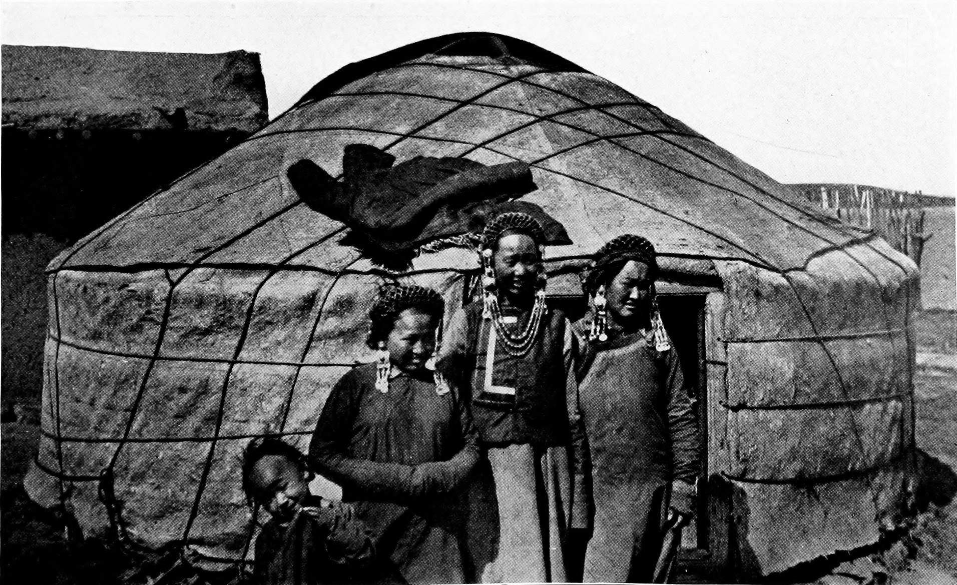
Mongols in China, also known as Mongolian Chinese or Chinese Mongols, are ethnic Mongols who live in China. They are one of the List of ethnic groups in China#Ethnic groups recognized by the People's Republic of China, 56 ethnic groups recognized by the Chinese government. As of 2020, there are 6,290,204 Mongols in China, a 0.45% increase from the 2010 national census. Most of them live in Inner Mongolia, Northeast China, Xinjiang and Qinghai. The Mongol population in China is nearly twice as much as that of the sovereign state of Mongolia. Distribution The Mongols in China are divided between autonomous regions and provinces as follows: * 68.72%: Inner Mongolia Autonomous Region * 11.52%: Liaoning Province * 2.96%: Jilin Province * 2.92%: Hebei Province * 2.58%: Xinjiang Uyghur Autonomous Region * 2.43%: Heilongjiang Province * 1.48%: Qinghai Province * 1.41%: Henan Province * 5.98%: Rest of PRC Besides the Inner Mongolia autonomous region, there are other Mongol autonomo ... [...More Info...] [...Related Items...] OR: [Wikipedia] [Google] [Baidu] |
Morin Khuur
The ''morin khuur'' (), also known as the horsehead fiddle, is a traditional Mongolian bowed stringed instrument. It is one of the most important musical instruments of the Mongol people, and is considered a symbol of the nation of Mongolia. The morin khuur is one of the Masterpieces of the Oral and Intangible Heritage of Humanity identified by UNESCO. Name In Mongolian, the instrument is usually called ''morin khuur'' or "horse fiddle". The full Classical Mongolian name for the morin khuur is ''morin toloğay’ta quğur'', (which in modern Khalkh cyrillic is Морин толгойтой хуур) meaning ''fiddle with a horse's head''. Usually it is abbreviated as "Морин хуур", Latin transcription "Morin huur". In western Mongolia it is known as ikil (—not to be confused with the similar Tuvan igil)—while in eastern Mongolia it is known as shoor (). Construction The instrument consists of a trapeziform wooden-framed sound box to which two strings a ... [...More Info...] [...Related Items...] OR: [Wikipedia] [Google] [Baidu] |
Mongols
Mongols are an East Asian ethnic group native to Mongolia, China ( Inner Mongolia and other 11 autonomous territories), as well as the republics of Buryatia and Kalmykia in Russia. The Mongols are the principal member of the large family of Mongolic peoples. The Oirats and the Buryats are classified either as distinct ethno-linguistic groups or as subgroups of Mongols. The Mongols are bound together by a common heritage and ethnic identity, descending from the Proto-Mongols. Their indigenous dialects are collectively known as the Mongolian language. The contiguous geographical area in which the Mongols primarily live is referred to as the Mongol heartland, especially in discussions of the Mongols' history under the Mongol Empire. Definition Broadly defined, the term includes the Mongols proper (also known as the Khalkha Mongols), Buryats, Oirats, the Kalmyks and the Southern Mongols. The latter comprises the Abaga Mongols, Abaganar, Aohans, Arkhorchin, Asud, ... [...More Info...] [...Related Items...] OR: [Wikipedia] [Google] [Baidu] |
Harqin Left Mongol Autonomous County
Harqin Left Wing Mongolian Autonomous County ( zh, s=喀喇沁左翼蒙古族自治县), also abbreviated as Harqin County or Kazuo County, is a Mongolian autonomous county in the west of Liaoning province, China. It is under the administration of Chaoyang City, to the northeast, and has a population of 346,133 (2020) residing in an area of . Formerly known as Harqin Left Wing Banner ( zh, s=喀喇沁左翼旗, label=no). Administrative divisions Harqin Lef Wing is divided into 2 subdistricts, 14 towns and 5 townships. Climate See also *Kharchin Mongols The Kharchin (Mongolian language, Mongolian: , , ; zh, c=喀喇沁部), or Kharachin, is a subgroup of the Mongols residing mainly (and originally) in North-western Liaoning and Chifeng, Inner Mongolia. There are Khalkha-Kharchin Mongols in Dor ... References External links Government website County-level divisions of Liaoning Chaoyang, Liaoning Mongol autonomous counties Long stubs with short prose ... [...More Info...] [...Related Items...] OR: [Wikipedia] [Google] [Baidu] |
Weichang Manchu And Mongol Autonomous County
Weichang Manchu and Mongol Autonomous County ( zh, s=围场满族蒙古族自治县) is a Manchu and Mongol autonomous county located in far northeastern Hebei province, China. It lies under the administration of Chengde City, and is the northernmost county of the province, bordering Inner Mongolia to the north. In terms of area, it is the largest county of Hebei, occupying an area of , though, as it is located in mountainous terrain, it is rather sparsely populated, , housing 423,676 people. The area has been historically home to Manchu soldiers, and the local dialect of Mandarin is similar to that of Beijing, though there is some Northeastern influence. History The area of the county was originally grazing grounds for Mongol tribes. In the early Qing Dynasty, the Auqan, Kharchin and Onnigud Mongols gave these lands as a gift to the Kangxi Emperor, who then created the Mulan Hunting Grounds in Weichang. Thereafter, it became hunting ground for the Qing royal family, Eig ... [...More Info...] [...Related Items...] OR: [Wikipedia] [Google] [Baidu] |
Bortala Mongol Autonomous Prefecture
Bortala Mongol Autonomous Prefecture is an autonomous prefecture in the northern Xinjiang, China. Its capital is Bole, also known as Bortala. It has a population of 475,483 inhabiting an area of . Despite being designated an autonomous area for Mongols in China, only a little over five and a half per cent of Bortala's population is Mongol. Etymology "Bortala" comes from the Mongolian words ''boro tala'', which mean "brown steppe". Geography Bortala is located in the southwestern part of the Dzungarian Basin. It occupies a V-shaped basin between the Dzungarian Alatau in the northwest and the Borohoro Mountains in the southwest. The prefecture borders Kazakhstan to the north and west, and has an international border of . To the east it borders Wusu City and Toli County of Tacheng Prefecture; to the south it borders Nilka County, Yining County, and Huocheng County of Ili Kazakh Autonomous Prefecture. The prefecture has two large lakes, Ebi-Nur and Sayram Lake. Admin ... [...More Info...] [...Related Items...] OR: [Wikipedia] [Google] [Baidu] |
Bayingolin Mongol Autonomous Prefecture
Bayingolin Mongol Autonomous Prefecture is an autonomous prefecture in the southeastern Xinjiang, China. It borders Gansu to the east, Qinghai to the southeast and the Tibet Autonomous Region to the south. It is the largest prefecture-level division nationally, with an area of , which is even larger than its neighboring province of Gansu. The prefectural capital is Korla. Despite being designated an autonomous area for Mongols in China, only about four percent of Bayingolin's population is Mongol. History In a 2017 announcement from officials in Bayingolin Mongol Autonomous Prefecture, it was proclaimed that "there is a severe threat from international terrorism, and cars have been used as a key means of transport for terrorists as well as constantly serving as weapons. It is therefore necessary to monitor and track all vehicles in the prefecture." Demographics According to the 2020 census, Bayingolin has 1,056,970 inhabitants (population density: 2.28 per km2). As of 20 ... [...More Info...] [...Related Items...] OR: [Wikipedia] [Google] [Baidu] |
Haixi Mongol And Tibetan Autonomous Prefecture
Haixi Mongolian and Tibetan Autonomous Prefecture ( zh, c=海西蒙古族藏族自治州; ; ), locally also known as Qaidam Prefecture (; ; zh, s=柴达木), is an autonomous prefecture occupying much of the northern half of (as well as part of the southwest of) Qinghai, Qinghai Province, China. It has an area of and its Capital (political), seat is Delingha. The name of the prefecture literally means "west of Qinghai Lake, (Qinghai) Lake." Geladaindong Peak, Geladandong Mountain, the source of the Yangtze River, is located here. History After 1949, the People's Government of Dulan County was founded and the area was renamed Dulan Autonomous District ( zh, labels=no, s=都兰自治区); in 1954, Dulan was renamed Haixi Mongol, Tibetan and Kazakh Autonomous District ( zh, labels=no, s=海西蒙藏哈萨克族自治区) and in 1955, Haixi Mongol, Tibetan and Kazakh Autonomous Prefecture ( zh, labels=no, c=海西蒙藏哈萨克族自治州). In 1963, it was renamed " zh, labels= ... [...More Info...] [...Related Items...] OR: [Wikipedia] [Google] [Baidu] |
Henan
Henan; alternatively Honan is a province in Central China. Henan is home to many heritage sites, including Yinxu, the ruins of the final capital of the Shang dynasty () and the Shaolin Temple. Four of the historical capitals of China, Luoyang, Anyang, Kaifeng and Zhengzhou, are in Henan. While the province's name means 'south of the river', approximately a quarter of the province lies north of the Yellow River. With an area of , Henan covers a large part of the fertile and densely populated North China Plain. Its neighboring provinces are Shaanxi, Shanxi, Hebei, Shandong, Anhui, and Hubei. Henan is China's third-most populous province and the most populous among inland provinces, with a population of over 99 million as of 2020. It is also the world's seventh-most populous administrative division; if it were a country by itself, Henan would be the 17th-most populous in the world, behind Egypt and Vietnam. People from Henan often suffer from regional discrimination ... [...More Info...] [...Related Items...] OR: [Wikipedia] [Google] [Baidu] |
Heilongjiang
Heilongjiang is a province in northeast China. It is the northernmost and easternmost province of the country and contains China's northernmost point (in Mohe City along the Amur) and easternmost point (at the confluence of the Amur and Ussuri rivers). The province is bordered by Jilin to the south and Inner Mongolia to the west. It also shares a border with Russia ( Amur Oblast, Jewish Autonomous Oblast, Khabarovsk Krai, Primorsky Krai and Zabaykalsky Krai) to the north and east. The capital and the largest city of the province is Harbin. Among Chinese provincial-level administrative divisions, Heilongjiang is the sixth-largest by total area, the 20th-most populous, and the second-poorest by GDP per capita after only Gansu province. The province takes its name from the Amur river which marks the border between the People's Republic of China and Russia. Heilongjiang has significant agricultural production, and raw materials, such as timber, oil, and coal. Etymology ... [...More Info...] [...Related Items...] OR: [Wikipedia] [Google] [Baidu] |
Hebei
Hebei is a Provinces of China, province in North China. It is China's List of Chinese administrative divisions by population, sixth-most populous province, with a population of over 75 million people. Shijiazhuang is the capital city. It borders Shanxi to the west, Henan to the south, Shandong and Liaoning to the east, and Inner Mongolia to the north; in addition, Hebei entirely surrounds the direct-administered municipalities of Beijing and Tianjin on land. Its population is 96% Han Chinese, 3% Manchu people, Manchu, 0.8% Hui people, Hui, and 0.3% Mongols in China, Mongol. Varieties of Chinese spoken include Jilu Mandarin, the Beijing dialect of Mandarin, and Jin Chinese. During the Spring and Autumn period, Spring and Autumn and Warring States periods (771–226 BC), the region was ruled by the states of Yan (state), Yan and Zhao (state), Zhao. During the Yuan dynasty (1271–1368), the region was called Zhongshu Sheng, Zhongshu. It was called North Zhili during the ... [...More Info...] [...Related Items...] OR: [Wikipedia] [Google] [Baidu] |
Jilin
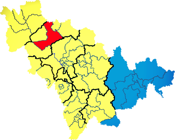
) , image_skyline = Changbaishan Tianchi from western rim.jpg , image_alt = , image_caption = View of Heaven Lake , image_map = Jilin in China (+all claims hatched).svg , mapsize = 275px , map_alt = Map showing the location of Jilin Province , map_caption = Map showing the location of Jilin Province , coordinates = , subdivision_type = Country , subdivision_name = China , named_for = from ''girin ula'', a Manchu language, Manchu phrase meaning "along the river" , seat_type = Capital , seat = , seat1_type = , seat1 = , parts_type = Divisions , parts_style = para , p1 = 9 Prefectures of China, prefectures , p2 = 60 Counties of China, counties , p3 = 1006 Townships of China, townships , government_type = Provinces of China, Province , governing_body = Jilin Provinci ... [...More Info...] [...Related Items...] OR: [Wikipedia] [Google] [Baidu] |
Liaoning
) , image_skyline = , image_alt = , image_caption = Clockwise: Mukden Palace in Shenyang, Xinghai Square in Dalian, Dalian coast, Yalu River at Dandong , image_map = Liaoning in China (+all claims hatched).svg , mapsize = 275px , map_alt = Map showing the location of Liaoning Province , map_caption = Map showing the location of Liaoning Province , coordinates = , subdivision_type = Country , subdivision_name = China , named_for = —"Liao River, Liao (River)" —"pacification" "Pacified of the Liao (River)" , seat_type = Capital , seat = Shenyang , seat1_type = , seat1 = , parts_type = Divisions , parts_style = para , p1 = 14 Prefectures of China, prefectures , p2 = 100 Counties of China, counties , p3 = 1511 Townships of China, townships , government_type = Provinces of ... [...More Info...] [...Related Items...] OR: [Wikipedia] [Google] [Baidu] |


