|
Markham By-Pass (other)
Markham By-Pass refers to roadways in Cornell, Ontario that were built to bypass Ontario Highway 48 or Markham Road: * York Regional Road 48, known as Markham By-Pass from 2004 to 2006 and now referred to as Donald Cousens Parkway since 2007 *Old Markham By-Pass, renamed as Cornell Centre Boulevard in 2004 {{dab ... [...More Info...] [...Related Items...] OR: [Wikipedia] [Google] [Baidu] |
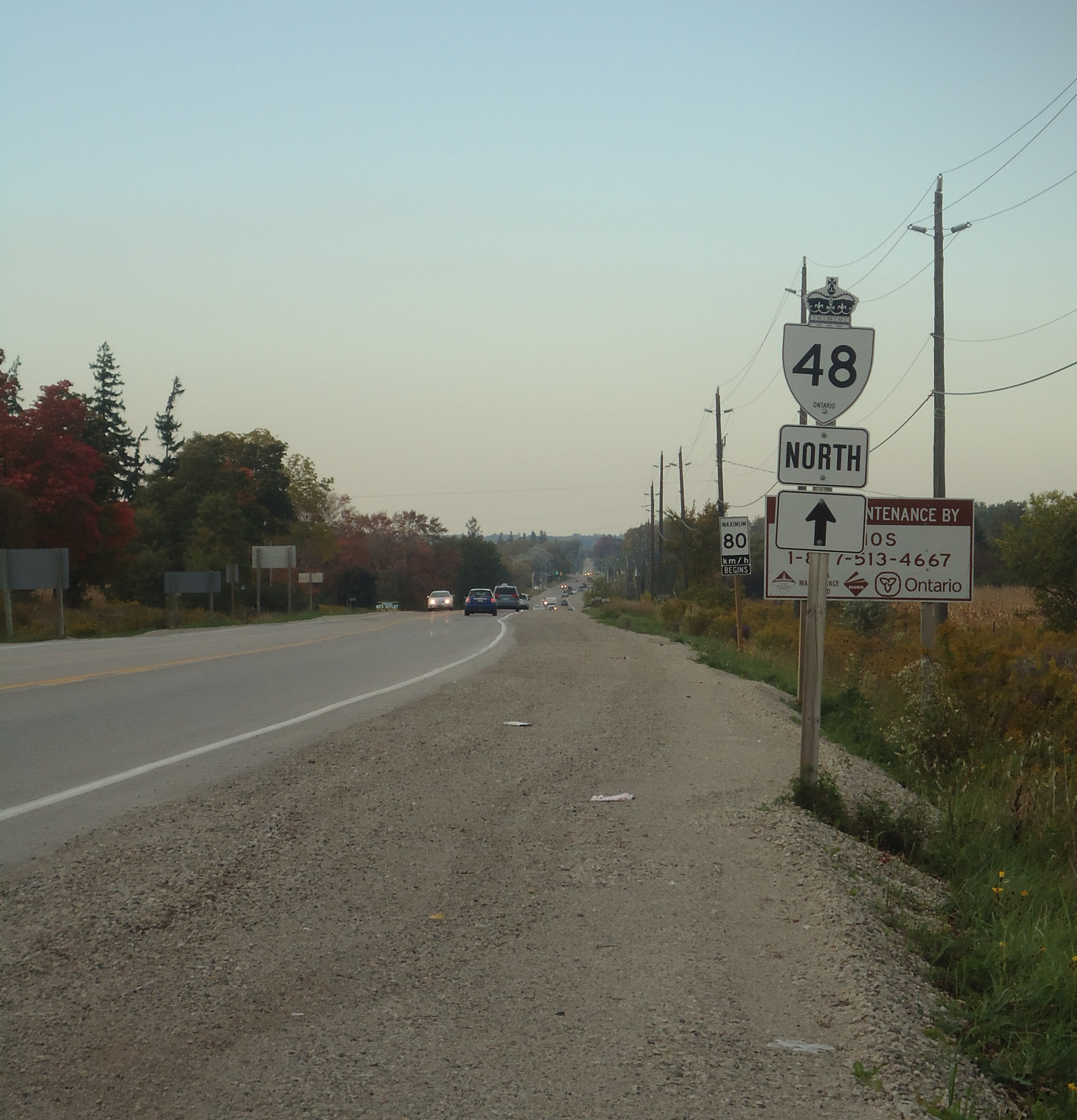
Ontario Highway 48
King's Highway 48, also known as Highway 48, is a provincially maintained highway in southern Ontario that extends from Major Mackenzie Drive in Markham, through Whitchurch-Stouffville and East Gwillimbury, to Highway 12 south-east of Beaverton. The route is generally rural and straight, passing near several communities within the Regional Municipality of York. The route is long. Most part of the road has a speed limit of , except within town limits, where the speed limit is reduced to or . Highway 48 was first designated in 1937 to connect Port Bolster with Highway 12 in Beaverton. It was extended south to meet with Highway 401 in the 1950s in anticipation of a planned freeway connection around the eastern shore of Lake Simcoe that ultimately became Highway 404. In the mid-1970s, Highway 48 assumed a portion of the route of Highway 46 in Victoria Country, now the city of Kawartha Lakes, extending the route to Highway 35 in Cobo ... [...More Info...] [...Related Items...] OR: [Wikipedia] [Google] [Baidu] |
York Regional Road 48
Donald Cousens Parkway or York Regional Road 48, also referred to historically as the Markham Bypass or Markham Bypass Extension, is a regionally-maintained arterial bypass of Markham in the Canadian province of Ontario. Named for former Markham mayor Don Cousens in April 2007, the route initially travelled northward from Copper Creek Drive in Box Grove, south of Highway 407, to Major Mackenzie Drive ( York Regional Road 25). A southern extension to Steeles Avenue was later completed and the name Donald Cousens Parkway applied along the extension to Ninth Line. In addition to its role of funneling through-traffic around downtown Markham, the route serves as a boundary to residential development as land to the north and east are part of the protected Rouge National Urban Park and southwest limits of the planned Pickering Airport. Construction of the route began in 2002 north of 16th Avenue. In 2004, an interchange with Highway 407 was constructed along ... [...More Info...] [...Related Items...] OR: [Wikipedia] [Google] [Baidu] |
