|
List Of Telephone Exchanges In London
This is a list of telephone exchanges located within Greater London. Occasionally, in areas of high demand, two exchanges are located at the same premises; for example Canary Wharf and Poplar. History London had a large network of manual exchanges (80 in 1927) and individual telephone exchanges were given names, e.g. Ebbsfleet; a caller asked the operator for Ebbsfleet 1234. However, although the General Post Office (GPO) had commenced installation of automatic exchanges from 1912, the basic Strowger or SXS switch adopted as standard by the GPO was not suitable for large cities like London. So from 1927 a development of the SXS switch was installed in London, the Director system; first at HOLborn followed by BIShopgate and SLOane exchanges and then WEStern and MONument. Telephones on automatic exchanges had letters as well as numbers marked on the telephone dial, and calls to London numbers used the first three letters of the exchange name followed by four digits, e.g. EUS 123 ... [...More Info...] [...Related Items...] OR: [Wikipedia] [Google] [Baidu] |
Greater London
Greater London is an administrative area in England, coterminous with the London region, containing most of the continuous urban area of London. It contains 33 local government districts: the 32 London boroughs, which form a Ceremonial counties of England, ceremonial county also called Greater London, and the City of London. The Greater London Authority is responsible for strategic local government across the region, and regular local government is the responsibility of the borough councils and the City of London Corporation. Greater London is bordered by the ceremonial counties of Hertfordshire to the north, Essex to the north-east, Kent to the south-east, Surrey to the south, and Berkshire and Buckinghamshire to the west. Greater London has a land area of and had an estimated population of in . The ceremonial county of Greater London is only slightly smaller, with an area of and a population of in . The area is almost entirely urbanised and contains the majority of the ... [...More Info...] [...Related Items...] OR: [Wikipedia] [Google] [Baidu] |
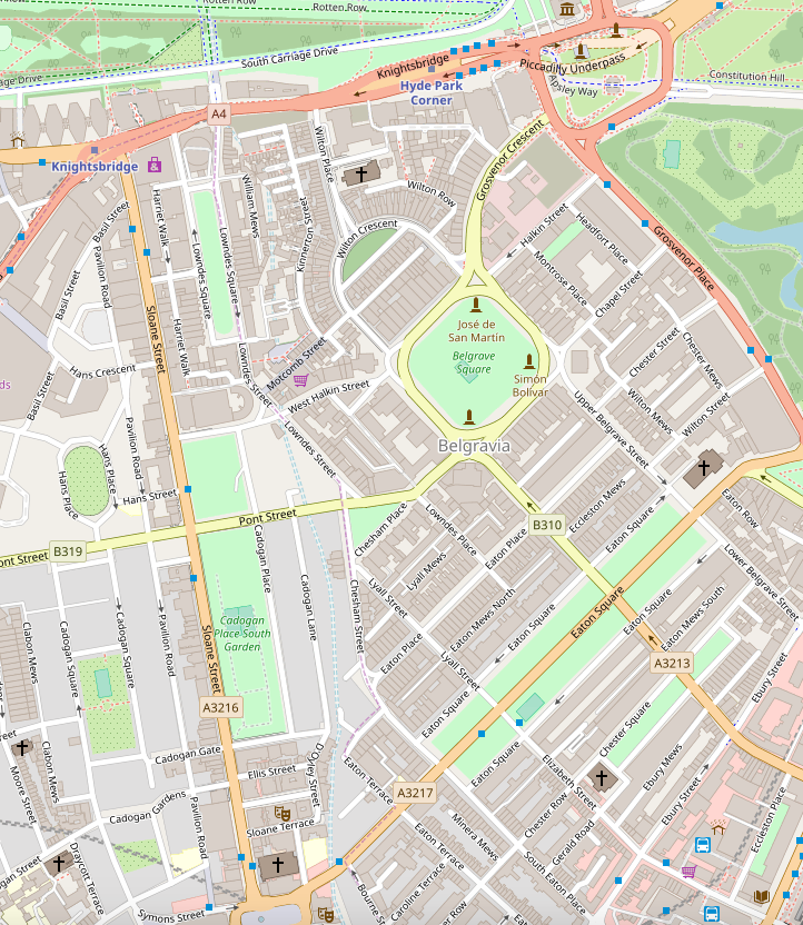
Belgravia
Belgravia () is a district in Central London, covering parts of the areas of the City of Westminster and the Royal Borough of Kensington and Chelsea. Belgravia was known as the 'Five Fields' during the Tudor Period, and became a dangerous place due to highwaymen and robberies. It was developed in the early 19th century by Richard Grosvenor, 2nd Marquess of Westminster under the direction of Thomas Cubitt, focusing on numerous grand terraces centred on Belgrave Square and Eaton Square. Much of Belgravia, known as the Grosvenor Estate, is still owned by a family property company, the Duke of Westminster's Grosvenor Group, although owing to the Leasehold Reform Act 1967, the estate has been forced to sell many freeholds to its former tenants. The part of Belgravia that lies in the City of Westminster is a district of Westminster. Geography Belgravia is near the former course of the River Westbourne, a tributary of the River Thames. The area is mostly in the City of Wes ... [...More Info...] [...Related Items...] OR: [Wikipedia] [Google] [Baidu] |
Chelsea, London
Chelsea is an area in West London, England, due south-west of Kilometre zero#Great Britain, Charing Cross by approximately . It lies on the north bank of the River Thames and for postal purposes is part of the SW postcode area, south-western postal area. Chelsea historically formed a manor and parish in the Ossulstone hundred of Middlesex, which became the Metropolitan Borough of Chelsea in 1900. It merged with the Metropolitan Borough of Kensington, forming the Royal Borough of Kensington and Chelsea upon the creation of Greater London in 1965. The exclusivity of Chelsea as a result of its high property prices historically resulted in the coining of the term "Sloane Ranger" in the 1970s to describe some of its residents, and some of those of nearby areas. Chelsea is home to one of the largest communities of Americans living outside the United States, with 6.53% of Chelsea residents having been born in the U.S. History Early history The word ''Chelsea'' (also formerly ' ... [...More Info...] [...Related Items...] OR: [Wikipedia] [Google] [Baidu] |
Catford
Catford is a district in south east London, England, and the administrative centre of the London Borough of Lewisham. It is southwest of Lewisham itself, mostly in the Rushey Green (ward), Rushey Green and Catford South Ward (electoral subdivision), wards. The population of Catford, including Bellingham, London, Bellingham, was 44,905 in 2011. Catford covers most of SE postcode area, SE6 postcode district. The area is identified in the London Plan as one of 35 major centres in Greater London. History Toponymy The origin of the name is unknown. Speculation suggests it may derive from the place where cattle Ford (crossing), crossed the river River Ravensbourne, Ravensbourne in Anglo-Saxon times or from wild cats using the river crossing. Governance Catford is covered by the Rushey Green (ward), Rushey Green and Catford South wards in the London Borough of Lewisham. It also makes up a large part of the Lewisham East (UK Parliament constituency), Lewisham East constituency. Bu ... [...More Info...] [...Related Items...] OR: [Wikipedia] [Google] [Baidu] |
Canonbury
Canonbury is an area in London, forming part of the London Borough of Islington. It is located within the area between Essex Road, Upper Street and Cross Street and either side of St Paul's Road in North London. In 1253 land in the area was granted to the Canons of St Bartholomew's Priory, Smithfield, and became known as Canonbury. The area continued predominantly as open land until it was developed as a suburb in the early 19th century.'Islington: Growth: Canonbury', A History of the County of Middlesex: Volume 8: Islington and Stoke Newington parishes (1985), pp. 19-20 accessed: 3 May 2007 In common with similar inner London areas, it suffered decline when the construction of railways in the 1860s enabl ... [...More Info...] [...Related Items...] OR: [Wikipedia] [Google] [Baidu] |
Canary Wharf
Canary Wharf is a financial area of London, England, located in the Isle of Dogs in the London Borough of Tower Hamlets. The Greater London Authority defines it as part of London's central business district, alongside Central London. Alongside the City of London and the West End of London, West End, it constitutes one of the main financial centres in the United Kingdom and the world, containing many major global companies and banks' headquarters and high-rise buildings, including the List of tallest buildings in the UK, third-tallest in the UK, One Canada Square. Developed on the site of the former West India Docks in East London, Canary Wharf contains around of office and retail space. It has many open areas and gardens, including Canada Square, Cabot Square, Westferry Circus, Jubilee Park, and Crossrail Place Roof Garden. Together with Heron Quays and Wood Wharf, it forms the Canary Wharf Estate, around in area. History Canary Wharf is located on the West India Docks on ... [...More Info...] [...Related Items...] OR: [Wikipedia] [Google] [Baidu] |
Bromley
Bromley is a large town in Greater London, England, within the London Borough of Bromley. It is southeast of Charing Cross, and had an estimated population of 88,000 as of 2023. Originally part of Kent, Bromley became a market town, chartered in 1158. Its location on a coaching route and the opening of a railway station in 1858 were key to its development and the shift from an agrarian village to an urban town. As part of the growth of London's conurbation in the 20th century, Bromley Town significantly increased in population and was Municipal Borough of Bromley, incorporated as a municipal borough in 1903 and became part of the London Borough of Bromley in 1965. Bromley today forms a major retail and commercial centre. It is identified in the London Plan as one of the 13 metropolitan centres of Greater London. History Bromley is first recorded in an Anglo-Saxon charter of 862 as ''Bromleag'' and means 'woodland clearing where Cytisus scoparius, broom grows'. It shares th ... [...More Info...] [...Related Items...] OR: [Wikipedia] [Google] [Baidu] |
Brixton
Brixton is an area of South London, part of the London Borough of Lambeth, England. The area is identified in the London Plan as one of 35 major centres in Greater London. Brixton experienced a rapid rise in population during the 19th century as communications with central London improved. Brixton is mainly residential, though includes Brixton Market and a substantial retail sector. It is a multi-ethnic community, with a large percentage of its population of British African-Caribbean community, Afro-Caribbean descent. It lies within Inner London and is bordered by Stockwell, Clapham, Streatham, Camberwell, Tulse Hill, Balham and Herne Hill. The district houses the main offices of Lambeth London Borough Council. Brixton is south-southeast from the geographical centre of London (measuring to a point near Brixton tube station, Brixton Underground station on the Victoria line). History Toponymy The name Brixton is thought to originate from , meaning the stone of Brixi, a Saxo ... [...More Info...] [...Related Items...] OR: [Wikipedia] [Google] [Baidu] |
Bowes Park
Bowes Park () is situated on the borders of Wood Green, Palmers Green and Bounds Green in London, England. The postcodes for Bowes Park are N postcode area, N13 and N22. The border between the London boroughs of London Borough of Enfield, Enfield and London Borough of Haringey, Haringey goes through the area. Bowes Park "village" is defined as the triangle area between Bounds Green Road / Brownlow Rd (to the west), Green Lanes (London), Green Lanes (to the east) down to Trinity Road (to the south) and the A406 road, A406 (to the north) The population for the Enfield ward at the 2011 Census was 14,051. History The district developed in the 1880s and is named after an old manor called ''Bowes'' 1396, marked as ''Bowes Farm'' and ''Bowes (Manor)'' on the Ordnance Survey maps of 1822 and 1877, respectively. This is 'estate of a family called ''Bowes ; one John ''de Arcubus'' (Latin for 'of the bows or arches') occurs in a local document from 1274. John de Arcubus was one of many ''d ... [...More Info...] [...Related Items...] OR: [Wikipedia] [Google] [Baidu] |
Bloomsbury
Bloomsbury is a district in the West End of London, part of the London Borough of Camden in England. It is considered a fashionable residential area, and is the location of numerous cultural institution, cultural, intellectual, and educational institutions. Bloomsbury is home of the British Museum, the largest museum in the United Kingdom, and several educational institutions, including University College London and a number of other colleges and institutes of the University of London as well as its central headquarters, the New College of the Humanities, the University of Law, the Royal Academy of Dramatic Art, the British Medical Association and many others. Bloomsbury is an intellectual and literary hub for London, as home of world-known Bloomsbury Publishing, publishers of the ''Harry Potter'' series, and namesake of the Bloomsbury Group, a group of British intellectuals which included author Virginia Woolf, biographer Lytton Strachey, and economist John Maynard Keynes. Bloo ... [...More Info...] [...Related Items...] OR: [Wikipedia] [Google] [Baidu] |
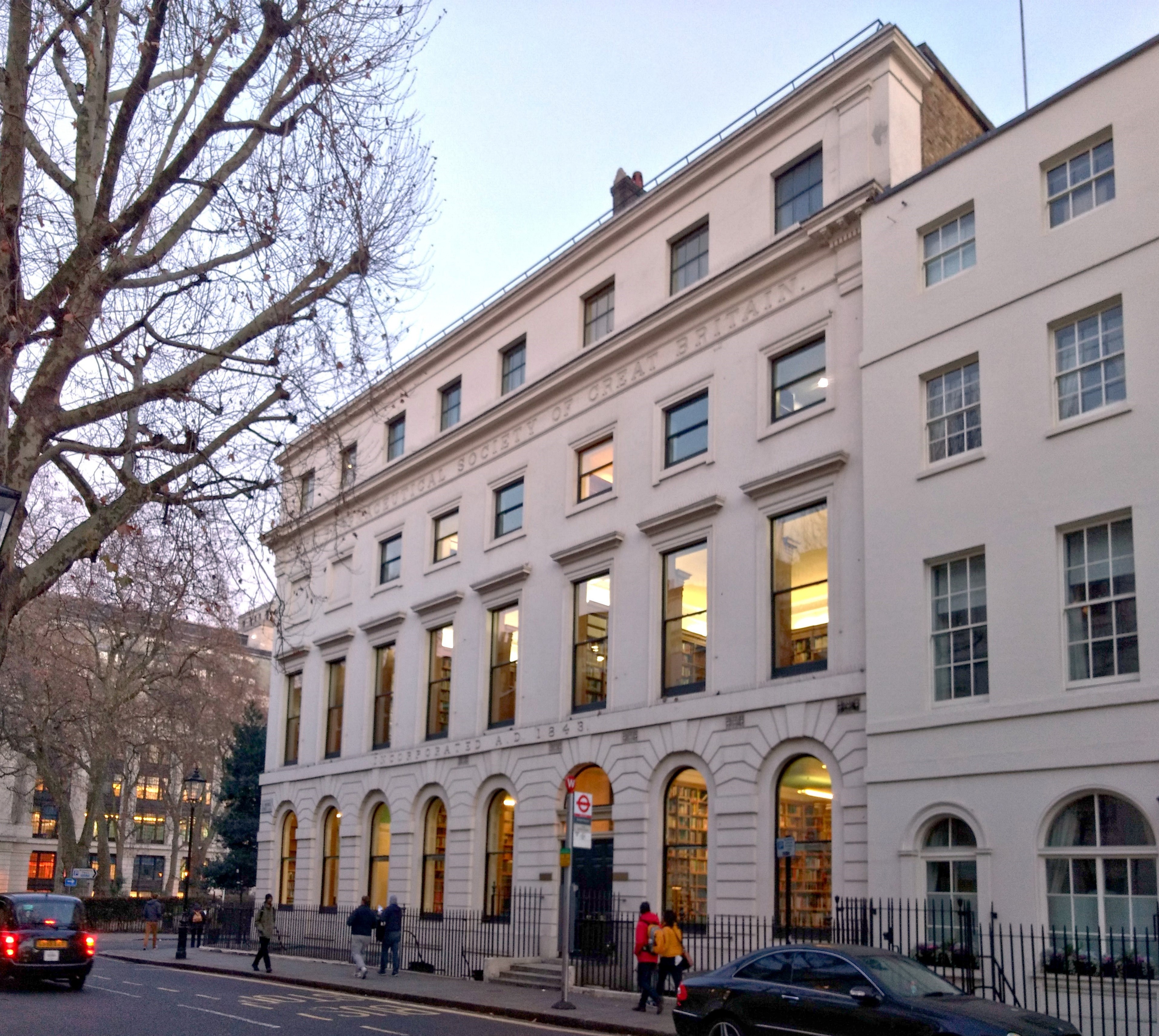
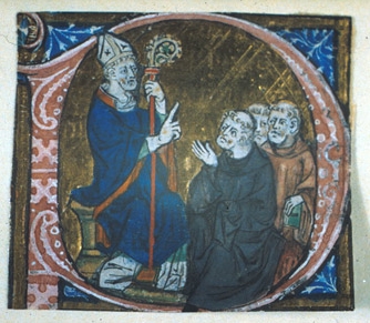
Bishopsgate
Bishopsgate was one of the eastern gates in London's former defensive wall. The gate's name is traditionally attributed to Earconwald, who was Bishop of London in the 7th century. It was first built in Roman times and marked the beginning of Ermine Street, the ancient road running from London to York (Eboracum). The gate was rebuilt twice in the 15th and 18th centuries, but was permanently demolished in 1760. Bishopsgate gave its name to the Bishopsgate Ward of the City of London. The ward is traditionally divided into Bishopsgate Within, inside the line of the former wall, and Bishopsgate Without beyond it. Bishopsgate Without is described as part of London's East End. The ancient boundaries of the City wards were reviewed in 1994 and 2013, so that the wards no longer correspond very closely to their historic extents. Bishopsgate Without gained a significant part of Shoreditch from the London Borough of Hackney, while nearly all of Bishopsgate Within was transferred to ot ... [...More Info...] [...Related Items...] OR: [Wikipedia] [Google] [Baidu] |
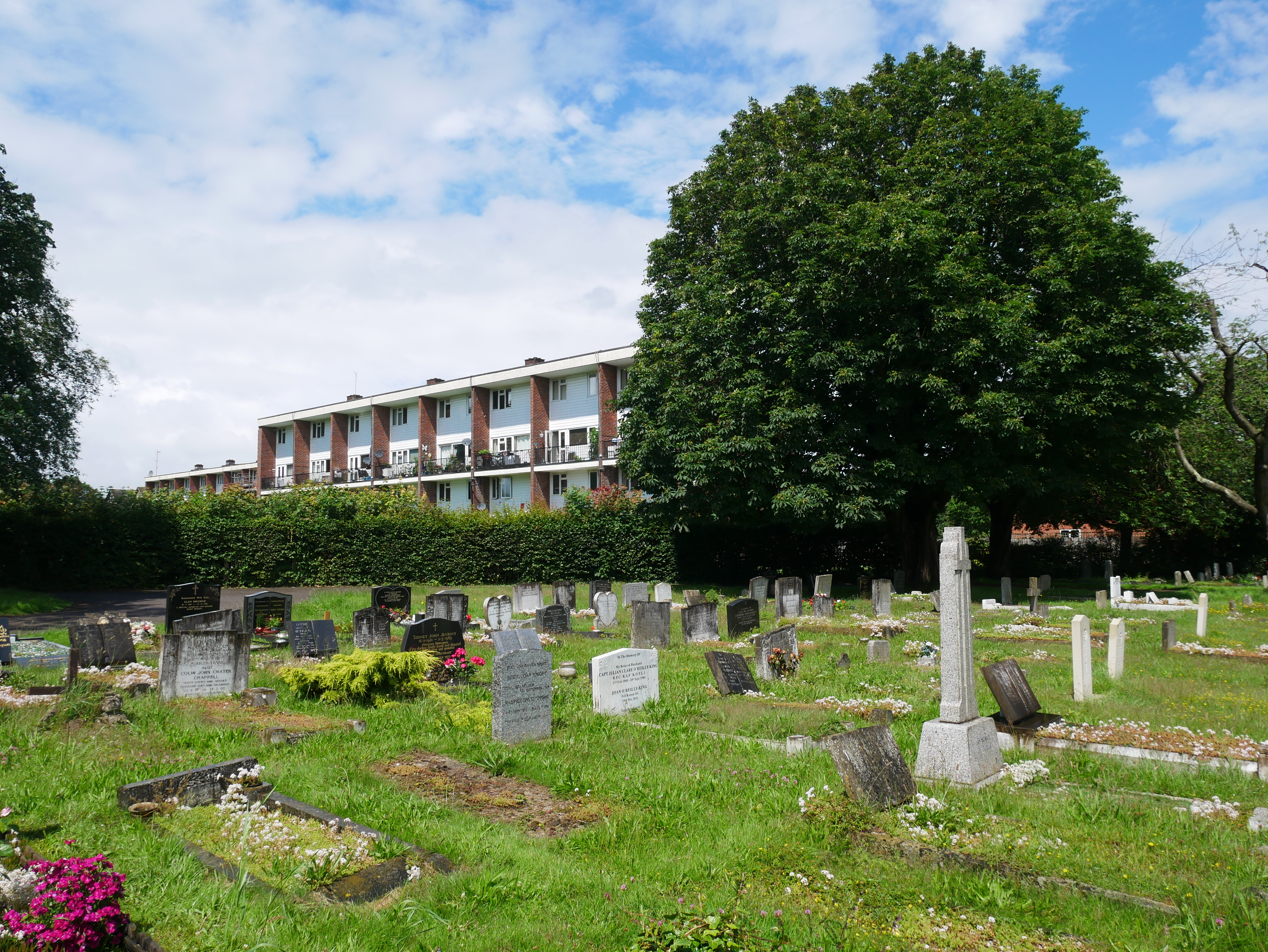
Biggin Hill
Biggin Hill is a town in the London Borough of Bromley, about south-southeast of Charing Cross. It is separated from London's built-up area by the Metropolitan green belt and is located adjacent to the Greater London boundary with Kent and Surrey. Prior to the creation of Greater London in 1965, it was part of Kent. At the 2011 Census, Biggin Hill had a population of 9,951. Biggin Hill is one of the highest points of Greater London, rising to over above sea level. Biggin Hill Airport occupies land formerly used by RAF Biggin Hill, one of the principal fighter bases protecting London from German bombers during the Battle of Britain. History Toponymy Historically, the settlement was known as Aperfield. Local government Biggin Hill formed part of Cudham, an ancient parish in the county of Kent. Following the Local Government Act 1894 it formed part of Bromley Rural District. The parish became part of Orpington Urban District in 1934. Kent County Council formed the se ... [...More Info...] [...Related Items...] OR: [Wikipedia] [Google] [Baidu] |


