|
List Of FIPS Region Codes (A–C)
This is a list of FIPS 10-4 region codes from A-C, using a standardized name format, and cross-linking to articles. On September 2, 2008, FIPS 10-4 was one of ten standards withdrawn by NIST as a Federal Information Processing Standard.Federal Register, September 2, 2008 (Volume 73, Number 170), page 51276 The list here is the last version of codes. For earlier versions, see link below. AC: Antigua and Barbuda AE: United Arab Emirates AF: Afghanistan AG: Algeria AJ: Azerbaijan AL: Albania AM: Armenia AN: Andorra AO: Angola AR: Argentina AS: Australia AU: Austria BA: Bahrain BB: Barbados BC: Botswana BD: Bermuda BE: Belgium BF: The Bahamas BG: Bangladesh BH: Belize BK: Bosnia and Herzegovina BL: Bolivia BM: Burma BN: Benin BO: Belarus BP: Solomon Islands BR: Brazil BT: Bhutan BU: Bulgaria BX: Brunei BY: Burundi CA: Canada CB: Cambodia CD: Chad CE: ... [...More Info...] [...Related Items...] OR: [Wikipedia] [Google] [Baidu] |
FIPS 10-4
The Federal Information Processing Standard, FIPS 10-4 standard, ''Countries, Dependencies, Areas of Special Sovereignty, and Their Principal Administrative Divisions'', was a list of two-letter country codes that were used by the U.S. Government for geographical data processing in many publications, such as the ''The World Factbook, CIA World Factbook''. The standard was also known as DAFIF 0413 ed 7 Amdt. No. 3 (November 2003) and as DIA 65-18 (Defense Intelligence Agency, 1994, "Geopolitical Data Elements and Related Features"). The FIPS 10-4 codes are similar to (but sometimes incompatible with) the ISO 3166-1 alpha-2 country codes. The standard also includes codes for the top-level subdivision of the countries, similar to but usually incompatible with the ISO 3166-2 standard. History On September 2, 2008, FIPS 10-4 was one of ten standards withdrawn by National Institute of Standards and Technology, NIST as a Federal Information Processing Standard. The National Geospatial ... [...More Info...] [...Related Items...] OR: [Wikipedia] [Google] [Baidu] |
Sharjah (emirate)
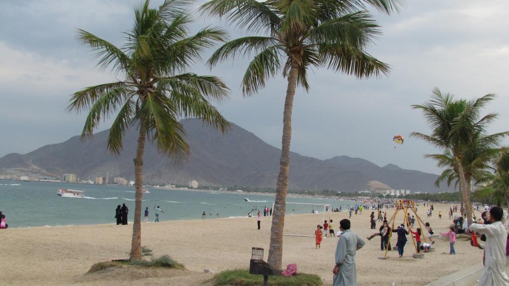
The Emirate of Sharjah (; ') is one of the emirates of the United Arab Emirates, which covers and has a population of over 1,400,000 (2015). It comprises the capital city of Sharjah, after which it is named, and other minor towns and exclaves such as Kalba, Al Dhaid, Dibba Al-Hisn and Khor Fakkan. The emirate is an absolute monarchy. It has been ruled by Sultan bin Muhammad Al-Qasimi since 1972, except for a seven-day period during an attempted coup d'etat by his brother, Sheikh Abd al-Aziz bin Muhammad Al Qasimi. History Human settlement in the area covered by the emirate has existed for over 120,000 years, with significant finds made of early axes and stone tools as well as Copper and Iron Age implements in Al Dhaid, Al Thuqeibah, Mileiha, Tell Abraq, Muwailah, Al Madam and Jebel Faya. Archaeological finds in the Mleiha area point to human habitation consistent with the spread of humanity from Africa to the wider world, evidenced by finds displayed at the ... [...More Info...] [...Related Items...] OR: [Wikipedia] [Google] [Baidu] |
Kabul Province
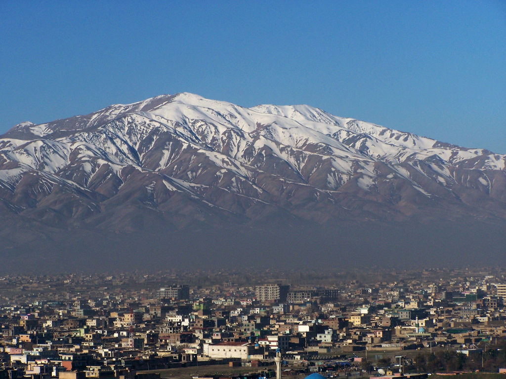
Kabul (Dari/Pashto: ), situated in the east of the country, is one of the thirty-four provinces of Afghanistan. The capital of the province is Kabul city, which is Afghanistan's capital and largest city. The population of the Kabul Province is over 5.5 million people as of 2022, of which over 85 percent live in urban areas. The current governor of the province is Mohammad Aman Obaid. It borders the provinces of Parwan to the north, Kapisa to the north-east, Laghman to the east, Nangarhar to the south-east, Logar to the south, and Wardak to the west. Geography Kabul is located between Latitude 34-31' North and Longitude 69-12' East at an altitude of 1800 m (6000 feet) above sea level, which makes it one of the world's highest capital cities. Kabul is strategically situated in a valley surrounded by high mountains at crossroads of north-south and east-west trade routes. One million years ago the Kabul region was surrounded from south-east between Lowgar and Paghm ... [...More Info...] [...Related Items...] OR: [Wikipedia] [Google] [Baidu] |
Herat Province
Herat ( Dari: هرات) is one of the thirty-four provinces of Afghanistan, located in the western part of the country. Together with Badghis, Farah, and Ghor provinces, it makes up the north-western region of Afghanistan. Its primary city and administrative capital is Herat City. The province of Herat is divided into about 17 districts and contains over 2,000 villages. It has a population of about 3,780,000, making it the second most populated province in Afghanistan behind Kabul Province. The population is multi-ethnic but largely Persian-speaking. Herat dates back to the Avestan times and was traditionally known for its wine. The city has a number of historic sites, including the Herat Citadel and the Musalla Complex. During the Middle Ages Herat became one of the important cities of Khorasan, as it was known as the Pearl of Khorasan. The province of Herat shares a border with Iran in the west and Turkmenistan in the north, making it an important trading region. The ... [...More Info...] [...Related Items...] OR: [Wikipedia] [Google] [Baidu] |
Helmand Province
Helmand (Pashto language, Pashto/Dari language, Dari: ; ), also known as Hillmand, in ancient times, as Hermand and Hethumand, is one of the 34 provinces of Afghanistan, in the south of the country. It is the largest province by area, covering area. The province contains 18 Districts of Afghanistan, districts, encompassing over 1,000 villages, and roughly 1,446,230 settled people. Lashkargah serves as the provincial capital. Helmand was part of the ''Loy Kandahar, Greater Kandahar'' region until made into a separate province by the Politics of Afghanistan, Afghan government in the 20th century. It is largely populated by Pashtuns. The Helmand River flows through the mainly desert region of the province, providing water used for irrigation. The Kajaki Dam, which is one of List of dams and reservoirs in Afghanistan, Afghanistan's major reservoirs, is located in the Kajaki district. Helmand is believed to be one of the world's largest opium producing regions, responsible for aroun ... [...More Info...] [...Related Items...] OR: [Wikipedia] [Google] [Baidu] |
Ghor Province
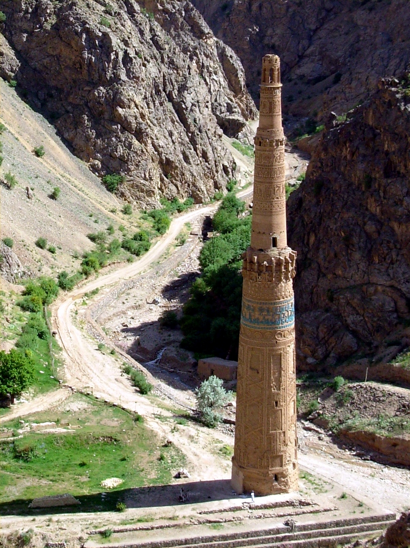
Ghōr, also spelled Ghowr or Ghur (), is one of the thirty-four provinces of Afghanistan. It is located in the western Hindu Kush in central Afghanistan, towards the northwest. The province contains eleven Districts of Afghanistan, districts, encompassing hundreds of villages, and approximately 764,472 settled people. Chaghcharan, Firuzkoh (known as “Chaghcharan” until 2014) is the capital of the province. Etymology The ancient Indo-European languages, Indo-European, Sogdian language, Sogdian ''gor-''/''gur-'' ("mountain"-) is well preserved in all Slavic languages, Slavic ''gor-''/''gór- (goor-/gur-)'', e.g.: Gorals, Goran (Slavic name), Goran, Goranci (other), Goranci, Góra (other), Góra, Gora, Russia, Gora..., in Iranian languages, e.g.: Gorani language, Guran (Kurdish tribe). The Polish language, Polish notation using ''gór-'' ("ó" stands for a sound between English language, English "oo" and "u") instead of the popular ''gur-'' or ''ghur-'' preserv ... [...More Info...] [...Related Items...] OR: [Wikipedia] [Google] [Baidu] |
Ghazni Province
Ghazni (; ) is one of the 34 provinces of Afghanistan, located in southeastern Afghanistan. The province contains 19 Districts of Afghanistan, districts, encompassing over a thousand villages and roughly 1.3 million people, making it the 5th most populous province. The city of Ghazni serves as the capital. It lies on the important Kabul–Kandahar Highway, and has historically functioned as an important trade center. The Ghazni Airport is located next to the city of Ghazni and provides limited domestic flights to Afghanistan's capital, Kabul. Ghazni borders the provinces of Maidan Wardak Province, Maidan Wardak, Logar Province, Logar, Paktia Province, Paktia, Paktika Province, Paktika, Zabul Province, Zabul, Uruzgan Province, Uruzgan, Daykundi Province, Daykundi and Bamyan Province, Bamyan. Etymology The province was known as Ghazna in the 10th century, during and after the Ghaznavid era. History Ghazni was a thriving Buddhist center before and during the 7th century AD. Ex ... [...More Info...] [...Related Items...] OR: [Wikipedia] [Google] [Baidu] |
Faryab Province
Faryab (Dari,Pashto : فاریاب) is one of the thirty-four provinces of Afghanistan, which is located in the north of the country bordering neighboring Turkmenistan. It has a population of about 1,109,223, which is multi-ethnic and mostly a tribal society. The province encompasses 15 districts and over 1,000 villages. The capital of Faryab province is Maymana. It also borders Jowzjan Province, Sar-e Pol Province, Ghor Province and Badghis Province. History Faryab is a Persian toponym meaning "lands irrigated by diversion of river water". The name Faryab takes its name from a town founded in the area by the Sassanids. It is the home town of the famed Islamic philosopher, al-Farabi (per the biographer Ibn al-Nadim). The area is part of the trans-border region of Greater Khorasan; during the colonial era, British geographers referred to the area as Afghan Turkestan. The history of settlement in Faryab is ancient and comprises layer upon layer of occupation. At times, it ... [...More Info...] [...Related Items...] OR: [Wikipedia] [Google] [Baidu] |
Farah Province
Farah (Pashto :فرَاه /) is one of the 34 provinces of Afghanistan, located in the southwestern part of the country on the border with Iran. It is a spacious and sparsely populated province, divided into eleven Districts of Afghanistan, districts and contains hundreds of villages. It has a population of about 563,026, which is multi-ethnic and mostly a rural Pashtun tribes, tribal society. The Farah Airport is located near the city of Farah, Afghanistan, Farah, which serves as the capital of the province. Farah is linked with Iran via the Iranian border town of Mahirud. The famous tourism sites of the province include Pul Garden, New Garden, Kafee Garden, shrine of Sultan Amir and Kafer castl Geographically the province is approximately , roughly twice the size of Maryland, or half the size of South Korea. The province is bounded on the north by Herat Province, Herat, on the northeast by Ghor Province, Ghor, the southeast by Helmand Province, Helmand, the south by Nimroz Provi ... [...More Info...] [...Related Items...] OR: [Wikipedia] [Google] [Baidu] |
Bamyan Province
Bamyan, also spelled Bamiyan, Bāmīān or Bāmyān (), is one of the thirty-four provinces of Afghanistan with the city of Bamyan as its center, located in central parts of Afghanistan. The terrain in Bamyan is mountainous or semi-mountainous, at the western end of the Hindu Kush mountains concurrent with the Himalayas. The province is divided into eight districts, with the town of Bamyan serving as its capital. The province has a population of about 495,557 and borders Samangan to the north, Baghlan, Parwan, and Maidan Wardak to the east, Ghazni and Daikundi to the south, and Ghor and Sar-e-Pol to the west. It is the largest province in the Central region of Afghanistan. It was a center of commerce and Buddhism in the 4th and 5th centuries. In antiquity, central Afghanistan was strategically placed to thrive from the Silk Road caravans that crisscrossed the region, trading between the Roman Empire, Han dynasty, Central Asia, and South Asia. Bamyan was a stopping-off ... [...More Info...] [...Related Items...] OR: [Wikipedia] [Google] [Baidu] |
Baghlan Province
Baghlan ( Dari and ) is one of the 34 provinces of Afghanistan and located in northeastern Afghanistan. As of 2020, the province has a population of about 1,014,634. Its capital is Puli Khumri, but its name comes from the other major town in the province, Baghlan. The ruins of a Zoroastrian fire temple, the Surkh Kotal, are located in Baghlan. The lead nation of the local Provincial Reconstruction Team (PRT) was Hungary, which operated from 2006 to 2015. History Early history The name Baghlan is derived from ''Bagolango'' or "image-temple", inscribed on the temple of Surkh Kotal during the reign of the Kushan emperor Kanishka in the early 2nd century CE. The Chinese Buddhist monk Xuanzang traveled through Baghlan in the mid-7th century CE, and referred to it as the "kingdom of ''Fo-kia-lang''". In the 13th century CE, a permanent garrison of Mongol troops was quartered in the Kunduz-Baghlan area, and in 1253 fell under the jurisdiction of Sali Noyan Tatar, appointed b ... [...More Info...] [...Related Items...] OR: [Wikipedia] [Google] [Baidu] |
Badghis Province
Bādghīs () is one of the thirty-four provinces of Afghanistan, located in the northwest of the country, on the border with Turkmenistan. It is considered to be one of the country's most underdeveloped provinces, with the highest poverty rate. The capital is Qala e Naw, while the most populous city and the district are Bala Murghab. The ruins of the medieval city of Marw al-Rudh, the historical capital of the medieval region of Gharjistan, are located in the province near the modern city of Bala Murghab. Geography Badghis Province is located in the isolated hills of northwestern Afghanistan and shares its borders with Herat, Ghor, and Faryab provinces as well as Turkmenistan. The province has a total area of 20,591 km2. Hydrologically, the province is dominated by the Murghab River which is used for irrigation. It contains some mountains but is predominantly characterized by rolling hills divided by ravines. The province is very windy; the name "Badghis" is a corrupt ... [...More Info...] [...Related Items...] OR: [Wikipedia] [Google] [Baidu] |


