|
List Of Australian Freeways
Australian Capital Territory Canberra region * Federal Highway - Between State Border with New South Wales, and Antill Street Roundabout. M23 designation diverts at the Majura Parkway interchange, while Federal Highway continues as A23. * Majura Parkway * Monaro Highway - Between Majura Parkway and Lanyon Drive. Upgrades of the road are currently underway to extend the Freeway section of the Highway to Johnson Drive in the South of Canberra. Other freeways (no route number) * Adelaide Avenue * Yarra Glen * Capital Circle * Gungahlin Drive Extension * Parkes Way * Tuggeranong Parkway Gallery File:Federal Hwy at NSW ACT Border.JPG, M23 Federal Highway New South Wales New South Wales has the largest number and second highest density of motorways in Australia (behind Victoria), with the majority being located in Sydney City or the metropolitan areas. Sydney region (urban motorways) * Speed limit varies between 60 km/h and 110 km/h. * Gore Hill F ... [...More Info...] [...Related Items...] OR: [Wikipedia] [Google] [Baidu] |
Federal Highway, Australia
The Federal Highway is a highway in New South Wales and the Australian Capital Territory. It is a part of a motorway-standard link between Sydney and Canberra, and is also the main thoroughfare between those cities. The north-eastern end of the Federal Highway is located at its junction with Hume Highway near the rural city of Goulburn. It runs southwest to Canberra, the national capital of Australia, where its southwestern end is located at the intersection of Northbourne Avenue and Barton Highway. The Federal Highway passes the villages of Wollogorang, New South Wales, Wollogorang, and , as well as skirting the western side of the endorheic basin containing Lake George, New South Wales, Lake George. Route Federal Highway is a motorway-standard roadway linking from the interchange with Hume Highway at , southeast of Goulburn, to Canberra in the Australian Capital Territory. The roadway has a continuous speed limit within New South Wales northbound. A southbound section betw ... [...More Info...] [...Related Items...] OR: [Wikipedia] [Google] [Baidu] |
Lane Cove Tunnel
The Lane Cove Tunnel is a twin-tunnel tollway in Sydney, Australia that is part of the Sydney Orbital Network. Owned by Transurban, It connects the M2 Motorway at North Ryde with the Gore Hill Freeway at Artarmon and forms part of Sydney's M2 route, with the M2 Hills Motorway constituting the rest of the M2 route. History On 1 October 2003, the Lane Cove Tunnel Company was awarded a $1.1 billion contract to design and construct the tunnel to a joint venture between Thiess and John Holland. The company, later known as Connector Motorways, would operate the tunnel as well as the associated Falcon Street Gateway (now Military Road E-ramp). It was intended to replace the few kilometres motorists had to drive along Epping Road, through the suburb of Lane Cove, between two sections of freeway. During construction, in the early hours of 2 November 2005, the roof of a ventilation tunnel for the project collapsed. The collapse caused a 10 by 10 metre crater to appear near ... [...More Info...] [...Related Items...] OR: [Wikipedia] [Google] [Baidu] |
Heathcote Road
Heathcote Road is a major arterial road in the south of Sydney, Australia. It plays a major role in the servicing of traffic travelling between the Illawarra and Western Sydney, and its eastern end is a constituent part of the A6 route. Route Heathcote Road commences at the intersection of Newbridge Road in Moorebank, just east of Liverpool, and heads in a southeasterly direction as a four-lane, single carriageway road, meeting M5 South Western Motorway shortly afterwards. Still heading southeast, it enters the more rural areas of southern Sydney, past the Holsworthy Barracks in the northern borders of Heathcote National Park in Holsworthy. It meets New Illawarra Road at Lucas Heights, and eventually terminates at the intersection with Princes Highway in Heathcote. As its name suggests, the road is generally surrounded by heath, but more often dry eucalyptus woodlands and shrublands with some mallee vegetation. The road has a history of accidents, due to its narrow ... [...More Info...] [...Related Items...] OR: [Wikipedia] [Google] [Baidu] |
Bradfield Highway, Sydney
Bradfield Highway is a highway that crosses the Sydney Harbour Bridge in Sydney, New South Wales and is one of the shortest highways in Australia. It opened along with the bridge itself on 19 March 1932 and was named in honour of John Bradfield, the engineer who designed and helped construct it. Route Bradfield Highway commences at the interchange with Warringah Freeway and Lavender Street in North Sydney and heads in a southerly direction as an eight-lane multi-carriageway road, crossing Port Jackson over the Sydney Harbour Bridge, before shortly terminating at the interchange with Western Distributor and Cahill Expressway, at the former southern toll plaza at the southern foot of the bridge, at Millers Point. Bradfield Highway currently carries eight lanes of traffic over Sydney Harbour Bridge, each numbered from one to eight from west to east, but with the two easternmost lanes (lanes 7 and 8) permanently assigned in a southbound direction: lane 7 as a 24hr bus lane, an ... [...More Info...] [...Related Items...] OR: [Wikipedia] [Google] [Baidu] |
Western Distributor, Sydney
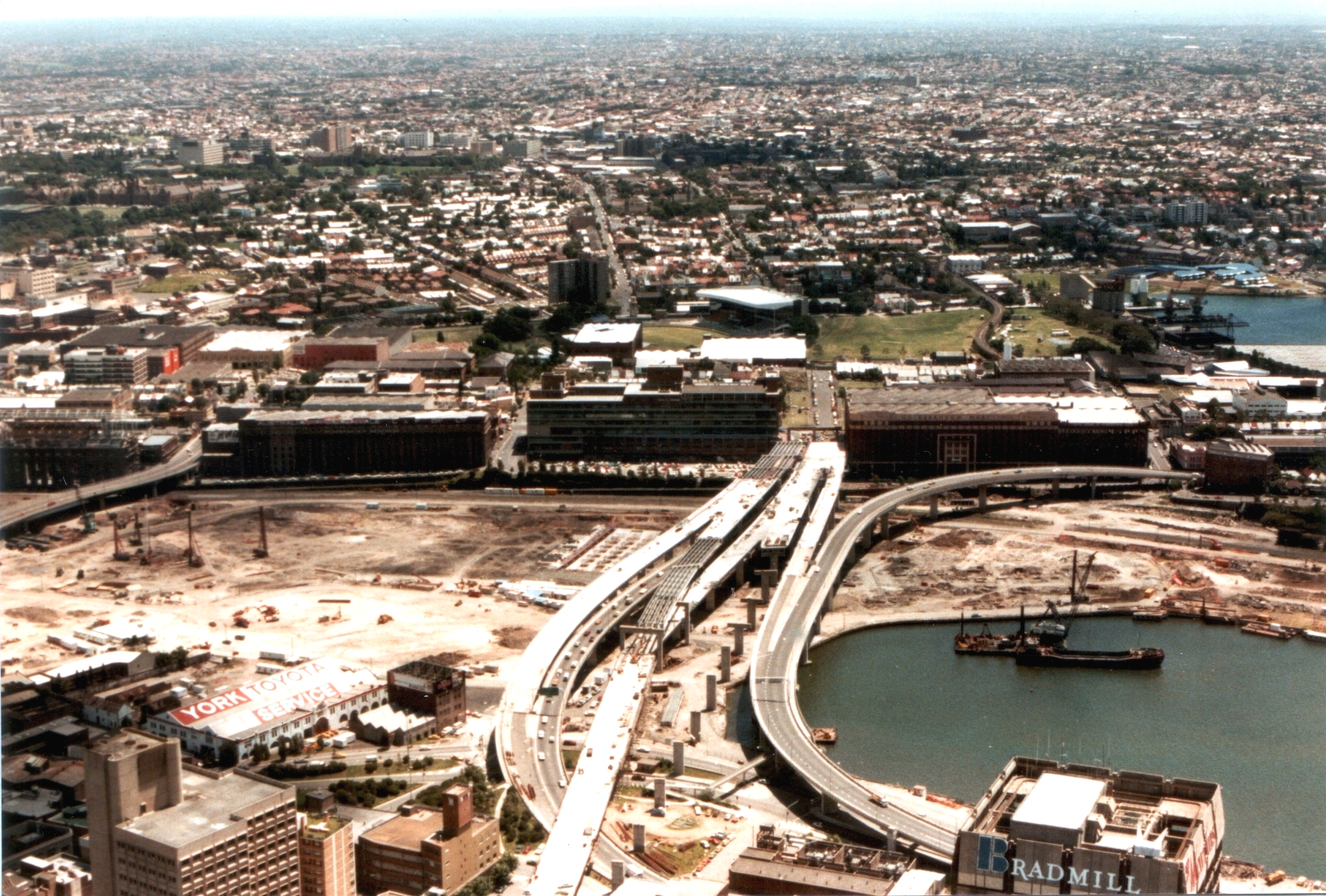
Western Distributor is a grade-separated motorway that is primarily elevated for the majority of its route on the western fringe of the Sydney central business district. It links the southern end of Bradfield Highway at the Sydney Harbour Bridge to Victoria Road in Rozelle, at its western terminus near White Bay. It is a constituent part of the A4 route. Route It is an unusual motorway as, citybound, it heads east, southeast after the Anzac Bridge, east, north then northeast. The freeway distributes traffic arriving from the north (a function which gives the road its name) while collecting traffic from the CBD, distributing it through Pyrmont and Ultimo before crossing over the Anzac Bridge. In the citybound direction, traffic is collected from Victoria Road and the City West Link, as well as various on ramps in the Pyrmont and Ultimo areas. Traffic is distributed into the CBD through various off ramps in Pyrmont and the western edge of the CBD, as well as into the Cross C ... [...More Info...] [...Related Items...] OR: [Wikipedia] [Google] [Baidu] |
Anzac Bridge
The Anzac Bridge is an eight-lane cable-stayed bridge that carries the Western Distributor (A4) across Johnstons Bay between Pyrmont and Glebe Island (part of the suburb of Rozelle), on the western fringe of the Sydney central business district, New South Wales, Australia. The bridge forms part of the road network leading from the central business district, the Sydney Harbour Bridge, and Cross City Tunnel to the Inner West and Northern Suburbs. History Glebe Island bridges There were two bridges over Johnstons Bay before the construction of the Anzac Bridge. The first bridge was constructed as part of a project to move the abattoirs out of central Sydney, and to construct public abattoirs at Glebe Island. The first pile of the original bridge was driven in October 1860. The bridge was opened in 1862 and was a timber beam bridge long and wide with a swing section on the eastern side. It replaced a double steam punt crossing. The second Glebe Island Bridge was an ... [...More Info...] [...Related Items...] OR: [Wikipedia] [Google] [Baidu] |
Rozelle Interchange
The Rozelle Interchange is an underground motorway interchange in Sydney, New South Wales, Australia. It was built as part of WestConnex and opened to traffic on 26 November 2023. The interchange includes a toll-free bypass of Victoria Road between the Iron Cove Bridge and the Anzac Bridge known as the Iron Cove Link. The interchange is located at the site of the former Rozelle Rail Yards. It is one of largest and most complex underground junctions in the world. It has three storeys of tunnels, with the deepest being below ground. The interchange will be the southern terminus of the under-construction Western Harbour Tunnel, which will be completed in 2028. Stub tunnels for the new tunnel were built during the construction of the interchange. On the surface above the underground interchange is a parkland known as Rozelle Parklands. The interchange has been described as "Australia's most complex underground junction" and a spaghetti junction. Design The interchange con ... [...More Info...] [...Related Items...] OR: [Wikipedia] [Google] [Baidu] |
M4 East
The M4 motorway is a series of partially tolled dual carriageway motorways in Sydney designated as route M4. The M4 designation is part of the wider A4 and M4 route designation, the M4 runs parallel and/or below ground to Great Western Highway, Parramatta Road and City West Link, which are part of route A44. The M4 motorway comprises two connected parts: *Western Motorway is the original section, completed between 1971 and 1993 between and , before continuing west as Great Western Highway through the Blue Mountains towards Bathurst. In 2017, the section between Church Street in to was widened and tolled as part of WestConnex. *East Motorway, an eastern tunnel extension of the M4 from to was completed between 2019 and 2023 as part of WestConnex. This extension had been proposed since the 1990s. Its eastern end is the Rozelle Interchange with connections with the M8 motorway, Victoria Road and the Anzac Bridge. Route Western Motorway commences at the transition poi ... [...More Info...] [...Related Items...] OR: [Wikipedia] [Google] [Baidu] |
Parramatta
Parramatta (; ) is a suburb (Australia), suburb and major commercial centre in Greater Western Sydney. Parramatta is located approximately west of the Sydney central business district, Sydney CBD, on the banks of the Parramatta River. It is commonly regarded as the secondary central business district of metropolitan Greater Sydney, Sydney. Parramatta is the municipal seat of the Local government areas of New South Wales, local government area of the City of Parramatta and is often regarded as one of the primary centres of the Greater Sydney metropolitan region, along with the Sydney central business district, Sydney CBD, Penrith, New South Wales, Penrith, Campbelltown, New South Wales, Campbelltown, and Liverpool, New South Wales, Liverpool. Parramatta also has a long history as a second administrative centre in the Sydney metropolitan region, playing host to a number of government departments, as well as state and federal courts. It is often colloquially referred to as "Parra" ... [...More Info...] [...Related Items...] OR: [Wikipedia] [Google] [Baidu] |
M4 Motorway (Sydney)
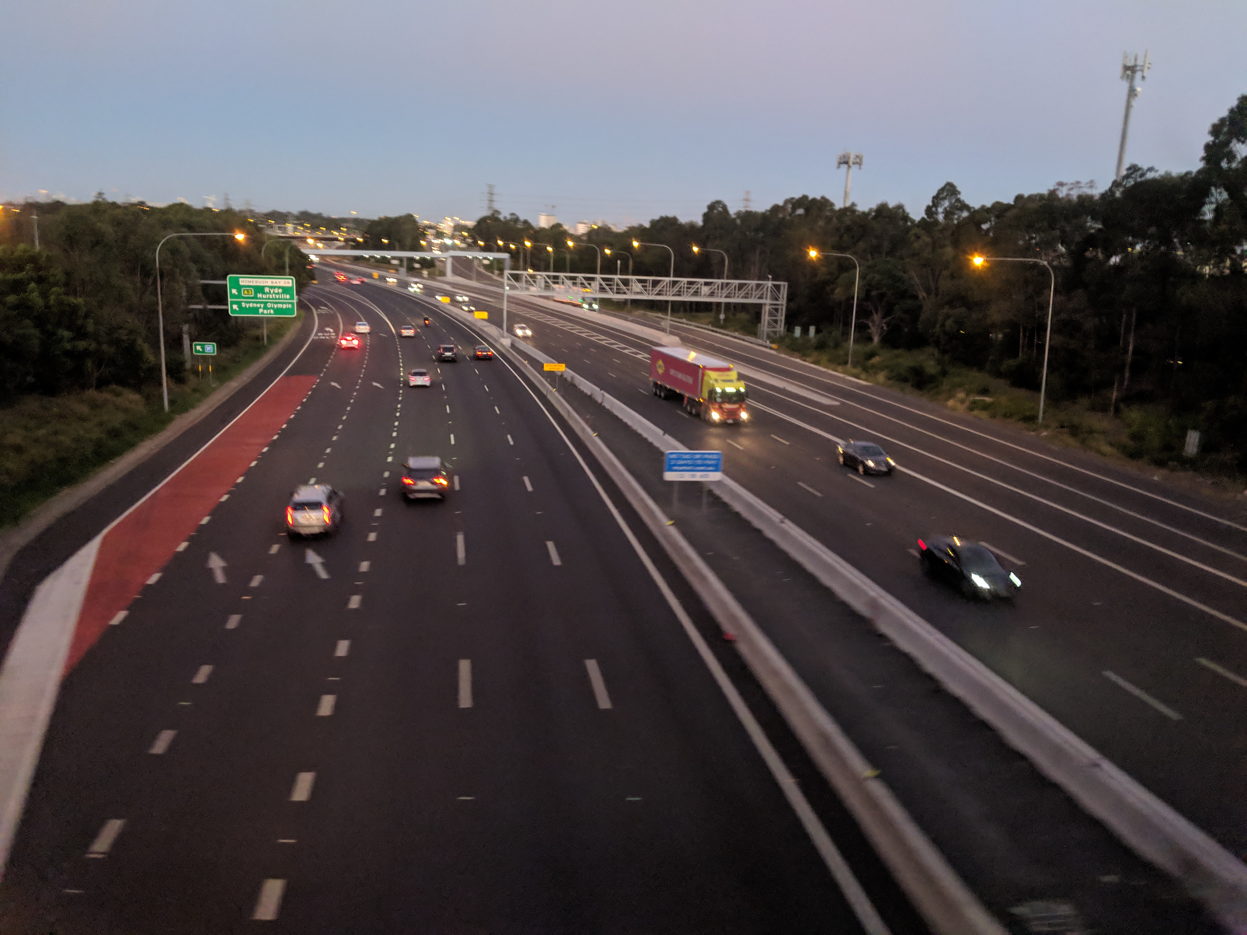
The M4 motorway is a series of partially tolled dual carriageway motorways in Sydney designated as route M4. The M4 designation is part of the wider A4 and M4 route designation, the M4 runs parallel and/or below ground to Great Western Highway, Parramatta Road and City West Link, which are part of route A44. The M4 motorway comprises two connected parts: *Western Motorway is the original section, completed between 1971 and 1993 between and , before continuing west as Great Western Highway through the Blue Mountains towards Bathurst. In 2017, the section between Church Street in to was widened and tolled as part of WestConnex. *East Motorway, an eastern tunnel extension of the M4 from to was completed between 2019 and 2023 as part of WestConnex. This extension had been proposed since the 1990s. Its eastern end is the Rozelle Interchange with connections with the M8 motorway, Victoria Road and the Anzac Bridge. Route Western Motorway commences at the transition p ... [...More Info...] [...Related Items...] OR: [Wikipedia] [Google] [Baidu] |


