|
Leaota Mountains
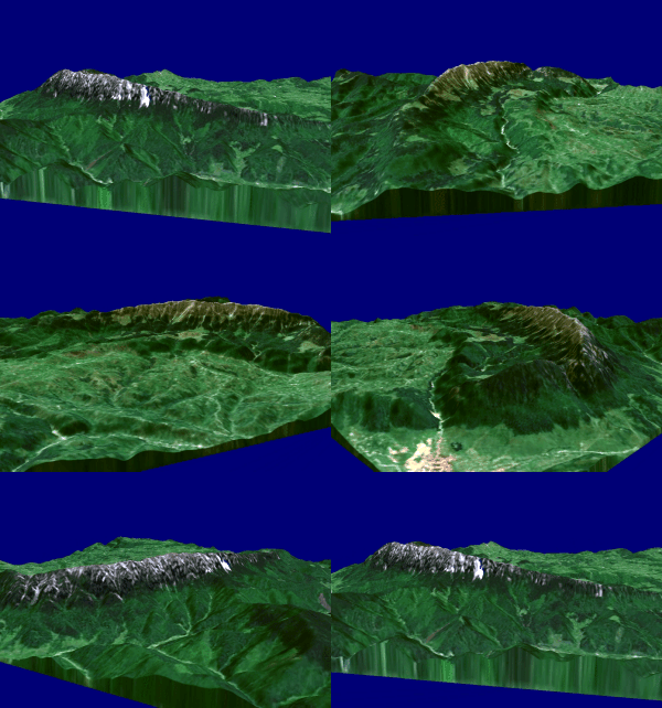
The Leaota Mountains are located in central Romania, north of the city of Târgoviște. They are part of the Southern Carpathians group of the Carpathian Mountains, and have as neighbours the Bucegi Mountains to the east and Piatra Craiului to the west. The mountains cover an area of within Dâmbovița, Argeș, and Brașov Brașov (, , ; , also ''Brasau''; ; ; Transylvanian Saxon dialect, Transylvanian Saxon: ''Kruhnen'') is a city in Transylvania, Romania and the county seat (i.e. administrative centre) of Brașov County. According to the 2021 Romanian census, ... counties. The high pyramidal rises in a superb land of dense fir forests, wild animals, few wanderer shepherds, and almost no tourists. Leaota tourist shelter The shelter was built in the 1940s at an altitude of above sea level. It is currently abandoned, being used sporadically by passing tourists. In 1962 the chalet had running water, electricity generator, permanent buffet and ski slopes arranged nearby. ... [...More Info...] [...Related Items...] OR: [Wikipedia] [Google] [Baidu] |
Romania
Romania is a country located at the crossroads of Central Europe, Central, Eastern Europe, Eastern and Southeast Europe. It borders Ukraine to the north and east, Hungary to the west, Serbia to the southwest, Bulgaria to the south, Moldova to the east, and the Black Sea to the southeast. It has a mainly continental climate, and an area of with a population of 19 million people. Romania is the List of European countries by area, twelfth-largest country in Europe and the List of European Union member states by population, sixth-most populous member state of the European Union. Europe's second-longest river, the Danube, empties into the Danube Delta in the southeast of the country. The Carpathian Mountains cross Romania from the north to the southwest and include Moldoveanu Peak, at an altitude of . Bucharest is the country's Bucharest metropolitan area, largest urban area and Economy of Romania, financial centre. Other major urban centers, urban areas include Cluj-Napoca, Timiș ... [...More Info...] [...Related Items...] OR: [Wikipedia] [Google] [Baidu] |
Târgoviște
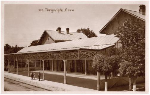
Târgoviște (, alternatively spelled ''Tîrgoviște'') is a Municipiu, city and county seat in Dâmbovița County, Romania. It is situated north-west of Bucharest, on the right bank of the Ialomița (river), Ialomița River. Târgoviște was one of the most important cities in the history of Wallachia, as it was its capital from 1418 to 1659. At the 2021 Romanian census, 2021 census, the city had a population of 66,965 people, making it the 27th largest in the country. Etymology The name ''Târgoviște'' is a Slavic name which the city acquired in the Middle Ages. It is derived from the old Slavonic word for "marketplace", referring to the place rather than the market itself. The name is found in placenames not only in South Slavic areas (Bulgarian , Serbian and Croatian '), but also in West Slavic such as Slovak ''Trhovište'', Czech ''Trhoviště'' or Polish ''Targowica, Lower Silesian Voivodeship, Targowica''. Additionally, places with the same name are found in Romania, ... [...More Info...] [...Related Items...] OR: [Wikipedia] [Google] [Baidu] |
Southern Carpathians
The Southern Carpathians (also known as the Transylvanian Alps; ; ) are a group of mountain ranges located in southern Romania. They cover the part of the Carpathian Mountains located between the Prahova River in the east and the Timiș and Cerna Rivers in the west. To the south they are bounded by the Balkan Mountains in eastern Serbia. Heights The Southern Carpathians are the second highest group of mountains in the Carpathian Mountain range (after Tatra), reaching heights of over 2,500 meters. Although considerably smaller than the Alps, they are classified as having an alpine landscape. Their high mountain character, combined with great accessibility, makes them popular with tourists and scientists. The highest peaks are: * Moldoveanu Peak, 2,544 metres – Făgăraș Mountains * Negoiu, 2,535 metres – Făgăraș Mountains * Parângu Mare, 2,519 metres – Parâng Mountains * Omu Peak 2,514 metres – Bucegi Mountains * Peleaga, 2,509 metres – Retezat Mou ... [...More Info...] [...Related Items...] OR: [Wikipedia] [Google] [Baidu] |
Carpathian Mountains
The Carpathian Mountains or Carpathians () are a range of mountains forming an arc across Central Europe and Southeast Europe. Roughly long, it is the third-longest European mountain range after the Ural Mountains, Urals at and the Scandinavian Mountains at . The highest peaks in the Carpathians are in the Tatra Mountains, exceeding , closely followed by those in the Southern Carpathians in Romania, exceeding . The range stretches from the Western Carpathians in Austria, the Czech Republic, Slovakia and Poland, clockwise through the Eastern Carpathians in Ukraine and Romania, to the Southern Carpathians in Romania and Serbia.About the Carpathians – Carpathian Heritage Society [...More Info...] [...Related Items...] OR: [Wikipedia] [Google] [Baidu] |
Bucegi Mountains
The Bucegi Mountains ( ) are located in central Romania, south of the city of Brașov. They are part of the Southern Carpathians group of the Carpathian Mountains. At , ''Omu Peak, Omu'' is its highest point. To the east, the Bucegi Mountains have a very steep slope towards the popular tourist destinations in the Prahova Valley, such as Bușteni and Sinaia. At a higher elevation is the Bucegi Plateau, where wind and rain have turned the rock (geology), rocks into spectacular figures such as the Sphinx (Romania), Sphinx and ''Babele''. The Bucegi is believed to be the Dacians, Dacian holy mountain ''Kogainon'', on which the God Zalmoxis resided in a cave. Name The exact origin of the name "Bucegi" is disputed by philologists. "Buceag" or "bugeac" seems to be the source of the name, a word designating in the language of mountain people both the moss in the forest and the wilderness or the junipers. An archaic version of the name "Bucegi" is "Buceci", name still used today by elder ... [...More Info...] [...Related Items...] OR: [Wikipedia] [Google] [Baidu] |
Piatra Craiului
The Piatra Craiului Mountains (, ) are a mountain range in the Southern Carpathians in Romania. Its name is translated as ''Kings' Rock'' or ''The Rock of the Prince''. The mountain range is located in Brașov County, Brașov and Argeș County, Argeș counties; it is included in the Piatra Craiului National Park, which covers an area of . The Piatra Craiului mountains form a narrow and saw-like ridge, which is about long. The highest elevation in the massif is the at . The ridge is regarded as one of the most beautiful sites in the Carpathian Mountains, Carpathians. The two-day north–south ridge trail is both challenging and rewarding. Starting at either Plaiul Foii in the north-west or Curmătura in the north-east, walkers climb up to the ridge before following a somewhat precarious path along the narrow spine. The descent at the southern end leads into a karst landscape of deep gorges and pitted slopes where water penetrating the rock has carved a series of caves. Loc ... [...More Info...] [...Related Items...] OR: [Wikipedia] [Google] [Baidu] |
Dâmbovița County
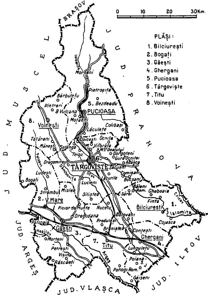
Dâmbovița County (; also spelt Dîmbovița) is a county () of Romania, in Muntenia, with the capital city at Târgoviște, the most important economic, political, administrative and cultural center of the county. It is a traditional administrative unit, first attested in 1512. Demographics In 2021, it had a population of 479,404 and the population density was 120/km2. It is one of the most densely populated counties in Romania. * Romanians – 87.09% * Roma - 3.96% * Bulgarians - 0.31% * Serbians 0.1% * Others - 0.13% * Unknown - 8.41% Name The county is named after the Dâmbovița River, which is a name of Slavic origin, derived from ''Дъб, dâmb'', meaning "oak", as it once flowed through the oak forests of the Wallachian Plain. Geography Dâmbovița county has a total area of 4,054 km2 (1.7% of the country's surface). It is situated in the south-central part of the country, on the Ialomița and Dâmbovița river basins. The highest altitude is Omu Pe ... [...More Info...] [...Related Items...] OR: [Wikipedia] [Google] [Baidu] |
Argeș County
Argeș County () is a county (''județ'') of Romania, in Muntenia, with the county seat at Pitești. Demographics At the 2021 Romanian census, 2021 census, the county had a population of 569,932 and the population density was . At the 2011 Romanian census, 2011 census, it had a population of 612,431 and the population density was . * Romanians – 97% * Romani people in Romania, Roma (Gypsies) and Minorities of Romania, other ethnic groups – 3% Geography This county has a total area of . The landforms can be split into 3 distinctive parts. In the north side there are the mountains, from the Southern Carpathians group – the Făgăraș Mountains with Moldoveanu Peak (2,544 m), Negoiu Peak (2,535 m) and Vânătoarea lui Buteanu peak (2,508 m) towering the region, and in the North-East part the Leaotă Mountains. Between them there is a pass towards Brașov, the Rucăr–Bran Pass. The heights decrease, and in the center there are the sub-carpathian hills, with heights aro ... [...More Info...] [...Related Items...] OR: [Wikipedia] [Google] [Baidu] |
Brașov County
Brașov County () is a county (județ) of Transylvania, Romania. Its capital city is Brașov. The county incorporates within its boundaries most of the Medieval "lands" (''țări'') Burzenland and Făgăraș. Name In Hungarian language, Hungarian, it is known as ''Brassó megye'', and in German language, German as ''Kreis Kronstadt''. Under Austria-Hungary, a county with an identical name (Brassó County, ) was created in 1876, covering a smaller area. Demographics At the 2011 Romanian census, 2011 census, the county had a population of 549,217 and the population density was . * Romanians – 87.4% * Hungarians in Romania, Hungarians – 7.77% * Romani people in Romania, Romas – 3.5% * Germans of Romania, Germans (Transylvanian Saxons) – 0.65% At the 2021 Romanian census, 2021 census, Brașov County had a population of 546,615 and the population density was . * Romanians – 88.33% * Hungarians in Romania, Hungarians – 5,98% * Romani people in Romania, Romas – 4.98% ... [...More Info...] [...Related Items...] OR: [Wikipedia] [Google] [Baidu] |
Mountain Ranges Of Romania
A mountain is an elevated portion of the Earth's crust, generally with steep sides that show significant exposed bedrock. Although definitions vary, a mountain may differ from a plateau in having a limited summit area, and is usually higher than a hill, typically rising at least above the surrounding land. A few mountains are isolated summits, but most occur in mountain ranges. Mountains are formed through tectonic forces, erosion, or volcanism, which act on time scales of up to tens of millions of years. Once mountain building ceases, mountains are slowly leveled through the action of weathering, through slumping and other forms of mass wasting, as well as through erosion by rivers and glaciers. High elevations on mountains produce colder climates than at sea level at similar latitude. These colder climates strongly affect the ecosystems of mountains: different elevations have different plants and animals. Because of the less hospitable terrain and climate, mountains t ... [...More Info...] [...Related Items...] OR: [Wikipedia] [Google] [Baidu] |


