|
Land Drainage Act 1930
The Land Drainage Act 1930 ( 20 & 21 Geo. 5. c. 44) was an act of Parliament passed by the United Kingdom Government which provided a new set of administrative structures to ensure that drainage of low-lying land could be managed effectively. It followed the proposals of a royal commission which sat during 1927. The act sought to set up catchment boards with overall responsibility for each of the main rivers of England and Wales, and to alter the basis on which drainage rates could be collected, removing the 400-year-old precept that only those who directly benefitted from drainage works could be expected to pay for them. Background Prior to the 1930s, land drainage in the United Kingdom was regulated by the Statute of Sewers ( 23 Hen. 8. c. 5), passed by King Henry VIII in 1531, and several further acts which built upon that foundation. However, there was some dissatisfaction with these powers, as although there were administrative bodies with powers to manage the drainage o ... [...More Info...] [...Related Items...] OR: [Wikipedia] [Google] [Baidu] |
House Of Lords
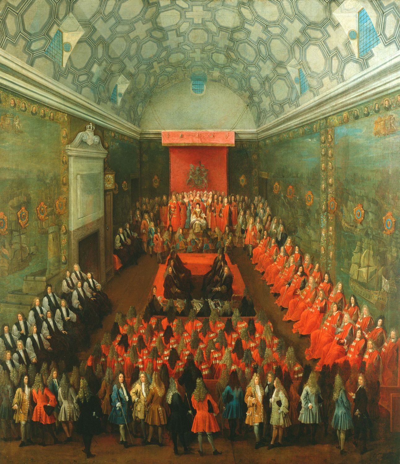
The House of Lords is the upper house of the Parliament of the United Kingdom. Like the lower house, the House of Commons of the United Kingdom, House of Commons, it meets in the Palace of Westminster in London, England. One of the oldest extant institutions in the world, its origins lie in the early 11th century and the emergence of bicameralism in the 13th century. In contrast to the House of Commons, membership of the Lords is not generally acquired by Elections in the United Kingdom, election. Most members are Life peer, appointed for life, on either a political or non-political basis. House of Lords Act 1999, Hereditary membership was limited in 1999 to 92 List of excepted hereditary peers, excepted hereditary peers: 90 elected through By-elections to the House of Lords, internal by-elections, plus the Earl Marshal and Lord Great Chamberlain as members Ex officio member, ''ex officio''. No members directly inherit their seats any longer. The House of Lords also includes ... [...More Info...] [...Related Items...] OR: [Wikipedia] [Google] [Baidu] |
River Avon (Warwickshire)
The River Avon ( or ) in central England flows generally southwestwards and is a major left-bank and easternmost tributary of the River Severn. It is also known as the Warwickshire Avon or Shakespeare's Avon, to distinguish it from several other rivers of the same name in the United Kingdom. Beginning in Northamptonshire, the river flows through or adjoining the counties of Leicestershire, Northamptonshire, Warwickshire, Worcestershire and Gloucestershire, near the Cotswold Hills area. Notable towns it flows through include Rugby, Warwick, Stratford-upon-Avon, Evesham, Pershore and Tewkesbury, where it joins the Severn. It has traditionally been divided since 1719 into the Lower Avon, below Evesham, and the Upper Avon, from Evesham to above Stratford-upon-Avon. Improvements to aid navigation began in 1635, and a series of locks and weirs made it possible to reach Stratford, and to within of Warwick. The Upper Avon was tortuous and prone to flooding, and was abandoned as a ... [...More Info...] [...Related Items...] OR: [Wikipedia] [Google] [Baidu] |
River Arun
The River Arun () is a river in the English county of West Sussex. At long, it is the longest river entirely in Sussex and one of the longest starting in Sussex after the River Medway, River Wey and River Mole. From the series of small streams that form its source in the area of St Leonard's Forest in the Weald, the Arun flows westwards through Horsham to Nowhurst where it is joined by the North River. Turning to the south, it is joined by its main tributary, the western River Rother, and continues through a gap in the South Downs to Arundel to join the English Channel at Littlehampton. It is one of the faster flowing rivers in England, and is tidal as far inland as Pallingham Quay, upstream from the sea at Littlehampton. The Arun gives its name to the Arun local government district of West Sussex. The first major improvements to the river were made between the 1540s and the 1570s, when Arundel became a port, and navigation up to Pallingham was improved, but barges ha ... [...More Info...] [...Related Items...] OR: [Wikipedia] [Google] [Baidu] |
Anglesey
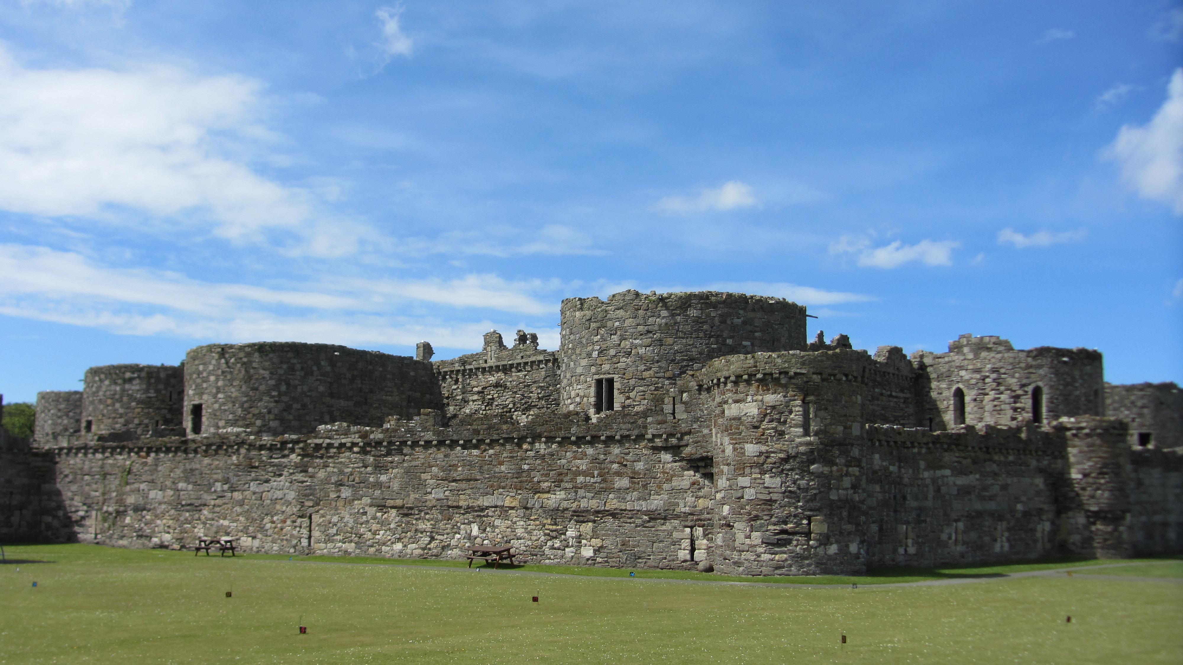
Anglesey ( ; ) is an island off the north-west coast of Wales. It forms the bulk of the Principal areas of Wales, county known as the Isle of Anglesey, which also includes Holy Island, Anglesey, Holy Island () and some islets and Skerry, skerries. The county borders Gwynedd across the Menai Strait to the southeast, and is otherwise surrounded by the Irish Sea. Holyhead is the largest town, and the administrative centre is Llangefni. The county is part of the Preserved counties of Wales, preserved county of Gwynedd. Anglesey is the northernmost county in Wales. The Isle of Anglesey has an area of and a population of in . After Holyhead (12,103), the largest settlements are Llangefni (5,500) and Amlwch (3,967). The economy of the county is mostly based on agriculture, energy, and tourism, the latter especially on the coast. Holyhead is also a major ferry port for Dublin, Ireland. The county has the second-highest percentage of Welsh language, Welsh speakers in Wales, at 57.2%, ... [...More Info...] [...Related Items...] OR: [Wikipedia] [Google] [Baidu] |
River Ancholme
The River Ancholme is a river in Lincolnshire, England, and a tributary of the River Humber, Humber. It rises at Ancholme Head, a spring just north of the village of Ingham, Lincolnshire, Ingham and immediately west of the Roman Road, Ermine Street. It flows east and then north to Bishopbridge west of Market Rasen, where it is joined by the River Rase, Rase. North of there it flows through the market town of Brigg, North Lincolnshire, Brigg before draining into the Humber at South Ferriby. It drains a large part of northern Lincolnshire between the River Trent, Trent and the North Sea. The river has been used by humans since at least 800 BC, seen by the excavation of a planked boat at Brigg. Letters patent for improvements to the river are known from 1287 onwards. Major change occurred in 1635, when a new straight channel was constructed from Bishopbridge to Ferriby. The new channel carries most of the water, the ''New River Ancholme'', whereas the ''Old River Ancholme'' ... [...More Info...] [...Related Items...] OR: [Wikipedia] [Google] [Baidu] |
River Alt
The River Alt is an urban river that flows across Merseyside in England. The river has suffered from heavy pollution from industry and sewage upstream and run-off from farmland in its lower reaches. It empties into the River Mersey, near to where the Mersey itself flows into the Irish Sea. The river has benefited from clean-up schemes and a de-culverting process to improve its water quality and provide a better environment for wildlife. Etymology The river's name might be of Latin origin (meaning ''muddy river'') but the banks of the river are lined by villages and places with names of Old Norse derivation. The name ''Alt'' could also be derived from Brittonic ''alt'', which can either mean 'cliff' or as is more likely in this case, 'burn, mountain stream' ( Welsh allt, Irish ''ált''). Thirdly, the obscure Celtic element ''*al-'', suffixed with the Brittonic nominal suffix ''-ed'' may underlie this name. Route The Alt runs from Hag Plantation in Huyton at , through Croxte ... [...More Info...] [...Related Items...] OR: [Wikipedia] [Google] [Baidu] |
River Adur
The Adur () is a river in Sussex, England; it gives its name to the Adur district of West Sussex. The river, which is long, was once navigable for large vessels up as far as Steyning, where there was a large Saxon port, but by the 11th century the lower river became silted up and the port moved down to the deeper waters at the mouth of the river in Shoreham-by-Sea. Course of river The Adur begins as two separate branches, the western Adur and the eastern Adur, which meet west of Henfield. The western Adur rises at Slinfold, from where it flows around Coolham and then through Shipley, where Hammer Pond and Lancing Brook join it on the right bank. On the left bank, it is joined by the outflow of Knepphill Pond, which forms part of the Knepp Castle pleasure grounds laid out by John Nash in 1806–13. He designed the present castellated mansion known as Knepp Castle for Sir Charles Merrick Burrell, but the grounds include the remains of an 11th-century castle, known by the s ... [...More Info...] [...Related Items...] OR: [Wikipedia] [Google] [Baidu] |
River Authority
River authorities controlled land drainage, fisheries and river pollution in rivers, streams and inland waters in England and Wales between 1965 and 1973. Background A royal commission, with Lord Bledisloe acting as its chairman, reported on the state of land drainage legislation covering England and Wales on 5 December 1927. It concluded that existing laws were "vague and ill-defined, full of anomalies, obscure, lacking in uniformity, and even chaotic." It recommended the creation of catchment boards with responsibility for main rivers, and formed the basis for the Land Drainage Act 1930, although only 47 of the 100 catchment boards suggested by the commission were enshrined in the legislation. The River Boards Act 1948 sought to establish river boards throughout the whole of England and Wales, with overall responsibility for land drainage, fisheries and river pollution. Thirty-two river boards inherited the functions of the existing catchment boards, or took over the flood pr ... [...More Info...] [...Related Items...] OR: [Wikipedia] [Google] [Baidu] |
Water Resources Act 1963
The Water Resources Act 1963 (c. 38) is an act of the Parliament of the United Kingdom that continued the process of creating an integrated management structure for water, which had begun with the passing of the Land Drainage Act 1930. It created river authorities and a Water Resources Board. River authorities were responsible for conservation, re-distribution and augmentation of water resources in their area, for ensuring that water resources were used properly in their area, or were transferred to the area of another river authority. The river authorities covered the areas of one or more of the river boards created under the River Boards Act 1948, and inherited their duties and responsibilities, including those concerned with fisheries, the prevention of pollution, and the gauging of rivers. It did not integrate the provision of public water supply into the overall management of water resources, but it introduced a system of charges and licenses for water abstraction, which ... [...More Info...] [...Related Items...] OR: [Wikipedia] [Google] [Baidu] |
River Boards Act 1948
The River Boards Act 1948 ( 11 & 12 Geo. 6. c. 32) was an Act of Parliament passed by the United Kingdom Government which provided constitutional, financial and general administrative structures for river boards, which were responsible for the management of river board areas, and superseded the catchment boards that had been set up under the Land Drainage Act 1930. Background In the 1920s there was a realisation that the current legislation concerning land drainage was somewhat chaotic, being largely based on the Statute of Sewers passed by King Henry VIII in 1531, with some subsequent amendments. Accordingly, a royal commission was convened on 26 March 1927, with Lord Bledisloe acting as its chairman, which produced a final report towards the end of the year on 5 December. The report organised the rivers of England and Wales into 100 catchments, and suggested that a board should be appointed to oversee the work of smaller drainage authorities within each catchment. The result ... [...More Info...] [...Related Items...] OR: [Wikipedia] [Google] [Baidu] |


