|
Kiphire District
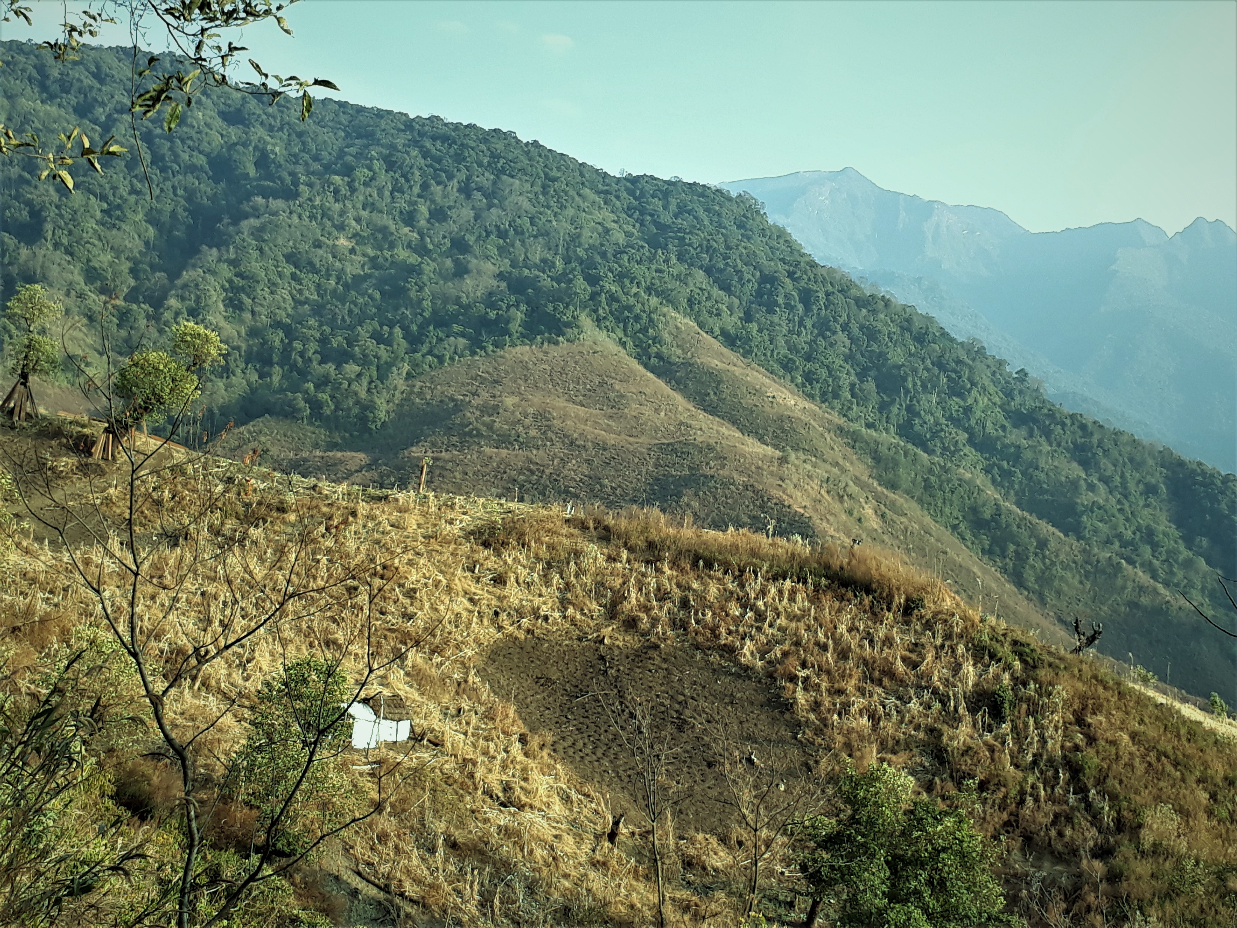
Kiphire District (Pron:/ˈkɪfɑɪə/) is a district in the Indian state of Nagaland and the native home of the Sangtam Nagas. At , the district is the tenth-most populous district of Nagaland as of 2011. It was carved out of Tuensang district becoming a district in 2004 along with Longleng district. Headquartered at Kiphire town, the district is 230 kilometres from state-capital Kohima. History Kiphire district was carved out of Tuensang district in 2003, becoming the eleventh district of Nagaland. An administrative headquarters at Kiphire was created on 16 June 1952 after surveys were done to open more administrative headquarters. The district was formally created in 2003 with 7 subdivisions, namely, Seyochung, Pungro, Amahator, Kiphire Sadar, Longmatra, Sitimi and Kiusam. Another subdivision, namely, Khongsa was carved out of Pungro subdivision taking the total number of subdivisions of Kiphire district to 8. The first Base Area Superintendent of the district was S.D ... [...More Info...] [...Related Items...] OR: [Wikipedia] [Google] [Baidu] |
List Of Districts Of Nagaland
The Indian States and territories of India, state of Nagaland, has 17 administrative districts: Chümoukedima district, Chümoukedima, Dimapur district, Dimapur, Kiphire district, Kiphire, Kohima district, Kohima, Longleng district, Longleng, Meluri district, Meluri, Mokokchung district, Mokokchung, Mon district, Mon, Niuland district, Niuland, Noklak district, Noklak, Peren district, Peren, Phek district, Phek, Shamator district, Shamator, Tuensang district, Tuensang, Tseminyü district, Tseminyü, Wokha district, Wokha and Zünheboto district, Zünheboto. Administration A district of an Indian state is an administrative geographical unit, headed by a district magistrate or a deputy commissioner, an officer belonging to the Indian Administrative Service. The district magistrate or the deputy commissioner is assisted by a number of officials belonging to different wings of the administrative services of the state. A superintendent of police, an officer belonging to the India ... [...More Info...] [...Related Items...] OR: [Wikipedia] [Google] [Baidu] |
Tokheho Yepthomi
Tokheho Yepthomi (born 1 April 1956) is an Indian politician from Nagaland. He is a five term Member of Legislative Assembly and former Cabinet Minister of Nagaland and two term Member of Parliament, Lok Sabha for Nagaland. Early life and personal life Tokheho Yepthomi was born and raised in Aghunato, Nagaland. He graduated from St. Edmund's College, Shillong and was an active student leader in his college days. He served as the President of Eastern Sumi Students Union before entering active politics as a member of the Indian National youth Congress. Political career Tokheho Yepthomi has been elected to the Nagaland Legislative Assembly for 5 terms from 1993 to 2018. He has served as a cabinet minister for Transport and Communication, Public Health Engineering Department and Public Works Department from 1995 to 2008 under former Chief Ministers S C Jamir and Neiphiu Rio. He served as the Congress Legislature Party Leader and Leader of Opposition in the state assembly fro ... [...More Info...] [...Related Items...] OR: [Wikipedia] [Google] [Baidu] |
Seyochung
Seyochung is a settlement in Kiphire district of Nagaland Nagaland () is a States and union territories of India, state in the northeast India, north-eastern region of India. It is bordered by the Indian states of Arunachal Pradesh to the north, Assam to the west, Manipur to the south, and the Naga Sel ... state of India.District Census Handbook: Kiphire " Census of India 2011, Directorate of Census Operations, Nagaland, Government of India, 2011 Population According to the 2011 Census of India, there were two parts of Seyochung. Seyochung Hq had a population of 840, while Seyochung Village had a population of 1,457 people.[...More Info...] [...Related Items...] OR: [Wikipedia] [Google] [Baidu] |
Kohima
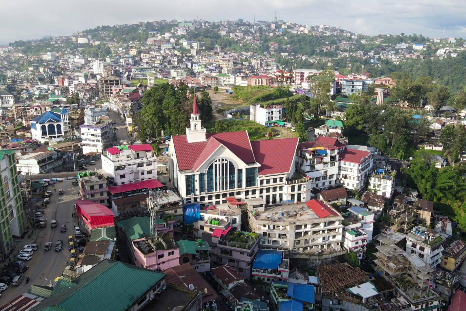
Kohima (; Tenyidie: Kewhira ()) is the capital of the North East Indian state of Nagaland. With a resident population of almost 100,000, it is the second largest city in the state. Kohima constitutes both a district and a municipality. The municipality covers . The city lies on the foothills of Japfü section of the Barail Range located south of the District () and has an average elevation of . Originally known as Kewhira, Kohima's history goes back to a time when it was a village of the Angami Nagas. It became an urban centre in 1878 when the British Empire established its headquarters of the then Naga Hills District of Assam Province. It officially became the capital after the state of Nagaland was inaugurated in 1963. Kohima was the site of one of the bloodiest battles of World War II. The battle is often referred to as the ''Stalingrad of the East''. In 2013, the British National Army Museum voted the Battle of Kohima to be ''Britain's Greatest Battle''. Etymology ... [...More Info...] [...Related Items...] OR: [Wikipedia] [Google] [Baidu] |
Longleng District
Longleng district (Pron:/ˈlɒŋˌlɛŋ/) is a hilly district located in the northern part of the Indian state of Nagaland. It is home to the Phom Nagas. Its headquarter is the Longleng town. The boundary of the district is well demarcated by natural rivers such as the Dikhu river. It is bounded by Mon district in the east; Assam in the north; Tuensang district in the south; and Mokokchung district in the west. The mount Yingnyiüshang in the south-eastern part of the district with an approximate height of 2500 meters above sea level is the highest peak. The Yingnyiü mount is identified as biodiversity hotspot: it hosts species-rich tropical rain forest and supports diverse flora and fauna. It has the distinction of being one of the few places in Nagaland where virgin forests are still found. Along the sides of Dikhu river and Yongam River there are a number of tourist attractions for fishing and picnicking. Geography Carved out of Tuensang district, Longleng is the tenth ... [...More Info...] [...Related Items...] OR: [Wikipedia] [Google] [Baidu] |
Sangtam Naga
The Sangtams are a Naga ethnic group native to the Kiphire District and Tuensang district in the Northeast Indian state of Nagaland. Like many other ethnic groups in Northeast India, they practice jhum, or shifting cultivation. Unlike other Naga ethnic groups in Nagaland, many of the Sangtam have retained their traditional beliefs in spite of embracing Christianity at the same time. Sangtams celebrate twelve different festivals, in particular '' Mungmung'', all of which are affiliated with their traditional culture and religion. The Sangtam people are one of the major ethnic groups in Nagaland. Towards the south-eastern part of Nagaland, they inhabit the Kiphire District. The northern part of Sangtam includes the Longkhim-Chare sub-division of Tuensang District. They are united under the common banner called "United Sangtam". There are 62 recognised villages of the Sangtams, 24 villages under Longkhim-Chare sub-division and 38 villages under Kiphire District as of recent d ... [...More Info...] [...Related Items...] OR: [Wikipedia] [Google] [Baidu] |
India
India, officially the Republic of India, is a country in South Asia. It is the List of countries and dependencies by area, seventh-largest country by area; the List of countries by population (United Nations), most populous country since 2023; and, since its independence in 1947, the world's most populous democracy. Bounded by the Indian Ocean on the south, the Arabian Sea on the southwest, and the Bay of Bengal on the southeast, it shares land borders with Pakistan to the west; China, Nepal, and Bhutan to the north; and Bangladesh and Myanmar to the east. In the Indian Ocean, India is near Sri Lanka and the Maldives; its Andaman and Nicobar Islands share a maritime border with Thailand, Myanmar, and Indonesia. Modern humans arrived on the Indian subcontinent from Africa no later than 55,000 years ago., "Y-Chromosome and Mt-DNA data support the colonization of South Asia by modern humans originating in Africa. ... Coalescence dates for most non-European populations averag ... [...More Info...] [...Related Items...] OR: [Wikipedia] [Google] [Baidu] |
National Highway 202 (India)
National Highway 202 (NH 202) is a National Highway in India that links Mokokchung to Imphal and runs for a distance of . It partly uses the alignment of National Highway 150 (India, old numbering), National Highway 150 of the old numbering scheme. References {{IND NH2 sr National highways of India National highways in Nagaland National highways in Manipur, 202 Mokokchung district ... [...More Info...] [...Related Items...] OR: [Wikipedia] [Google] [Baidu] |
Roads In India
Roads in India are an important mode of transport in India. India has a network of over 6,617,100 km of roads. As of Dec 2024, India has the largest road network in the world. At () of roads per square kilometre of land, the quantitative density of India's road network is equal to that of Hong Kong, and substantially higher than the United States (), China (), Brazil () and Russia (). Adjusted for its large population, India has approximately of roads per 1,000 people, which is much lower than United States but higher than that of China . India's road network carries over 71% of its freight and about 85% of passenger traffic. Since the 1990s, major efforts have been underway to modernize the country's road infrastructure. As of 31 March 2020, 70.00% of Indian roads were paved. As of 31 December 2023, India had completed and placed into use over of four or more lane highways connecting many of its major manufacturing, commercial and cultural centres. According to the ... [...More Info...] [...Related Items...] OR: [Wikipedia] [Google] [Baidu] |
Indian Standard Time
Indian Standard Time (IST), sometimes also called India Standard Time, is the time zone observed throughout the Republic of India, with a time offset of UTC+05:30. India does not observe daylight saving time or other seasonal adjustments. In military and aviation time, IST is designated E* ("Echo-Star"). It is indicated as ''Asia/Kolkata'' in the IANA time zone database. History The Indian Standard Time was adopted on 1 January 1906 during the British era with the phasing out of its precursor Madras Time (Railway Time), and after Independence in 1947, the Union government established IST as the official time for the whole country, although Kolkata and Mumbai retained their own local time (known as Calcutta Time and Bombay Time) until 1948 and 1955, respectively. The Central observatory was moved from Chennai to a location at Shankargarh Fort in Allahabad district, so that it would be as close to UTC+05:30 as possible. Daylight Saving Time (DST) was used brief ... [...More Info...] [...Related Items...] OR: [Wikipedia] [Google] [Baidu] |
Deputy Commissioner
A deputy commissioner is a police, income tax or administrative official in many countries. The rank is commonplace in police forces of Commonwealth of Nations, Commonwealth countries, usually ranking below the Commissioner. Australia In all Australian police forces, deputy commissioner is the rank directly below that of commissioner and senior to the rank of Assistant commissioner (police), assistant commissioner. In all forces, excepting the New South Wales Police Force where the insignia is crossed and wreathed tipstaves surmounted by a crown, the same insignia as that of a lieutenant-general in the army, the insignia is a diamond (or a star, in the case of the Victoria Police), the same as that of a major-general in the army. Bangladesh The Deputy Commissioner (popularly abbreviated to "DC") or Deputy Commissioner (Bangladesh), District Magistrate is the executive head of the districts of Bangladesh, district, an administrative sub-unit of a divisions of Bangladesh, division. ... [...More Info...] [...Related Items...] OR: [Wikipedia] [Google] [Baidu] |

