|
Kingston Road (other)
Kingston Road may refer to: * Kingston Road, London, England * Kingston Road, Oxford, England * Kingston Road (Toronto), Canada * Durham Regional Highway 2, the continuation of the Toronto Kingston Road into Durham Region See also * Kingston Bridge (other) {{Road disambiguation ... [...More Info...] [...Related Items...] OR: [Wikipedia] [Google] [Baidu] |
Kingston Road, London
Wimbledon Chase is a south-west London suburb part of the wider Wimbledon area. It takes its name from Wimbledon Chase railway station and thus it is an informal definition: parts vie with the definitions of Merton Park, which has a tram link stop to the east of Wimbledon Chase station. Also contemporary suburb names which compete with the definition of this modestly-sized district of Merton to the west and south are Raynes Park and South Merton, respectively. The area contains Wimbledon Chase Primary School and is largely residential in character, with a small parade of shops A shopping parade, also known as a parade of shops, suburban parade, neighbourhood parade, or just a simply a parade is a group of between five and 40 shops in one or more continuous rows, mostly being retail and serving a local customer base; in ... on Kingston Road (including a Co-operative Food, a Tesco Express and a BP garage with an M&S concession). History See Merton, London (parish) Loca ... [...More Info...] [...Related Items...] OR: [Wikipedia] [Google] [Baidu] |
Kingston Road, Oxford
Kingston Road is a road in Oxford, England. It continues north from Walton Street, at the junction with Walton Well Road to the west and St Bernard's Road to the east, running parallel with and to the west of Woodstock Road. Kingston Road is the main road in Walton Manor. At the northern end, there is a staggered junction with Aristotle Lane to the west and Polstead Road to the east. The road continues as Hayfield Road. Southmoor Road and Southmoor Place lead off Kingston Road to the west. The area was formerly part of the estate of St John's College, Oxford. Kingston Road is named after the village of Kingston Bagpuize, whose Church of England parish church is under the patronage of the college. Many of the houses in Kingston Road are terraced, created as part of the generally grander North Oxford estate to the east. Numbers 114–138, 149–156 and 159–164 are terraces built in 1870–75 by the local architect C.C. Rolfe. All are Grade II listed buildings. I ... [...More Info...] [...Related Items...] OR: [Wikipedia] [Google] [Baidu] |
Kingston Road (Toronto)
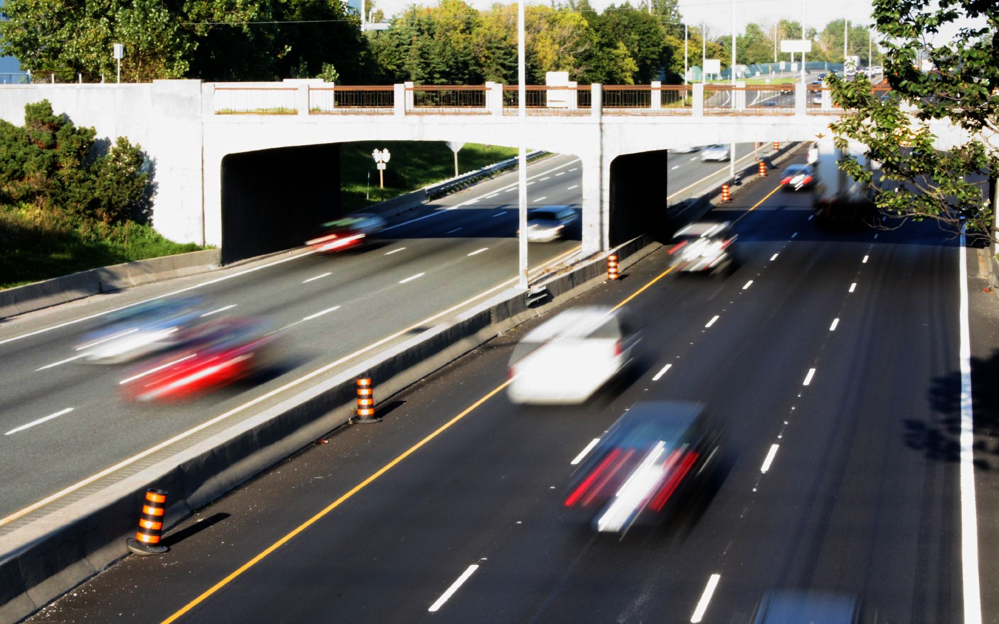
Kingston Road is a major historic arterial road in Toronto and Durham Region, Ontario. It is the southernmost major (mainly) east-west road in the eastern portion of Toronto, specifically in the district of Scarborough, Toronto, Scarborough, and runs east to Ajax, Ontario, Ajax in Durham. Due to its diagonal course near the shore of Lake Ontario, the street is the terminus of many arterial roads in eastern Toronto, both east–west and north-south, with a few continuing for a short distance after as minor residential streets. However Lawrence Avenue continues as a major arterial for a considerable distance beyond it. Until 1998, it formed a portion of Ontario Highway 2, Highway 2. The name of the street is derived from Kingston, Ontario as the road was the primary route used to travel from Toronto to the settlements east of it situated along the shores of Lake Ontario; in the west end of Kingston, the road was referred to as the York Road (referring to Toronto) until at least 1908 ... [...More Info...] [...Related Items...] OR: [Wikipedia] [Google] [Baidu] |
Durham Regional Highway 2
The numbered roads in the Regional Municipality of Durham account for about of the county road system in the Canadian province of Ontario. The Durham Region Works Department owns and maintains the regional roads and regional highways, while the Ministry of Transportation of Ontario (MTO) owns and maintains the King's Highways in the region. The 67 (7 King's Highways, 4 Regional Highways, and 56 Regional Roads) numbered roads provide access to the entirety of the region. Highway 401 forms the backbone of the region, traveling from the western boundary of the region to the eastern boundary alongside Lake Ontario, and serving over 200,000 vehicles per day. Several provincially maintained highways existed in the region prior to 1998, when they were transferred to municipal government in the region as part of a province-wide downloading of highways. Where the regional tier of municipal government has since been responsible for these routes, they have been designated as ''Durham Regio ... [...More Info...] [...Related Items...] OR: [Wikipedia] [Google] [Baidu] |
Durham Region
The Regional Municipality of Durham (), informally referred to as Durham Region, is a regional municipality in Southern Ontario, Canada. Located east of Toronto and the Regional Municipality of York, it forms the east end of the Greater Toronto Area (GTA) and is part of the Golden Horseshoe region. It has an area of approximately . The regional government is headquartered in Whitby. The southern portion of Durham Region, on Lake Ontario, is primarily suburban in nature, forming the eastern end of the " 905 belt" of suburbs around Toronto, while the northern portion comprises rural areas and small towns. The city of Pickering, town of Ajax, and the township of Uxbridge are part of the Toronto Census Metropolitan Area, while the communities of Oshawa, Whitby, and Clarington comprise the Oshawa Census Metropolitan Area. Administrative divisions Durham Region consists of the following municipalities (in order of population): It also contains one First Nations reserve: Mississau ... [...More Info...] [...Related Items...] OR: [Wikipedia] [Google] [Baidu] |


