|
Gundungurra People
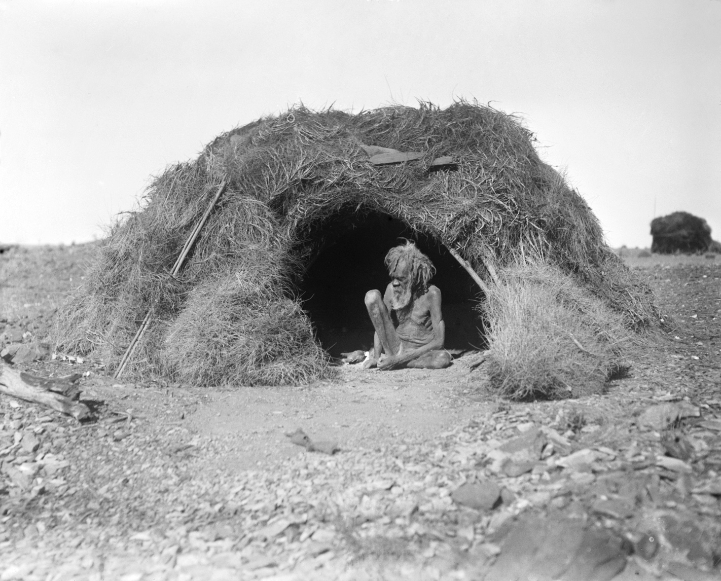
The Gandangara people, also spelled Gundungara, Gandangarra, Gundungurra and other variations, are an Aboriginal Australian people in south-eastern New South Wales, Australia. Their traditional lands include present day Goulburn, Wollondilly Shire, The Blue Mountains and the Southern Highlands. Name The ethnonym ''Gundangara'' combines lexical elements signifying both "east" and "west". Language The first attempt at a brief description of the Gundangara language was undertaken by R. H. Mathews in 1901. The language is classified as a subset of the Yuin-Kuric branch of the Pama-Nyungan language family, and is very close to Ngunnawal. Country The Gandangara lived throughout an area covering an estimated in the south-east region of New South Wales. According to Norman Tindale, their lands encompassed Goulburn and Berrima, running down the Nepean River (''Wollondilly'') until the vicinity of Camden. This includes the catchments of the Wollondilly and Coxs rivers, and some ... [...More Info...] [...Related Items...] OR: [Wikipedia] [Google] [Baidu] |
Norman Tindale
Norman Barnett Tindale AO (12 October 1900 – 19 November 1993) was an Australian anthropologist, archaeologist, entomologist and ethnologist. He is best remembered for his work mapping the various tribal groupings of Aboriginal Australians at the time of European settlement, shown in his map published in 1940. This map provided the basis of a map published by David Horton in 1996 and widely used in its online form today. Tindale's major work was ''Aboriginal Tribes of Australia: Their terrain, Environmental Controls, Distribution, Limits and Proper Names'' (1974). Life Tindale was born on 12 October 1900 in Perth, Western Australia. His family moved to Tokyo and lived there from 1907 to 1915, where his father worked as an accountant at the Salvation Army mission in Japan. Norman attended the American School in Japan, where his closest friend was Gordon Bowles, a Quaker who, like him, later became an anthropologist. The family returned to Perth in August 1917, and soon ... [...More Info...] [...Related Items...] OR: [Wikipedia] [Google] [Baidu] |
Nepean River
The Nepean River (Darug language, Darug: Yandhai), is a Perennial stream, major perennial river, located in the south-west and west of Sydney, New South Wales, Australia. The Nepean River, and, continuing by its downstream name, the Hawkesbury River, almost encircles the metropolitan region of Sydney. The headwaters of the Nepean River rise near Robertson, New South Wales, Robertson, about south of Sydney and about from the Tasman Sea. The river flows north in an unpopulated water catchment area into Upper Nepean Scheme#Nepean Dam, Nepean Reservoir, which supplies potable water for Sydney. North of the dam, the river forms the western edge of Sydney, flowing past the town of Camden, New South Wales, Camden and the city of Penrith, New South Wales, Penrith, south of which flowing through the Nepean Gorge. Near Wallacia, New South Wales, Wallacia it is joined by the dammed Warragamba River; and north of Penrith, near Yarramundi, New South Wales, Yarramundi, at its confluence wi ... [...More Info...] [...Related Items...] OR: [Wikipedia] [Google] [Baidu] |
Camden, New South Wales
Camden is a historic town and suburb of Sydney, New South Wales, located 65 kilometres south-west of the Sydney central business district. Camden was the administrative centre for the local government area of Camden Council until July 2016 and is a part of the Macarthur region. History Indigenous people The area now known as Camden was originally at the northern edge of land belonging to the Gandangara people of the Southern Highlands, who called it Benkennie, meaning 'dry land'. North of the Nepean River were the Muringong, the southernmost of the Darug people, while to the east were the Tharawal people. They lived in extended family groups of 20–40 members, hunting kangaroos, possums and eels and gathering yams and other seasonal fruit and vegetables from the local area. They were described as 'short, stocky, strong and superbly built' and generally considered peaceful. However, as British settlers encroached on their land and reduced their food sources, they turned ... [...More Info...] [...Related Items...] OR: [Wikipedia] [Google] [Baidu] |
Berrima, New South Wales
Berrima () is a historic village in the Southern Highlands, New South Wales, Southern Highlands of New South Wales, Australia, in Wingecarribee Shire. The village, once a major town, is located on the Old Hume Highway between Sydney and Canberra. It was previously known officially as the Town of Berrima. It is close to the three major towns of the Southern Highlands, New South Wales, Southern Highlands: Mittagong, Bowral and Moss Vale. Etymology The name ''Berrima'' is believed to derive from an Indigenous Australians, Aboriginal word meaning either "southward" or "black swan". History The area around Berrima was once occupied by the Dharawal Aborigines. The region and Wingecarribee River was first visited by Europeans during the late 1790s, including a 1798 expedition led by an ex-convict, John Wilson. However, John and Hamilton Hume rediscovered the area in 1814. The area was explored by Charles Throsby in 1818. Runs were taken up soon after, including by one by Charl ... [...More Info...] [...Related Items...] OR: [Wikipedia] [Google] [Baidu] |
Goulburn
Goulburn ( ) is a regional city in the Southern Tablelands of New South Wales, Australia, approximately south-west of Sydney and north-east of Canberra. It was proclaimed as Australia's first inland city through letters patent by Queen Victoria in 1863. Goulburn had a population of as of the . Goulburn is the seat of Goulburn Mulwaree Council. Goulburn is a Goulburn railway station, railhead on the Main Southern railway line, New South Wales, Main Southern line, and regional health & government services centre, supporting the surrounding pastoral industry as well as being a stopover for travellers on the Hume Highway. It has a central historic park and many historic and listed buildings. It is also home to the monument the Big Merino, a sculpture that is the world's largest concrete sheep. History Goulburn was named by surveyor James Meehan (surveyor), James Meehan after Henry Goulburn, Under-Secretary for War and the Colonies, and the name was ratified by Governor Lachlan M ... [...More Info...] [...Related Items...] OR: [Wikipedia] [Google] [Baidu] |
Robert Hamilton Mathews
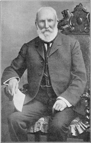
Robert Hamilton Mathews (1841–1918) was an Australian surveyor and self-taught anthropologist who studied the Aboriginal cultures of Australia, especially those of Victoria, New South Wales and southern Queensland. He was a member of the Royal Society of New South Wales and a corresponding member of the Anthropological Institute of London (later the Royal Anthropological Institute). Mathews had no academic qualifications and received no university backing for his research. Mathews supported himself and his family from investments made during his lucrative career as a licensed surveyor. He was in his early fifties when he began the investigations of Aboriginal society that would dominate the last 25 years of his life. During this period he published 171 works of anthropology running to approximately 2200 pages. Mathews enjoyed friendly relations with Aboriginal communities in many parts of south-east Australia. Marginalia in a book owned by Mathews suggest that Aboriginal ... [...More Info...] [...Related Items...] OR: [Wikipedia] [Google] [Baidu] |
Burragorang Language
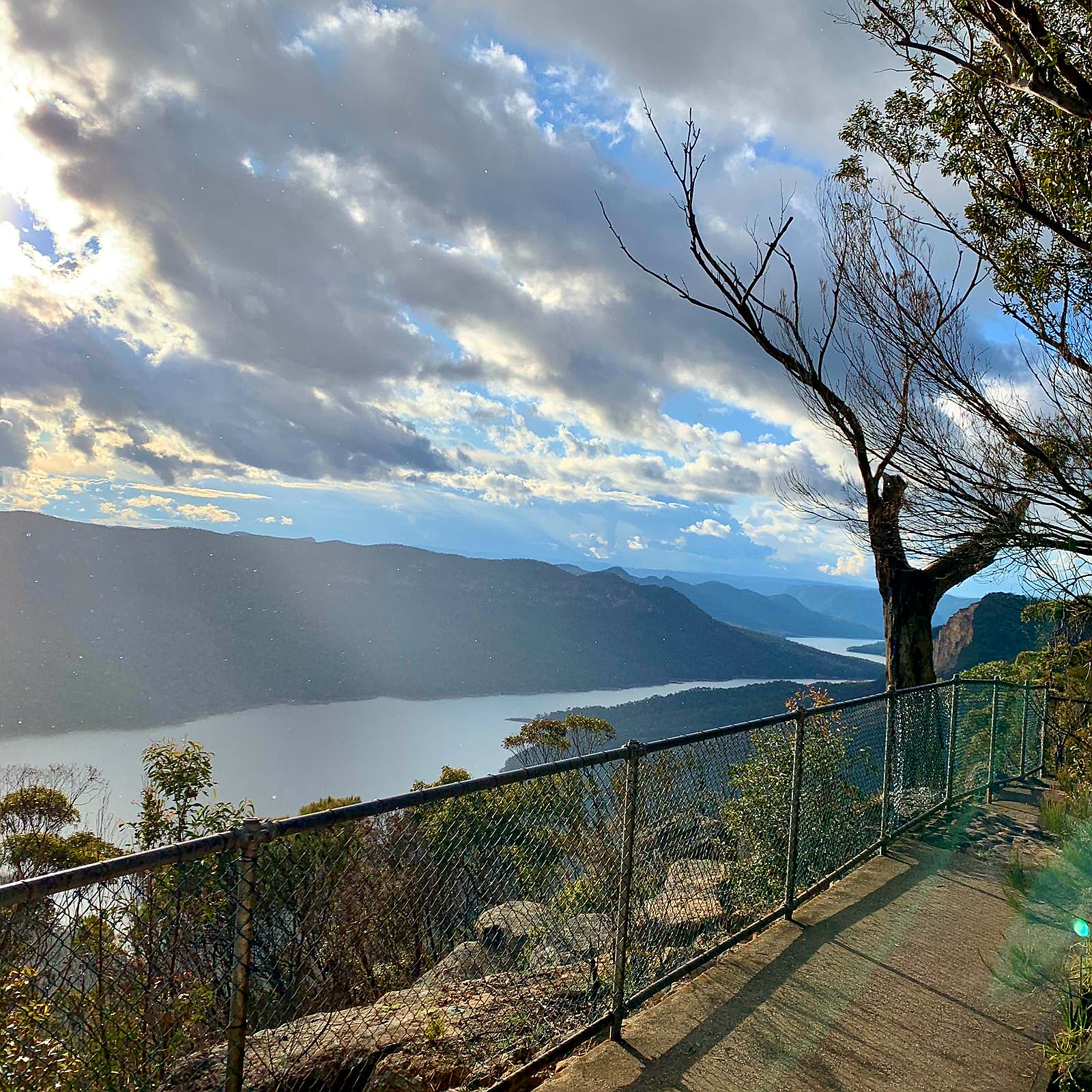
Burragorang or Burragorang Valley is a locality in the Macarthur Region of New South Wales, Australia, in Wollondilly Shire. It is home to Lake Burragorang, which is impounded by Warragamba Dam. It is partially encompassed by Blue Mountains National Park and Nattai National Park. History For tens of thousands of years before European colonisation, the Burragorang area was inhabited by the Gandangara (or Gundagurra) people, who lived throughout the south-east region of New South Wales. In 1827, the town of Burragorang was established. Coal mining commenced in 1878 and, up to the 1960s, the area was a major supplier of coal. Lead and silver were also mined in the valley until about 1927. With the boom in Sydney's population after World War II, the Warragamba Dam was constructed between 1948 and 1960 on the Warragamba River, inundating the Burragorang Valley, creating Lake Burragorang. Consequently, the town of Burragorang and others like it in the valley were lost under wate ... [...More Info...] [...Related Items...] OR: [Wikipedia] [Google] [Baidu] |
Ethnonym
An ethnonym () is a name applied to a given ethnic group. Ethnonyms can be divided into two categories: exonyms (whose name of the ethnic group has been created by another group of people) and autonyms, or endonyms (whose name is created and used by the ethnic group itself). For example, the dominant ethnic group of Germany is the Germans. The ethnonym ''Germans'' is a Latin-derived exonym used in the English language, but the Germans call themselves , an endonym. The German people are identified by a variety of exonyms across Europe, such as (French language, French), (Italian language, Italian), (Swedish language, Swedish) and (Polish language, Polish). As a sub-field of anthroponymy, the study of ethnonyms is called ethnonymy or ethnonymics. Ethnonyms should not be confused with demonyms, which designate all the people of a geographic territory, regardless of ethnic or linguistic divisions within its population. Variations Numerous ethnonyms can apply to the same ethni ... [...More Info...] [...Related Items...] OR: [Wikipedia] [Google] [Baidu] |
Goulburn, New South Wales
Goulburn ( ) is a regional city in the Southern Tablelands of New South Wales, Australia, approximately south-west of Sydney and north-east of Canberra. It was proclaimed as Australia's first inland city through letters patent by Queen Victoria in 1863. Goulburn had a population of as of the . Goulburn is the seat of Goulburn Mulwaree Council. Goulburn is a Goulburn railway station, railhead on the Main Southern railway line, New South Wales, Main Southern line, and regional health & government services centre, supporting the surrounding pastoral industry as well as being a stopover for travellers on the Hume Highway. It has a central historic park and many historic and listed buildings. It is also home to the monument the Big Merino, a sculpture that is the world's largest concrete sheep. History Goulburn was named by surveyor James Meehan (surveyor), James Meehan after Henry Goulburn, Under-Secretary for War and the Colonies, and the name was ratified by Governor Lachlan M ... [...More Info...] [...Related Items...] OR: [Wikipedia] [Google] [Baidu] |
Aboriginal Australian
Aboriginal Australians are the various indigenous peoples of the Australian mainland and many of its islands, excluding the ethnically distinct people of the Torres Strait Islands. Humans first migrated to Australia 50,000 to 65,000 years ago, and over time formed as many as 500 language-based groups. In the past, Aboriginal people lived over large sections of the continental shelf. They were isolated on many of the smaller offshore islands and Tasmania when the land was inundated at the start of the Holocene inter-glacial period, about 11,700 years ago. Despite this, Aboriginal people maintained extensive networks within the continent and certain groups maintained relationships with Torres Strait Islanders and the Makassar people of modern-day Indonesia. Over the millennia, Aboriginal people developed complex trade networks, inter-cultural relationships, law and religions, which make up some of the oldest, and possibly ''the'' oldest, continuous cultures in the world ... [...More Info...] [...Related Items...] OR: [Wikipedia] [Google] [Baidu] |
Illawarra Escarpment
The Illawarra escarpment, or officially the Illawarra Range, is the fold-created cliffs and plateau-eroded outcrop mountain range west of the Illawarra coastal plain south of Sydney, in the state of New South Wales, Australia. The range encloses the Illawarra region which stretches from Stanwell Park in the north to Kiama, Gerringong and the Shoalhaven River in the south. Bells Hill, west of Knights Hill, is the highest point in the range at on the range's plateau; with a number of other peaks on the escarpment ranging from to a maximum of at Mount Murray southwest of Dapto. History The escarpment or scarp was created between 225 and 280 million years ago and since eroded by creeks to its present height around 30 million years ago. Most of it is sandstone, with many Hawkesbury sandstone boulders and ledges visible in addition to the actual cliffs. Its maximum heights are reached in the south, west of Albion Park at Knights Hill, , and Mount Murray, . This forms the ea ... [...More Info...] [...Related Items...] OR: [Wikipedia] [Google] [Baidu] |


